Germoe

Civil Parish in Cornwall

England

Germoe

OS Cut Mark: Germoe, Larkspur Cottage <span class="nowrap"><a title="https://www.bench-marks.org.uk/bm85462" rel="nofollow ugc noopener" href="https://www.bench-marks.org.uk/bm85462">Link</a><img style="margin-left:2px;" alt="External link" title="External link - shift click to open in new window" src="https://s1.geograph.org.uk/img/external.png" width="10" height="10"/></span>
OS Cut Mark: Germoe, Larkspur Cottage Credit: thejackrustles

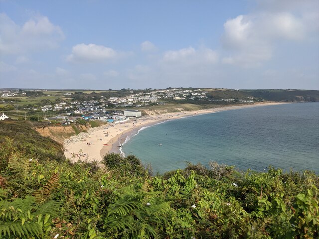
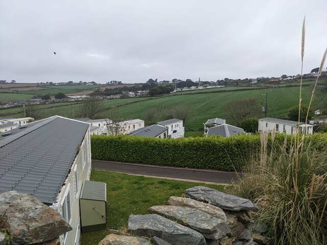
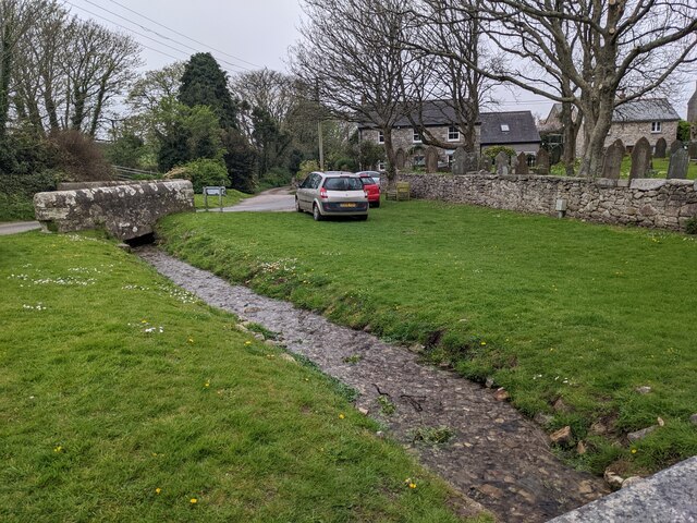
Germoe is a civil parish located in the county of Cornwall, England. It is situated near the town of Penzance and is part of the Penwith district. Germoe is known for its picturesque countryside, with rolling hills, lush green fields, and stunning coastal views.

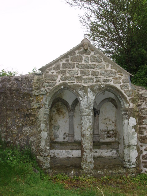
The parish is home to a number of historic sites, including the 12th-century church of St Germoe, which is dedicated to the local saint and features beautiful stained glass windows and intricate stone carvings. Germoe also has a rich mining history, with remnants of old mine workings scattered throughout the area.

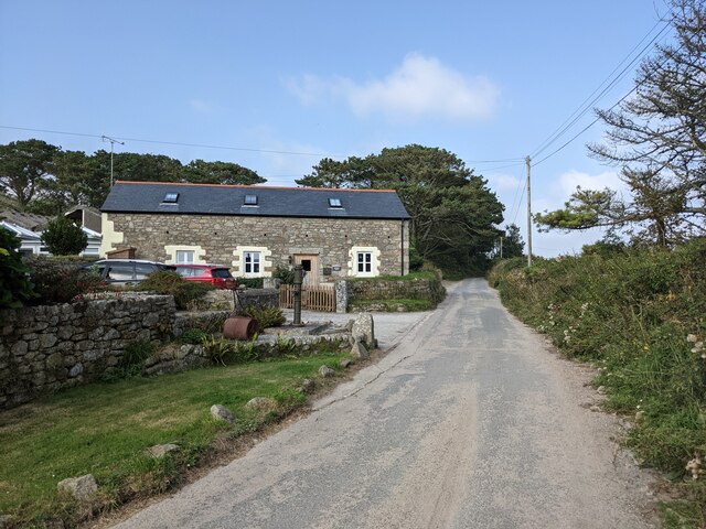
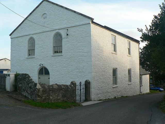
The village itself is small and charming, with a mix of traditional stone cottages and modern homes. There are a few amenities in Germoe, including a pub, a village hall, and a small primary school. The community is close-knit and friendly, with a strong sense of local pride and a commitment to preserving the area's natural beauty.

Overall, Germoe offers a peaceful and idyllic setting for residents and visitors alike, with plenty of opportunities for outdoor activities such as hiking, cycling, and birdwatching.

If you have any feedback on the listing, please let us know in the comments section below.
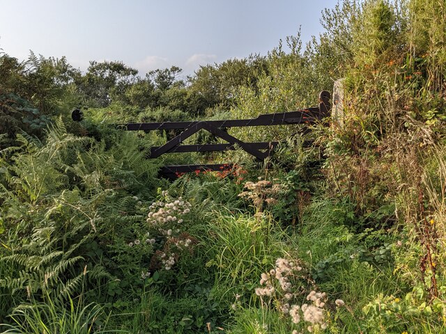
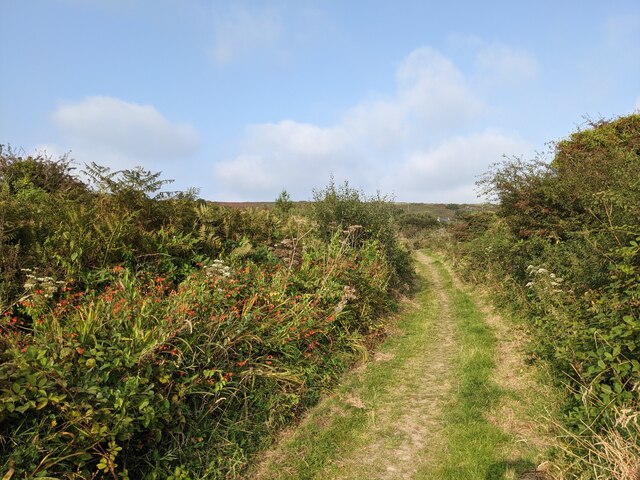
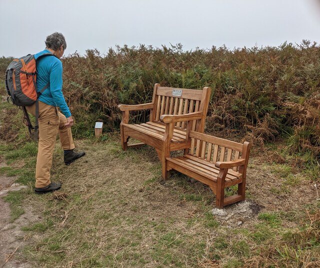
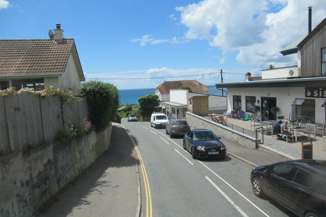
Germoe Images

Images are sourced within 2km of 50.118933/-5.376963 or Grid Reference SW5829. Thanks to Geograph Open Source API. All images are credited.

OS Cut Mark: Germoe, Larkspur Cottage <span class="nowrap"><a title="https://www.bench-marks.org.uk/bm85462" rel="nofollow ugc noopener" href="https://www.bench-marks.org.uk/bm85462">Link</a><img style="margin-left:2px;" alt="External link" title="External link - shift click to open in new window" src="https://s1.geograph.org.uk/img/external.png" width="10" height="10"/></span>
OS Cut Mark: Germoe, Larkspur Cottage
Looking over Praa Sands The vegetation on the Coast Path restricts the view from this area considerably.
Looking over Praa Sands
The vegetation on the Coast Path restricts the view from this area considerably.
Buildings at Hendra Farm
A patchwork gate beside the lane to Tregonning Hill
The lane from Balwest This well-surfaced lane is classified as a footpath. It seems obvious that this was the lane serving the quarries on Tregonning Hill and should, at the least, be a bridleway. Cornwall Council have now (2021) raised a Definitive Map Modification Order (DMMO) to change its status.
The lane from Balwest
This well-surfaced lane is classified as a footpath. It seems obvious that this was the lane serving the quarries on Tregonning Hill and should, at the least, be a bridleway. Cornwall Council have now (2021) raised a Definitive Map Modification Order (DMMO) to change its status.
The lane to the clay pit Unused and very much overgrown.
The lane to the clay pit
Unused and very much overgrown.
Bridleway near the clay pit pool The pool is only a few yards to the left, but completely hidden by vegetation.
Bridleway near the clay pit pool
The pool is only a few yards to the left, but completely hidden by vegetation.
A rather touching memorial bench on Tregonning Hill
A colourful wall on Hendra Lane
Praa Sands village
Praa Sands village
Castle Drive Praa Sands
The entrance to Haulfryn Coast holiday park
Shops in Praa Sands
Shops in Praa Sands
Looking down on Haulfryn Coast caravans
Looking towards Pengersick Castle
Bridleway at Pengersick
Looking east on the Pengersick bridleway
Stream and green space at Germoe
Show me another place!

Germoe is located at Grid Ref: SW5829 (Lat: 50.118933, Lng: -5.376963)

Unitary Authority: Cornwall

Police Authority: Devon & Cornwall

What 3 Words

///cubed.unveils.beard. Near Germoe, Cornwall

Nearby Locations

Germoe Germoe

Related Wikis

Germoe

Germoe (Cornish: Germogh) is a village and civil parish in Cornwall, England, United Kingdom. Germoe village, the parish's main settlement and church town...

Boscreege

Boscreege (Cornish: Boskrug) is a small village in the civil parish of Germoe in west Cornwall, in England, United Kingdom.The village is on the southern...

Balwest

Balwest (Cornish: Bal West, meaning Western mine) is a hamlet in the civil parish of Germoe in west Cornwall, England, in the United Kingdom.The hamlet...

Great Work Mine

Great Work Mine was a Cornish mine between Godolphin hill and Tregonning Hill and is in the hamlet of Great Work on Bal Lane. Great Work is notable for...

Nearby Amenities

Located within 500m of 50.118933,-5.376963
Germoe
Name Kw: Germogh
Place: village
Source: npe
Wikidata: Q2182858
Wikipedia: en:Germoe
Lat/Long: 50.1155103/-5.3794023
Power: pole
Lat/Long: 50.119284/-5.3702062
Power: pole
Lat/Long: 50.120094/-5.3707588
Power: pole
Lat/Long: 50.1217484/-5.3718987
Power: pole
Lat/Long: 50.1160205/-5.3817934
Power: pole
Lat/Long: 50.1172158/-5.3814541
Power: pole
Lat/Long: 50.1183088/-5.3811577
Power: pole
Lat/Long: 50.1192521/-5.3808787
Power: pole
Lat/Long: 50.1198326/-5.3807151
Power: pole
Lat/Long: 50.1208902/-5.3804335
Power: pole
Lat/Long: 50.1214792/-5.3802605
Power: pole
Lat/Long: 50.1223176/-5.3800499
Power: pole
Lat/Long: 50.1230055/-5.3798649
Post Box
Brand: Royal Mail
Brand Wikidata: Q638098
Collection Times: Mo-Fr 17:00; Sa 08:45; Su off
Drive Through: no
Operator: Royal Mail
Operator Wikidata: Q638098
Post Box Mounting: pier
Post Box Type: lamp
Ref: TR20 34
Royal Cypher: EIIR
Royal Cypher Wikidata: Q33102113
Source: survey;streetlevel imagery;aerial imagery
Lat/Long: 50.1152857/-5.3788173
The data included in this document is from www.openstreetmap.org. The data is made available under ODbL.

Have you been to Germoe?

Leave your review of Germoe below (or comments, questions and feedback).