Georgeham

Civil Parish in Devon North Devon

England

Georgeham

Broadway Lane Footpath on track between high hedges.
Broadway Lane Credit: David Martin

Georgeham is a civil parish located in North Devon, England. It is situated near the coast, just a few miles from the popular seaside town of Croyde. The parish is made up of the villages of Georgeham and Croyde, as well as the hamlets of Putsborough and Pickwell.

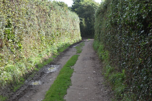
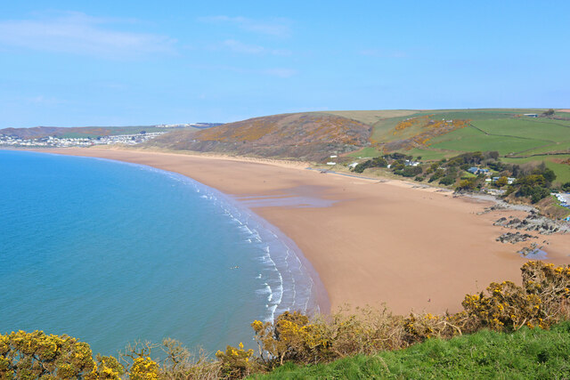
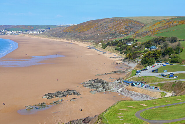
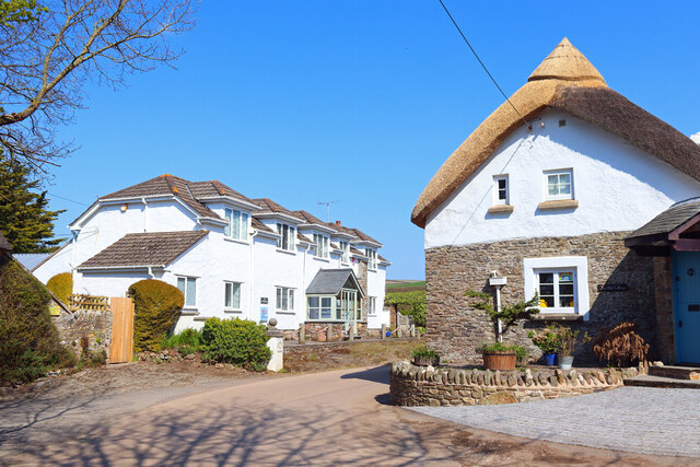
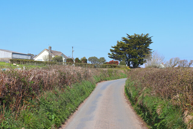
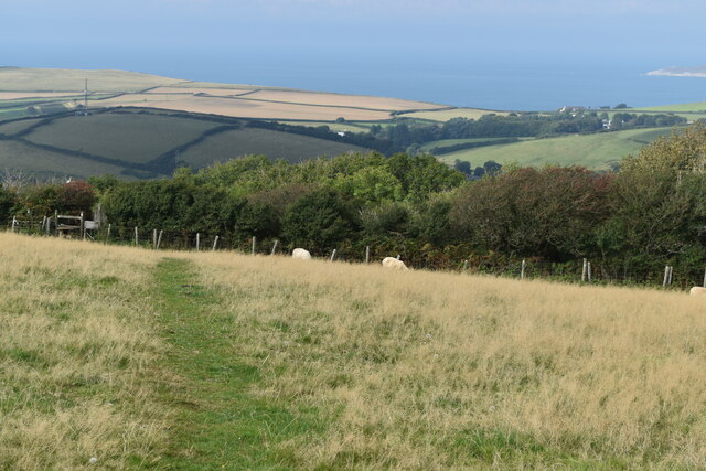
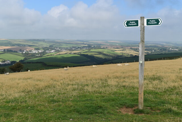
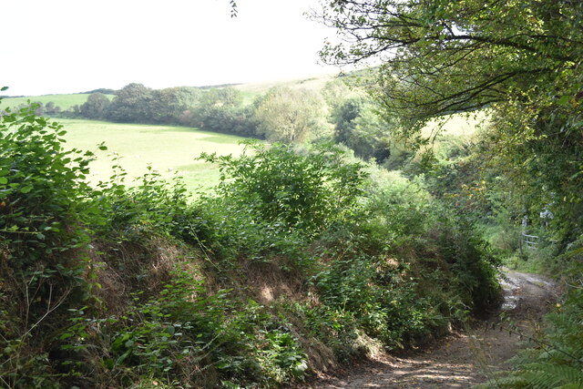
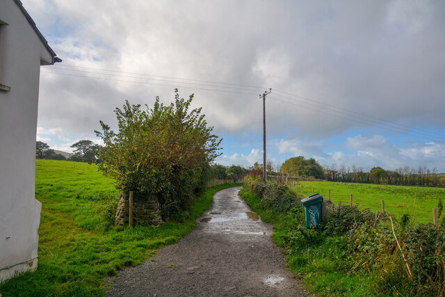
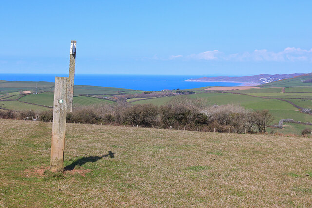
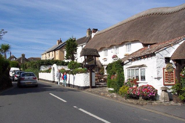
Georgeham is known for its picturesque countryside, with rolling hills, lush green fields, and charming traditional stone cottages. The area is popular with tourists looking to explore the stunning North Devon coastline, as well as surfers who come to ride the waves at nearby Croyde Bay.

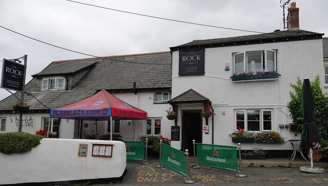
In terms of amenities, Georgeham has a few small shops, a village hall, and a church. There are also a number of pubs and restaurants in the area, serving up delicious local fare and refreshing drinks.

Overall, Georgeham is a peaceful and scenic parish, perfect for those looking to escape the hustle and bustle of city life and enjoy the beauty of the English countryside. It is a popular destination for holidaymakers and outdoor enthusiasts alike.

If you have any feedback on the listing, please let us know in the comments section below.

Georgeham Images

Images are sourced within 2km of 51.139436/-4.205283 or Grid Reference SS4540. Thanks to Geograph Open Source API. All images are credited.

Broadway Lane Footpath on track between high hedges.
Broadway Lane
Footpath on track between high hedges.
Putsborough sand Seen from the South West Coast Path.
Putsborough sand
Seen from the South West Coast Path.
Putsborough Sand Car Park at Putsborough Sand.
Putsborough Sand
Car Park at Putsborough Sand.
Putsborough Road Cottages on Putsborough Road.
Putsborough Road
Cottages on Putsborough Road.
Buckland Road Near Bye Cross.
Buckland Road
Near Bye Cross.
Bye Cross Road junction near Georgeham.
Bye Cross
Road junction near Georgeham.
Downland path with distant view of Morte Bay
Footpath sign near summit between Croyde and Saunton
Milkaway Lane near Robber's Hall
Croyde Baptist Church
Thatched cottage in centre of Croyde
Front garden at Croyde Adjacent to the road junction in the centre of the village.
Front garden at Croyde
Adjacent to the road junction in the centre of the village.
The Rock Inn, Georgeham
The Manor House Inn, Croyde
Croyde : Sandy Lane Looking along Sandy Lane.
Croyde : Sandy Lane
Looking along Sandy Lane.
Croyde : Sandy Lane Looking along Sandy Lane.
Croyde : Sandy Lane
Looking along Sandy Lane.
Croyde : Hobb's Hill Looking along Hobb's Hill in Croyde.
Croyde : Hobb's Hill
Looking along Hobb's Hill in Croyde.
Footpath near Croyde Footpath marker near Croyde.
Footpath near Croyde
Footpath marker near Croyde.
Show me another place!

Georgeham is located at Grid Ref: SS4540 (Lat: 51.139436, Lng: -4.205283)

Administrative County: Devon

District: North Devon

Police Authority: Devon & Cornwall

What 3 Words

///stars.ruby.seriously. Near Braunton, Devon

Nearby Locations

Pickwell Vention Georgeham

Related Wikis

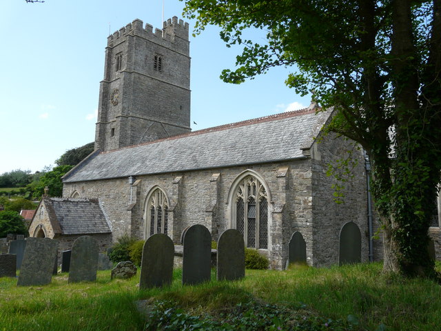
St George's Church, Georgeham

St George's Church is the Anglican parish church for the village of Georgeham in Devon. Dedicated to Saint George, the 13th-century church comes under...
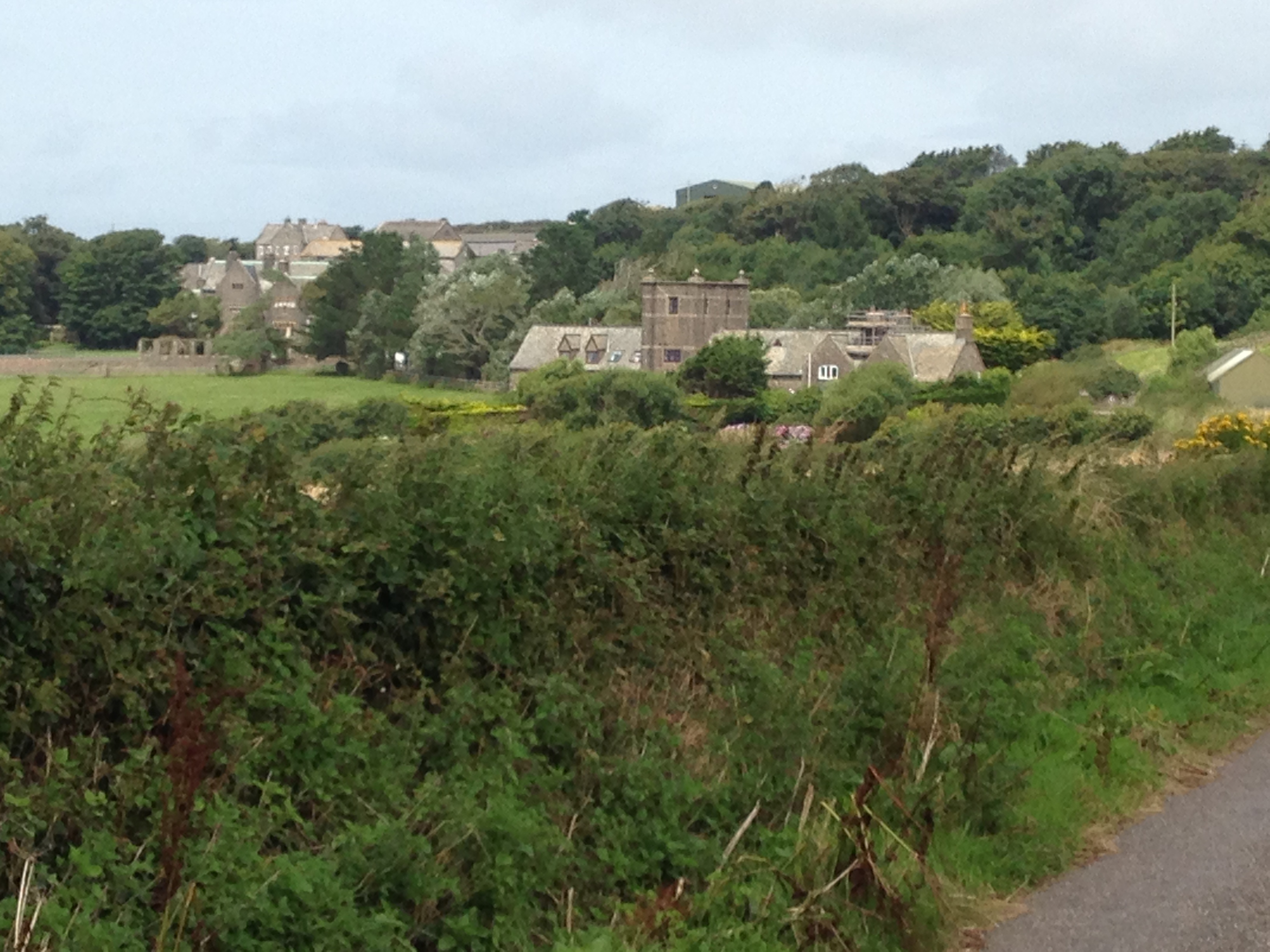
Pickwell, Devon

Pickwell is a small settlement with a converted manor house in the civil parish of Georgeham, in the North Devon district, in the county of Devon, England...

Croyde

Croyde is a village on the west-facing coastline of North Devon, England. The village lies on the South West Coast Path near to Baggy Point, which is owned...

Putsborough

Putsborough is a hamlet in Georgeham Civil Parish on the west-facing coast of North Devon, England. It is about 3⁄4 mile (1.2 km) north of the village...

Nearby Amenities

Located within 500m of 51.139436,-4.205283
Generator Method: photovoltaic
Generator Output Electricity: yes
Generator Source: solar
Generator Type: solar_photovoltaic_panel
Location: roof
Power: generator
Lat/Long: 51.137213/-4.200743
Generator Method: photovoltaic
Generator Output Electricity: yes
Generator Source: solar
Generator Type: solar_photovoltaic_panel
Location: roof
Power: generator
Lat/Long: 51.1376825/-4.2023403
Generator Method: photovoltaic
Generator Output Electricity: yes
Generator Source: solar
Generator Type: solar_photovoltaic_panel
Location: roof
Power: generator
Lat/Long: 51.1377759/-4.2027922
Passing Place
Lat/Long: 51.1380214/-4.205667
The data included in this document is from www.openstreetmap.org. The data is made available under ODbL.

Have you been to Georgeham?

Leave your review of Georgeham below (or comments, questions and feedback).