Garsington

Civil Parish in Oxfordshire South Oxfordshire

England

Garsington

Farmland, Garsington A footpath follows the edge of this field of wheat.
Farmland, Garsington Credit: Andrew Smith

Garsington is a civil parish located in the county of Oxfordshire, England. Situated about 5 miles east of the city of Oxford, it covers an area of approximately 6 square miles. The village is nestled in a picturesque rural setting and is surrounded by rolling hills and farmland.

Garsington has a rich history, dating back to the Saxon era. It was mentioned in the Domesday Book of 1086 as "Gersintone," indicating its long-standing existence. The village has retained much of its traditional charm, with many historic buildings and thatched cottages still standing.

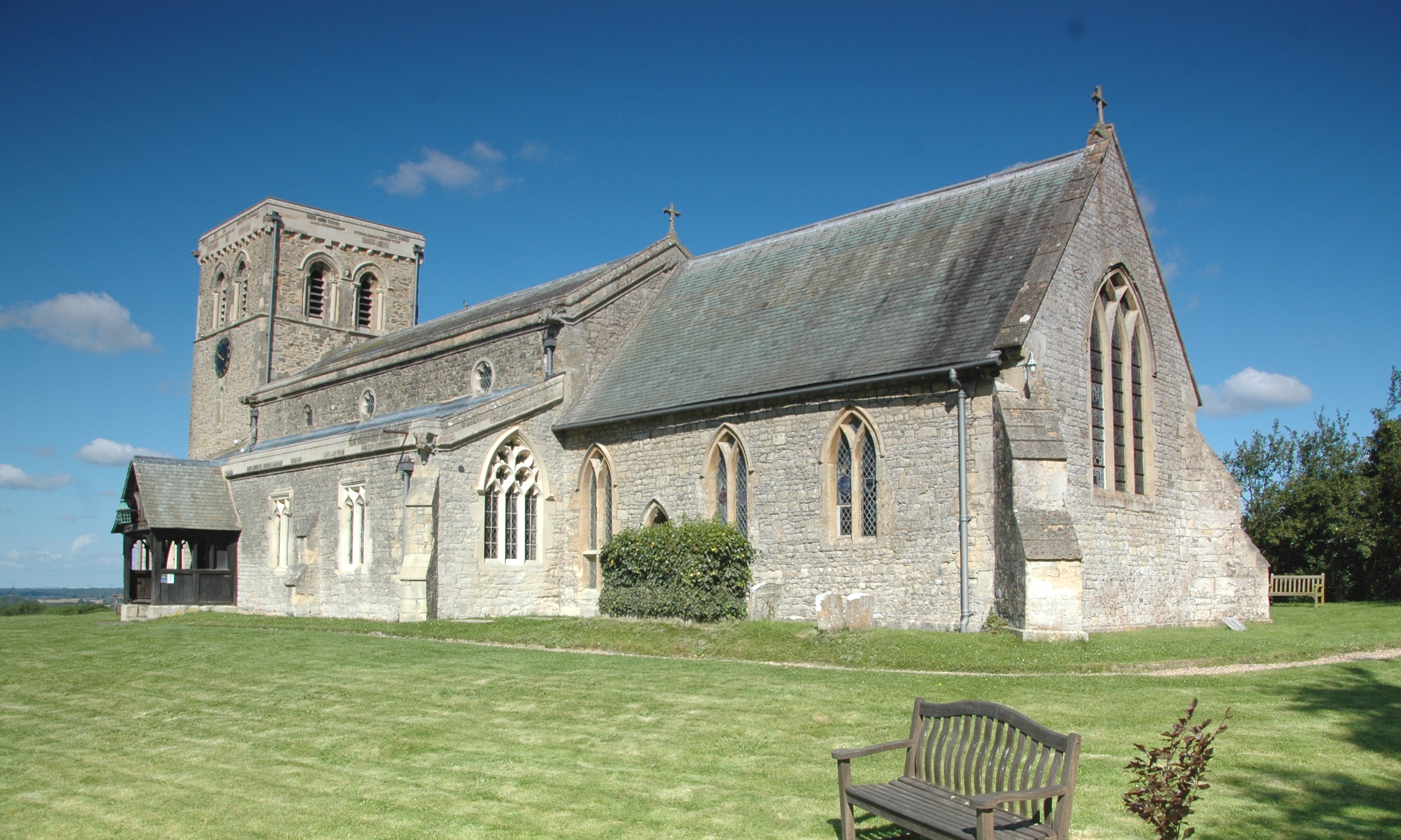
The parish church of St. Mary's, a beautiful medieval structure, is a prominent landmark in the village. It features stunning stained glass windows and intricate stone carvings. Garsington also boasts a village hall, primary school, and a few local businesses, including a pub and a post office.

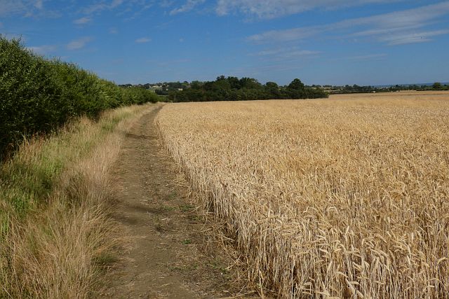
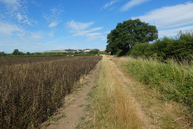
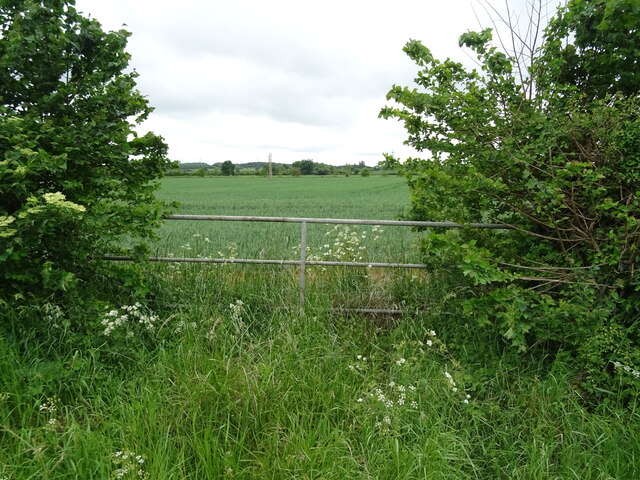
The surrounding countryside offers ample opportunities for outdoor activities and exploration. Footpaths and bridleways crisscross the area, making it an ideal location for walking, cycling, and horse riding. Several nature reserves are nearby, providing habitats for a variety of wildlife.

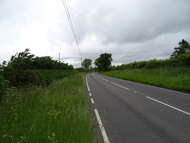
Garsington is well-connected by road, with the A40 and A4142 providing easy access to Oxford and the neighboring towns. The nearby Thornhill Park and Ride facility offers convenient public transportation options for commuters.

Overall, Garsington is a quaint and idyllic village, offering a peaceful and scenic escape from the bustling city life of Oxford.

If you have any feedback on the listing, please let us know in the comments section below.

Garsington Images

Images are sourced within 2km of 51.716133/-1.165969 or Grid Reference SP5702. Thanks to Geograph Open Source API. All images are credited.

Farmland, Garsington A footpath follows the edge of this field of wheat.
Farmland, Garsington
A footpath follows the edge of this field of wheat.
Farmland, Garsington A bridleway follows the edge of this field of beans on its way towards Great Leys.
Farmland, Garsington
A bridleway follows the edge of this field of beans on its way towards Great Leys.
Farmland, Garsington Harvesting had just commenced in this field of wheat to the south of the village.
Farmland, Garsington
Harvesting had just commenced in this field of wheat to the south of the village.
Farmland, Garsington Looking towards the church over a harvested field of oil-seed rape.
Farmland, Garsington
Looking towards the church over a harvested field of oil-seed rape.
Farmland, Garsington Looking down from the footpath to the west of Southend over oil-seed rape stubble.
Farmland, Garsington
Looking down from the footpath to the west of Southend over oil-seed rape stubble.
Farmland, Garsington A footpath through wheat drops down towards Denton with the church in Cuddesdon seen beyond.
Farmland, Garsington
A footpath through wheat drops down towards Denton with the church in Cuddesdon seen beyond.
Farmland, Denton A bridleway drops down through a field of wheat from the Garsington to Wheatley road.
Farmland, Denton
A bridleway drops down through a field of wheat from the Garsington to Wheatley road.
Parched field off the B480
Road to Lower Farm Off the B480.
Road to Lower Farm
Off the B480.
Bus stop on Lower Road (B480) Towards Oxford.
Bus stop on Lower Road (B480)
Towards Oxford.
Oilseed rape crop and hedgerow Off Watlington Road.
Oilseed rape crop and hedgerow
Off Watlington Road.
Oilseed rape crop off Watlington Road
Watlington Road (B480) Towards Oxford.
Watlington Road (B480)
Towards Oxford.
Fingerpost and footpath on the B480
Oilseed rape crop off Watlington Road
Watlington Road (B480) Towards Oxford.
Watlington Road (B480)
Towards Oxford.
Field entrance off Watlington Road (B480)
Watlington Road (B480) Towards Oxford.
Watlington Road (B480)
Towards Oxford.
Show me another place!

Garsington is located at Grid Ref: SP5702 (Lat: 51.716133, Lng: -1.165969)

Administrative County: Oxfordshire

District: South Oxfordshire

Police Authority: Thames Valley

What 3 Words

///rationed.relieves.tipping. Near Garsington, Oxfordshire

Nearby Locations

Garsington

Related Wikis

Garsington

Garsington is a village and civil parish about 8 kilometres (5 mi) southeast of Oxford in Oxfordshire. "A History of the County of Oxfordshire" provides...
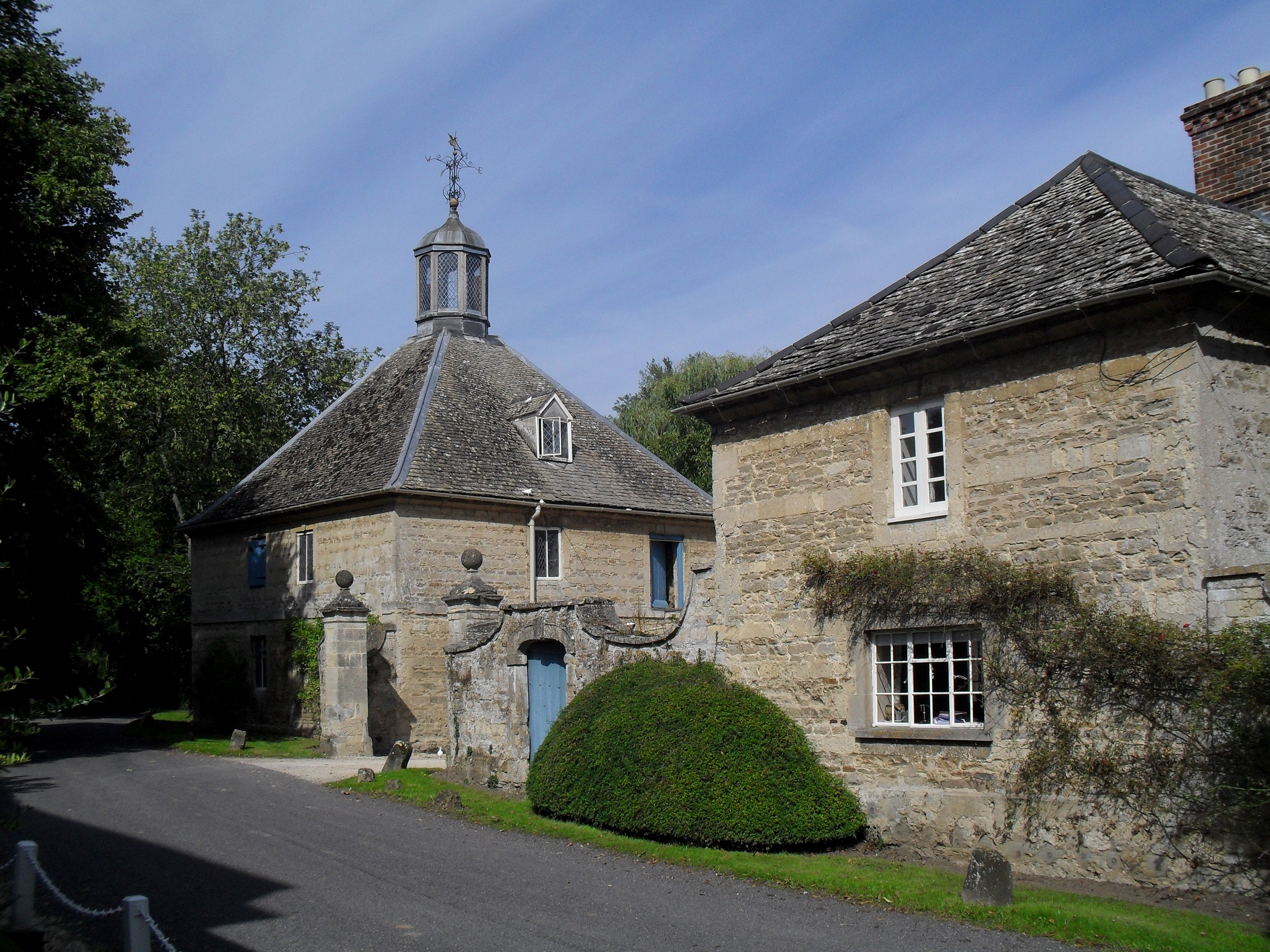
Garsington Manor

Garsington Manor, in the village of Garsington, near Oxford, England, is a country house, dating from the 17th century. Its fame derives principally from...
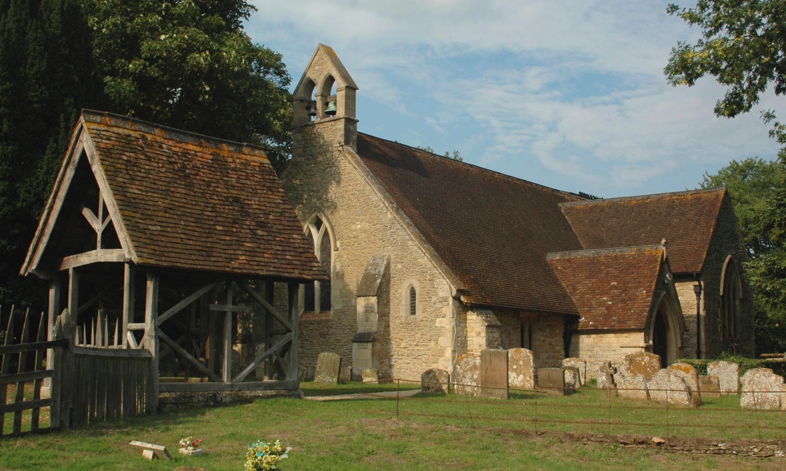
Denton, Oxfordshire

Denton is a hamlet and former civil parish, now in the parish of Cuddesdon and Denton, in the South Oxfordshire district, in Oxfordshire, England. Denton...
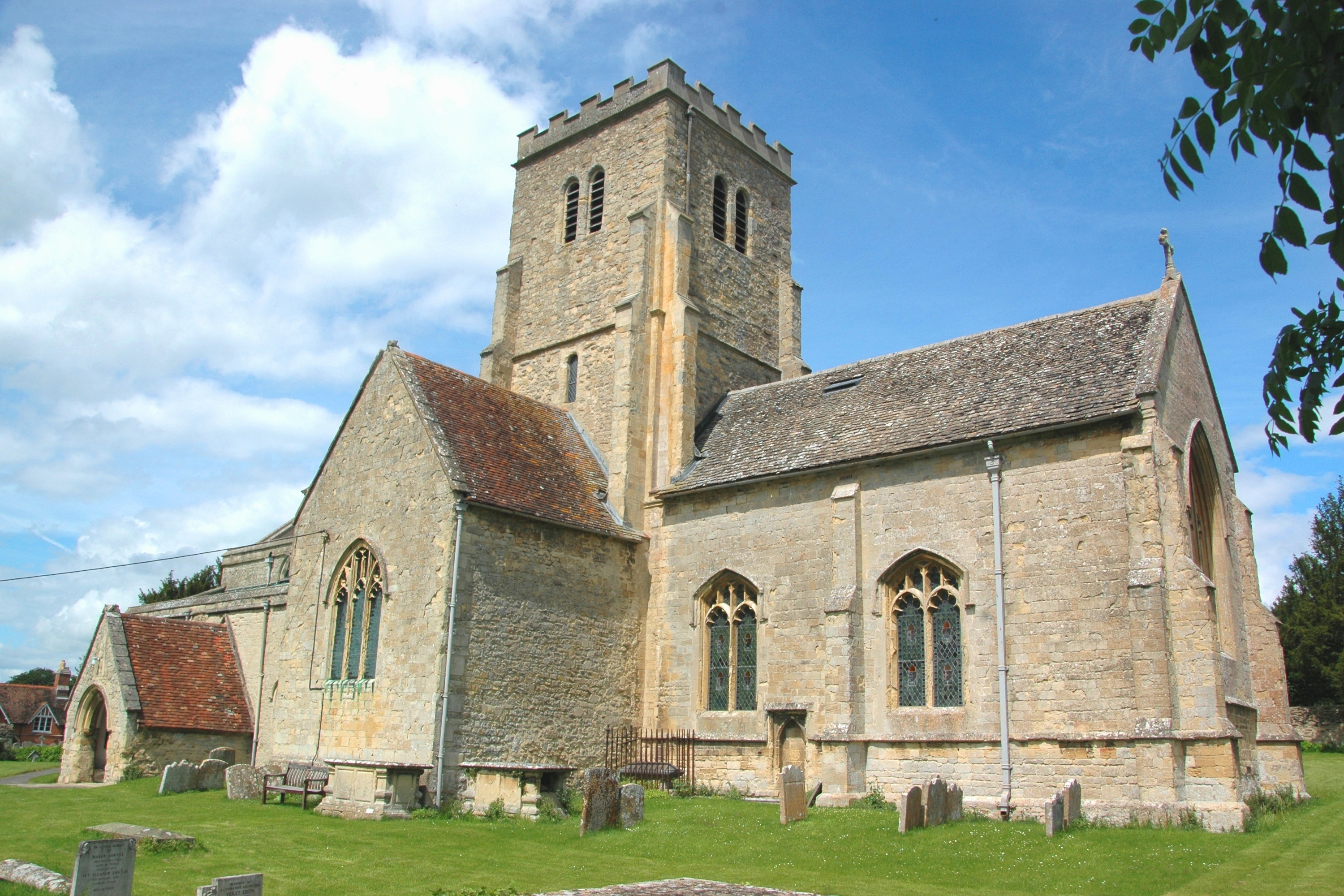
Toot Baldon

Toot Baldon is a village and civil parish about 5 miles (8 km) southeast of Oxford in Oxfordshire. Since 2012 it has been part of the Baldons joint parish...

Bishop Edward King Chapel

Bishop Edward King Chapel is the chapel of Ripon College Cuddesdon, a Church of England theological college near Oxford, and of the Sisters of the Communities...

Cuddesdon

Cuddesdon is a mainly rural village and former civil parish, now in the parish of Cuddesdon and Denton, in the South Oxfordshire district, in the county...

Waterstock House Training Centre

Waterstock House Training Centre (WHTC) is situated in the village of Waterstock in Oxfordshire, England. It is a well used venue for local and national...

Oxford Centre for Ecclesiology and Practical Theology

The Oxford Centre for Ecclesiology and Practical Theology (OxCEPT) is a research centre based at Ripon College Cuddesdon. == Overview == OxCEPT was founded...

Nearby Amenities

Located within 500m of 51.716133,-1.165969
Garsington
Is In: Oxfordshire, England, UK
Place: village
Lat/Long: 51.7162658/-1.160686
Parking
Source: photograph
Lat/Long: 51.7164532/-1.15932
Disused: amenity
Disused Amenity: pub
Disused Name: The Plough
Source: photograph
Wikidata: Q26650531
Lat/Long: 51.7158519/-1.1612134
Red Lion
Disused: amenity
Disused Amenity: pub
Source: photograph
Lat/Long: 51.7182553/-1.1629682
Created By: Potlatch 0.10f
Historic: memorial
Source: photograph
Lat/Long: 51.7168004/-1.1607042
Old Phone: +44 1685 361210
Removed Amenity: telephone
Source: photograph
Lat/Long: 51.717058/-1.1604597
Post Box
Post Box Type: lamp
Ref: OX44 355
Royal Cypher: EIIR
Source: photograph
Lat/Long: 51.7171324/-1.1604082
Pub
The Manor Bar
Source: photograph;local knowledge
Lat/Long: 51.7165203/-1.1597036
Barrier: kissing_gate
Lat/Long: 51.7144916/-1.1621134
Barrier: stile
Lat/Long: 51.7154126/-1.1635553
Barrier: stile
Lat/Long: 51.7188264/-1.1665079
Barrier: stile
Lat/Long: 51.7162793/-1.1640274
Barrier: stile
Lat/Long: 51.7187342/-1.1716022
Barrier: stile
Lat/Long: 51.7178631/-1.1625786
Barrier: stile
Lat/Long: 51.7144651/-1.1709128
Barrier: kissing_gate
Lat/Long: 51.7192934/-1.1685078
Barrier: stile
Ele: 81.597046
Lat/Long: 51.7185383/-1.167804
Barrier: stile
Lat/Long: 51.7185436/-1.1677525
Barrier: stile
Lat/Long: 51.718676/-1.1705481
Barrier: stile
Lat/Long: 51.7191021/-1.1631537
Bus Stop
Fox Close
Bus: yes
Local Ref: adj
Naptan AtcoCode: 340003275OPP
Naptan Bearing: SE
Naptan CommonName: Red Lion PH
Naptan Indicator: Opposite
Naptan Landmark: Red Lion PH
Naptan NaptanCode: oxfawpgm
Naptan Street: Oxford Road
Note: no route info -- just "Thames Travel" logo
Public Transport: platform
Source: naptan_import;survey
Lat/Long: 51.7182566/-1.1627245
Barrier: stile
Lat/Long: 51.7139493/-1.17202
Bus Stop
Village Hall
Bus: yes
Local Ref: opp
Naptan AtcoCode: 340000335PH
Naptan Bearing: NW
Naptan CommonName: The Plough PH
Naptan Indicator: Outside
Naptan Landmark: The Plough PH
Naptan NaptanCode: oxfamawp
Naptan Street: Crossroads
Public Transport: platform
Route Ref: 101;104
Shelter: yes
Source: naptan_import;survey
Lat/Long: 51.7159519/-1.1611291
Bus Stop
Village Hall
Bus: yes
Local Ref: o/s
Naptan AtcoCode: 340000335SCH
Naptan Bearing: SE
Naptan BusStopType: CUS
Naptan CommonName: The Plough PH
Naptan Indicator: Opposite
Naptan Landmark: The Plough PH
Naptan NaptanCode: oxfamawm
Naptan Street: Crossroads
Public Transport: platform
Source: naptan_import
Lat/Long: 51.7162879/-1.1611787
Bus Stop
Oxford Road
Bus: yes
Local Ref: E-bound
Naptan AtcoCode: 340003274EAS
Naptan Bearing: E
Naptan BusStopType: CUS
Naptan CommonName: Oxford Road
Naptan Indicator: Eastbound
Naptan Landmark: Outside No 83
Naptan NaptanCode: oxfawpgp
Naptan Street: Oxford Road
Public Transport: platform
Source: naptan_import
Lat/Long: 51.7199207/-1.1671168
Bus Stop
Oxford Road
Bus: yes
Naptan AtcoCode: 340003274WES
Naptan Bearing: W
Naptan CommonName: Oxford Road
Naptan Indicator: Westbound
Naptan Landmark: Outside No 68
Naptan NaptanCode: oxfawpgt
Naptan Street: Oxford Road
Public Transport: platform
Source: naptan_import
Lat/Long: 51.7198409/-1.1671168
Bus Stop
Fox Close
Bus: yes
Local Ref: opp
Naptan AtcoCode: 340003275OUT
Naptan Bearing: NW
Naptan CommonName: Red Lion PH
Naptan Indicator: Outside
Naptan Landmark: Red Lion PH
Naptan NaptanCode: oxfawpgj
Naptan Street: Oxford Road
Naptan Verified: no
Note: no route info -- just "Thames Travel" logo
Public Transport: platform
Source: naptan_import;survey
Lat/Long: 51.7183399/-1.1629483
Barrier: stile
Lat/Long: 51.7125745/-1.1651638
Direction: 170
Generator Method: photovoltaic
Generator Output Electricity: yes
Generator Solar Modules: 14
Generator Source: solar
Generator Type: solar_photovoltaic_panel
Location: roof
Power: generator
Lat/Long: 51.7175669/-1.15921
Direction: 170
Generator Method: photovoltaic
Generator Output Electricity: yes
Generator Solar Modules: 9
Generator Source: solar
Generator Type: solar_photovoltaic_panel
Location: roof
Power: generator
Lat/Long: 51.7175569/-1.1593103
Direction: 170
Generator Method: photovoltaic
Generator Output Electricity: yes
Generator Solar Modules: 15
Generator Source: solar
Generator Type: solar_photovoltaic_panel
Location: roof
Power: generator
Lat/Long: 51.7175143/-1.1595235
Direction: 170
Generator Method: photovoltaic
Generator Output Electricity: yes
Generator Solar Modules: 15
Generator Source: solar
Generator Type: solar_photovoltaic_panel
Location: roof
Power: generator
Lat/Long: 51.7174993/-1.159648
Direction: 80
Generator Method: photovoltaic
Generator Output Electricity: yes
Generator Solar Modules: 8
Generator Source: solar
Generator Type: solar_photovoltaic_panel
Location: roof
Power: generator
Lat/Long: 51.7174614/-1.1597083
Direction: 190
Generator Method: photovoltaic
Generator Output Electricity: yes
Generator Solar Modules: 6
Generator Source: solar
Generator Type: solar_photovoltaic_panel
Location: roof
Power: generator
Lat/Long: 51.717256/-1.1599007
Fixme: solar panel?
Lat/Long: 51.7187697/-1.1639185
Direction: 195
Generator Method: photovoltaic
Generator Output Electricity: yes
Generator Solar Modules: 12
Generator Source: solar
Generator Type: solar_photovoltaic_panel
Location: roof
Power: generator
Lat/Long: 51.7200664/-1.1679599
Fixme: solar panel?
Lat/Long: 51.7200443/-1.167824
Direction: 270
Generator Method: photovoltaic
Generator Output Electricity: yes
Generator Solar Modules: 8
Generator Source: solar
Generator Type: solar_photovoltaic_panel
Location: roof
Power: generator
Lat/Long: 51.7201976/-1.168157
Direction: 90
Generator Method: photovoltaic
Generator Output Electricity: yes
Generator Solar Modules: 12
Generator Source: solar
Generator Type: solar_photovoltaic_panel
Location: roof
Power: generator
Lat/Long: 51.7203609/-1.1676549
Direction: 90
Generator Method: photovoltaic
Generator Output Electricity: yes
Generator Solar Modules: 12
Generator Source: solar
Generator Type: solar_photovoltaic_panel
Location: roof
Power: generator
Lat/Long: 51.72041/-1.1676549
Power: pole
Lat/Long: 51.7122274/-1.1691008
The data included in this document is from www.openstreetmap.org. The data is made available under ODbL.

Have you been to Garsington?

Leave your review of Garsington below (or comments, questions and feedback).