Brock's Watering

Settlement in Norfolk South Norfolk

England

Brock's Watering

Church of St Michael, Aslacton <span class="nowrap"><a title="https://historicengland.org.uk/listing/the-list/list-entry/1170344?section=official-list-entry" rel="nofollow ugc noopener" href="https://historicengland.org.uk/listing/the-list/list-entry/1170344?section=official-list-entry">Link</a><img style="margin-left:2px;" alt="External link" title="External link - shift click to open in new window" src="https://s1.geograph.org.uk/img/external.png" width="10" height="10"/></span>
Church of St Michael, Aslacton Credit: Sandy Gerrard

Brock's Watering is a small village located in the county of Norfolk, England. Situated approximately 12 miles northeast of the city of Norwich, the village is nestled amidst the picturesque Norfolk countryside. The name "Brock's Watering" is thought to have originated from the Old English word "broc," meaning badger, and the term "watering," which refers to a place where animals gather to drink water.

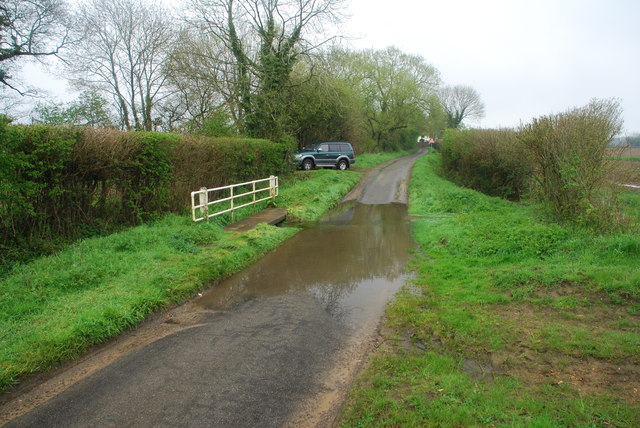
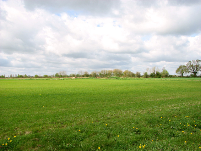
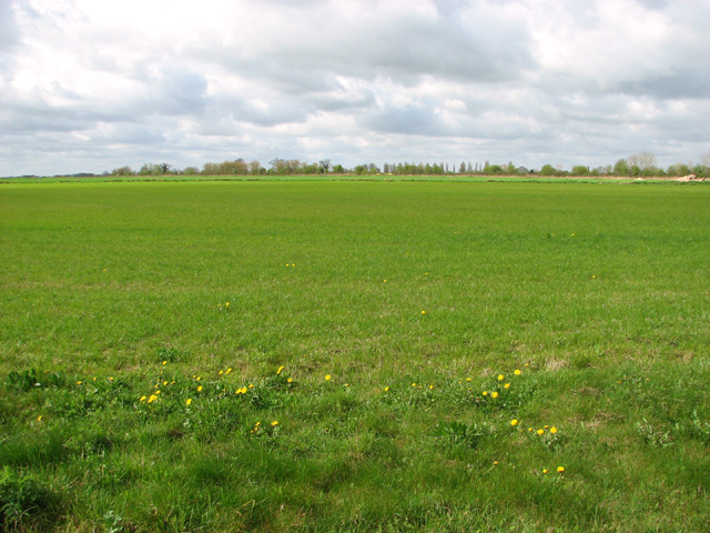
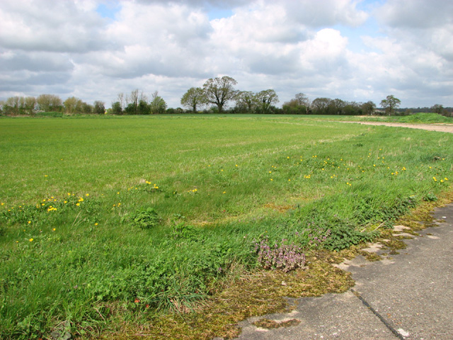
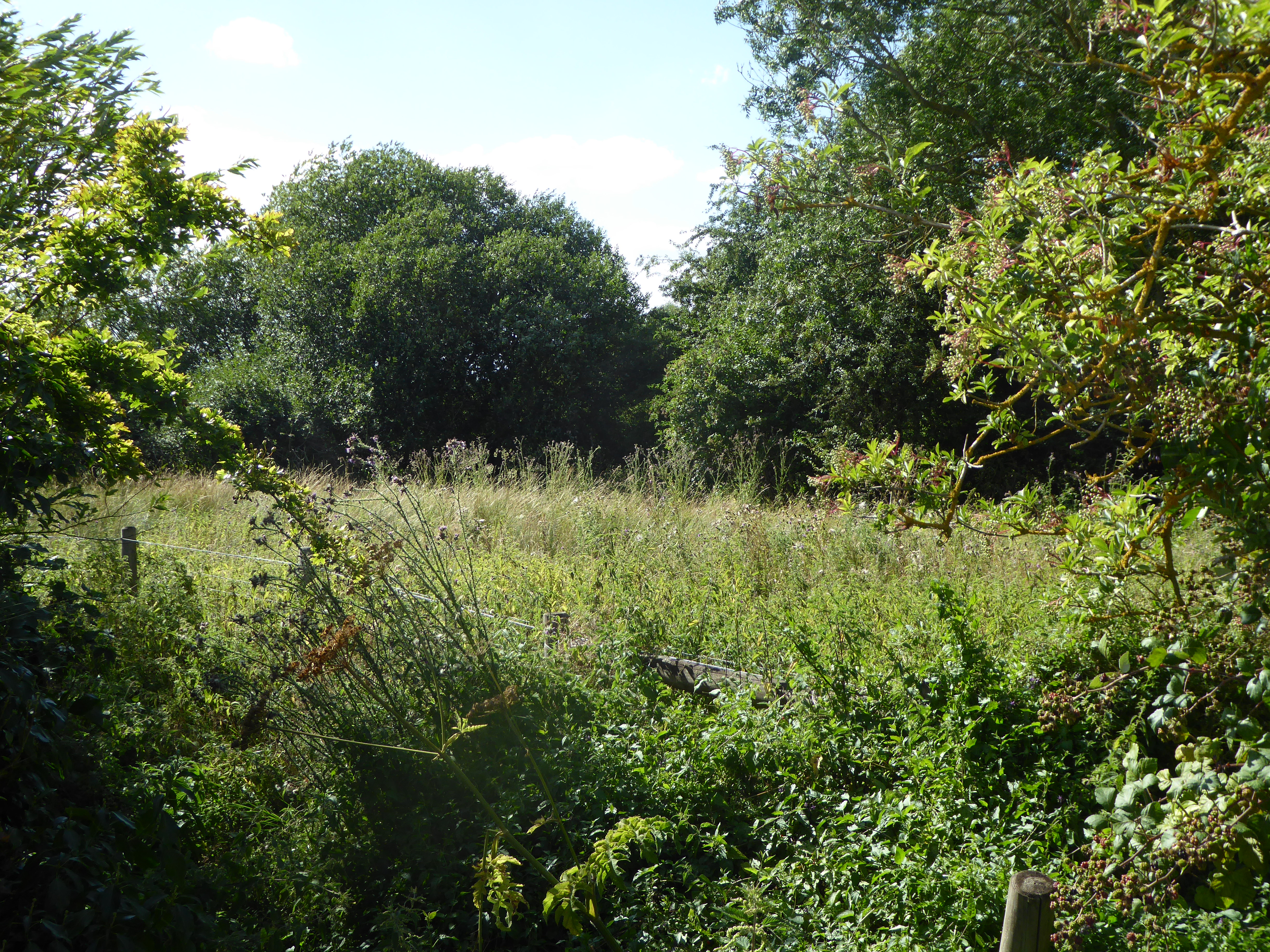
The village is known for its tranquil and idyllic setting, characterized by rolling hills, lush green fields, and meandering streams. It is a popular destination for nature enthusiasts and those seeking a peaceful retreat from the bustling city life. The surrounding countryside provides ample opportunities for outdoor activities such as hiking, cycling, and birdwatching.

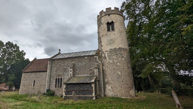
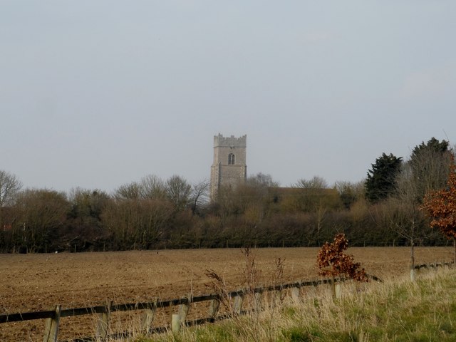
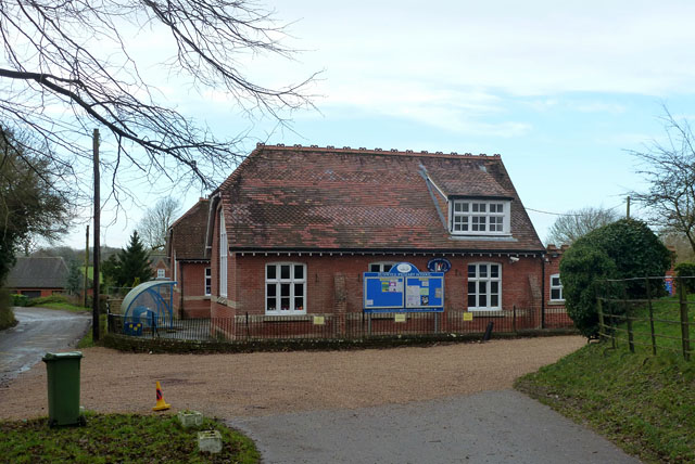
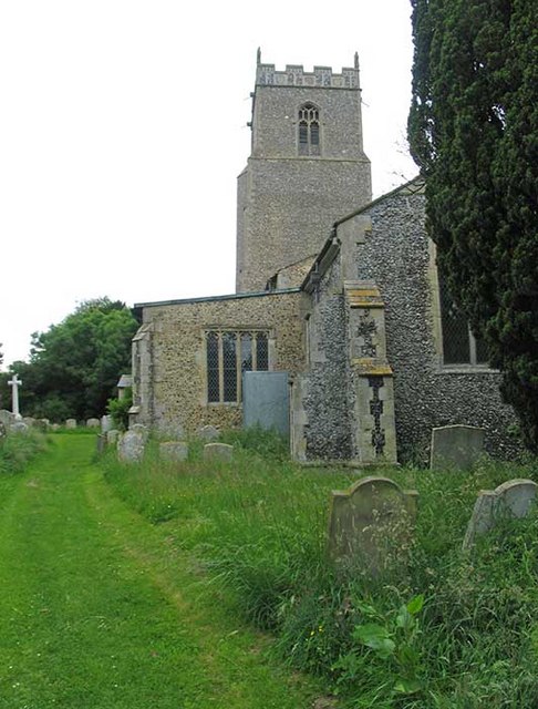
Brock's Watering is home to a close-knit community, with a population of around 300 residents. The village boasts a charming parish church, St. Mary's, which dates back to the 12th century and is an important historical landmark in the area. Additionally, there is a village hall that serves as a hub for various community events and gatherings.

While the village itself is relatively small, nearby towns and villages offer a range of amenities including shops, schools, and healthcare facilities. The village is well-connected to other parts of Norfolk via a network of roads, making it easily accessible.

Overall, Brock's Watering is a quaint and picturesque village that offers a peaceful and rural way of life, allowing residents and visitors to connect with nature and enjoy the beauty of the Norfolk countryside.

If you have any feedback on the listing, please let us know in the comments section below.

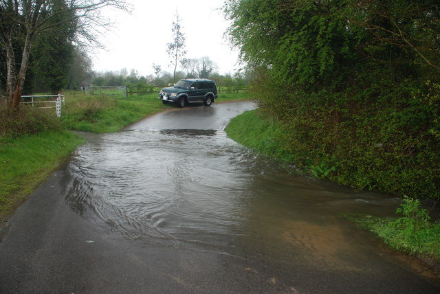
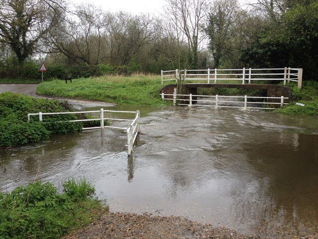
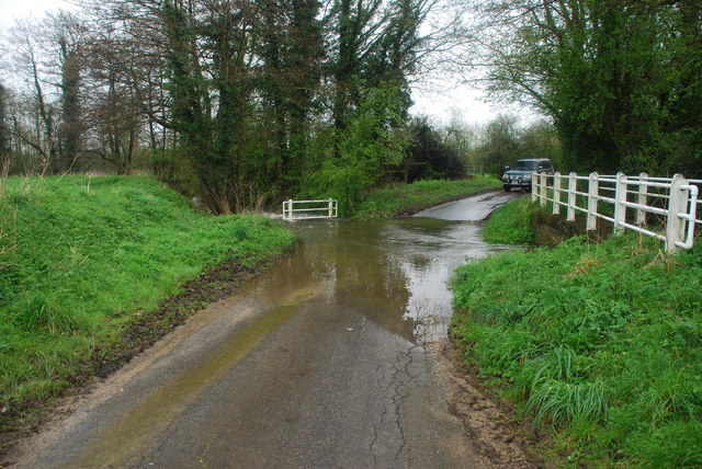
Brock's Watering Images

Images are sourced within 2km of 52.483932/1.1502182 or Grid Reference TM1492. Thanks to Geograph Open Source API. All images are credited.

Church of St Michael, Aslacton <span class="nowrap"><a title="https://historicengland.org.uk/listing/the-list/list-entry/1170344?section=official-list-entry" rel="nofollow ugc noopener" href="https://historicengland.org.uk/listing/the-list/list-entry/1170344?section=official-list-entry">Link</a><img style="margin-left:2px;" alt="External link" title="External link - shift click to open in new window" src="https://s1.geograph.org.uk/img/external.png" width="10" height="10"/></span>
Church of St Michael, Aslacton
Gilderswood Lane, west from Forncett St Peter Some maps omit the 'Lane', but it is included on its nameplate at the east end.
Gilderswood Lane, west from Forncett St Peter
Some maps omit the 'Lane', but it is included on its nameplate at the east end.
Gilderswood Lane, west from Forncett St Peter Some maps omit the 'Lane', but it is included on its nameplate at the east end.
Gilderswood Lane, west from Forncett St Peter
Some maps omit the 'Lane', but it is included on its nameplate at the east end.
Low Common Lane Towards Bunwell Hill.
Low Common Lane
Towards Bunwell Hill.
Bunwell Hill The name of the road as well as the settlement.
Bunwell Hill
The name of the road as well as the settlement.
Ford at Pottergate Street This ford is found on Bunwell Road and is shown in full flood following heavy April rain.
Ford at Pottergate Street
This ford is found on Bunwell Road and is shown in full flood following heavy April rain.
Aslacton Ford This ford, in full flood following heavy April rain, is found on the junction of Bunwell Road and Steeple Lane just north of Aslacton.
Aslacton Ford
This ford, in full flood following heavy April rain, is found on the junction of Bunwell Road and Steeple Lane just north of Aslacton.
Gower's Farm Ford This ford on the River Tas is found on Hall Road on the way to Bunwell Hill. The ford is in flood following heavy April rain.
Gower's Farm Ford
This ford on the River Tas is found on Hall Road on the way to Bunwell Hill. The ford is in flood following heavy April rain.
Ford at Brock's Watering This ford is found on the Forncett Road just south of Brock's Watering.
Ford at Brock's Watering
This ford is found on the Forncett Road just south of Brock's Watering.
Bunwell Ford This ford is found on Barham's Lane just south of Bunwell.
Bunwell Ford
This ford is found on Barham's Lane just south of Bunwell.
Church of St Michael and All Angels, Bunwell
The Jolly Farmers pub Looks like it is made out of lego.
The Jolly Farmers pub
Looks like it is made out of lego.
Bunwell Primary School A plaque on the wall commemorates the school centenary: 1879 - 1979.
Bunwell Primary School
A plaque on the wall commemorates the school centenary: 1879 - 1979.
Cereal crop near Tibenham
Cereal crop on the old Tibenham airfield This part of the old aerodrome has long since been returned to agriculture.
Cereal crop on the old Tibenham airfield
This part of the old aerodrome has long since been returned to agriculture.
The end of a runway This is the northern end of the runway at Tibenham airfield.   This part of the old aerodrome has long since been returned to agriculture. Tibenham is an ex-WWII airfield (constructed in 1942/43), located in South Norfolk, approx 7.5 miles from Diss and 15 miles from Norwich. The airfield is currently owned by the Norfolk Gliding Club and consists of three tarmac runways as well as plenty of landable grass areas.
The end of a runway
This is the northern end of the runway at Tibenham airfield. This part of the old aerodrome has long since been returned to agriculture. Tibenham is an ex-WWII airfield (constructed in 1942/43), located in South Norfolk, approx 7.5 miles from Diss and 15 miles from Norwich. The airfield is currently owned by the Norfolk Gliding Club and consists of three tarmac runways as well as plenty of landable grass areas.
The former Tibenham aerodrome View across the northern end of the runway at Tibenham airfield. This part of the old aerodrome has long since been returned to agriculture. Tibenham is an ex-WWII airfield (constructed in 1942/43), located in South Norfolk, approx 7.5 miles from Diss and 15 miles from Norwich. The airfield is currently owned by the Norfolk Gliding Club and consists of three tarmac runways as well as plenty of landable grass areas.
The former Tibenham aerodrome
View across the northern end of the runway at Tibenham airfield. This part of the old aerodrome has long since been returned to agriculture. Tibenham is an ex-WWII airfield (constructed in 1942/43), located in South Norfolk, approx 7.5 miles from Diss and 15 miles from Norwich. The airfield is currently owned by the Norfolk Gliding Club and consists of three tarmac runways as well as plenty of landable grass areas.
Footpath skirting the northern edge of Tibenham aerodrome This part of the old aerodrome has long since been returned to agriculture. Tibenham is an ex-WWII airfield (constructed in 1942/43), located in South Norfolk, approx 7.5 miles from Diss and 15 miles from Norwich. The airfield is currently owned by the Norfolk Gliding Club and consists of three tarmac runways as well as plenty of landable grass areas.
Footpath skirting the northern edge of Tibenham aerodrome
This part of the old aerodrome has long since been returned to agriculture. Tibenham is an ex-WWII airfield (constructed in 1942/43), located in South Norfolk, approx 7.5 miles from Diss and 15 miles from Norwich. The airfield is currently owned by the Norfolk Gliding Club and consists of three tarmac runways as well as plenty of landable grass areas.
Show me another place!

Brock's Watering is located at Grid Ref: TM1492 (Lat: 52.483932, Lng: 1.1502182)

Administrative County: Norfolk

District: South Norfolk

Police Authority: Norfolk

What 3 Words

///flopping.appetite.clearly. Near Long Stratton, Norfolk

Nearby Locations

Brock's Watering

Related Wikis

Aslacton Parish Land

Aslacton Parish Land is a 4.4-hectare (11-acre) biological Site of Special Scientific Interest west of Long Stratton in Norfolk.This site has wet and dry...

Aslacton

Aslacton is a village and civil parish in the English county of Norfolk. It is situated between Norwich and Diss, and is near Great Moulton. The closest...

Tibenham, Norfolk

Tibenham is a village and civil parish located in the Depwade district of South Norfolk, England. The parish is 2 miles (3.2 km) north west of Tivetshall...
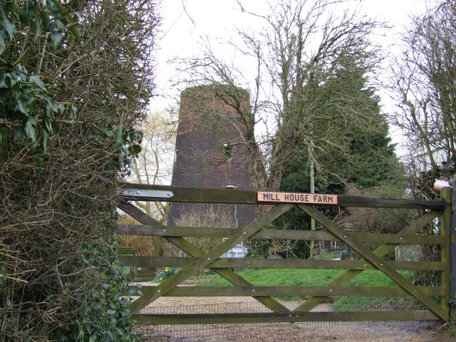
Aslacton Windmill

Aslacton Mill is a Grade II listed tower mill at Aslacton, Norfolk, England which is derelict. == History == Aslacton Mill was probably built in 1834,...

Nearby Amenities

Located within 500m of 52.483932,1.1502182
Quakers Farm
Place: farm
Source: OS 1:25k
Lat/Long: 52.4818389/1.1453881
Orchard Farm
Place: farm
Source: OS 1:25k
Lat/Long: 52.485131/1.150149
Fixme: How does the path cross the fence here?
Lat/Long: 52.4853227/1.1495265
Power: pole
Lat/Long: 52.4803455/1.1536378
Power: pole
Lat/Long: 52.4835194/1.156615
Power: pole
Lat/Long: 52.4821587/1.1543995
Power: pole
Lat/Long: 52.4820754/1.1557379
Power: pole
Lat/Long: 52.4822731/1.1529297
Power: pole
Lat/Long: 52.4821081/1.1550727
Power: pole
Lat/Long: 52.4826782/1.1546302
Power: pole
Lat/Long: 52.4836893/1.1575752
Power: pole
Lat/Long: 52.4837546/1.1512908
Power: pole
Lat/Long: 52.4833969/1.1517012
Power: pole
Lat/Long: 52.4826733/1.1525139
Power: pole
Lat/Long: 52.4830359/1.1521062
Power: pole
Lat/Long: 52.4856265/1.1563441
Location Transition: yes
Power: pole
Lat/Long: 52.4863403/1.1552551
Location Transition: yes
Power: pole
Lat/Long: 52.486718/1.1552237
Power: pole
Lat/Long: 52.4871324/1.1525595
Power: pole
Lat/Long: 52.4869234/1.1539248
Location Transition: yes
Power: pole
Lat/Long: 52.4872222/1.1548126
Power: pole
Lat/Long: 52.4873578/1.1510146
Power: pole
Lat/Long: 52.4875881/1.1494642
Power: pole
Lat/Long: 52.4878739/1.1475894
Power: pole
Lat/Long: 52.4817646/1.1531563
Power: pole
Lat/Long: 52.4822171/1.1537128
Barrier: kissing_gate
Bicycle: no
Foot: yes
Lat/Long: 52.48222/1.1438018
Give Way
Lat/Long: 52.4819668/1.1447691
Give Way
Lat/Long: 52.4819349/1.1449525
Give Way
Lat/Long: 52.4818744/1.1448791
Passing Place
Lat/Long: 52.4865519/1.1551247
The data included in this document is from www.openstreetmap.org. The data is made available under ODbL.

Have you been to Brock's Watering?

Leave your review of Brock's Watering below (or comments, questions and feedback).