Brockleymoor
Settlement in Cumberland Eden
England
Brockleymoor

Brockleymoor is a small village located in the county of Cumberland in northwest England. Nestled amidst picturesque countryside, it is known for its tranquil and idyllic setting. The village is situated approximately 10 miles southeast of the town of Carlisle.
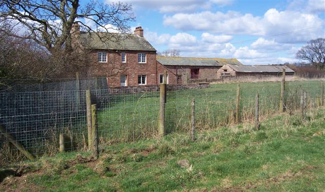
Brockleymoor is characterized by its charming stone cottages, which date back to the 19th century. The village is surrounded by lush green fields, rolling hills, and dense woodlands, making it an ideal destination for those seeking a peaceful retreat or scenic walks.
The village is home to a close-knit community, with a population of around 200 residents. It boasts a local pub, The Brockleymoor Inn, which serves as a gathering place for both locals and visitors alike. The inn offers traditional pub fare and a selection of locally brewed ales.
Despite its small size, Brockleymoor is conveniently located near several amenities. The nearby town of Carlisle provides access to a range of shops, supermarkets, healthcare facilities, and educational institutions.
Nature enthusiasts will find plenty to explore in the surrounding area. The nearby North Pennines Area of Outstanding Natural Beauty offers breathtaking landscapes, including rolling moorlands, deep valleys, and cascading waterfalls. Additionally, the Lake District National Park is within close proximity, allowing residents and tourists to enjoy hiking, boating, and other outdoor activities.
In summary, Brockleymoor is a charming village in Cumberland, offering a peaceful and scenic environment for its residents and visitors.
If you have any feedback on the listing, please let us know in the comments section below.
Brockleymoor Images
Images are sourced within 2km of 54.724535/-2.78949 or Grid Reference NY4936. Thanks to Geograph Open Source API. All images are credited.


Brockleymoor is located at Grid Ref: NY4936 (Lat: 54.724535, Lng: -2.78949)
Administrative County: Cumbria
District: Eden
Police Authority: Cumbria
What 3 Words
///example.escape.shipwreck. Near Penrith, Cumbria
Nearby Locations
Related Wikis

Brockleymoor
Brockleymoor was a hamlet in Cumbria, England, but it is now part of the village of Plumpton. It is located several miles north of Penrith, not far from...

Plumpton railway station (Cumbria)
Plumpton railway station in Hesket parish in what is now Cumbria but was then Cumberland in the north west of England, was situated on the Lancaster and...

Plumpton, Cumbria
Plumpton or Plumpton Wall is a small village and former civil parish, in the parish of Hesket, in the Westmorland and Furness district, in the traditional...

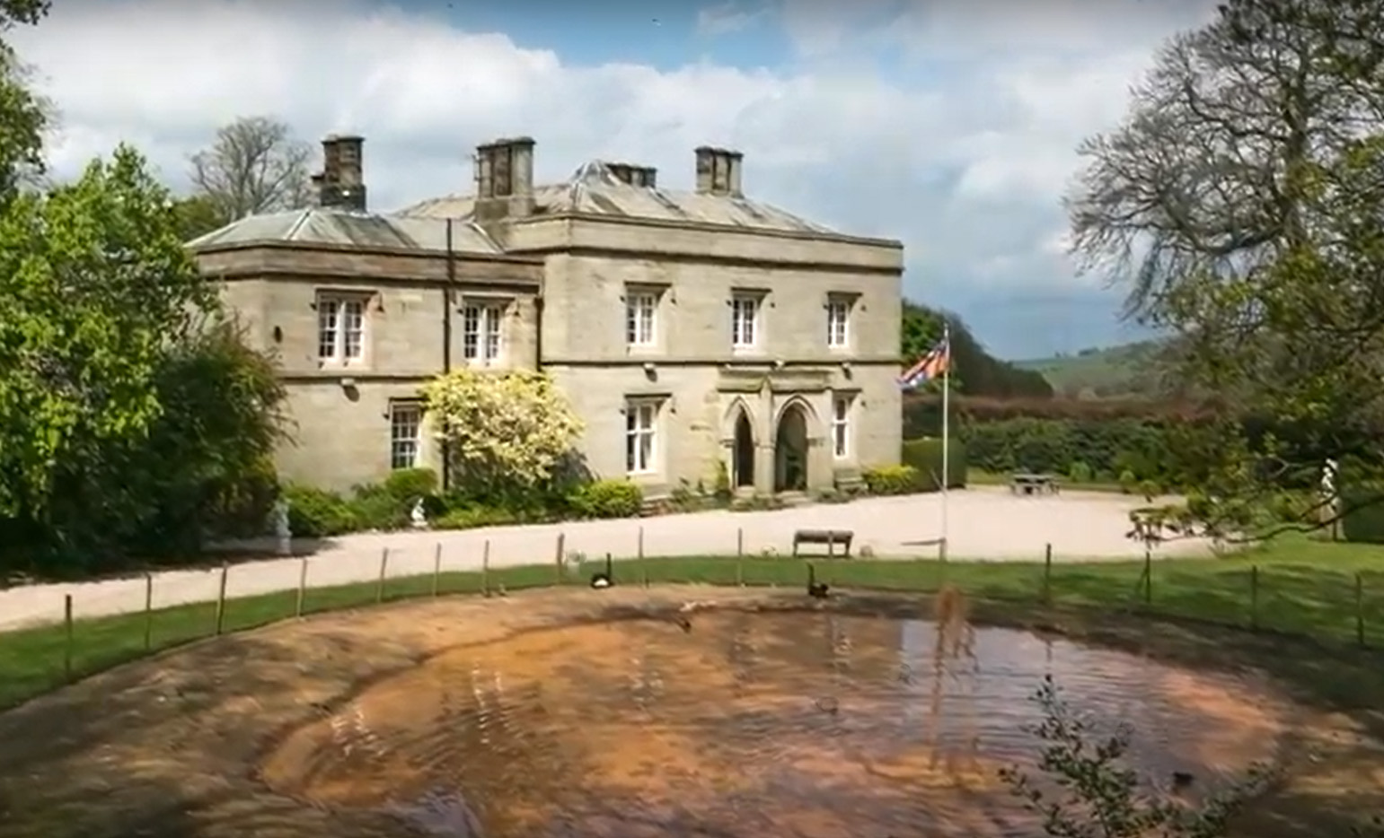
Hutton in the Forest
Hutton in the Forest is a Grade I listed country house near the village of Skelton in the historic county of Cumberland, which now forms part of the modern...

Unthank End
Unthank End is a hamlet in Cumbria, England. == See also == Listed buildings in Skelton, Cumbria == References == UK Coal Board The geographic coordinates...
Calthwaite railway station
Calthwaite railway station in Hesket parish, was situated on the Lancaster and Carlisle Railway (the West Coast Main Line) between Carlisle and Penrith...
Calthwaite Hall
Calthwaite Hall, near Penrith in Cumbria, England, is a house of historical significance and is Grade II listed on the National Heritage List for England...

Calthwaite
Calthwaite is a small village in rural Cumbria, England, situated between the small market town of Penrith and the larger city of Carlisle. It is within...
Nearby Amenities
Located within 500m of 54.724535,-2.78949Have you been to Brockleymoor?
Leave your review of Brockleymoor below (or comments, questions and feedback).