Fring
Civil Parish in Norfolk King's Lynn and West Norfolk
England
Fring
Fring is a civil parish located in the county of Norfolk, England. It is situated approximately 4 miles east of the market town of King's Lynn and covers an area of about 4.5 square miles. The parish is bordered by the villages of Snettisham to the west, Ingoldisthorpe to the north, and Shernborne to the south.
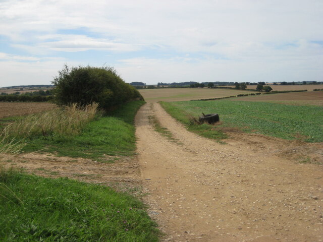
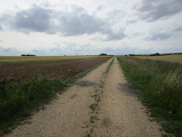
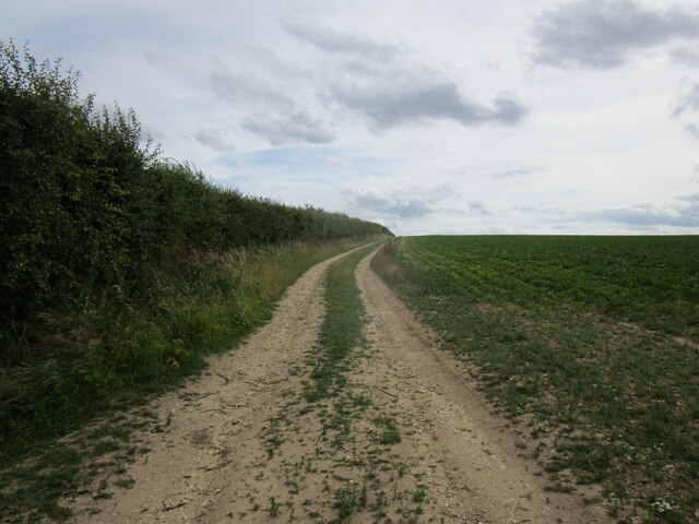
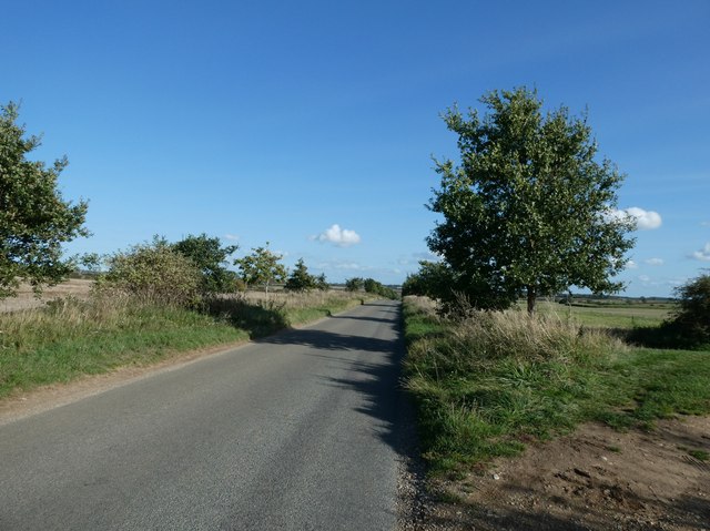
Fring is a small, rural community with a population of around 150 residents. The parish comprises mostly of agricultural land, with picturesque landscapes of fields, meadows, and woodland. The area is known for its natural beauty and is popular among walkers and nature enthusiasts.
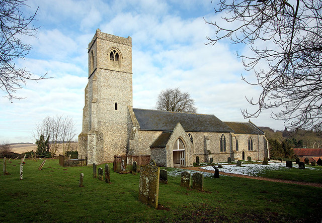
The village itself is characterized by its traditional Norfolk architecture, with a mix of quaint cottages and larger farmhouses. The village church, St. Mary's, is a notable feature of Fring, dating back to the 14th century. It is a Grade I listed building and showcases impressive medieval architecture.
Despite its small size, Fring has a strong sense of community and hosts various events throughout the year, including fairs, festivals, and charity fundraisers. The village also has a small primary school, providing education for local children.
In terms of amenities, Fring has limited facilities, with no shops or pubs within the parish boundaries. However, with its close proximity to King's Lynn, residents have easy access to a wider range of services and amenities.
If you have any feedback on the listing, please let us know in the comments section below.
Fring Images
Images are sourced within 2km of 52.880259/0.588445 or Grid Reference TF7434. Thanks to Geograph Open Source API. All images are credited.


Fring is located at Grid Ref: TF7434 (Lat: 52.880259, Lng: 0.588445)
Administrative County: Norfolk
District: King's Lynn and West Norfolk
Police Authority: Norfolk
What 3 Words
///loans.fast.commutes. Near Snettisham, Norfolk
Nearby Locations
Related Wikis
Fring, Norfolk
Fring is a civil parish in the English county of Norfolk. It covers an area of 6.93 km2 (2.68 sq mi) and had a population of 94 in 41 households at the...

Great Bircham Windmill
Great Bircham Windmill is a Grade II listed tower mill in Great Bircham, Norfolk, England. == History == The earliest record of a windmill in Great Bircham...

Bircham Newton
Bircham Newton is the smallest of the three villages that make up the civil parish of Bircham, in the west of the English county of Norfolk. The village...
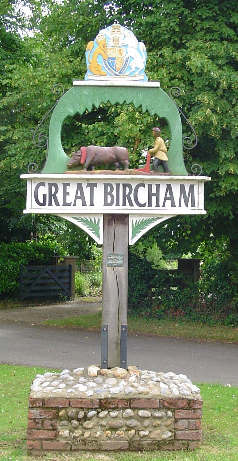
Great Bircham
Great Bircham is the largest of the three villages that make up the civil parish of Bircham, in the west of the English county of Norfolk. The village...

St Mary the Virgin's Church, Great Bircham
St Mary's Church, Great Bircham dates from the 12th-century, and is a Grade I listed parish church in the Church of England Diocese of Norwich in Great...

Docking, Norfolk
Docking is a village and ancient civil parish in the north-west of the English county of Norfolk. It is near the North Norfolk Coast Site of Special Scientific...

Bircham
Bircham is a civil parish in the English county of Norfolk. It includes the three villages of Great Bircham, Bircham Newton and Bircham Tofts. The parish...
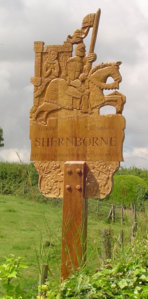
Shernborne
Shernborne is a civil parish in the English county of Norfolk. It covers an area of 5.63 km2 (2.17 sq mi) and had a population of 59 in 24 households at...
Nearby Amenities
Located within 500m of 52.880259,0.588445Have you been to Fring?
Leave your review of Fring below (or comments, questions and feedback).