Frettenham
Civil Parish in Norfolk Broadland
England
Frettenham
Frettenham is a civil parish located in the English county of Norfolk. It is situated approximately 8 miles north-east of the city of Norwich and covers an area of around 7 square miles. The parish is bordered by the parishes of Horstead with Stanninghall to the west, Spixworth to the south, and Hainford to the east.
The village of Frettenham itself is a small, rural settlement with a population of around 600 people. It is characterized by its picturesque surroundings, with rolling countryside, farmland, and a number of small woodlands. The village is predominantly residential, with a mix of traditional brick and flint cottages, as well as newer housing developments.
The parish has a rich history, with evidence of human settlement dating back to the Roman period. The village features a Grade II listed church, St. Swithin's, which dates back to the 14th century and is known for its impressive tower. Frettenham also has a village hall, a primary school, and a local pub, providing amenities for its residents.
The local economy is primarily based on agriculture, with many residents working in farming or related industries. However, due to its proximity to Norwich, many residents also commute to the city for employment opportunities.
Frettenham is a quiet and peaceful village, offering a rural lifestyle while still being within easy reach of the amenities and services of Norwich. It is popular with those seeking a slower pace of life and a close-knit community.
If you have any feedback on the listing, please let us know in the comments section below.
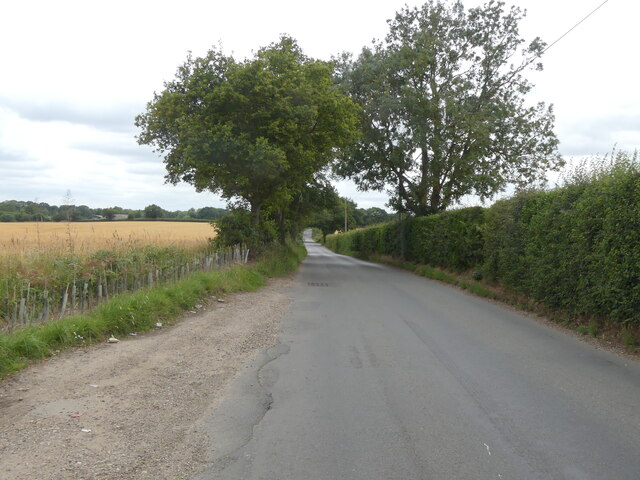
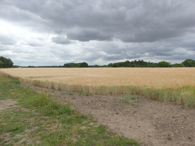
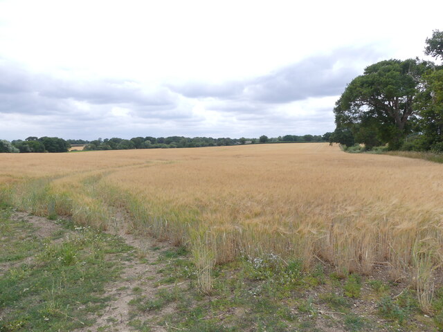
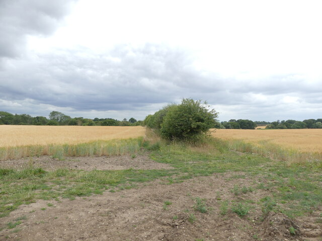
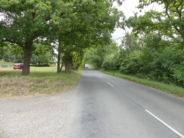
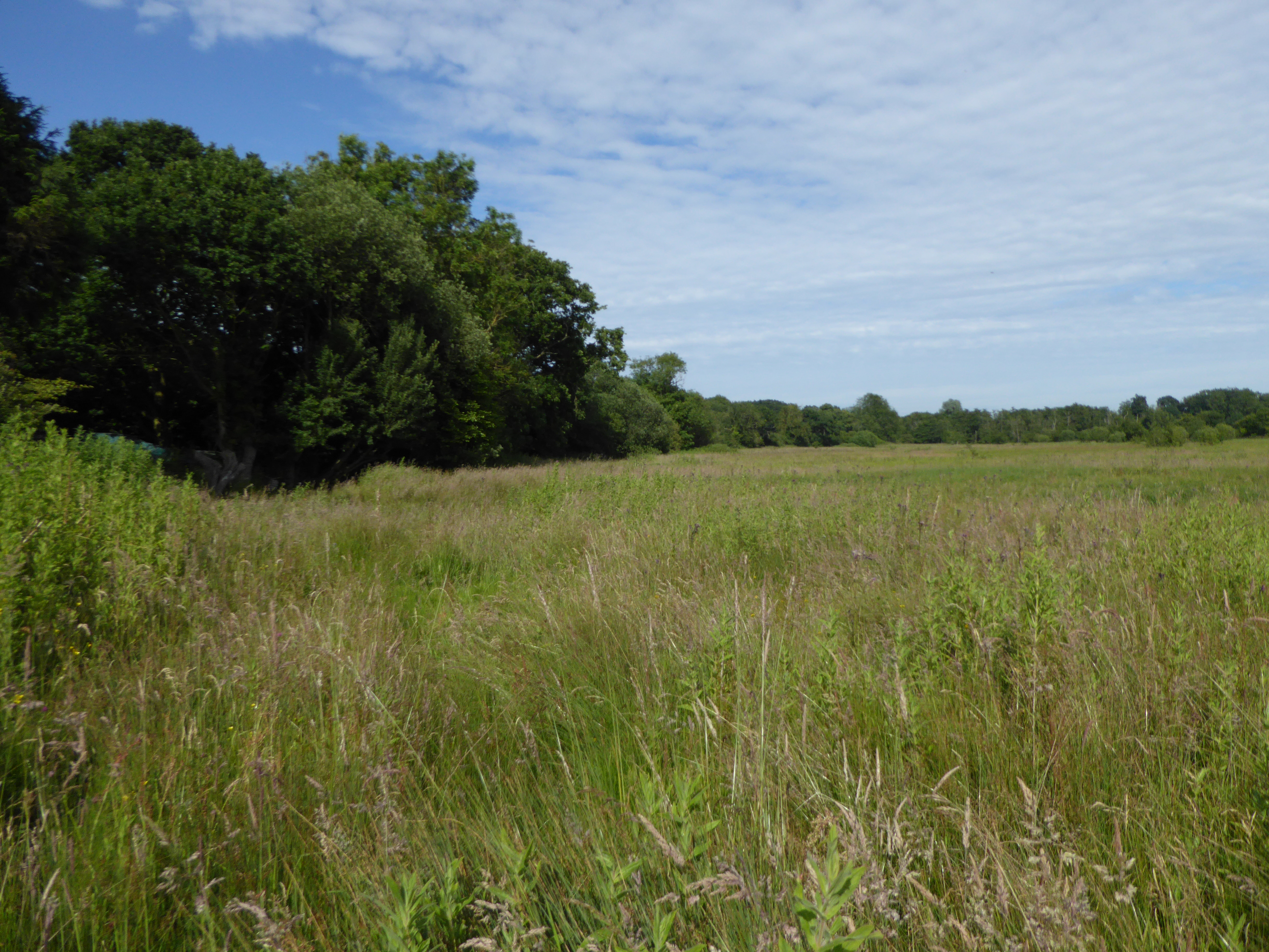
Frettenham Images
Images are sourced within 2km of 52.715335/1.322717 or Grid Reference TG2418. Thanks to Geograph Open Source API. All images are credited.


Frettenham is located at Grid Ref: TG2418 (Lat: 52.715335, Lng: 1.322717)
Administrative County: Norfolk
District: Broadland
Police Authority: Norfolk
What 3 Words
///fussy.banks.scrubbing. Near Coltishall, Norfolk
Nearby Locations
Related Wikis

Frettenham Windmill
Frettenham Mill is a Grade II listed tower mill at Frettenham, Norfolk, England which has been converted to residential accommodation. == History == Frettenham...

Frettenham
Frettenham is a village and civil parish in the English county of Norfolk. It is located 3.2 miles (5.1 km) west of Wroxham, and 5.7 miles (9.2 km) north...

Hillside Animal Sanctuary
Hillside Animal Sanctuary, based in Frettenham, Norwich, and with a site at West Runton, North Norfolk, is the United Kingdom's largest home for different...

Hainford
Hainford (originally Haynford) is a village and civil parish in the English county of Norfolk. It covers an area of 6.94 km2 (2.68 sq mi) and had a population...
Horstead with Stanninghall
Horstead with Stanninghall is a civil parish in the English county of Norfolk which is also known as 'The Gateway of The Broads' consisting of the former...

Crostwick
Crostwick is a village in the English county of Norfolk. The village is part of the civil parish of Horstead with Stanninghall. Crostwick is located 2...
Crostwick Marsh
Crostwick Marsh is an 11.6-hectare (29-acre) biological Site of Special Scientific Interest in Crostwick, north of Norwich in Norfolk. It is part of the...

Horstead Hall
Horstead Hall was a country house in Norfolk that was demolished in the 1950s. The village of Horstead in the county of Norfolk is not short of country...
Nearby Amenities
Located within 500m of 52.715335,1.322717Have you been to Frettenham?
Leave your review of Frettenham below (or comments, questions and feedback).