Freethorpe
Civil Parish in Norfolk Broadland
England
Freethorpe
Freethorpe is a civil parish located in the county of Norfolk, England. It is situated on the eastern bank of the River Yare, approximately 10 miles southeast of Norwich, the county town. The parish covers an area of around 8.5 square miles and has a population of around 1,500 people.
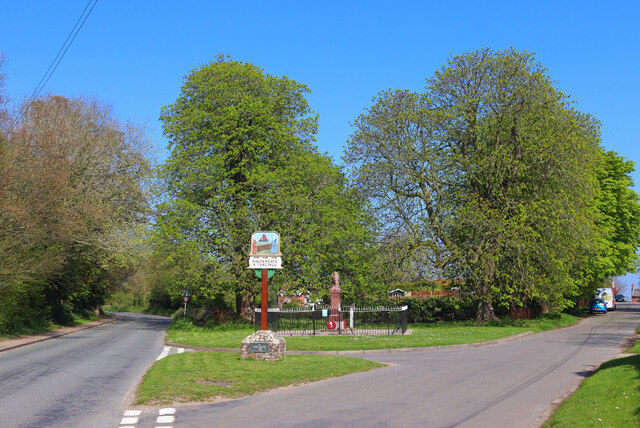
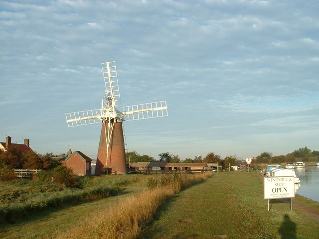
The village of Freethorpe has a rich history dating back to the medieval period. It is mentioned in the Domesday Book of 1086 and was originally an agricultural settlement. Today, it still retains much of its rural charm, with picturesque landscapes and traditional architecture.
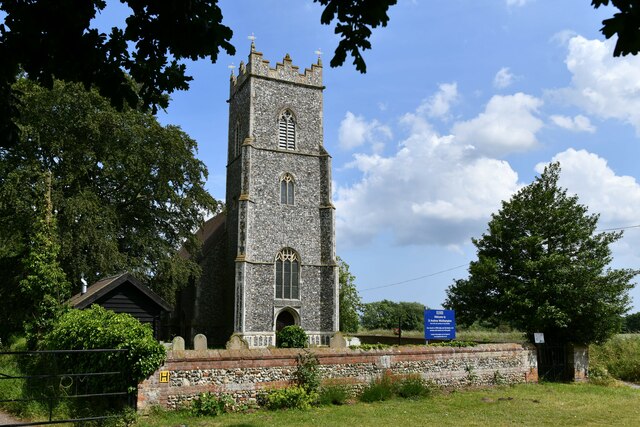
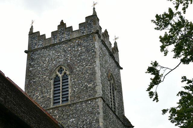
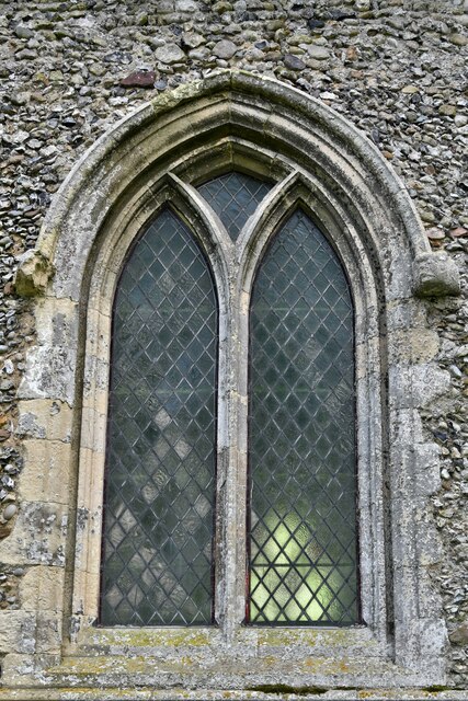
The heart of the village is centered around Church Road, where the Grade II listed All Saints Church stands. This historic church dates back to the 13th century and features a 15th-century tower. It serves as a focal point for the local community and holds regular services and events.
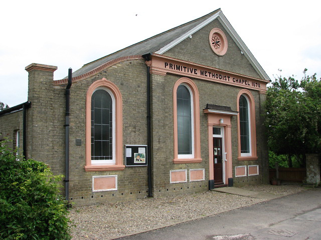
Freethorpe is also known for its vibrant community spirit and offers a range of amenities for its residents. These include a primary school, a village hall, a recreation ground, and a pub. The village hall hosts various activities and events, fostering a sense of belonging and togetherness among the locals.
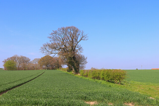
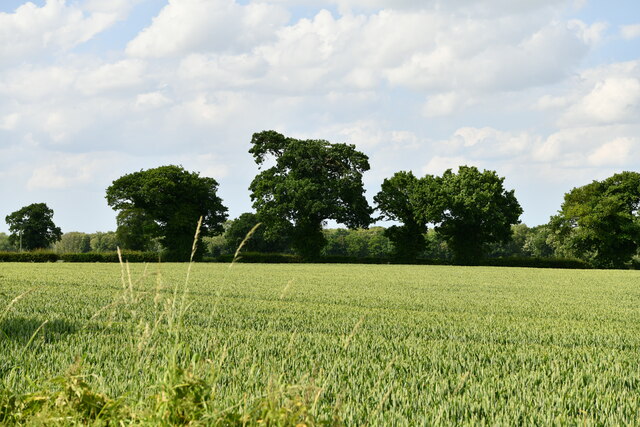
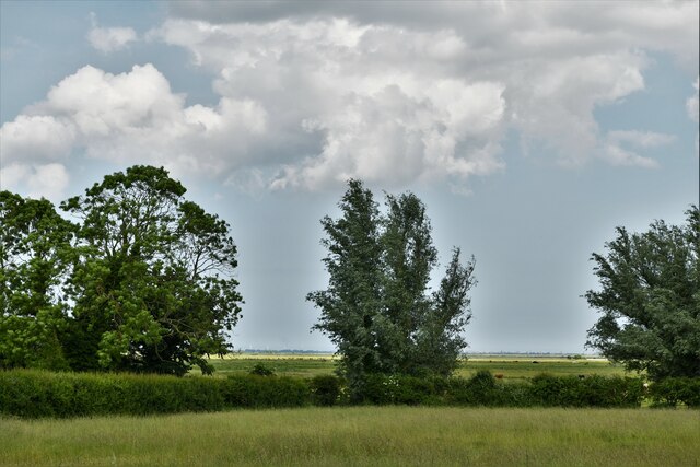
The surrounding countryside provides ample opportunities for outdoor activities, such as walking, cycling, and birdwatching. The nearby River Yare offers boating and fishing opportunities for both locals and visitors alike.
Overall, Freethorpe is a charming and welcoming civil parish that combines its historical roots with a thriving community spirit and access to the beautiful Norfolk countryside.
If you have any feedback on the listing, please let us know in the comments section below.
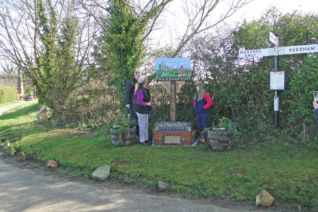
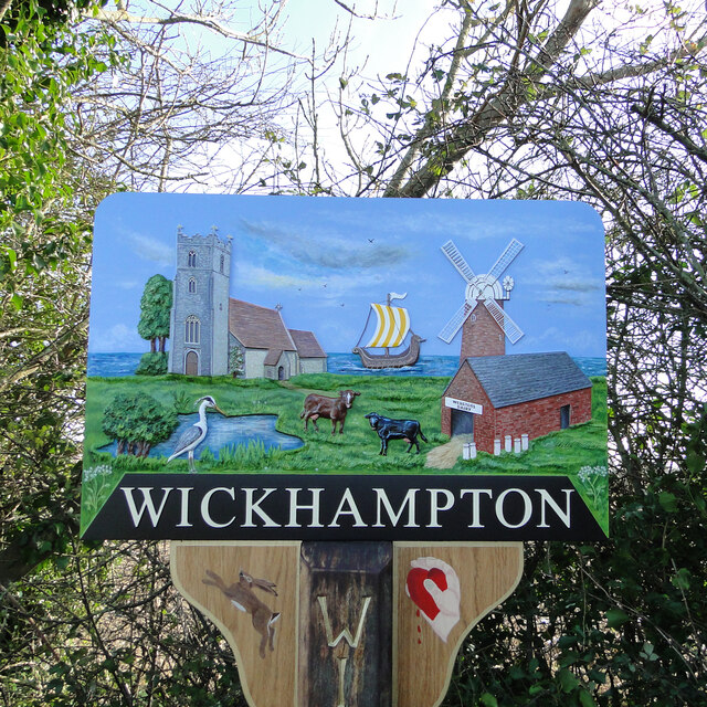
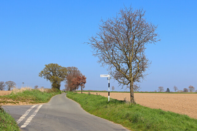
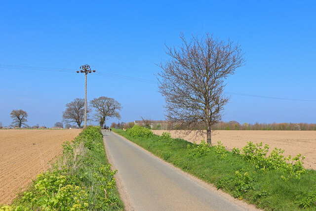
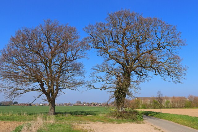
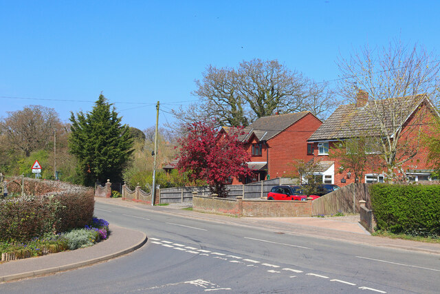
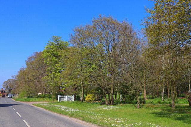
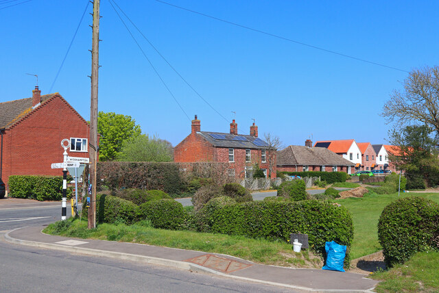
Freethorpe Images
Images are sourced within 2km of 52.591121/1.557177 or Grid Reference TG4105. Thanks to Geograph Open Source API. All images are credited.


Freethorpe is located at Grid Ref: TG4105 (Lat: 52.591121, Lng: 1.557177)
Administrative County: Norfolk
District: Broadland
Police Authority: Norfolk
What 3 Words
///steered.margin.haircuts. Near Reedham, Norfolk
Nearby Locations
Related Wikis

Freethorpe
Freethorpe is a village and civil parish in the English of Norfolk. The village is located 7.2 miles (11.6 km) south-west of Great Yarmouth and 11 miles...

Southwood, Norfolk
Southwood is a hamlet and former civil parish, 10 miles (16 km) east of Norwich, now in the parish of Cantley, Limpenhoe and Southwood, in the Broadland...

St Mary's Church, Moulton
St Mary's Church is a redundant Anglican round-tower church near the village of Moulton St Mary, Norfolk, England. It is recorded in the National Heritage...

Limpenhoe
Limpenhoe is a village and former civil parish, now in the Cantley, Limpenhoe and Southwood, in the Broadland district, in the county of Norfolk, England...
Halvergate
Halvergate is a village and civil parish in the English county of Norfolk, north of Reedham, between the Rivers Bure and Yare, within The Broads. To the...

Limpenhoe Meadows
Limpenhoe Meadows is a 12-hectare (30-acre) biological Site of Special Scientific Interest west of Reedham in Norfolk. It is part of the Broadland Ramsar...
Moulton St Mary
Moulton St Mary is a village and former civil parish, now in the parish of Beighton, in the Broadland district, in the county of Norfolk, England. It is...
Tunstall, Norfolk
Tunstall is a village and former civil parish, now in the parish of Halvergate, in the Broadland district of Norfolk, England. It lies some 14 miles (22...
Nearby Amenities
Located within 500m of 52.591121,1.557177Have you been to Freethorpe?
Leave your review of Freethorpe below (or comments, questions and feedback).