Fowlmere

Civil Parish in Cambridgeshire South Cambridgeshire

England

Fowlmere

Former RAF Fowlmere from the air Only 4Km west of RAF Duxford, this <span class="nowrap"><a title="http://en.wikipedia.org/wiki/RAF_Fowlmere" rel="nofollow ugc noopener" href="http://en.wikipedia.org/wiki/RAF_Fowlmere">Link</a><img style="margin-left:2px;" alt="External link" title="External link - shift click to open in new window" src="https://s1.geograph.org.uk/img/external.png" width="10" height="10"/></span> to the Wikipedia article about the base provides more information.
Former RAF Fowlmere from the air Credit: Thomas Nugent

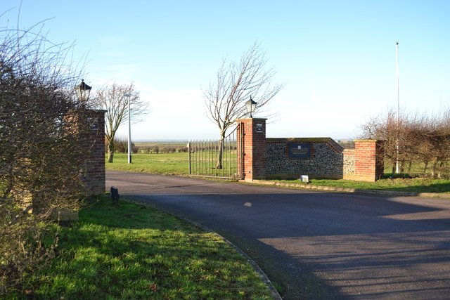
Fowlmere is a civil parish located in the county of Cambridgeshire, England. It is situated approximately 10 miles south-west of the city of Cambridge and covers an area of about 7 square miles. The village of Fowlmere itself is small, with a population of around 1,000 people, and is known for its picturesque countryside and charming rural atmosphere.

The main feature of Fowlmere is its nature reserve, which covers an area of about 200 acres. The reserve is managed by the Royal Society for the Protection of Birds (RSPB) and is home to a wide variety of bird species, making it a popular destination for birdwatchers and nature enthusiasts. The reserve consists of a mix of habitats, including reed beds, wet meadows, and open water, providing a diverse range of ecosystems for wildlife.

In addition to its natural beauty, Fowlmere is also known for its historical significance. The village has a rich history dating back to the medieval period, and there are several listed buildings and historic sites in the area. One notable landmark is the parish church of St. Mary, which dates back to the 13th century and features a beautiful Norman tower.

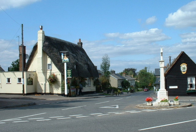
Fowlmere is a close-knit community with a strong sense of community spirit. The village has a primary school, a village hall, and a local pub, which serves as a popular meeting place for residents. The parish hosts various events and activities throughout the year, including a summer fete and a Christmas market, further fostering a sense of community. Overall, Fowlmere offers a peaceful and idyllic setting for those seeking a rural retreat in the heart of Cambridgeshire.

If you have any feedback on the listing, please let us know in the comments section below.
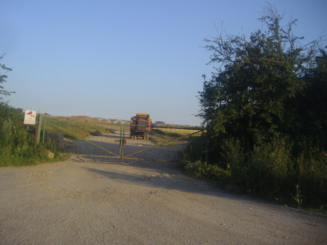
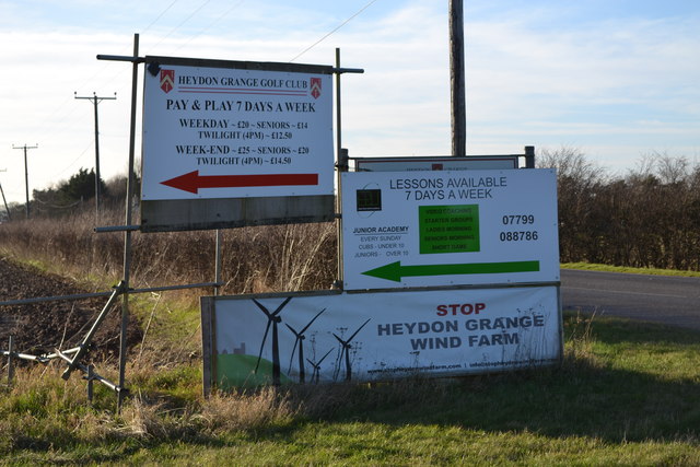
Fowlmere Images

Images are sourced within 2km of 52.082526/0.071318 or Grid Reference TL4244. Thanks to Geograph Open Source API. All images are credited.

Former RAF Fowlmere from the air Only 4Km west of RAF Duxford, this <span class="nowrap"><a title="http://en.wikipedia.org/wiki/RAF_Fowlmere" rel="nofollow ugc noopener" href="http://en.wikipedia.org/wiki/RAF_Fowlmere">Link</a><img style="margin-left:2px;" alt="External link" title="External link - shift click to open in new window" src="https://s1.geograph.org.uk/img/external.png" width="10" height="10"/></span> to the Wikipedia article about the base provides more information.
Former RAF Fowlmere from the air
Only 4Km west of RAF Duxford, this LinkExternal link to the Wikipedia article about the base provides more information.
Memorial of Fowlmere The memorial standing to remind you of those who died in the war that lived in FOWLMERE
Memorial of Fowlmere
The memorial standing to remind you of those who died in the war that lived in FOWLMERE
Fowlmere from the air Fowlmere is at the bottom of the photo. Foxton and the chalk quarry at Barrington can be seen in the distance.
Fowlmere from the air
Fowlmere is at the bottom of the photo. Foxton and the chalk quarry at Barrington can be seen in the distance.
Former RAF Fowlmere from the air Only 4Km west of RAF Duxford, this <span class="nowrap"><a title="http://en.wikipedia.org/wiki/RAF_Fowlmere" rel="nofollow ugc noopener" href="http://en.wikipedia.org/wiki/RAF_Fowlmere">Link</a><img style="margin-left:2px;" alt="External link" title="External link - shift click to open in new window" src="https://s1.geograph.org.uk/img/external.png" width="10" height="10"/></span> to the Wikipedia article about the base provides more information.

See also <a href="https://www.geograph.org.uk/photo/2468528">TL4145 : Former RAF Fowlmere from the air</a>.
Former RAF Fowlmere from the air
Only 4Km west of RAF Duxford, this LinkExternal link to the Wikipedia article about the base provides more information. See also TL4145 : Former RAF Fowlmere from the air.
Fowlmere High Street in March The north transept and porch of the parish church of St Mary are on the right. This was yet another of the bright and exceptionally warm days in the remarkable early spring of 2012.
Fowlmere High Street in March
The north transept and porch of the parish church of St Mary are on the right. This was yet another of the bright and exceptionally warm days in the remarkable early spring of 2012.
Fowlmere: St Mary "A sizeable cruciform church of flint and pebble rubble, much restored in 1869" (Nikolaus Pevsner). Unusually there is no south aisle. Towers with lead-covered spikes are standard issue in this part of Cambridgeshire (see, for instance, Thriplow and Haslingfield). The picture was taken from the gate at the south-western corner of the churchyard on a bright March morning.
Fowlmere: St Mary
"A sizeable cruciform church of flint and pebble rubble, much restored in 1869" (Nikolaus Pevsner). Unusually there is no south aisle. Towers with lead-covered spikes are standard issue in this part of Cambridgeshire (see, for instance, Thriplow and Haslingfield). The picture was taken from the gate at the south-western corner of the churchyard on a bright March morning.
Fowlmere in spring A view along the High Street towards St Mary's Church on one of the many bright and warm days in the remarkable early spring of 2012.
Fowlmere in spring
A view along the High Street towards St Mary's Church on one of the many bright and warm days in the remarkable early spring of 2012.
Entrance to quarry on the A505, Flint Cross I'm guessing by the name it is a flint quarry.
Entrance to quarry on the A505, Flint Cross
I'm guessing by the name it is a flint quarry.
Soggy Christmas in Fowlmere View of experimental plots on Manor Farm, Fowlmere. Picture taken at midday on Christmas Day 2012 at end of long wet year.
Soggy Christmas in Fowlmere
View of experimental plots on Manor Farm, Fowlmere. Picture taken at midday on Christmas Day 2012 at end of long wet year.
Fowlmere Christmas Day 2012 View from Manor Farm Road towards URC chapel.Looking very wet at end of long wet year.The road in the middle of the picture is the B1368.
Fowlmere Christmas Day 2012
View from Manor Farm Road towards URC chapel.Looking very wet at end of long wet year.The road in the middle of the picture is the B1368.
Signs at junction of A505 and Heydon Road The windfarm proposal has met with much opposition.
Signs at junction of A505 and Heydon Road
The windfarm proposal has met with much opposition.
Junction of A505 and Heydon road
View from Heydon Grange Golf Club Looking down the third hole on the Cambridgeshire course. The big building in the distance is the hangar at Fowlmere Aerodrome. To its right are some buildings on Manor Farm.
View from Heydon Grange Golf Club
Looking down the third hole on the Cambridgeshire course. The big building in the distance is the hangar at Fowlmere Aerodrome. To its right are some buildings on Manor Farm.
Heydon Grange Golf Club This is the entrance/exit at Heydon Grange taken from the drive. Fowlmere Road is beyond the gates.
Heydon Grange Golf Club
This is the entrance/exit at Heydon Grange taken from the drive. Fowlmere Road is beyond the gates.
Heydon Grange Golf Club Entrance to the golf club from Fowlmere Road.
Heydon Grange Golf Club
Entrance to the golf club from Fowlmere Road.
Heydon Grange Golf Club Plaque on entrance wall.
Heydon Grange Golf Club
Plaque on entrance wall.
Water pumping station This pumping station is on Chrishall Road near Fowlmere and belongs to the Cambridge Water Company. The water is pumped from the chalk aquifer underlying this area.
Water pumping station
This pumping station is on Chrishall Road near Fowlmere and belongs to the Cambridge Water Company. The water is pumped from the chalk aquifer underlying this area.
Fowlmere village hall Village hall viewed across its playing fields.
Fowlmere village hall
Village hall viewed across its playing fields.
Show me another place!

Fowlmere is located at Grid Ref: TL4244 (Lat: 52.082526, Lng: 0.071318)

Administrative County: Cambridgeshire

District: South Cambridgeshire

Police Authority: Cambridgeshire

What 3 Words

///frame.cuddling.accordion. Near Fowlmere, Cambridgeshire

Nearby Locations

Fowlmere

Related Wikis

Fowlmere

Fowlmere is one of the southernmost villages in Cambridgeshire, England. The population of the civil parish at the 2011 Census was 1,206. It is very close...

Fowlmere Airfield

Fowlmere Airfield (ICAO: EGMA) is a small airfield located 4.2 miles (6.8 km) northeast of Royston, Hertfordshire and 8.8 miles (14.2 km) southwest of...

Fowlmere RSPB reserve

Fowlmere is a Royal Society for the Protection of Birds nature reserve between Fowlmere and Melbourn in Cambridgeshire. It is designated a 39.9-hectare...

South Cambridgeshire Rural District

South Cambridgeshire was a rural district in Cambridgeshire, England established in 1934 under a County Review Order as a merger of Linton Rural District...

Nearby Amenities

Located within 500m of 52.082526,0.071318
Note: Village limit; 30-NSL transition
Lat/Long: 52.0858517/0.0757926
Description: Low flying aircraft or sudden aircraft noise.
Source: survey (September 2010)
Traffic Sign: 558
Lat/Long: 52.0841557/0.0698586
Power: pole
Lat/Long: 52.0852511/0.0721097
Power: pole
Lat/Long: 52.0816447/0.0771309
Power: pole
Lat/Long: 52.0830738/0.075138
Power: pole
Lat/Long: 52.0823453/0.0761559
Power: pole
Lat/Long: 52.0859578/0.0711124
Power: pole
Lat/Long: 52.08453/0.0731116
Power: pole
Lat/Long: 52.0837916/0.0741469
The data included in this document is from www.openstreetmap.org. The data is made available under ODbL.

Have you been to Fowlmere?

Leave your review of Fowlmere below (or comments, questions and feedback).