Forton

Civil Parish in Lancashire Wyre

England

Forton

Old Holly Farm Old Holly Farm is a family-run working organic dairy farm, which until recently was open to the public with visitor attractions of a nature no longer specified on the farm's website. This aspect of the farm's work was a victim of the Coronavirus Covid-19 pandemic as the owners made the difficult decision not to reopen after the third national lockdown in March 2021.
Old Holly Farm Credit: Andy Waddington

Forton is a civil parish located in the county of Lancashire, England. Situated near the city of Lancaster, it is a small rural area that covers an approximate area of 5 square miles. The parish is bordered by the River Wyre to the east and the A6 road to the west.

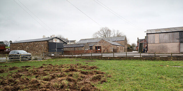
The village of Forton itself is home to a population of around 1,500 residents. It is characterized by its picturesque countryside, with rolling hills and farmland surrounding the area. The village features a mix of residential properties, including traditional stone cottages and more modern houses.

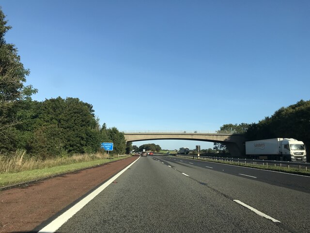
Forton is well-connected to nearby towns and cities, with the A6 road providing easy access to Lancaster and Preston. The village also benefits from a regular bus service, connecting it to other locations in the area.

Despite being a small parish, Forton offers a range of amenities for its residents. There is a community center that hosts various events and activities, as well as a primary school serving the local children. The village also has a small number of shops, including a convenience store and a post office.

The rural setting of Forton makes it an attractive location for outdoor enthusiasts, with plenty of opportunities for walking, cycling, and exploring the surrounding countryside. Overall, Forton offers a peaceful and close-knit community for its residents, with easy access to nearby amenities and natural beauty.

If you have any feedback on the listing, please let us know in the comments section below.
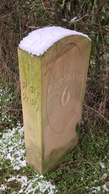
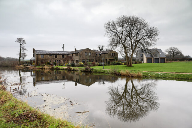
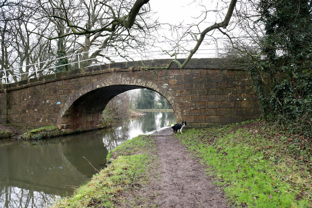
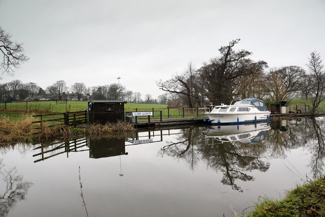
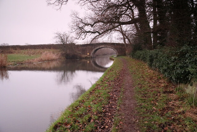
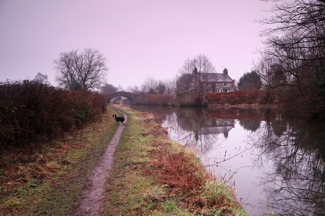
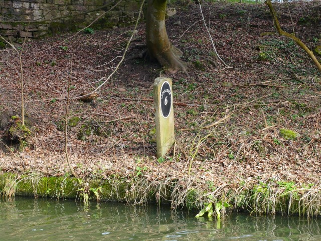
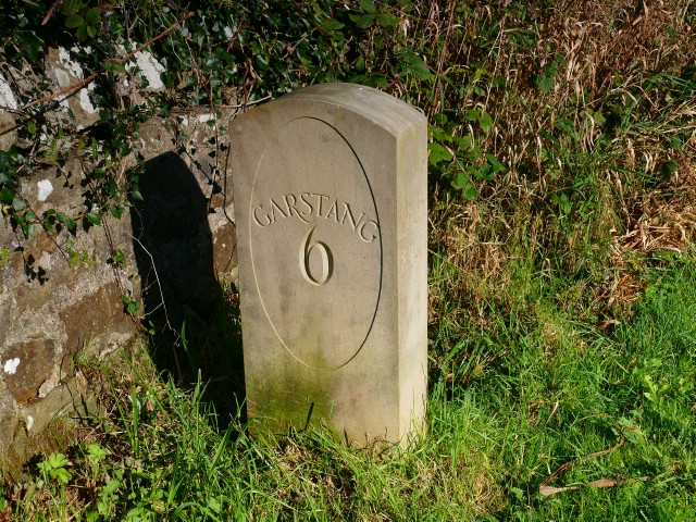
Forton Images

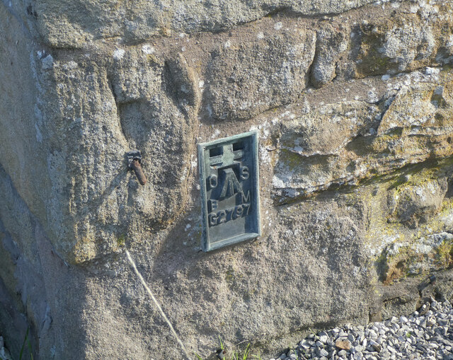
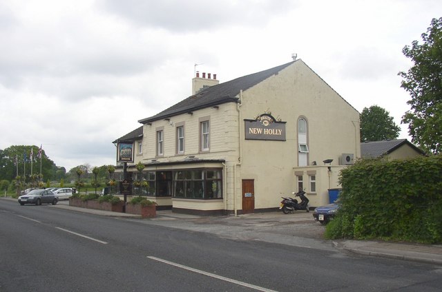
Images are sourced within 2km of 53.954731/-2.78376 or Grid Reference SD4851. Thanks to Geograph Open Source API. All images are credited.

Old Holly Farm Old Holly Farm is a family-run working organic dairy farm, which until recently was open to the public with visitor attractions of a nature no longer specified on the farm's website. This aspect of the farm's work was a victim of the Coronavirus Covid-19 pandemic as the owners made the difficult decision not to reopen after the third national lockdown in March 2021.
Old Holly Farm
Old Holly Farm is a family-run working organic dairy farm, which until recently was open to the public with visitor attractions of a nature no longer specified on the farm's website. This aspect of the farm's work was a victim of the Coronavirus Covid-19 pandemic as the owners made the difficult decision not to reopen after the third national lockdown in March 2021.
OS Bench Mark OS flush bracket bench mark on old building on E side of A6. 29.46 m above datum.
OS Bench Mark
OS flush bracket bench mark on old building on E side of A6. 29.46 m above datum.
Old Boundary Marker on the A6 Parish Boundary Marker on the west side of the A6 70 metres north of the junction with Middle Holly. On the boundary of Cabus and Cleveley parishes. Cleveley parish became part of Forton parish in 1935. Grade II Listed details <span class="nowrap"><a title="https://historicengland.org.uk/listing/the-list/list-entry/1163288" rel="nofollow ugc noopener" href="https://historicengland.org.uk/listing/the-list/list-entry/1163288">Link</a><img style="margin-left:2px;" alt="External link" title="External link - shift click to open in new window" src="https://s1.geograph.org.uk/img/external.png" width="10" height="10"/></span>. See also <a title="https://www.geograph.org.uk/photo/6038627" href="https://www.geograph.org.uk/photo/6038627">Link</a> for an older photo.

Milestone Society National ID: LA_LAGS07pb
Old Boundary Marker on the A6
Parish Boundary Marker on the west side of the A6 70 metres north of the junction with Middle Holly. On the boundary of Cabus and Cleveley parishes. Cleveley parish became part of Forton parish in 1935. Grade II Listed details LinkExternal link. See also Link for an older photo. Milestone Society National ID: LA_LAGS07pb
Anyon Lane bridge - M6 northbound
Medieval Wayside Cross base and Roman milestone by Stony Lane, Forton parish On Stony Lane north of its junction with the B5272 Garstang Road. Forton parish. See also <a title="https://www.geograph.org.uk/photo/6050604" href="https://www.geograph.org.uk/photo/6050604">Link</a> and <a title="https://www.geograph.org.uk/photo/1198410" href="https://www.geograph.org.uk/photo/1198410">Link</a>.

Forton Cross is a wayside cross with an old base. Grade II listed details <span class="nowrap"><a title="https://historicengland.org.uk/listing/the-list/list-entry/1318231" rel="nofollow ugc noopener" href="https://historicengland.org.uk/listing/the-list/list-entry/1318231">Link</a><img style="margin-left:2px;" alt="External link" title="External link - shift click to open in new window" src="https://s1.geograph.org.uk/img/external.png" width="10" height="10"/></span>.

Milestone Society National ID: LAWY_FOR

The Roman milestone looks more like the stump of a stone cross with its associated socket stone.

Milestone Society National ID: LA_XROMAN05
Medieval Wayside Cross base and Roman milestone by Stony Lane, Forton parish
On Stony Lane north of its junction with the B5272 Garstang Road. Forton parish. See also Link and Link. Forton Cross is a wayside cross with an old base. Grade II listed details LinkExternal link. Milestone Society National ID: LAWY_FOR The Roman milestone looks more like the stump of a stone cross with its associated socket stone. Milestone Society National ID: LA_XROMAN05
Modern Milestone, Lancaster Canal SW of Cockerham Road Bridge, in the Parish of Forton.

Inscription reads: Lancaster / 7 // 1819 / 2019 // Garstang / 6

Milestone Society National ID: LAN-23
Modern Milestone, Lancaster Canal
SW of Cockerham Road Bridge, in the Parish of Forton. Inscription reads: Lancaster / 7 // 1819 / 2019 // Garstang / 6 Milestone Society National ID: LAN-23
Tansy Hall An excellent residence for viewing passing traffic on the Lancaster Canal, which, judging by the number of boats at private moorings along this stretch, could be quite a lot in the warmer seasons. There wasn't much moving on this rather dreich day just after winter solstice (I'd driven quite a long way to find a geograph walk for the dog and myself which gave hope of adequate visibility to take photographs of any geographical relevance).
Tansy Hall
An excellent residence for viewing passing traffic on the Lancaster Canal, which, judging by the number of boats at private moorings along this stretch, could be quite a lot in the warmer seasons. There wasn't much moving on this rather dreich day just after winter solstice (I'd driven quite a long way to find a geograph walk for the dog and myself which gave hope of adequate visibility to take photographs of any geographical relevance).
Smiths Bridge, Lancaster Canal The construction of the Lancaster Canal started soon after its enabling Act of Parliament in 1792, and was open to traffic from Preston to Tewitfield by 1797. Bridge 77, which is an occupation bridge (which nowadays carries a public footpath) would have been part of the original works. The Lancaster Observer had a long running column "Past and Present" by local historian "W.H." within which number 7 of a series of articles "Some Family Links", published on 18th November 1904 records that "William Smith bought the Goose Green property in Forton, and went to live there about 1768. He afterwards went to Hole of Ellel with his only son, Henry, and died there in 1807." It seems most likely that he would be the eponymous Smith and that the newly built canal would have split the farmland associated with Goose Green (250m SSW of the bridge) necessitating the construction of the bridge. Whoever owns the property now seems exceptionally keen to prevent communication between the public footpath over the bridge and the canal towpath, as both sides of the public right of way have fences topped with no less than four strands of barbed wire making it next to impossible for visiting geographers to nip over the bridge into SD4851. Curse you !
Smiths Bridge, Lancaster Canal
The construction of the Lancaster Canal started soon after its enabling Act of Parliament in 1792, and was open to traffic from Preston to Tewitfield by 1797. Bridge 77, which is an occupation bridge (which nowadays carries a public footpath) would have been part of the original works. The Lancaster Observer had a long running column "Past and Present" by local historian "W.H." within which number 7 of a series of articles "Some Family Links", published on 18th November 1904 records that "William Smith bought the Goose Green property in Forton, and went to live there about 1768. He afterwards went to Hole of Ellel with his only son, Henry, and died there in 1807." It seems most likely that he would be the eponymous Smith and that the newly built canal would have split the farmland associated with Goose Green (250m SSW of the bridge) necessitating the construction of the bridge. Whoever owns the property now seems exceptionally keen to prevent communication between the public footpath over the bridge and the canal towpath, as both sides of the public right of way have fences topped with no less than four strands of barbed wire making it next to impossible for visiting geographers to nip over the bridge into SD4851. Curse you !
Private Mooring for Lady Alison No doubt is being left about which boat belongs in this private mooring on the Lancaster Canal and said boat is present to emphasise the point. The gentle grassy slope behind rejoices in the name Clifton Hill, rising to a group of buildings, numbers 1 & 2 Clifton Hill, with adjacent (former) Roman Catholic Chapel, which are listed buildings (no. 1163502 dating from 1967-04-17). This was originally a single country house, dating from 1820, by Richard Gillow, later divided into two. The chapel was converted into living accommodation more recently.
Private Mooring for Lady Alison
No doubt is being left about which boat belongs in this private mooring on the Lancaster Canal and said boat is present to emphasise the point. The gentle grassy slope behind rejoices in the name Clifton Hill, rising to a group of buildings, numbers 1 & 2 Clifton Hill, with adjacent (former) Roman Catholic Chapel, which are listed buildings (no. 1163502 dating from 1967-04-17). This was originally a single country house, dating from 1820, by Richard Gillow, later divided into two. The chapel was converted into living accommodation more recently.
Moorhead Cottage Situated on Middle Holly, immediately south of the junction with Ratcliffe Wharf Lane in an area where individual dwellings are scattered about within the rather diffuse parish of Forton.
Moorhead Cottage
Situated on Middle Holly, immediately south of the junction with Ratcliffe Wharf Lane in an area where individual dwellings are scattered about within the rather diffuse parish of Forton.
Cockerham Road bridge, no. 79 on Lancaster Canal Just enough time to photograph the canal bridge as the light fades (and goes noticeably pink, despite the low overcast). This one carries the Cockerham Road (and a surprising amount of traffic for such a narrow road) over the Lancaster Canal.
Cockerham Road bridge, no. 79 on Lancaster Canal
Just enough time to photograph the canal bridge as the light fades (and goes noticeably pink, despite the low overcast). This one carries the Cockerham Road (and a surprising amount of traffic for such a narrow road) over the Lancaster Canal.
Richmond bridge and Canal Cottage Definitely time to turn round and head back to the car as the daylight fades - under this heavy overcast it didn't feel like pretty sunset light, but the camera clearly shows that the world was turning pink, somewhat to my surprise. This is bridge number 80 (numbering runs from Preston northwards) on the Lancaster Canal. The dog, as always, is up for the walk to go on much longer - she has no sense of time pressing (and I'd not brought a head torch).
Richmond bridge and Canal Cottage
Definitely time to turn round and head back to the car as the daylight fades - under this heavy overcast it didn't feel like pretty sunset light, but the camera clearly shows that the world was turning pink, somewhat to my surprise. This is bridge number 80 (numbering runs from Preston northwards) on the Lancaster Canal. The dog, as always, is up for the walk to go on much longer - she has no sense of time pressing (and I'd not brought a head torch).
Old Milestone Marker 33-24 F (between bridges 83-82), Lancaster Canal Old Milestone located by the side of the Lancaster Canal
This milestone is 24 miles from the centre of Preston and 33 miles from Kendal

Inscription reads:- 
Garstang / 7 :: Lancaster / 6 

Milestone Society National ID: LAN-24
Old Milestone Marker 33-24 F (between bridges 83-82), Lancaster Canal
Old Milestone located by the side of the Lancaster Canal This milestone is 24 miles from the centre of Preston and 33 miles from Kendal Inscription reads:- Garstang / 7 :: Lancaster / 6 Milestone Society National ID: LAN-24
Milestone Marker 34-23 F (between bridges 79-78), Lancaster Canal Milestone located by the side of the Lancaster Canal
This milestone is 23 miles from the centre of Preston and 34 miles from Kendal

Inscription reads:- 
Garstang / 6 :: Lancaster / 7 

Milestone Society National ID: LAN-23R
Milestone Marker 34-23 F (between bridges 79-78), Lancaster Canal
Milestone located by the side of the Lancaster Canal This milestone is 23 miles from the centre of Preston and 34 miles from Kendal Inscription reads:- Garstang / 6 :: Lancaster / 7 Milestone Society National ID: LAN-23R
Old Milestone Marker 35-22 F (between bridges 77-76), Lancaster Canal Old Milestone located by the side of the Lancaster Canal
This milestone is 22 miles from the centre of Preston and 35 miles from Kendal

Inscription reads:- 
Garstang / 5 (missing) :: Lancaster / 8 (missing) 

Milestone Society National ID: LAN-22
Old Milestone Marker 35-22 F (between bridges 77-76), Lancaster Canal
Old Milestone located by the side of the Lancaster Canal This milestone is 22 miles from the centre of Preston and 35 miles from Kendal Inscription reads:- Garstang / 5 (missing) :: Lancaster / 8 (missing) Milestone Society National ID: LAN-22
OS Bench Mark Ordnance Survey cut bench mark from the 19th century levelling on NE side of NE parapet of Potters Brook bridge on A6. Only visible by leaning over the parapet and holding the camera upside-down! 77.8 ft above old datum.
OS Bench Mark
Ordnance Survey cut bench mark from the 19th century levelling on NE side of NE parapet of Potters Brook bridge on A6. Only visible by leaning over the parapet and holding the camera upside-down! 77.8 ft above old datum.
OS Bench Mark Ordnance Survey rivet bench mark from the 20th century levelling, on top of boundary stone by Potters Brook Bridge on A6. 23.842 m above datum. The stone has been painted since photo <a href="https://www.geograph.org.uk/photo/6051387">SD4852 : Old Boundary Marker  by the A6, Potters Brook, Ellel parish</a> was taken.
OS Bench Mark
Ordnance Survey rivet bench mark from the 20th century levelling, on top of boundary stone by Potters Brook Bridge on A6. 23.842 m above datum. The stone has been painted since photo SD4852 : Old Boundary Marker by the A6, Potters Brook, Ellel parish was taken.
OS Bench Mark Ordnance Survey flush bracket bench mark (G2797) on corner of house on A6. 23.204 m above datum.
OS Bench Mark
Ordnance Survey flush bracket bench mark (G2797) on corner of house on A6. 23.204 m above datum.
Show me another place!

Forton is located at Grid Ref: SD4851 (Lat: 53.954731, Lng: -2.78376)

Administrative County: Lancashire

District: Wyre

Police Authority: Lancashire

What 3 Words

///melts.thrones.bachelor. Near Bay Horse, Lancashire

Nearby Locations

Forton Forton

Related Wikis

Forton, Lancashire

Forton is a village and civil parish in the Wyre district of the English county of Lancashire near the Forest of Bowland. It is near the A6 road, between...

Hollins Lane

Hollins Lane is a village near the village of Forton, in the Wyre District, in the English county of Lancashire. The village has the Lancaster and Preston...

Shireshead

Shireshead is a hamlet near Forton, Lancashire. It includes an Anglican church, St James', which was designed by the Leeds-based architectural firm Kelly...

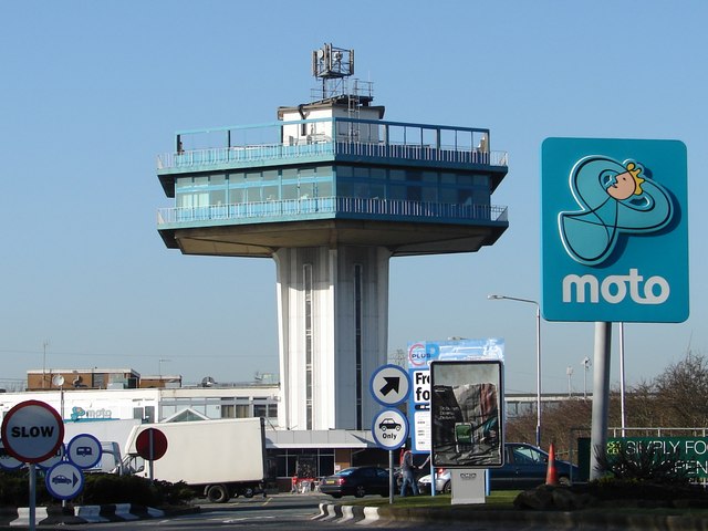
Lancaster (Forton) Services

Lancaster (Forton) services is a motorway service station, between junctions 32 and 33 of the M6 motorway in England. The nearest city is Lancaster, about...

Nearby Amenities

Located within 500m of 53.954731,-2.78376
Forton
Place: village
Source: npe
Lat/Long: 53.9556374/-2.7835002
Post Box
Post Box Mounting: brick_pillar
Post Box Type: wall
Ref: PR3 54
Royal Cypher: EIIR
Royal Cypher Wikidata: Q33102113
Lat/Long: 53.9549922/-2.7813164
Defibrillator
Defibrillator Location: outside Forton Village Halll
Emergency: defibrillator
Indoor: no
Lat/Long: 53.9550372/-2.7820093
Historic: memorial
Memorial: war_memorial
Lat/Long: 53.9550155/-2.7816352
The data included in this document is from www.openstreetmap.org. The data is made available under ODbL.

Have you been to Forton?

Leave your review of Forton below (or comments, questions and feedback).