Forest Hill with Shotover

Civil Parish in Oxfordshire South Oxfordshire

England

Forest Hill with Shotover

Sandy Lane
Sandy Lane Credit: Vieve Forward

Forest Hill with Shotover is a civil parish located in Oxfordshire, England. Situated approximately 5 miles east of the city of Oxford, the parish covers an area of about 7 square kilometers. It is nestled in the scenic Shotover Country Park, which is a popular location for outdoor activities and nature enthusiasts.

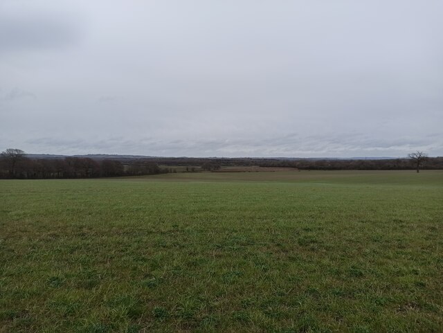
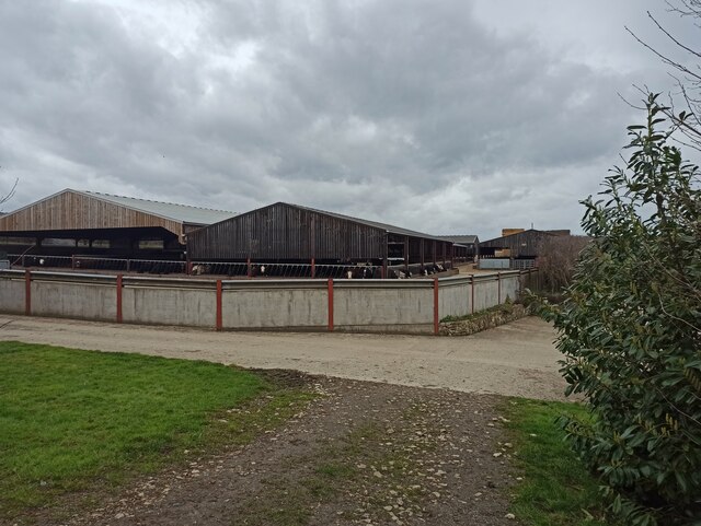
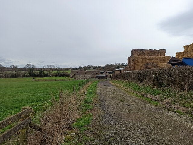
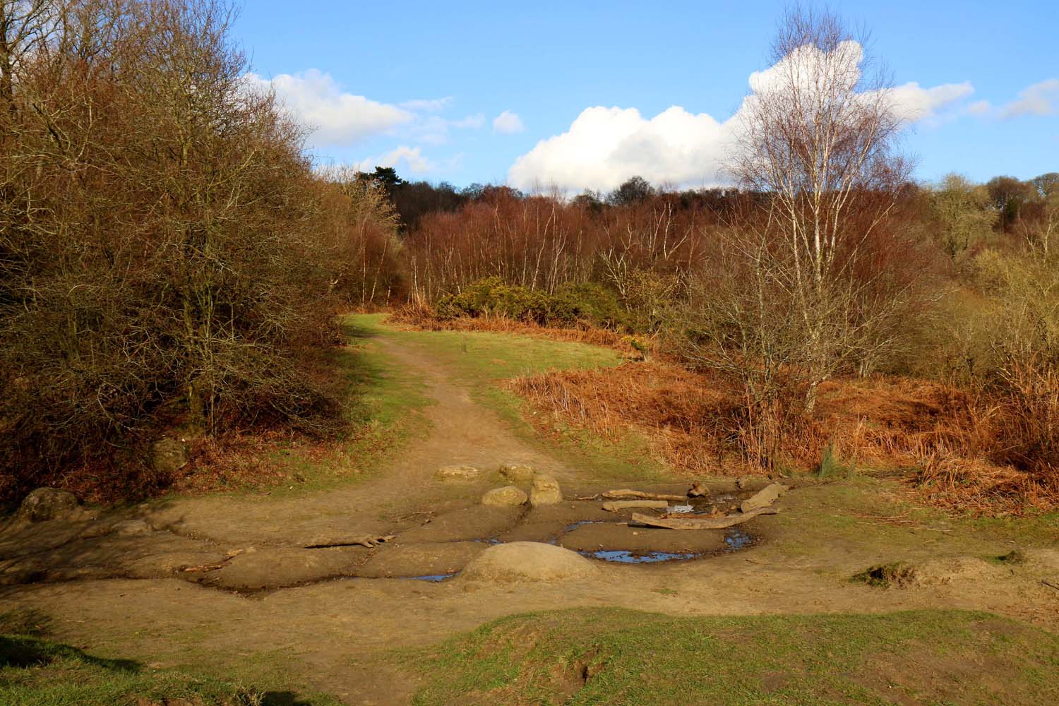
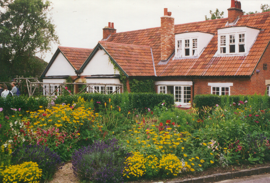
Forest Hill with Shotover is a small community with a population of around 500 residents. The parish is known for its picturesque countryside, with rolling hills, woodlands, and fields dominating the landscape. The area is particularly renowned for its ancient woodland, which is home to a diverse range of flora and fauna.

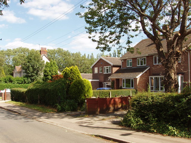
The parish is well-connected to neighboring areas through a network of roads, making it easily accessible for both residents and visitors. The nearby city of Oxford offers a wide range of amenities, including shops, restaurants, and cultural attractions, while the surrounding countryside provides opportunities for hiking, cycling, and horse riding.

Forest Hill with Shotover has a rich history, with evidence of human settlement dating back to the Iron Age. The area was later occupied by the Romans, who left behind various artifacts and structures. Today, the parish retains its rural charm and offers a peaceful and idyllic setting for those seeking a countryside escape within close proximity to Oxford.

If you have any feedback on the listing, please let us know in the comments section below.

Forest Hill with Shotover Images

Images are sourced within 2km of 51.758176/-1.168353 or Grid Reference SP5706. Thanks to Geograph Open Source API. All images are credited.

Sandy Lane
Sandy Lane
Minchin Court Farm
Minchin Court Farm
Breach Farm
Breach Farm
Breach Farm
Breach Farm
Easter Monday Egg Roll Every Easter Sunday, the park rangers hold a 'Best Decorated Egg' competition, followed by the traditional egg roll. A great local event!
Easter Monday Egg Roll
Every Easter Sunday, the park rangers hold a 'Best Decorated Egg' competition, followed by the traditional egg roll. A great local event!
Thornhill Park and Ride, Oxford
Shotover Country Park, Oxford Shotover Hill, 3 miles (5km) to the east of Oxford, rises steeply to a height of 557 feet (171m) above sea level. Shotover was a Royal Forest from the time of the Domesday book until 1660, by which time the woodland was in such poor condition that it was disafforested or made no longer subject to forest laws.
Shotover Country Park, Oxford
Shotover Hill, 3 miles (5km) to the east of Oxford, rises steeply to a height of 557 feet (171m) above sea level. Shotover was a Royal Forest from the time of the Domesday book until 1660, by which time the woodland was in such poor condition that it was disafforested or made no longer subject to forest laws.
St, Mary's Church, Headington
White Horse - Forest Hill Former Morrells brewery pub
White Horse - Forest Hill
Former Morrells brewery pub
Talk House - Stanton St John pub restaurant on the Islip Wheatley road; formerly the George
Talk House - Stanton St John
pub restaurant on the Islip Wheatley road; formerly the George
Obelisk, garden of Shotover House The obelisk was designed by William Kent in the 1730s when he laid out the gardens west of Shotover House. The Oxford Inscriptions website  recorded the story that it marks the place where Elizabeth 1st took leave of Oxford in 1592 on her last visit.
Obelisk, garden of Shotover House
The obelisk was designed by William Kent in the 1730s when he laid out the gardens west of Shotover House. The Oxford Inscriptions website recorded the story that it marks the place where Elizabeth 1st took leave of Oxford in 1592 on her last visit.
Tree-lined avenue to Shotover House This avenue leads from the house to the old Oxford-London road which went over Shotover Hill
Tree-lined avenue to Shotover House
This avenue leads from the house to the old Oxford-London road which went over Shotover Hill
Horspath Reservoir This small reservoir is next to the old road over Shotover Hill.
Horspath Reservoir
This small reservoir is next to the old road over Shotover Hill.
Houses in Littleworth, near Wheatley These are on the Old Road over Shotover Hill to Oxford
Houses in Littleworth, near Wheatley
These are on the Old Road over Shotover Hill to Oxford
Bean field near Shotover House View from the bridleway along the avenue of trees leading to Shotover House.
Bean field near Shotover House
View from the bridleway along the avenue of trees leading to Shotover House.
Field and wood by Shotover House The wood is on the fringe of the gardens of Shotover House. The agricultural implement in the field is a roller.
Field and wood by Shotover House
The wood is on the fringe of the gardens of Shotover House. The agricultural implement in the field is a roller.
Outbuildings of Shotover House Shotover House is in the background
Outbuildings of Shotover House
Shotover House is in the background
Temple at Shotover House The temple was designed by William Kent when laying out this area of the gardens in the 1730s.
Temple at Shotover House
The temple was designed by William Kent when laying out this area of the gardens in the 1730s.
Show me another place!

Forest Hill with Shotover is located at Grid Ref: SP5706 (Lat: 51.758176, Lng: -1.168353)

Administrative County: Oxfordshire

District: South Oxfordshire

Police Authority: Thames Valley

What 3 Words

///groom.hosts.hint. Near Wheatley, Oxfordshire

Related Wikis

Forest Hill with Shotover

Forest Hill with Shotover is a civil parish covering 7.56 kmĀ² of South Oxfordshire approximately centred 3 miles (4.8 km) east of Oxford. Its population...

Shotover Park

Shotover Park (also called Shotover House) is an 18th-century country house and park near Wheatley, Oxfordshire, England. The house, garden and parkland...

Headington Rural District

Headington was a rural district in Oxfordshire, England from 1894 to 1932, based on the Headington rural sanitary district. It covered an area to the east...

Shotover

Shotover is a hill and forest in Oxfordshire, England. The hill is 3 miles (4.8 km) east of Oxford. Its highest point is 557 feet (170 m) above sea level...

Brasenose Wood and Shotover Hill

Brasenose Wood and Shotover Hill is a 109.2-hectare (270-acre) biological Site of Special Scientific Interest on the eastern outskirts of Oxford in Oxfordshire...

Risinghurst and Sandhills

Risinghurst and Sandhills is a civil parish in the city of Oxford, Oxfordshire, England. It consists of Risinghurst and Sandhills, two areas in the east...

Forest Hill, Oxfordshire

Forest Hill is a village in the civil parish of Forest Hill with Shotover, in the South Oxfordshire district, in Oxfordshire, England, about 4.5 miles...

The Kilns

The Kilns, also known as C. S. Lewis House, is the house in Risinghurst, Oxford, England, where the author C. S. Lewis wrote all of his Narnia books and...

Nearby Amenities

Located within 500m of 51.758176,-1.168353
Barrier: stile
Lat/Long: 51.7558141/-1.1623231
Power: pole
Lat/Long: 51.7600423/-1.170595
Power: pole
Lat/Long: 51.7542772/-1.1716025
Material: wood
Power: pole
Lat/Long: 51.7619317/-1.1701534
Power: pole
Lat/Long: 51.7583622/-1.1708807
Power: pole
Lat/Long: 51.7559087/-1.1713043
Power: pole
Source: Bing
Lat/Long: 51.7592131/-1.1707392
Power: pole
Lat/Long: 51.7613789/-1.1733118
Power: pole
Lat/Long: 51.756729/-1.1711735
Power: pole
Lat/Long: 51.757475/-1.1710404
Power: pole
Lat/Long: 51.755107/-1.1714546
Power: pole
Lat/Long: 51.7594589/-1.1751473
Power: pole
Lat/Long: 51.7601411/-1.1747074
The data included in this document is from www.openstreetmap.org. The data is made available under ODbL.

Have you been to Forest Hill with Shotover?

Leave your review of Forest Hill with Shotover below (or comments, questions and feedback).