Fordham
Civil Parish in Norfolk King's Lynn and West Norfolk
England
Fordham
Fordham is a civil parish located in the county of Norfolk, England. Situated approximately 12 miles east of the city of Norwich, it covers an area of around 7.5 square miles. The parish is bordered by the parishes of Old Buckenham, Carleton Rode, Morley St Peter, and Wymondham.
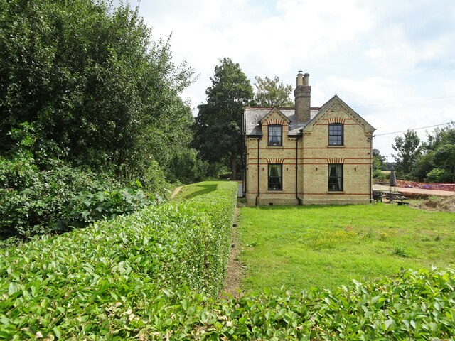
The village of Fordham, which serves as the main settlement in the parish, is home to a population of around 400 residents. It is a picturesque rural village with a charming mix of traditional thatched cottages and more modern housing. The village is known for its beautiful St. Mary's Church, which dates back to the 14th century and features stunning stained glass windows.
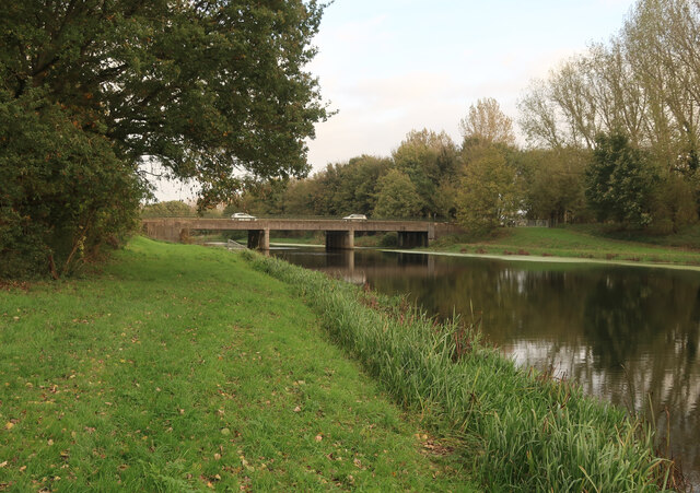
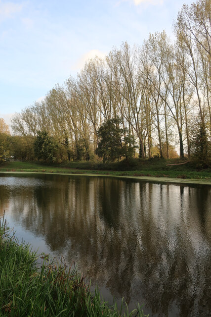
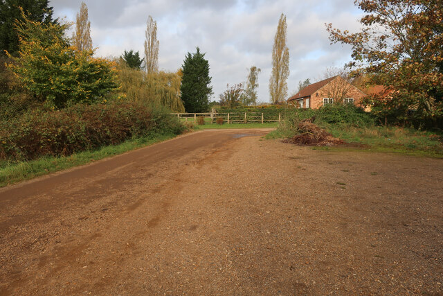
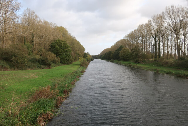
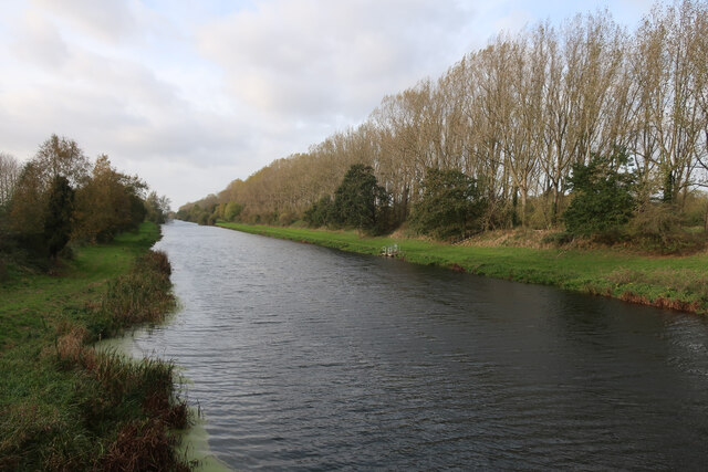
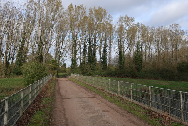
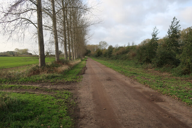
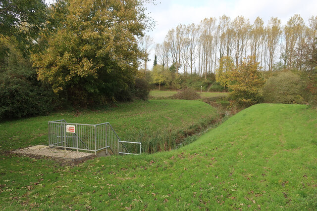
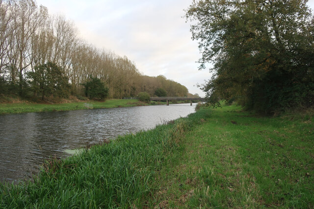
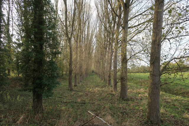
The surrounding countryside of Fordham is largely agricultural, with open fields and farmland dominating the landscape. The parish is intersected by several small streams and waterways, adding to its natural beauty. It also boasts a number of footpaths and trails, making it a popular destination for walkers and nature enthusiasts.
Despite its small size, Fordham has a strong sense of community and offers a range of amenities for residents and visitors. These include a village hall, a primary school, a pub, and a local shop. The village also hosts various community events throughout the year, such as fairs and festivals.
In summary, Fordham is a charming rural parish in Norfolk, offering a peaceful and picturesque setting with a strong community spirit.
If you have any feedback on the listing, please let us know in the comments section below.
Fordham Images
Images are sourced within 2km of 52.570404/0.38123 or Grid Reference TL6199. Thanks to Geograph Open Source API. All images are credited.


Fordham is located at Grid Ref: TL6199 (Lat: 52.570404, Lng: 0.38123)
Administrative County: Norfolk
District: King's Lynn and West Norfolk
Police Authority: Norfolk
What 3 Words
///remembers.tend.rejects. Near Downham Market, Norfolk
Nearby Locations
Related Wikis

Fordham, Norfolk
Fordham is a small village and civil parish in the English county of Norfolk. The village is located 2.2 miles (3.5 km) north of Downham Market and 39...
St Mary's Church, Fordham
St Mary's Church is located to the south of the village of Fordham, Norfolk, England. It is a redundant Anglican parish church in the care of the Friends...
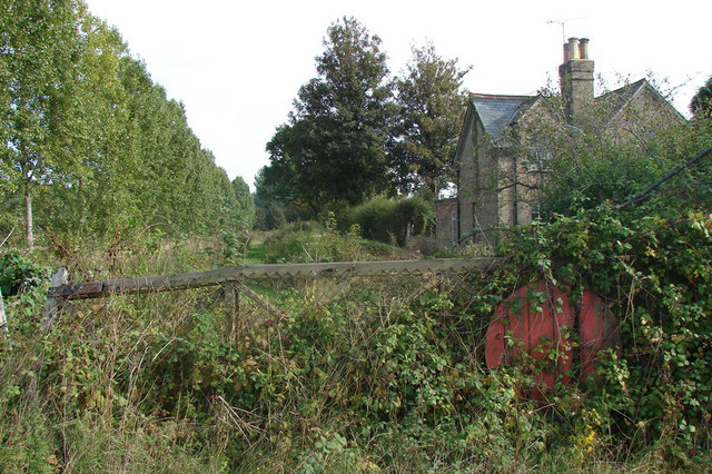
Ryston railway station
Ryston railway station was a railway station serving Fordham, Norfolk. It was on a branch line from Denver. == History == The Downham and Stoke Ferry Railway...

1974 Norfolk mid-air collision
The 1974 Norfolk mid-air collision happened on 9 August 1974 at Fordham Fen, Norfolk, England when a Royal Air Force McDonnell-Douglas F-4M Phantom FGR...

Hilgay
Hilgay is a village and civil parish in Norfolk, England, 4 miles (6.4 km) from Downham Market. It covers an area of 33.38 km2 (12.89 sq mi) and had a...
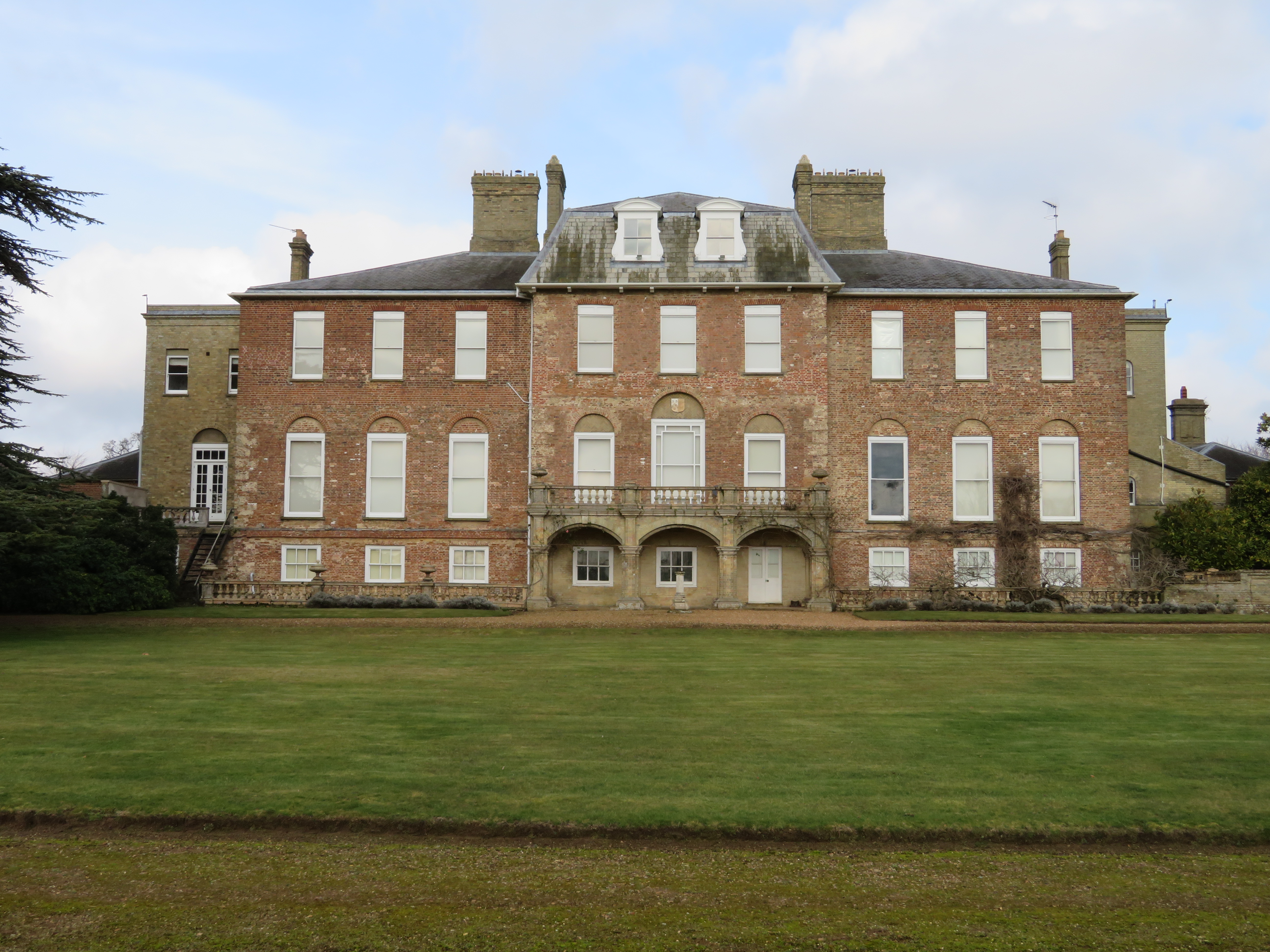
Ryston Hall
Ryston Hall, Ryston, Norfolk, England is a 17th-century country house built by Sir Roger Pratt for himself. The house was constructed between 1669 and...

Denver Windmill
Denver Windmill is a Grade II* listed tower mill at Denver, Norfolk, England. In March 2010, there were about 374,000 list entries of which 5.5% were Grade...

Denver, Norfolk
Denver is a village and civil parish in the English county of Norfolk. The village is situated on the River Great Ouse, approximately 1 mile (1.6 km) south...
Nearby Amenities
Located within 500m of 52.570404,0.38123Have you been to Fordham?
Leave your review of Fordham below (or comments, questions and feedback).