Flyford Flavell

Civil Parish in Worcestershire Wychavon

England

Flyford Flavell

Footpath to North Piddle There are no roads through this square, just a couple of footpaths. There is one house on the western boundary, the rest is farmland, with a few lakes to the east of the square.
Footpath to North Piddle Credit: Philip Halling

Flyford Flavell is a civil parish located in the county of Worcestershire, England. Situated approximately 12 miles northeast of the city of Worcester, it covers an area of around 5 square miles. The parish is part of the Wychavon district and is home to a small population of around 600 residents.

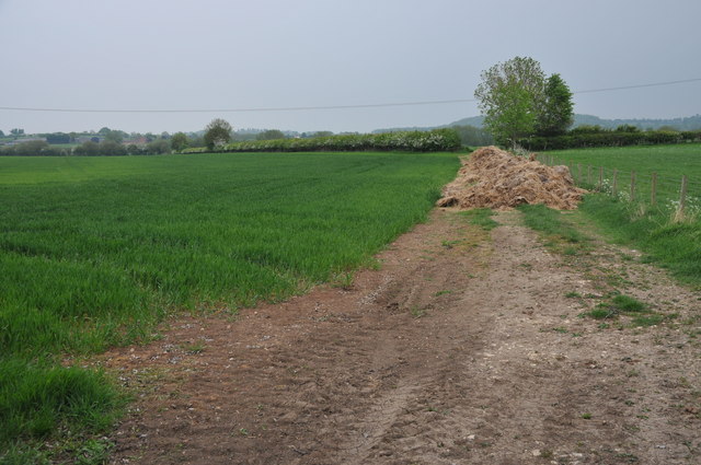
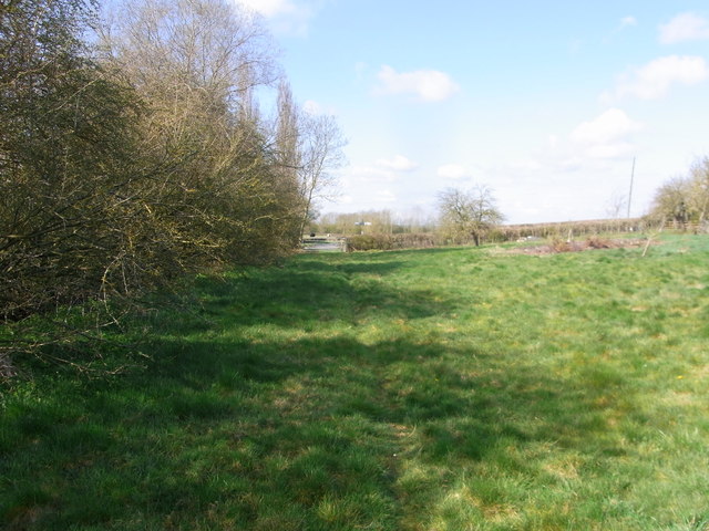
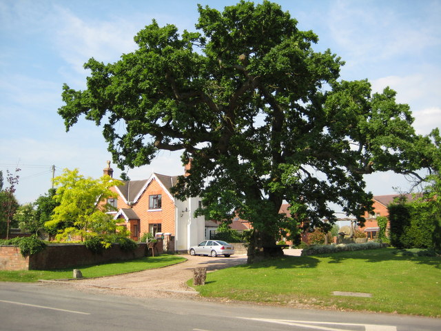
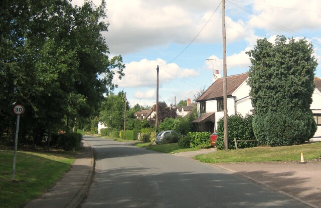
The village of Flyford Flavell is nestled in a rural setting, surrounded by picturesque countryside and rolling hills. It is known for its tranquil atmosphere and charming English village character. The architecture of the village reflects its long history, with many buildings dating back several centuries.

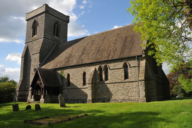
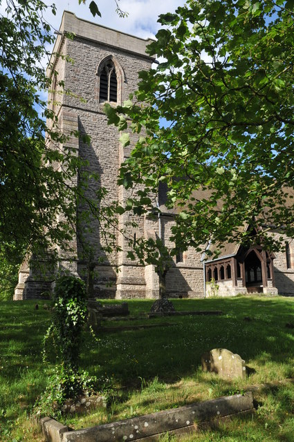
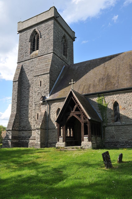
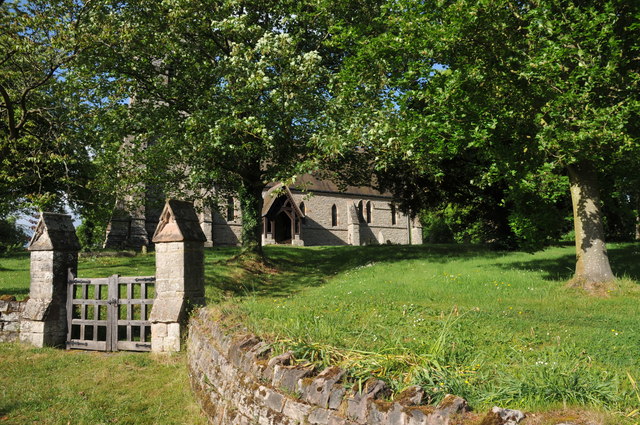
The heart of the village is its parish church, St. Peter's Church, which dates back to the 12th century. This historic church is a prominent landmark in the area and attracts visitors interested in its architectural and historical significance.

Flyford Flavell offers a range of amenities for its residents, including a local pub, The Boot Inn, which is a popular gathering spot for locals and visitors alike. The village also has a primary school, providing education for children in the area.

The surrounding countryside provides opportunities for outdoor activities such as walking, cycling, and horse riding. The nearby River Salwarpe is a popular spot for fishing enthusiasts.

Overall, Flyford Flavell is a peaceful and picturesque civil parish that offers a quintessential English village experience.

If you have any feedback on the listing, please let us know in the comments section below.

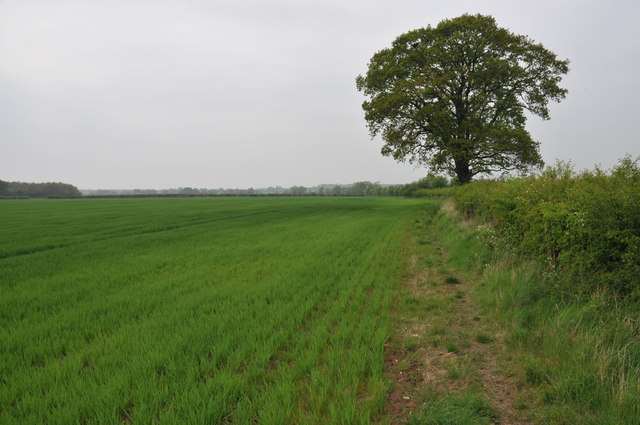
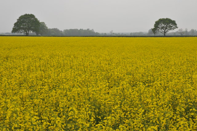
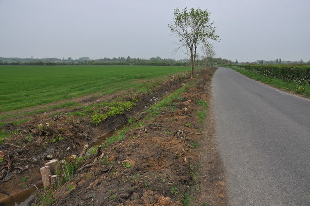
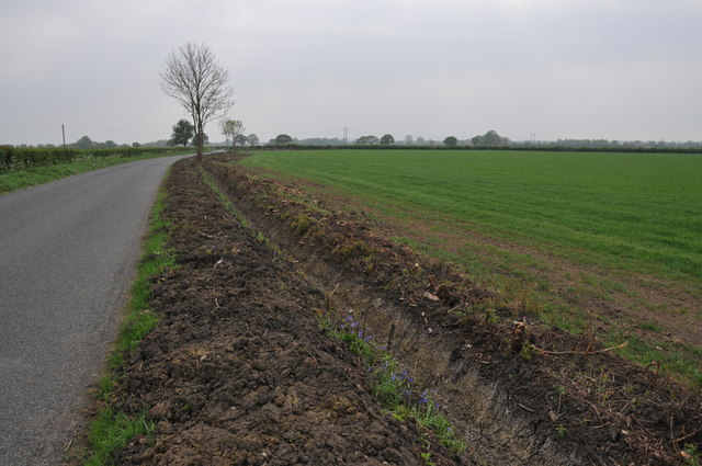
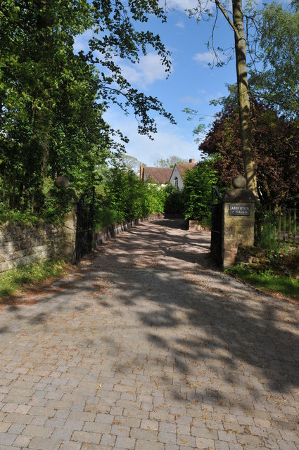
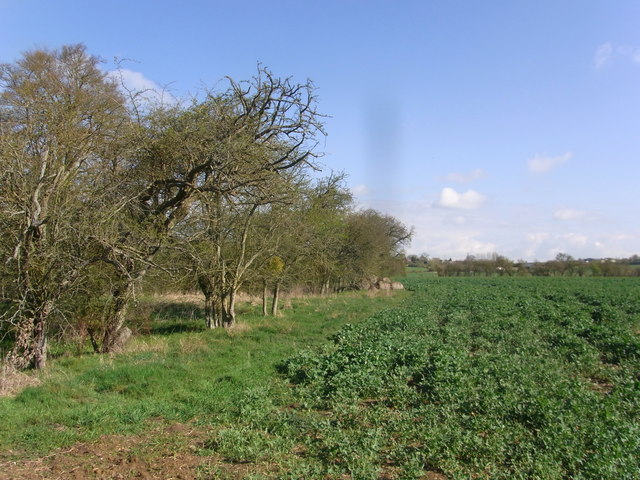
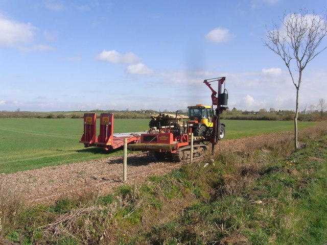
Flyford Flavell Images

Images are sourced within 2km of 52.184101/-2.028841 or Grid Reference SO9853. Thanks to Geograph Open Source API. All images are credited.

Footpath to North Piddle There are no roads through this square, just a couple of footpaths. There is one house on the western boundary, the rest is farmland, with a few lakes to the east of the square.
Footpath to North Piddle
There are no roads through this square, just a couple of footpaths. There is one house on the western boundary, the rest is farmland, with a few lakes to the east of the square.
Oilseed rape field Oilseed rape field near Naunton Beauchamp.
Oilseed rape field
Oilseed rape field near Naunton Beauchamp.
Grubbed hedgerow Grubbed hedgerow and recently dug ditch beside a road to the east of Naunton Beauchamp.
Grubbed hedgerow
Grubbed hedgerow and recently dug ditch beside a road to the east of Naunton Beauchamp.
Grubbed hedgerow Grubbed hedgerow and recently dug ditch beside a road to Naunton Beauchamp.
Grubbed hedgerow
Grubbed hedgerow and recently dug ditch beside a road to Naunton Beauchamp.
Arable land at Abberton A field of cereal beside the road to the north of Abberton.
Arable land at Abberton
A field of cereal beside the road to the north of Abberton.
Abberton church Abberton church is dedicated to St. Eadburga and was rebuilt in 1881–2 on the site of the old church
Abberton church
Abberton church is dedicated to St. Eadburga and was rebuilt in 1881–2 on the site of the old church
Abberton church Abberton church is dedicated to St. Eadburga and was rebuilt in 1881–2 on the site of the old church
Abberton church
Abberton church is dedicated to St. Eadburga and was rebuilt in 1881–2 on the site of the old church
Abberton church Abberton church is dedicated to St. Eadburga and was rebuilt in 1881–2 on the site of the old church
Abberton church
Abberton church is dedicated to St. Eadburga and was rebuilt in 1881–2 on the site of the old church
Entrance to Abberton church Entrance to Abberton church which is dedicated to St. Eadburga.  The church was rebuilt in 1881–2 on the site of the old church.
Entrance to Abberton church
Entrance to Abberton church which is dedicated to St. Eadburga. The church was rebuilt in 1881–2 on the site of the old church.
Entrance to Abberton Hall Abberton Hall is next to the parish church.
Entrance to Abberton Hall
Abberton Hall is next to the parish church.
Climb out of the road,  Flyford Flavell
Climb out of the road, Flyford Flavell
The Flyford Arms through the trees Taken from the footpath towards the village.
The Flyford Arms through the trees
Taken from the footpath towards the village.
Paths cross at the corner Taken at the crossing paths near Flyford Flavell. Lots of hedgerow trees have good colonies of mistletoe.
Paths cross at the corner
Taken at the crossing paths near Flyford Flavell. Lots of hedgerow trees have good colonies of mistletoe.
Follow the hedge, grassland near Flyford Flavell
Three parishes meet near this bridge The ditch forms the boundary between Flyford Flavell and Naunton Beauchamp, with North Piddle just the other side and to left of picture.
Three parishes meet near this bridge
The ditch forms the boundary between Flyford Flavell and Naunton Beauchamp, with North Piddle just the other side and to left of picture.
Edge of the copse by the footpath Path follows the parish boundary, Flyford Flavell and Naunton Beauchamp, next to the field of oil-seed rape.
Edge of the copse by the footpath
Path follows the parish boundary, Flyford Flavell and Naunton Beauchamp, next to the field of oil-seed rape.
Fencing work by the road border near Baynhall Farm
Bridleway in the paddock below Baynhall Farm
Show me another place!

Flyford Flavell is located at Grid Ref: SO9853 (Lat: 52.184101, Lng: -2.028841)

Administrative County: Worcestershire

District: Wychavon

Police Authority: West Mercia

What 3 Words

///cheerily.desks.polished. Near Kington, Worcestershire

Nearby Locations

Flyford Flavell

Related Wikis

Flyford Flavell

Flyford Flavell is a village in Worcestershire , it has a traditional pub in the centre of the village adjacent to the village green and a first school...

Abberton, Worcestershire

Abberton is a small village in Worcestershire, England. In 1991, the population was 44, this grew to 67 in 24 households in 2001.The principal house in...

Abberton Hall

Abberton Hall is a small country house in the village of Abberton, Worcestershire, England, near Pershore. == History == It is an irregular two-story...

North Piddle

North Piddle is a small civil parish in the Wychavon district of Worcestershire, England. It is located within a loop of Piddle Brook. North Piddle is...

Kington, Worcestershire

Kington is a village in Worcestershire, England, situated near to Flyford Flavell. == History == The earliest known recording of Kington in the Domesday...

Grafton Wood

Grafton Wood is a nature reserve near the village of Grafton Flyford, about 6 miles (9.7 km) east of Worcester, in Worcestershire, England. == Description... ==

Naunton Beauchamp

Naunton Beauchamp (pronounced 'Bo-schomp') is a village and is also a civil parish within Wychavon district in Worcestershire, England. It is in the centre...

Bishampton

Bishampton is a village and civil parish in the Wychavon district of Worcestershire, England with a population of 625. It contains a church, a village...

Nearby Amenities

Located within 500m of 52.184101,-2.028841
Flyford Flavell South
Power: pole
Transformer: distribution
Voltage Primary: 11000
Lat/Long: 52.1875122/-2.029793
Power: pole
Lat/Long: 52.1867259/-2.0296057
Power: pole
Lat/Long: 52.1870198/-2.0295564
Power: pole
Lat/Long: 52.1858874/-2.0290194
Power: pole
Lat/Long: 52.1884733/-2.0300628
Power: pole
Lat/Long: 52.18638/-2.0295181
Power: pole
Lat/Long: 52.1881215/-2.0299665
Power: pole
Lat/Long: 52.1858099/-2.0288587
Lower Church Farm
Power: pole
Transformer: distribution
Voltage Primary: 11000
Lat/Long: 52.1844227/-2.0286043
Power: pole
Lat/Long: 52.1878031/-2.0298701
Power: pole
Lat/Long: 52.1871202/-2.029704
Power: pole
Lat/Long: 52.1864115/-2.0292707
Turning Loop
Lat/Long: 52.1840586/-2.0293793
Power: pole
Lat/Long: 52.1805684/-2.0252623
Baynhall Farm North
Power: pole
Transformer: distribution
Voltage Primary: 11000
Lat/Long: 52.1816827/-2.0259818
Power: pole
Lat/Long: 52.1824203/-2.0265122
Fair Acre
Power: pole
Transformer: distribution
Voltage Primary: 11000
Lat/Long: 52.1829646/-2.0268917
Power: pole
Lat/Long: 52.1836973/-2.0273973
Power: pole
Lat/Long: 52.1852316/-2.0284514
Power: pole
Lat/Long: 52.1844176/-2.0278882
Location Transition: yes
Power: pole
Lat/Long: 52.1859872/-2.0297281
The data included in this document is from www.openstreetmap.org. The data is made available under ODbL.

Have you been to Flyford Flavell?

Leave your review of Flyford Flavell below (or comments, questions and feedback).