Brockhollands

Settlement in Gloucestershire Forest of Dean

England

Brockhollands

Finish at British Orienteering Championships race, Lydney Park, Lydney, Glos. The British Orienteering Championships took place at Lydney Park in the Forest of Dean in 2004. The finish for the individual day race was in this field, which runs along a valley bottom. The orienteering took place in the mixed woodland surrounding the valley.
Finish at British Orienteering Championships race, Lydney Park, Lydney, Glos. Credit: Pete Chapman

Brockhollands is a small village located in the county of Gloucestershire in southwestern England. Situated amidst picturesque countryside, the village is nestled in the Cotswolds, renowned for its charming and idyllic setting. With a population of around 400 residents, Brockhollands exudes a quaint and peaceful atmosphere.

The village boasts a rich history, with records dating back to the Domesday Book of 1086. It has retained much of its traditional architecture, with beautiful stone cottages and historic buildings lining its streets. The local church, St. Mary's, is a notable landmark, dating back to the 12th century and showcasing stunning medieval features.

Despite its small size, Brockhollands offers a range of amenities for its residents and visitors. The village has a thriving community spirit, with various social events and activities taking place throughout the year. There is a village hall that serves as a hub for gatherings, meetings, and celebrations.

Surrounded by rolling hills and verdant meadows, Brockhollands provides ample opportunities for outdoor activities and exploration. The countryside offers stunning walking and cycling routes, with breathtaking views of the Cotswold landscape. Additionally, the village is close to several nature reserves and country parks, making it an ideal base for nature enthusiasts.

While Brockhollands may be a quiet and peaceful haven, it is conveniently located near larger towns and cities. Cheltenham, Gloucester, and Bristol are within easy reach, providing a range of amenities, shopping centers, and cultural attractions.

In summary, Brockhollands is a charming village that embodies the beauty and tranquility of the Cotswolds. It offers a close-knit community, rich history, and stunning natural surroundings, making it an appealing destination for both residents and visitors seeking a peaceful retreat.

If you have any feedback on the listing, please let us know in the comments section below.

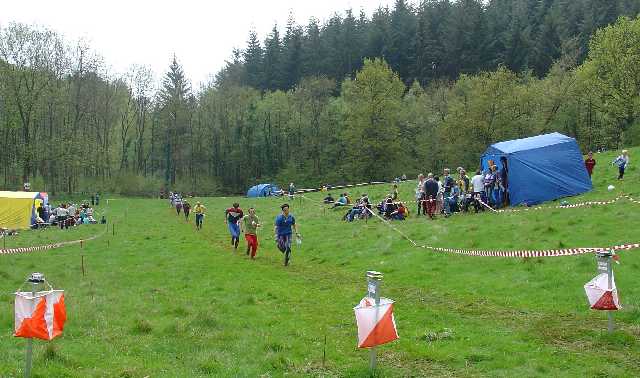
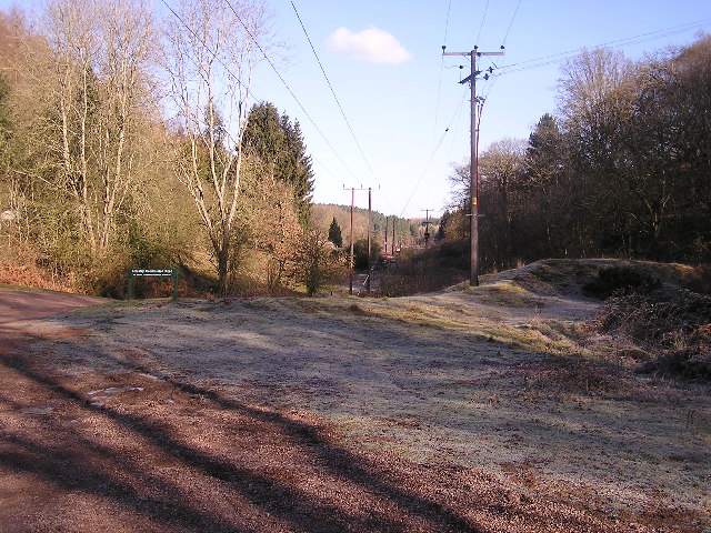
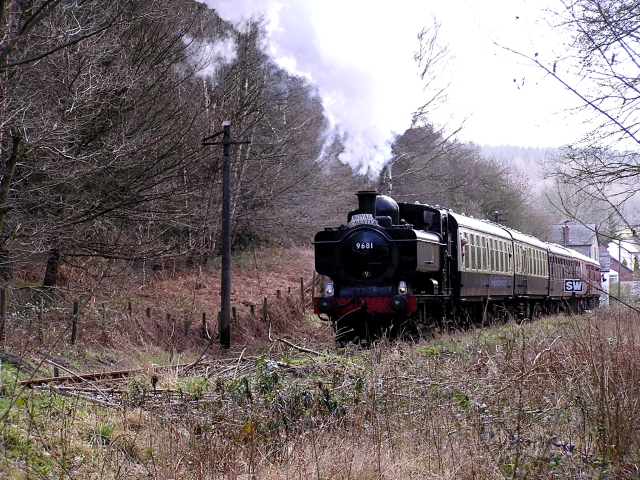
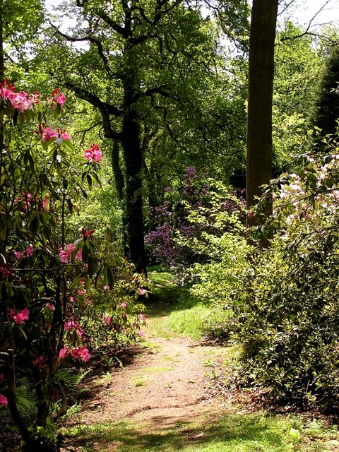
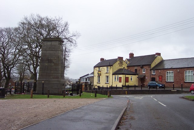
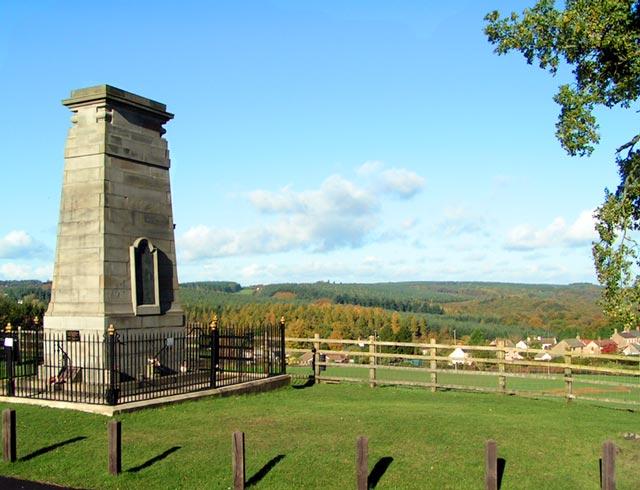
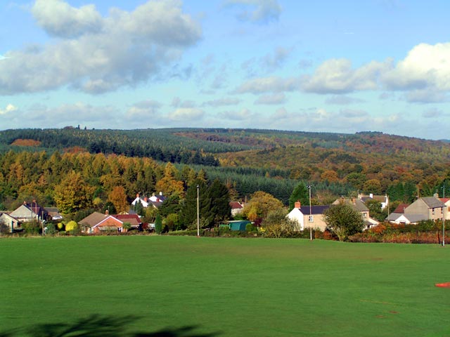
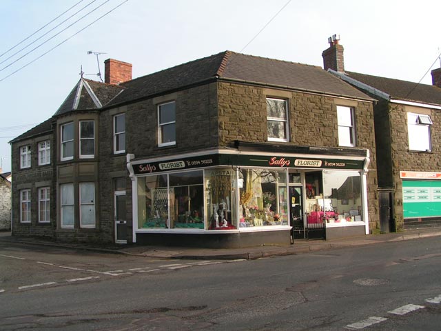
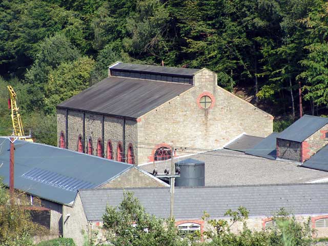
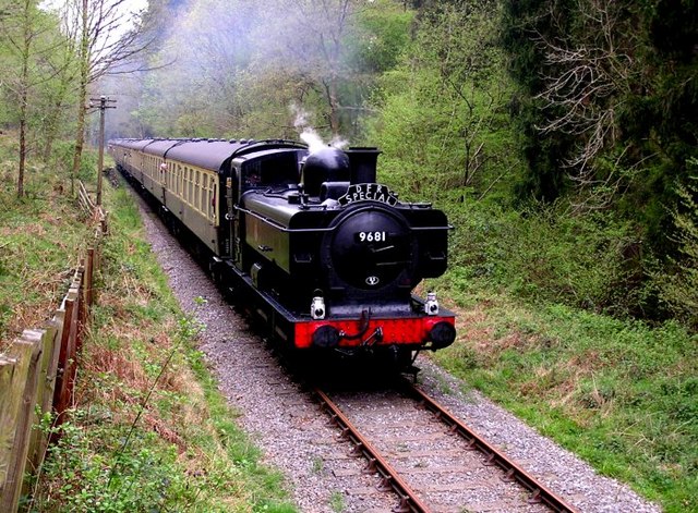
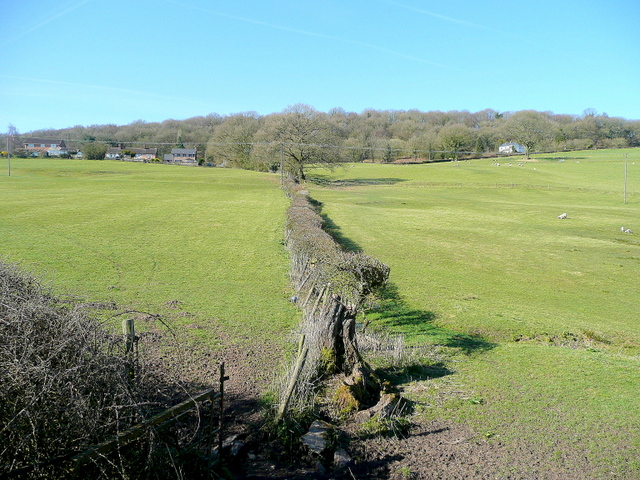
Brockhollands Images

Images are sourced within 2km of 51.74396/-2.55792 or Grid Reference SO6105. Thanks to Geograph Open Source API. All images are credited.

Finish at British Orienteering Championships race, Lydney Park, Lydney, Glos. The British Orienteering Championships took place at Lydney Park in the Forest of Dean in 2004. The finish for the individual day race was in this field, which runs along a valley bottom. The orienteering took place in the mixed woodland surrounding the valley.
Finish at British Orienteering Championships race, Lydney Park, Lydney, Glos.
The British Orienteering Championships took place at Lydney Park in the Forest of Dean in 2004. The finish for the individual day race was in this field, which runs along a valley bottom. The orienteering took place in the mixed woodland surrounding the valley.
Norchard Station, Dean Forest Railway
Power lines through the forest Looking towards the North West.
Power lines through the forest
Looking towards the North West.
Steaming to Parkend Picture taken on only the second weekend since passenger trains returned to the Parkend stretch of the Dean Forest Railway. Originally this was part of the railway line that ran from Lydney to Lydbrook Junction.
Steaming to Parkend
Picture taken on only the second weekend since passenger trains returned to the Parkend stretch of the Dean Forest Railway. Originally this was part of the railway line that ran from Lydney to Lydbrook Junction.
Lydney Park Gardens Lydney Park Gardens is open in spring and has many rhododendrons, azaleas and magnolias.
Lydney Park Gardens
Lydney Park Gardens is open in spring and has many rhododendrons, azaleas and magnolias.
Road junction in the forest. Not a great geograph; I'm afraid it was one of my early ones. Sorry.
Road junction in the forest.
Not a great geograph; I'm afraid it was one of my early ones. Sorry.
Bream War Memorial. The yellow pub is the Rising Sun.
Bream War Memorial.
The yellow pub is the Rising Sun.
Gate and pasture to the south of Whitecross The nonchalant-looking sheep seems unimpressed with its imminent appearance in a Geograph!
Gate and pasture to the south of Whitecross
The nonchalant-looking sheep seems unimpressed with its imminent appearance in a Geograph!
Country lane near Whitecross This is the scene being contemplated by the sheep in picture <a href="https://www.geograph.org.uk/photo/289720">SO6105 : Gate and pasture to the south of Whitecross</a>
Country lane near Whitecross
This is the scene being contemplated by the sheep in picture SO6105 : Gate and pasture to the south of Whitecross
Level crossing at Whitecroft Looking west down Pillowell Road, past the post office on the right.
Level crossing at Whitecroft
Looking west down Pillowell Road, past the post office on the right.
Factory in the Forest. Vencel Resin Limited which makes insulating products for the building industry.
Factory in the Forest.
Vencel Resin Limited which makes insulating products for the building industry.
The B4234 proceeding south towards Lydney
Bream Cenotaph Bream Cenotaph. The names of those who died in World War II are commemorated on the tablet. Those who died in World War I are listed on the North face.
Bream Cenotaph
Bream Cenotaph. The names of those who died in World War II are commemorated on the tablet. Those who died in World War I are listed on the North face.
Sun Green, Bream Most of Sun Green is now covered by the sports fields of Bream Sports Club. In the background are the hills of the Forest of Dean. To the right of the photographer is Bream Cenotaph SO 60306 05839.
Sun Green, Bream
Most of Sun Green is now covered by the sports fields of Bream Sports Club. In the background are the hills of the Forest of Dean. To the right of the photographer is Bream Cenotaph SO 60306 05839.
Manchester House at 'Bream Schools' Manchester House at 'Bream Schools', one of Bream's early shops - now Sally's Florist.
Manchester House at 'Bream Schools'
Manchester House at 'Bream Schools', one of Bream's early shops - now Sally's Florist.
What nature yields, nature re-claims Remains of a rail viaduct on the former Severn and Wye Railway 'Mineral Loop'.
What nature yields, nature re-claims
Remains of a rail viaduct on the former Severn and Wye Railway 'Mineral Loop'.
The Flour Mill The site of the former Flour Mill Colliery.
The Flour Mill
The site of the former Flour Mill Colliery.
Dean Forest Railway Pannier Tank 9681 heads the first train from the mainline to Parkend in 40 years.
Dean Forest Railway
Pannier Tank 9681 heads the first train from the mainline to Parkend in 40 years.
Show me another place!

Brockhollands is located at Grid Ref: SO6105 (Lat: 51.74396, Lng: -2.55792)

Administrative County: Gloucestershire

District: Forest of Dean

Police Authority: Gloucestershire

What 3 Words

///haircuts.workforce.sprouted. Near Bream, Gloucestershire

Related Wikis

Brockhollands

Brockhollands is a hamlet located in the Forest of Dean. It lies between the village of Bream and the town of Lydney in Gloucestershire. It is an obscure...

Dean Forest Railway

The Dean Forest Railway is a 4+1⁄4-mile (6.8 km) long heritage railway that runs between Lydney and Parkend in the Forest of Dean, Gloucestershire. The...

Whitecroft railway station

Whitecroft & Bream railway station is a railway station on the Dean Forest Railway. == History == The station originally opened on 23 September 1875, and...

West Dean, Gloucestershire

West Dean is a civil parish, situated in the Forest of Dean district of Gloucestershire, England. == History == The Forest of Dean was an extra-parochial...

Nearby Amenities

Located within 500m of 51.74396,-2.55792
Brockhollands
Place: hamlet
Source: OS_OpenData_StreetView
Wikidata: Q4972807
Lat/Long: 51.7449935/-2.5568755
The Tufts
Place: locality
Lat/Long: 51.7429733/-2.5532288
Power: pole
Lat/Long: 51.7462127/-2.5520104
Ford: yes
Lat/Long: 51.7423235/-2.5576498
Power: pole
Lat/Long: 51.7451951/-2.551167
Location Transition: yes
Power: pole
Lat/Long: 51.7430793/-2.5557536
Power: pole
Lat/Long: 51.7428833/-2.5574675
Power: pole
Lat/Long: 51.742694/-2.559329
Power: pole
Lat/Long: 51.7424897/-2.5611019
Power: pole
Lat/Long: 51.7423286/-2.5627005
Power: pole
Lat/Long: 51.7421558/-2.5643393
The data included in this document is from www.openstreetmap.org. The data is made available under ODbL.

Have you been to Brockhollands?

Leave your review of Brockhollands below (or comments, questions and feedback).