Flitch Green

Civil Parish in Essex Uttlesford

England

Flitch Green

St Andrew's, Parish Church Barnston
St Andrew's, Parish Church Barnston Credit: Trevor Harris

The requested URL returned error: 429 Too Many Requests

If you have any feedback on the listing, please let us know in the comments section below.
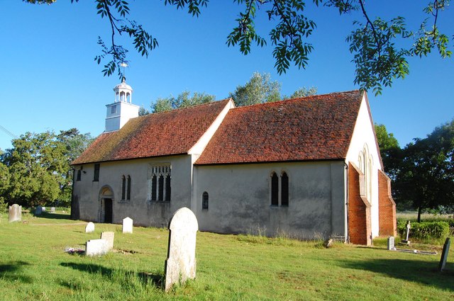
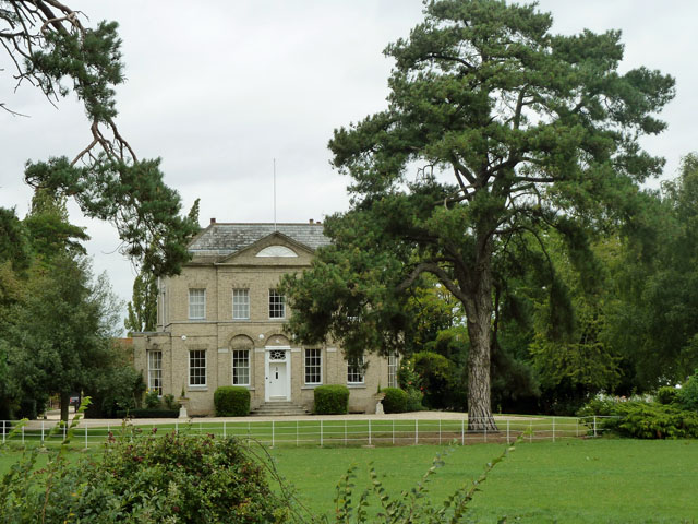
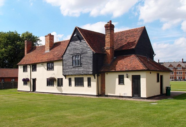
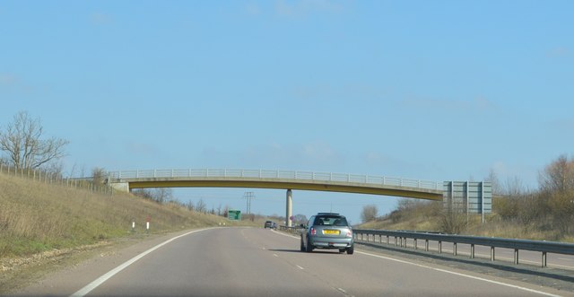
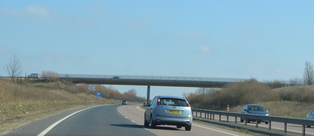
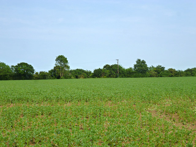
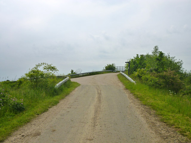
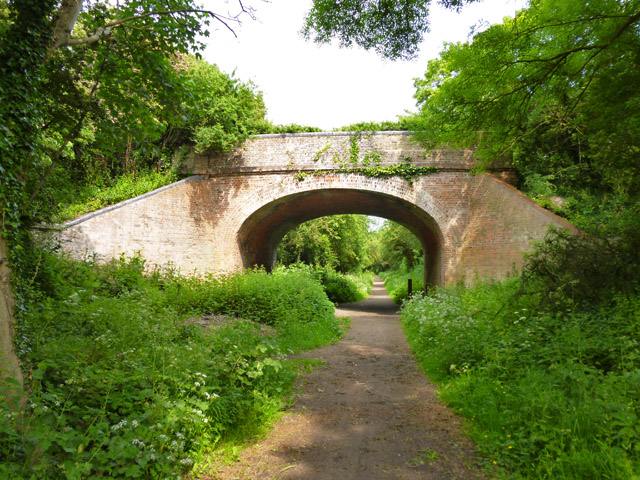
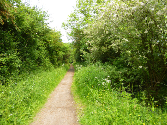
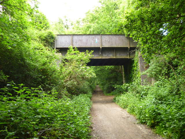
Flitch Green Images

Images are sourced within 2km of 51.860258/0.415648 or Grid Reference TL6620. Thanks to Geograph Open Source API. All images are credited.

St Andrew's, Parish Church Barnston
Barnston Lodge Clearly not the gatehouse sort of lodge, this Georgian country house is now used as a wedding venue.
Barnston Lodge
Clearly not the gatehouse sort of lodge, this Georgian country house is now used as a wedding venue.
Absol Bridge The bridge takes Mill Road over the River Chelmer.
Absol Bridge
The bridge takes Mill Road over the River Chelmer.
River Chelmer above Absol Bridge It is not a very impressive river this far up, but it is probably at about minimum flow for the year and could do with some weed clearance.
River Chelmer above Absol Bridge
It is not a very impressive river this far up, but it is probably at about minimum flow for the year and could do with some weed clearance.
River Chelmer below Absol Bridge It is noticeable how much less congested the channel is under the shade of trees where growth of water plants in inhibited. Trees bring their own blockage problems however, as may be seen.
River Chelmer below Absol Bridge
It is noticeable how much less congested the channel is under the shade of trees where growth of water plants in inhibited. Trees bring their own blockage problems however, as may be seen.
B1417 Chelmsford Road Towards Causeway End.
B1417 Chelmsford Road
Towards Causeway End.
Church of the Holy Cross, Felsted Grade I building, extensively described at this <span class="nowrap"><a title="http://list.historicengland.org.uk/resultsingle.aspx?uid=1112864" rel="nofollow ugc noopener" href="http://list.historicengland.org.uk/resultsingle.aspx?uid=1112864">Link</a><img style="margin-left:2px;" alt="External link" title="External link - shift click to open in new window" src="https://s1.geograph.org.uk/img/external.png" width="10" height="10"/></span>.
Church of the Holy Cross, Felsted
Grade I building, extensively described at this LinkExternal link.
"The Chequers" public house, Felstead
Felsted almshouses Grade II listed: description at this <span class="nowrap"><a title="http://list.historicengland.org.uk/resultsingle.aspx?uid=1112890" rel="nofollow ugc noopener" href="http://list.historicengland.org.uk/resultsingle.aspx?uid=1112890">Link</a><img style="margin-left:2px;" alt="External link" title="External link - shift click to open in new window" src="https://s1.geograph.org.uk/img/external.png" width="10" height="10"/></span>.
Felsted almshouses
Grade II listed: description at this LinkExternal link.
"The Folly", Felsted Grade II listed building, described at this <span class="nowrap"><a title="http://list.historicengland.org.uk/resultsingle.aspx?uid=1322258" rel="nofollow ugc noopener" href="http://list.historicengland.org.uk/resultsingle.aspx?uid=1322258">Link</a><img style="margin-left:2px;" alt="External link" title="External link - shift click to open in new window" src="https://s1.geograph.org.uk/img/external.png" width="10" height="10"/></span>.
"The Folly", Felsted
Grade II listed building, described at this LinkExternal link.
Felsted School Built in the late 1860s according to designs prepared by the architect Frederic Chancellor (1825-1918). Grade II listed: description at this <span class="nowrap"><a title="http://list.historicengland.org.uk/resultsingle.aspx?uid=1112889" rel="nofollow ugc noopener" href="http://list.historicengland.org.uk/resultsingle.aspx?uid=1112889">Link</a><img style="margin-left:2px;" alt="External link" title="External link - shift click to open in new window" src="https://s1.geograph.org.uk/img/external.png" width="10" height="10"/></span>.
Felsted School
Built in the late 1860s according to designs prepared by the architect Frederic Chancellor (1825-1918). Grade II listed: description at this LinkExternal link.
Footbridge, A120 The A120 is a trunk road that runs east-west across East Anglia from Harwich to Puckeridge, 63 miles in length. It follows the route of the Roman Road, Stane Street. <span class="nowrap"><a title="http://www.sabre-roads.org.uk/wiki/index.php?title=A120" rel="nofollow ugc noopener" href="http://www.sabre-roads.org.uk/wiki/index.php?title=A120">Link</a><img style="margin-left:2px;" alt="External link" title="External link - shift click to open in new window" src="https://s1.geograph.org.uk/img/external.png" width="10" height="10"/></span>
Footbridge, A120
The A120 is a trunk road that runs east-west across East Anglia from Harwich to Puckeridge, 63 miles in length. It follows the route of the Roman Road, Stane Street. LinkExternal link
Station Road Bridge, A120 The A120 is a trunk road that runs east-west across East Anglia from Harwich to Puckeridge, 63 miles in length. It follows the route of the Roman Road, Stane Street. <span class="nowrap"><a title="http://www.sabre-roads.org.uk/wiki/index.php?title=A120" rel="nofollow ugc noopener" href="http://www.sabre-roads.org.uk/wiki/index.php?title=A120">Link</a><img style="margin-left:2px;" alt="External link" title="External link - shift click to open in new window" src="https://s1.geograph.org.uk/img/external.png" width="10" height="10"/></span>
Station Road Bridge, A120
The A120 is a trunk road that runs east-west across East Anglia from Harwich to Puckeridge, 63 miles in length. It follows the route of the Roman Road, Stane Street. LinkExternal link
A field of beans Between the new and old A120, the latter, the ancient Stane Street, now B1256.
A field of beans
Between the new and old A120, the latter, the ancient Stane Street, now B1256.
Grange Lane near the A120 The lane ramps up to a farm and footpath bridge over the A120, but itself turns left and after a short distance degenerates to a public byway through to Great Dunmow.
Grange Lane near the A120
The lane ramps up to a farm and footpath bridge over the A120, but itself turns left and after a short distance degenerates to a public byway through to Great Dunmow.
Old railway bridge, Little Dunmow Brook Lane crosses the former Bishop's Stortford - Braintree railway, now a cycle path.
Old railway bridge, Little Dunmow
Brook Lane crosses the former Bishop's Stortford - Braintree railway, now a cycle path.
The Flitch Way The former Bishop's Stortford - Braintree railway, now a cycle path.
The Flitch Way
The former Bishop's Stortford - Braintree railway, now a cycle path.
Old railway bridge The former Bishop's Stortford - Braintree railway crosses a byway. The Flitch Way cycle path, mostly using the railway route, does not cross here, but ramps down from the embankment on the other side of the bridge. It then passes under the bridge and uses the byway for the rest of the way into Great Dunmow.
Old railway bridge
The former Bishop's Stortford - Braintree railway crosses a byway. The Flitch Way cycle path, mostly using the railway route, does not cross here, but ramps down from the embankment on the other side of the bridge. It then passes under the bridge and uses the byway for the rest of the way into Great Dunmow.
Show me another place!

Flitch Green is located at Grid Ref: TL6620 (Lat: 51.860258, Lng: 0.415648)

Administrative County: Essex

District: Uttlesford

Police Authority: Essex

What 3 Words

///somewhere.birds.soft. Near Little Dunmow, Essex

Nearby Locations

Flitch Green

Related Wikis

Flitch Green

Flitch Green is a civil parish in the Uttlesford district of Essex, England. It consists of a housing development built outside the village of Little Dunmow...

Felsted railway station

Felsted railway station was located in Essex between Felsted and Little Dunmow. The station was 11 miles 61 chains (18.93 km) from Bishop's Stortford on...

Little Dunmow Priory

Little Dunmow Priory in Little Dunmow was an Augustinian priory in Essex, England. The priory was founded as a church by Juga de Baynard in 1104, dedicated...

Little Dunmow

Little Dunmow is a village situated in the Uttlesford district, in rural Essex, England, in the vale of the River Chelmer about 3 miles (4.8 km) east-southeast...

Nearby Amenities

Located within 500m of 51.860258,0.415648
Bus Stop
Baynard Avenue
Bus: yes
Naptan AtcoCode: 1500FLSTDPRK
Naptan NaptanCode: esxatwpj
Naptan Verified: no
Public Transport: platform
Source: naptan_import
Lat/Long: 51.8633643/0.4184874
Bus Stop
Baynard Avenue
Bus: yes
Naptan AtcoCode: 1500FLSTDPYK
Naptan NaptanCode: esxgpwap
Physically Present: yes
Public Transport: platform
Source: naptan_import
Lat/Long: 51.8638402/0.4177779
Mini Roundabout
Lat/Long: 51.8598509/0.417709
Mini Roundabout
Direction: clockwise
Lat/Long: 51.8605002/0.4166846
Mini Roundabout
Direction: clockwise
Lat/Long: 51.8606915/0.4191919
Mini Roundabout
Lat/Long: 51.8589622/0.41447
Direction: both
Traffic Calming: table
Lat/Long: 51.8575251/0.4136265
Townhall
Community Hall
Lat/Long: 51.8583563/0.4180829
Mini Roundabout
Direction: clockwise
Lat/Long: 51.8610088/0.4123269
Direction: both
Traffic Calming: table
Lat/Long: 51.8627455/0.4149233
Mini Roundabout
Direction: clockwise
Lat/Long: 51.8600795/0.4130323
Mini Roundabout
Direction: clockwise
Lat/Long: 51.8629979/0.4168609
Flitch Green
Place: village
Lat/Long: 51.86027/0.4152799
Felsted
Historic Railway: station
Railway: site
Wikidata: Q5442626
Wikipedia: en:Felsted railway station
Lat/Long: 51.864684/0.4162672
Crossing
Lat/Long: 51.8603486/0.4186676
Crossing
Crossing: unmarked
Crossing Island: yes
Lat/Long: 51.8611798/0.4204959
Tanton Road
Naptan AtcoCode: 1500FLSTD01
Naptan BusStopType: CUS
Naptan NaptanCode: esxjdwpg
Naptan Verified: no
Public Transport: platform
Source: naptan
Lat/Long: 51.8622784/0.4194681
Barrier: yes
Lat/Long: 51.8599921/0.412053
Crossing
Crossing: unmarked
Crossing Island: no
Tactile Paving: yes
Lat/Long: 51.8607743/0.4190072
Crossing
Crossing: unmarked
Crossing Island: no
Tactile Paving: yes
Lat/Long: 51.860594/0.419047
Mini Roundabout
Lat/Long: 51.8617897/0.4130897
Access: no
Barrier: fence
Lat/Long: 51.8636684/0.4162714
Crossing
Crossing: unmarked
Lat/Long: 51.863177/0.4183848
Direction: both
Traffic Calming: table
Lat/Long: 51.8628621/0.4168279
Direction: both
Traffic Calming: table
Lat/Long: 51.858151/0.4132642
Direction: both
Traffic Calming: table
Lat/Long: 51.8588051/0.4129338
Direction: both
Traffic Calming: table
Lat/Long: 51.8575889/0.4139927
Direction: both
Traffic Calming: table
Lat/Long: 51.8584323/0.4154122
Direction: both
Traffic Calming: table
Lat/Long: 51.8590422/0.416914
Crossing
Lat/Long: 51.8592845/0.4175446
Direction: both
Traffic Calming: hump
Lat/Long: 51.8640548/0.4161538
Access: no
Barrier: fence
Lat/Long: 51.8591728/0.4151336
Direction: both
Traffic Calming: table
Lat/Long: 51.8636448/0.4140554
Direction: both
Traffic Calming: choker
Lat/Long: 51.8596445/0.4122694
Power: pole
Lat/Long: 51.8627577/0.4212811
The data included in this document is from www.openstreetmap.org. The data is made available under ODbL.

Have you been to Flitch Green?

Leave your review of Flitch Green below (or comments, questions and feedback).