Flagg
Civil Parish in Derbyshire Derbyshire Dales
England
Flagg

The requested URL returned error: 429 Too Many Requests
If you have any feedback on the listing, please let us know in the comments section below.
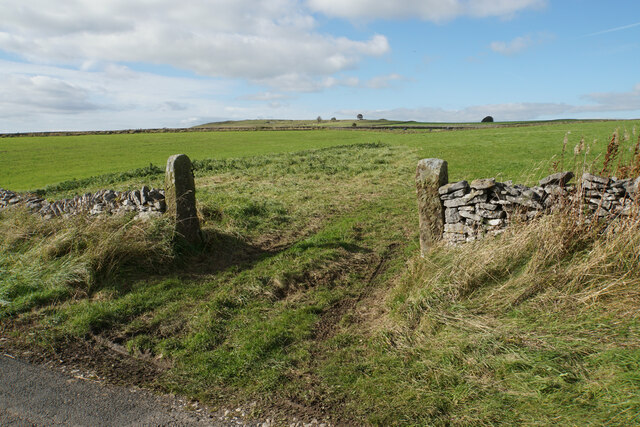
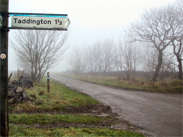
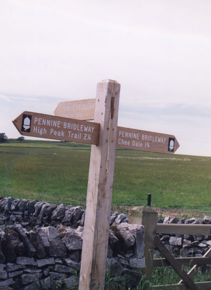
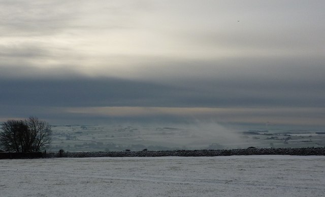
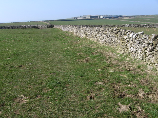
Flagg Images
Images are sourced within 2km of 53.213843/-1.803767 or Grid Reference SK1368. Thanks to Geograph Open Source API. All images are credited.


Flagg is located at Grid Ref: SK1368 (Lat: 53.213843, Lng: -1.803767)
Administrative County: Derbyshire
District: Derbyshire Dales
Police Authority: Derbyshire
What 3 Words
///covertly.dupe.pounding. Near Tideswell, Derbyshire
Nearby Locations
Related Wikis

Flagg, Derbyshire
Flagg (Old Norse A sod of peat) is a small Peak District village and civil parish, set in the Derbyshire Dales, halfway between the small market town...

White Peak
The White Peak, also known as the Low Peak, is a limestone plateau that forms the central and southern part of the Peak District in England. It is mostly...
Taddington Moor
Taddington Moor is a limestone hill between the villages of Taddington, Flagg and Chelmorton in the Derbyshire Peak District. The moor is an upland farming...

Chelmorton
Chelmorton is a village and a civil parish in Derbyshire, England. It is in the Derbyshire Dales district and the nearest towns are Buxton to the northwest...
Nearby Amenities
Located within 500m of 53.213843,-1.803767Have you been to Flagg?
Leave your review of Flagg below (or comments, questions and feedback).