Firbeck
Civil Parish in Yorkshire Rotherham
England
Firbeck

Firbeck is a civil parish located in the county of South Yorkshire, England. Situated in the district of Rotherham, the parish covers an area of approximately 2.5 square miles. It is a small village with a population of around 200 residents, offering a tranquil and rural environment.
The village of Firbeck is known for its rich historical heritage, particularly its association with the Dukes of Newcastle. Firbeck Hall, a grand country house, was built in the early 17th century by the first Duke of Newcastle and stands as a significant landmark in the area. Although the hall is now privately owned, its architectural beauty attracts visitors from far and wide.
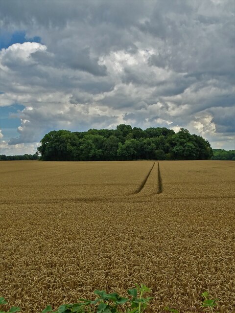
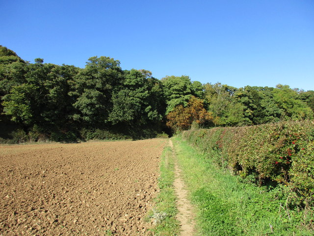
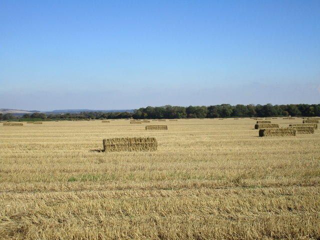
The parish also encompasses the adjacent hamlet of Letwell, which adds to the charm of the area. Together, Firbeck and Letwell boast a picturesque countryside, with rolling hills and scenic landscapes. The region is ideal for nature lovers and outdoor enthusiasts, offering numerous walking trails and paths to explore.
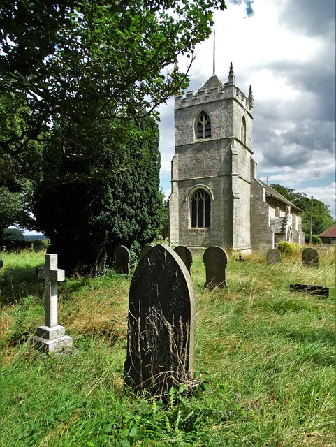
Firbeck remains a close-knit community, providing its residents with basic amenities such as a local church and a village hall. However, for more extensive facilities and services, the nearby towns of Worksop and Dinnington offer a wider range of options.
Overall, Firbeck, Yorkshire, is a quaint and historic civil parish that offers a peaceful and idyllic lifestyle for its residents, with its beautiful countryside and a rich historical backdrop.
If you have any feedback on the listing, please let us know in the comments section below.
Firbeck Images
Images are sourced within 2km of 53.389787/-1.156473 or Grid Reference SK5688. Thanks to Geograph Open Source API. All images are credited.


Firbeck is located at Grid Ref: SK5688 (Lat: 53.389787, Lng: -1.156473)
Division: West Riding
Administrative County: South Yorkshire
District: Rotherham
Police Authority: South Yorkshire
What 3 Words
///hothouse.heartless.crown. Near Dinnington, South Yorkshire
Nearby Locations
Related Wikis

RAF Firbeck
Royal Air Force Firbeck or more simply RAF Firbeck is a former Royal Air Force station located west of Firbeck, South Yorkshire, England. The airfield...
Firbeck
Firbeck is a village and civil parish in the Metropolitan Borough of Rotherham in South Yorkshire, England, on the border with Nottinghamshire. It lies...

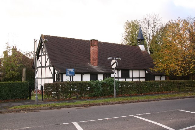
Letwell
Letwell is a rural village and civil parish in the Metropolitan Borough of Rotherham in South Yorkshire, England, on the border with Nottinghamshire. It...
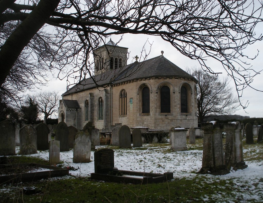
St Peter's Church, Letwell
St Peter's Church, Letwell, is a parish church of the Church of England in Letwell. == Background == The Church of St Peter is found at the west end of...

Stone, South Yorkshire
Stone is a hamlet in the civil parish of Maltby, in the Rotherham district lying to the south of Rotherham, South Yorkshire, England. Roche Abbey stands...

Roche Abbey
Roche Abbey is a now-ruined abbey in the civil parish of Maltby, Rotherham, South Yorkshire, England. It is in the valley of Maltby Dyke, known locally...
St Mark's Church, Oldcotes
St Mark's Church, Oldcotes is a Grade II listed parish church in the Church of England in Oldcotes. == History == The church was built around 1900 by Charles...
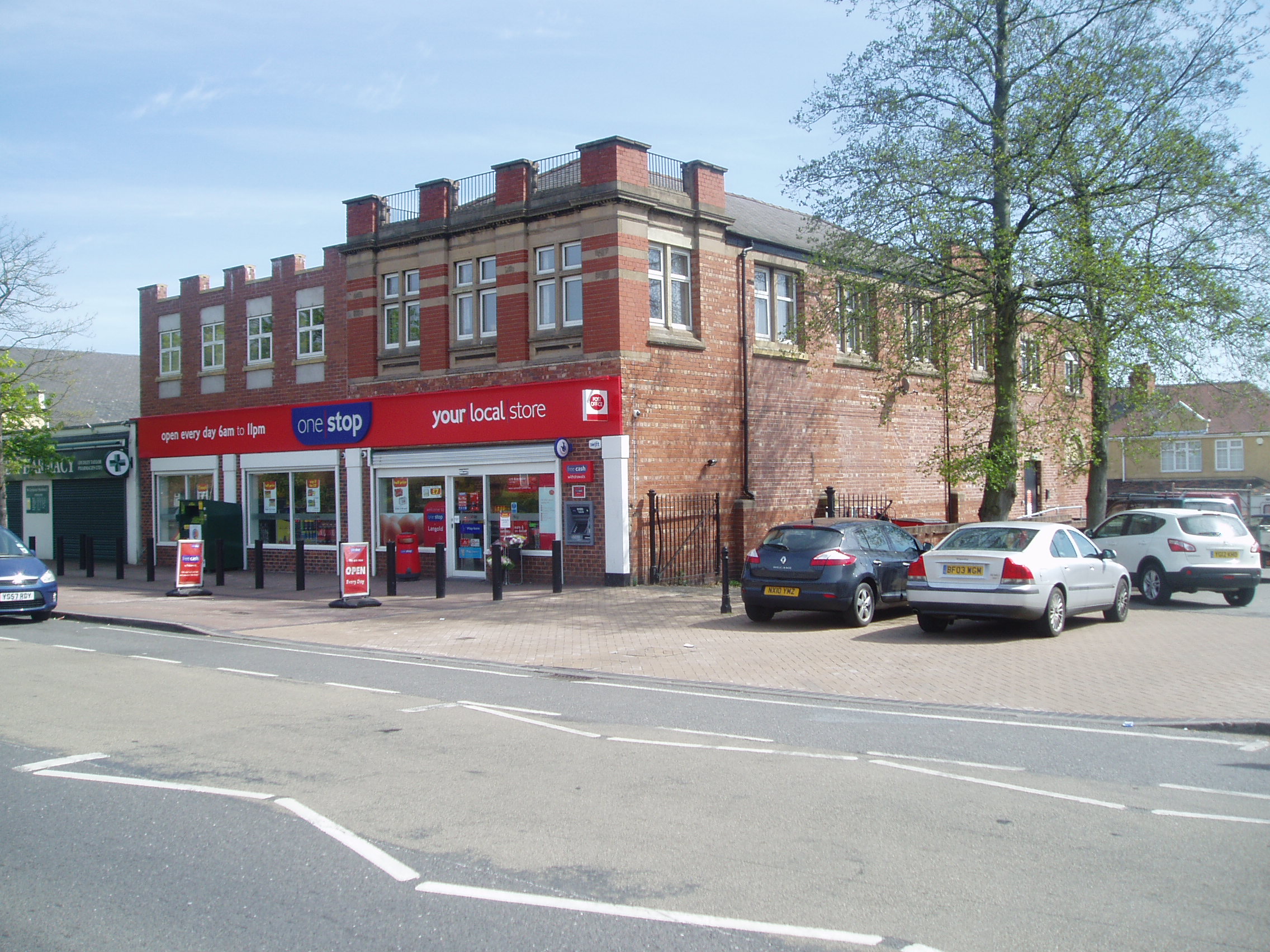
Langold
Langold is a village in the civil parish of Hodsock, in the Bassetlaw district, north Nottinghamshire, England. At the 2011 census it was defined as a...
Nearby Amenities
Located within 500m of 53.389787,-1.156473Have you been to Firbeck?
Leave your review of Firbeck below (or comments, questions and feedback).