Finghall
Civil Parish in Yorkshire Richmondshire
England
Finghall

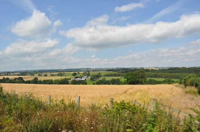
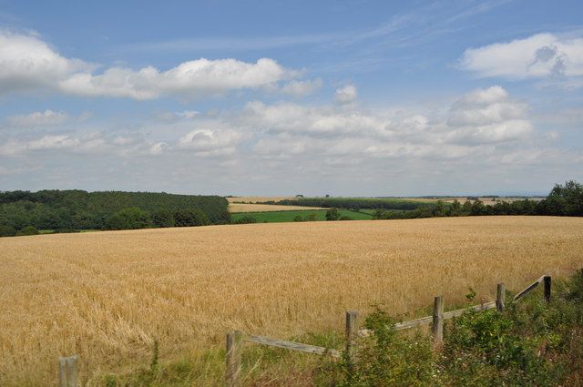
Finghall is a small village and civil parish located in the Richmondshire district of North Yorkshire, England. Situated approximately 5 miles west of the market town of Leyburn, it is nestled in the picturesque Yorkshire Dales National Park.
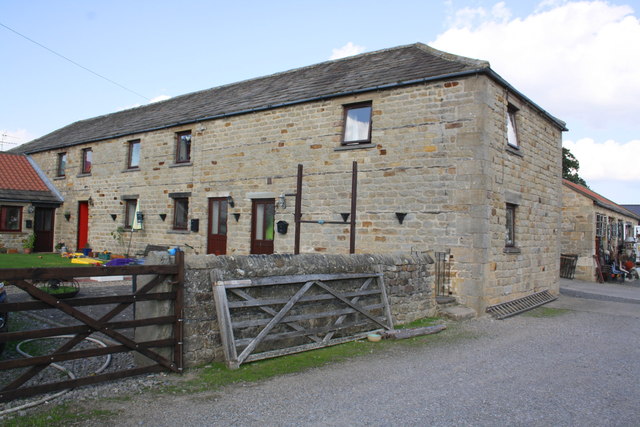
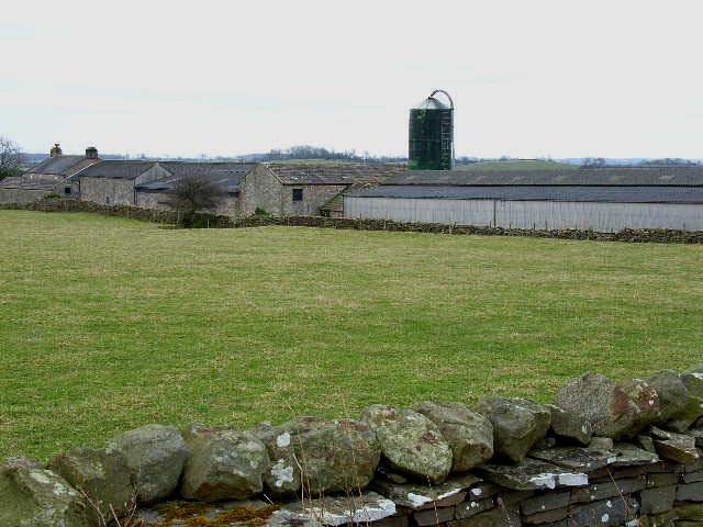
The village is known for its charming and tranquil atmosphere, with its traditional stone-built houses and narrow lanes adding to its rural appeal. Finghall is surrounded by rolling hills, green fields, and scenic countryside, making it an ideal destination for nature lovers and outdoor enthusiasts.
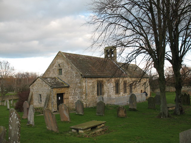
The village is home to a small but tight-knit community, with a population of around 150 residents. It has a rich history dating back to the medieval period, with several historical landmarks still standing today. One such landmark is the St. Andrew's Church, a Grade II listed building that boasts a beautiful 14th-century tower and stained glass windows.
Finghall also has a village hall, which serves as a hub for various community activities and events. The village is well-connected, with regular bus services providing access to nearby towns and villages.
For those looking to explore the area, Finghall offers easy access to the Yorkshire Dales, with its stunning landscapes, hiking trails, and scenic drives. The village is also within close proximity to attractions such as Bolton Castle, Aysgarth Falls, and the popular market town of Hawes.
In summary, Finghall is a picturesque village in the heart of the Yorkshire Dales, offering a peaceful retreat and a gateway to the natural beauty of the surrounding area.
If you have any feedback on the listing, please let us know in the comments section below.
Finghall Images
Images are sourced within 2km of 54.302869/-1.719836 or Grid Reference SE1889. Thanks to Geograph Open Source API. All images are credited.


Finghall is located at Grid Ref: SE1889 (Lat: 54.302869, Lng: -1.719836)
Division: North Riding
Administrative County: North Yorkshire
District: Richmondshire
Police Authority: North Yorkshire
What 3 Words
///manages.bonfires.pest. Near Leyburn, North Yorkshire
Nearby Locations
Related Wikis
Finghall
Finghall is a village and civil parish in North Yorkshire, England. == History == The village is mentioned in the Domesday Book as Fingall when it belonged...

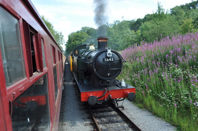
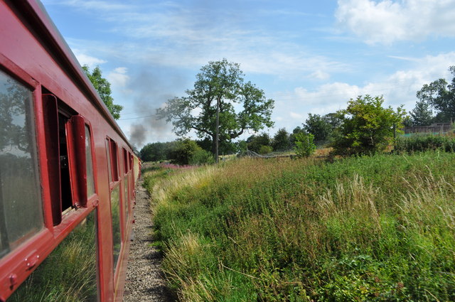
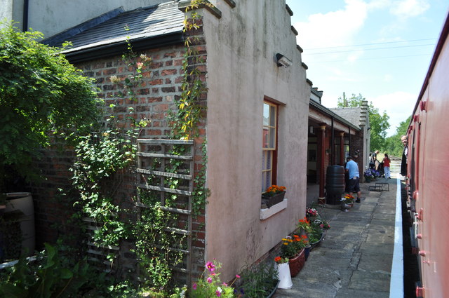
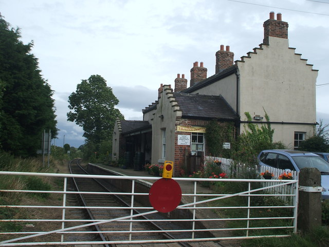
Finghall railway station
Finghall railway station is on the Wensleydale Railway and serves the village of Finghall in North Yorkshire, England. Adjacent to the station is a manually...

Akebar
Akebar is a township and civil parish in North Yorkshire, England, about eight miles south of Richmond. It consists of a caravan site, as well as several...

Unthank, North Yorkshire
Unthank is a former village near Constable Burton in North Yorkshire, England. The village survived until some time in the 19th century. The site is currently...
Hutton Hang
Hutton Hang is a hamlet and civil parish in the Richmondshire district of North Yorkshire, England. The population taken at the 2011 census was less than...

Thornton Steward Reservoir
Thornton Steward Reservoir is a reservoir north of the village of Thornton Steward in North Yorkshire, England. It is owned by Yorkshire Water, and supplies...

Constable Burton railway station
Constable Burton railway station is a disused railway station on the Wensleydale Railway, in North Yorkshire, England. It was built to serve Constable...

Constable Burton
Constable Burton is a village and civil parish in North Yorkshire, England. It is 3 miles (4.8 km) east of Leyburn. == History == The village takes its...
Nearby Amenities
Located within 500m of 54.302869,-1.719836Have you been to Finghall?
Leave your review of Finghall below (or comments, questions and feedback).