Ferndown Town

Civil Parish in Dorset East Dorset

England

Ferndown Town

Ferndown Industrial Estate Rebuilding fire-damaged warehousing on the Ferndown Industrial Estate.
Ferndown Industrial Estate Credit: Peter Kazmierczak

Ferndown Town is a civil parish located in the county of Dorset, England. Situated approximately 5 miles northwest of Bournemouth, it is part of the South East Dorset conurbation. The town has a population of around 27,000 residents.

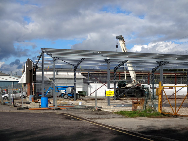
Ferndown Town is known for its peaceful suburban setting and offers a range of amenities and facilities to its residents. It is primarily a residential area, with a mix of housing types including detached houses, bungalows, and modern apartment complexes. The town has seen significant development in recent years, with new housing estates and infrastructure projects enhancing the area's appeal.

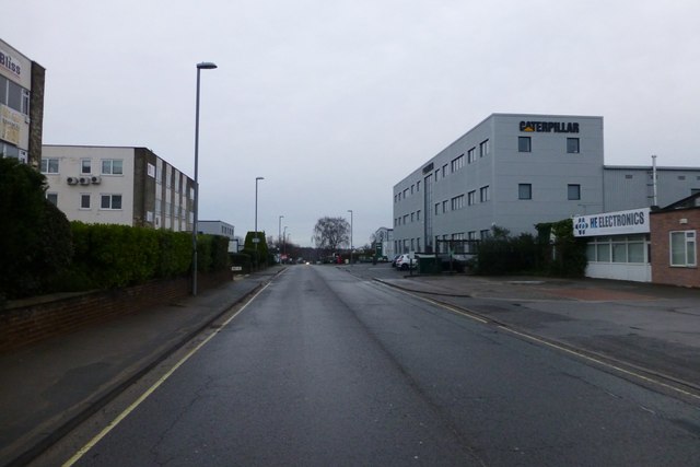
The town center features a variety of shops, supermarkets, and eateries, catering to the needs of its population. There are also several schools, including primary and secondary schools, serving the local community.

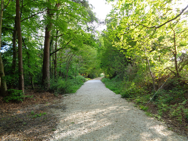
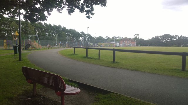
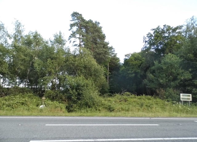
Ferndown Town boasts ample green spaces and recreational areas, with parks and playing fields providing opportunities for outdoor activities. The town is surrounded by beautiful countryside, including the nearby Ferndown Forest and the protected area of the Ferndown Common. These natural areas offer opportunities for walking, cycling, and wildlife spotting.

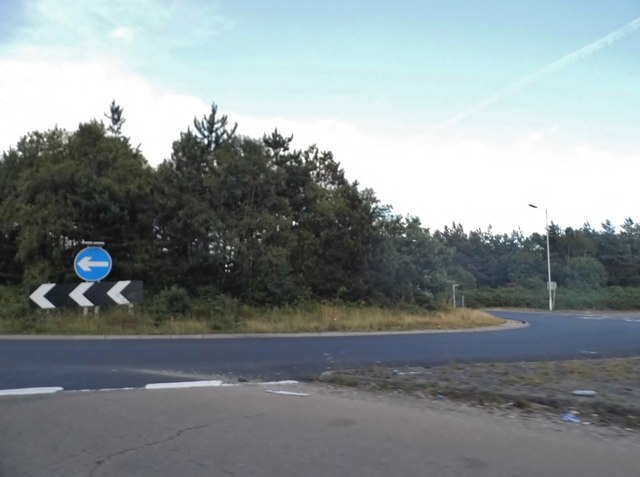
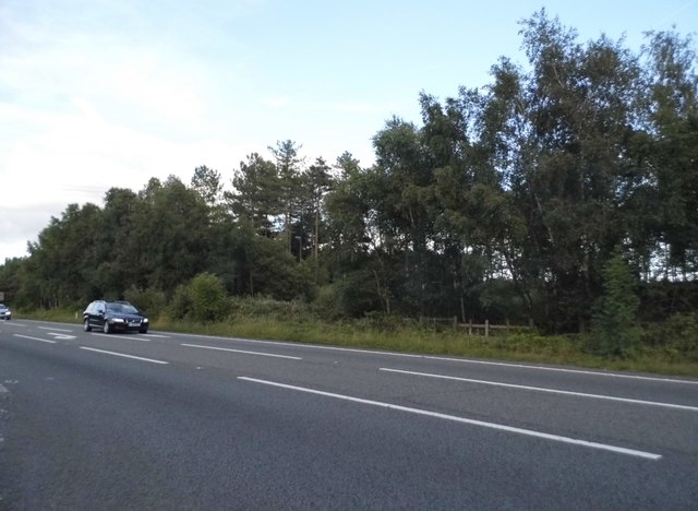
Transport links in Ferndown Town are well-established, with regular bus services connecting the town to nearby areas. The A31 road runs through the town, providing convenient access to Bournemouth, Poole, and other towns in the region. The nearest railway station is in nearby Bournemouth.

Overall, Ferndown Town provides a tranquil and family-friendly environment, with a range of amenities and easy access to surrounding areas, making it an attractive place to live in Dorset.

If you have any feedback on the listing, please let us know in the comments section below.

Ferndown Town Images

Images are sourced within 2km of 50.800907/-1.906113 or Grid Reference SU0600. Thanks to Geograph Open Source API. All images are credited.

Ferndown Industrial Estate Rebuilding fire-damaged warehousing on the Ferndown Industrial Estate.
Ferndown Industrial Estate
Rebuilding fire-damaged warehousing on the Ferndown Industrial Estate.
From Railway to Trailway This trailway was once part of the double-track mainline running from London Waterloo to Weymouth. Bicycles are now the only wheeled vehicles you'll see along here nowadays.
From Railway to Trailway
This trailway was once part of the double-track mainline running from London Waterloo to Weymouth. Bicycles are now the only wheeled vehicles you'll see along here nowadays.
St George's Playing Field This field lays at the heart of a zone of education, leisure and sports facilities.
St George's Playing Field
This field lays at the heart of a zone of education, leisure and sports facilities.
St George's Playing Field This playing field is surrounded by schools, a leisure centre, sports and play facilities and further playing fields.
St George's Playing Field
This playing field is surrounded by schools, a leisure centre, sports and play facilities and further playing fields.
Cobham Road, Ferndown Industrial Estate A grey road, on a grey day.
Cobham Road, Ferndown Industrial Estate
A grey road, on a grey day.
Bramley Road, Ferndown
Roundabout on the A31, Ferndown
Heathlands Lodge, Ferndown
Kia Motors on Wimborne Road East
Woods by the A31, Ferndown
The A31, Ferndown
The A31, Ferndown
Bungalow on West Moors Road, Ferndown
Signs on the A31, Ferndown
Roundabout on the A31, Ferndown
The A31, Ameysford
The A31, Ameysford
Wimborne Road East, Ferndown
Old Milepost by Wimborne Road, Wimborne Minster Cast iron post by the UC road, in parish of FERNDOWN TOWN (EAST DORSET District), Wimborne Road, East of bypass roundabout, by No. 210/212, by the road, on South side of road. Ringwood cast iron post (Trust), erected by the Ringwood, Longham & Leigh turnpike trust in the 19th century. 

Inscription reads:- : 2 / WIM- / BORNE : : RINGW'D / TRUST : : 7 / RING- / WOOD :

Milestone Society National ID: DO_WBRW02.
Old Milepost by Wimborne Road, Wimborne Minster
Cast iron post by the UC road, in parish of FERNDOWN TOWN (EAST DORSET District), Wimborne Road, East of bypass roundabout, by No. 210/212, by the road, on South side of road. Ringwood cast iron post (Trust), erected by the Ringwood, Longham & Leigh turnpike trust in the 19th century. Inscription reads:- : 2 / WIM- / BORNE : : RINGW'D / TRUST : : 7 / RING- / WOOD : Milestone Society National ID: DO_WBRW02.
Show me another place!

Ferndown Town is located at Grid Ref: SU0600 (Lat: 50.800907, Lng: -1.906113)

Administrative County: Dorset

District: East Dorset

Police Authority: Dorset

What 3 Words

///shows.orchestra.paused. Near Ferndown, Dorset

Nearby Locations

Ferndown Town

Related Wikis

Ferndown Common

Ferndown Common is a Site of Special Scientific Interest (SSSI) on the edge of Ferndown in Dorset, England. It is currently owned by the Wimborne Estate...

Ferndown Upper School

Ferndown Upper School is a comprehensive school and sixth form located in Ferndown, Dorset. Opened in 1972, it has grown to accommodate a broad and successful...

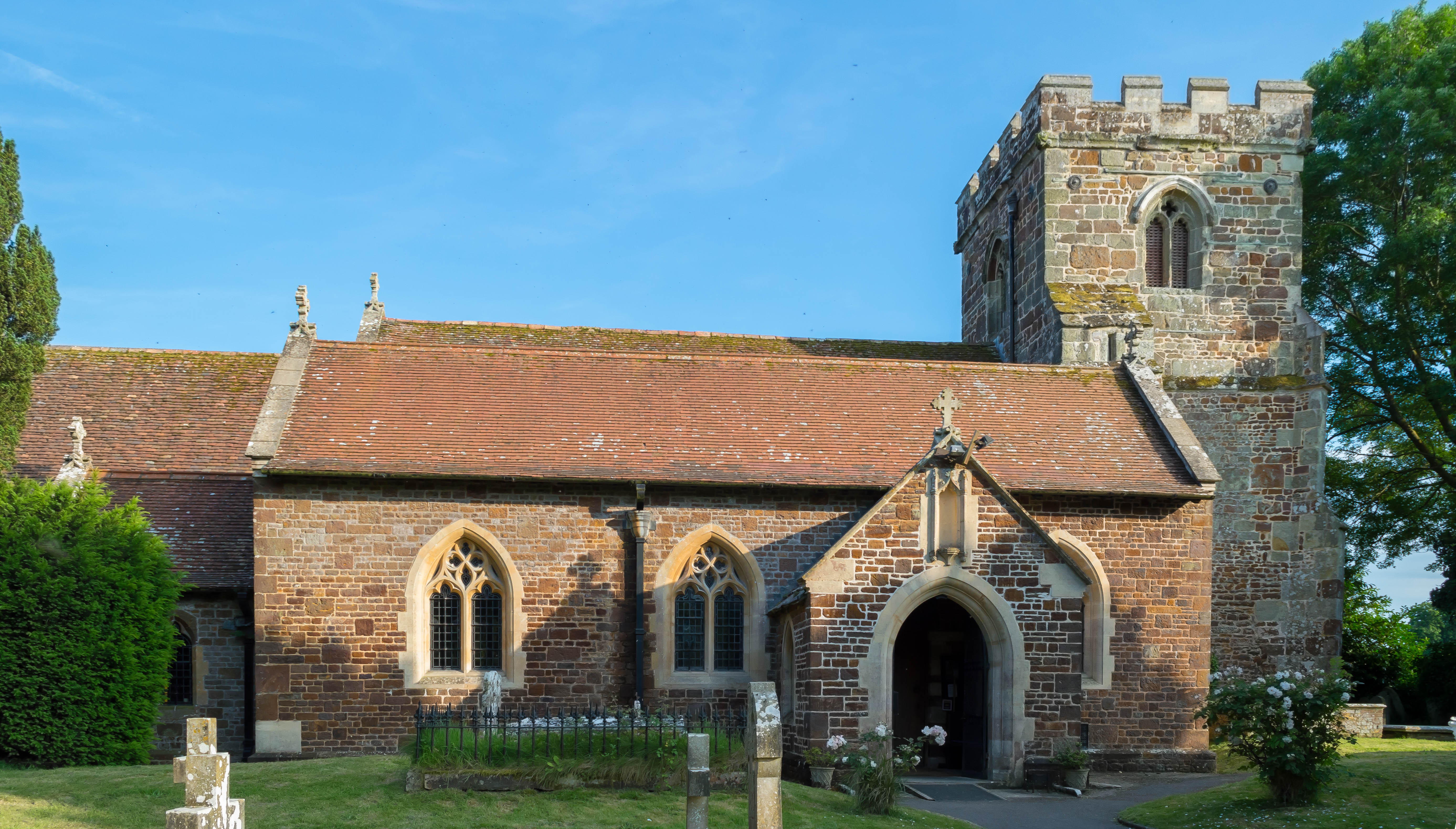
St Mary's Church, Ferndown

St Mary's Church is a Church of England parish church in the town of Ferndown, Dorset. == History == Building of the nave began in 1933, on land given...

Ferndown

Ferndown is a town and civil parish in Dorset in southern England, immediately to the north of Bournemouth and Poole. The parish, which until 1972 was...

Longham United Reformed Church

Longham United Reformed Church is a Grade II listed United Reformed church near Longham near Ferndown in Dorset, England. == History == The church was...

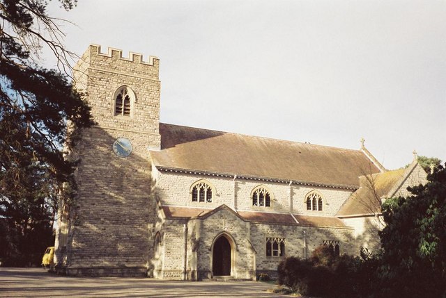
All Saints Church, Hampreston

All Saints Church is the parish church of Hampreston, Dorset, England. It is a Grade II* listed building. == History == The tower and nave were built in...

Hampreston

Hampreston is a small village in the civil parish of Ferndown in East Dorset, southern England. Before 1972, the whole parish took the name of Hampreston...

Ameysford

Ameysford is a suburb and electoral ward in Ferndown, Dorset, England.

Nearby Amenities

Located within 500m of 50.800907,-1.906113
Power: tower
Source: Bing
Lat/Long: 50.7977437/-1.9093414
Power: tower
Source: Bing
Lat/Long: 50.8041617/-1.909894
Power: tower
Source: Bing
Lat/Long: 50.8006968/-1.909615
Barrier: kissing_gate
Lat/Long: 50.8016997/-1.9035433
Barrier: kissing_gate
Lat/Long: 50.7998678/-1.9118582
Pompey's Corner
Fixme: not sure if still in use
Place: locality
Source Name: OS OpenData StreetView
Lat/Long: 50.7972419/-1.9088343
Poles: bipole
Power: pole
Source: bing
Lat/Long: 50.8048262/-1.9069004
Poles: bipole
Power: pole
Source: bing
Lat/Long: 50.803721/-1.9067127
Poles: bipole
Power: pole
Source: bing
Lat/Long: 50.8026158/-1.9065142
Poles: bipole
Power: pole
Source: bing
Lat/Long: 50.8014987/-1.9063371
Poles: bipole
Power: pole
Source: bing
Lat/Long: 50.800373/-1.9071338
Poles: bipole
Power: pole
Source: bing
Lat/Long: 50.7991965/-1.9079545
Poles: bipole
Power: pole
Source: bing
Lat/Long: 50.7980726/-1.9087431
Poles: bipole
Power: pole
Source: bing
Lat/Long: 50.7980997/-1.9103202
Barrier: kissing_gate
Foot: yes
Horse: no
Motor Vehicle: no
Lat/Long: 50.8027061/-1.9041529
The data included in this document is from www.openstreetmap.org. The data is made available under ODbL.

Have you been to Ferndown Town?

Leave your review of Ferndown Town below (or comments, questions and feedback).