Felmersham

Civil Parish in Bedfordshire

England

Felmersham

Bridge at Sharnbrook This bridge on Park Lane takes the road under the Midland Main Line.
Bridge at Sharnbrook Credit: Bob Walters

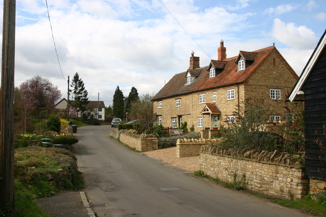
Felmersham is a civil parish located in the county of Bedfordshire, England. Situated on the banks of the River Great Ouse, it is a picturesque village that offers a charming rural setting. The parish covers an area of approximately 8 square kilometers and is home to a population of around 600 residents.

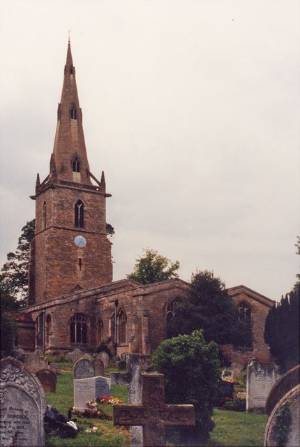
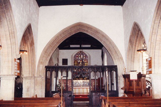
The village of Felmersham has a rich history, with evidence of human settlement dating back to the Roman period. Throughout the centuries, it has evolved into a tight-knit community that prides itself on its heritage. The village is known for its well-preserved medieval church, St. Mary's, which dates back to the 13th century. This historic landmark is a focal point of the community and attracts visitors from near and far.

In terms of amenities, Felmersham offers a range of facilities to its residents. There is a primary school, providing education for children up to the age of 11, and a village hall that serves as a hub for community events and activities. The village also has a local pub, The Sun Inn, which offers a warm and welcoming atmosphere for locals and visitors alike.

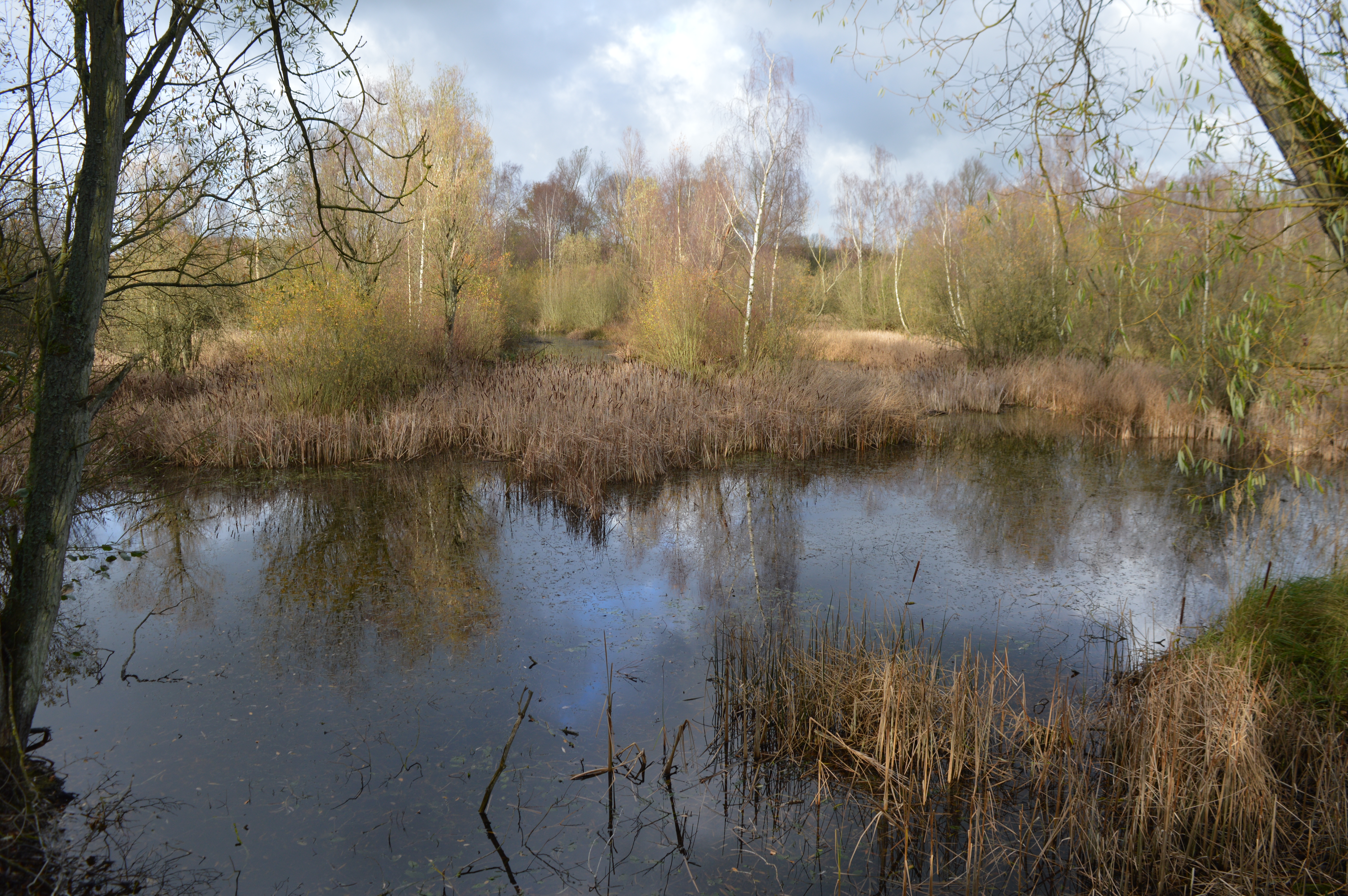
Nature enthusiasts will find plenty to explore in Felmersham, as it is surrounded by beautiful countryside and offers access to the River Great Ouse. The river provides opportunities for boating, fishing, and scenic walks along its banks, making it a popular destination for outdoor enthusiasts.

Overall, Felmersham is a tranquil and picturesque village that combines its rich history with a close-knit community spirit. It offers a peaceful and idyllic setting for residents and visitors to enjoy the beauty of rural England.

If you have any feedback on the listing, please let us know in the comments section below.

Felmersham Images

Images are sourced within 2km of 52.212419/-0.531155 or Grid Reference TL0058. Thanks to Geograph Open Source API. All images are credited.

Bridge at Sharnbrook This bridge on Park Lane takes the road under the Midland Main Line.
Bridge at Sharnbrook
This bridge on Park Lane takes the road under the Midland Main Line.
Felmersham Causeway This ford is created when the Ouse is in flood.
Felmersham Causeway
This ford is created when the Ouse is in flood.
In Deadmans Spinney
In Deadmans Spinney
Farmland towards Greenacres
St Peter, Sharnbrook
St Peter, Sharnbrook - East end
Entrance to Sharnbrook
Felmersham bridge The bridge is early C19. The water level here is quite high. See <span class="nowrap"><a title="http://www.carltonwithchellington.co.uk/village_history.htm" rel="nofollow ugc noopener" href="http://www.carltonwithchellington.co.uk/village_history.htm">Link</a><img style="margin-left:2px;" alt="External link" title="External link - shift click to open in new window" src="https://s1.geograph.org.uk/img/external.png" width="10" height="10"/></span> for a much lower level of water.
Felmersham bridge
The bridge is early C19. The water level here is quite high. See LinkExternal link for a much lower level of water.
St Mary's church, Felmersham The church was originally built in C13. There were some alterations in C15 and restoration was carried out in C19.
St Mary's church, Felmersham
The church was originally built in C13. There were some alterations in C15 and restoration was carried out in C19.
Looking east up the River Great Ouse from the Felmersham Bridge
Sharnbrook
Sharnbrook
Felmersham bridge & River Ouse
St Mary, Felmersham - south-east elevation The church dates from c1220-1240. It is an elegant building and in places has the proportions if not the size of a cathedral. How such a church came to be built in this remote part of north Bedfordshire needs explanation.
St Mary, Felmersham - south-east elevation
The church dates from c1220-1240. It is an elegant building and in places has the proportions if not the size of a cathedral. How such a church came to be built in this remote part of north Bedfordshire needs explanation.
St Mary, Felmersham - north elevation
St Mary, Felmersham - west front Pevsner says of St Mary that it "was built at one go between about 1220 and 1230 or 1240, and it has a classicity and harmony - which rare indeed for the English C13 - includes even the W front". (And the rest of the church is pretty impressive too.)
St Mary, Felmersham - west front
Pevsner says of St Mary that it "was built at one go between about 1220 and 1230 or 1240, and it has a classicity and harmony - which rare indeed for the English C13 - includes even the W front". (And the rest of the church is pretty impressive too.)
St Mary, Felmersham - west crossing arch Four massive but delicate arches like this support the central tower of the church.
St Mary, Felmersham - west crossing arch
Four massive but delicate arches like this support the central tower of the church.
Grange Road, Felmersham
The High Road, Felmersham Taken at the junction with Grange Road.
The High Road, Felmersham
Taken at the junction with Grange Road.
Show me another place!

Felmersham is located at Grid Ref: TL0058 (Lat: 52.212419, Lng: -0.531155)

Unitary Authority: Bedford

Police Authority: Bedfordshire

What 3 Words

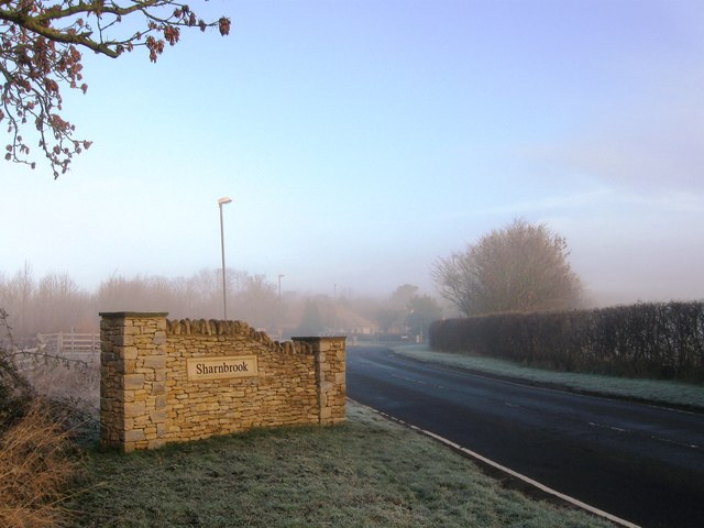
///recoup.tolerable.stems. Near Sharnbrook, Bedfordshire

Nearby Locations

Felmersham

Related Wikis

Radwell Manor Railway

The Radwell Manor Railway was a 10+1⁄4 in (260 mm) gauge miniature railway situated in the village of Radwell, near Felmersham, in North Bedfordshire,...

Sharnbrook

Sharnbrook is a village and civil parish located in the Borough of Bedford in Bedfordshire, England, situated around 7 miles (11 km) north-west of Bedford...

Radwell, Bedfordshire

Radwell is a hamlet in the Hundred of Willey in North Bedfordshire, England, on the River Great Ouse, about 7 miles (11 km) north west of Bedford. Administratively...

Felmersham Gravel Pits

Felmersham Gravel Pits is a 21.6-hectare (53-acre) Site of Special Scientific Interest between the villages of Felmersham and Sharnbrook in Bedfordshire...

Nearby Amenities

Located within 500m of 52.212419,-0.531155
The data included in this document is from www.openstreetmap.org. The data is made available under ODbL.

Have you been to Felmersham?

Leave your review of Felmersham below (or comments, questions and feedback).