Featherstone

Civil Parish in Staffordshire South Staffordshire

England

Featherstone

Former colliery railway - Hilton Main South of the Bognop Road level crossing.
Former colliery railway - Hilton Main Credit: John M

Featherstone is a civil parish located in Staffordshire, England. Situated approximately 5 miles south of Wolverhampton and 12 miles north of Stafford, it is a small yet vibrant community with a population of around 2,000 residents.

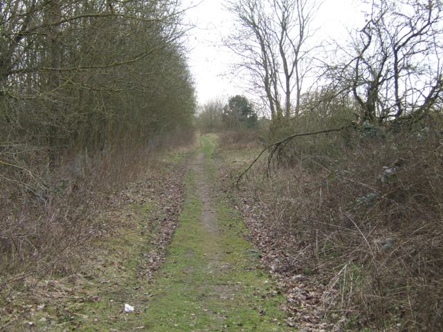
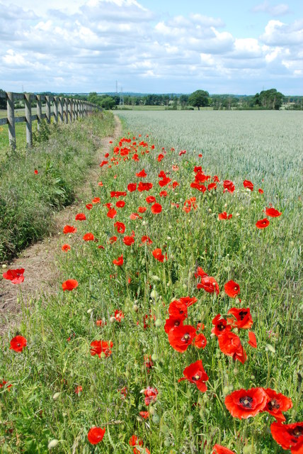
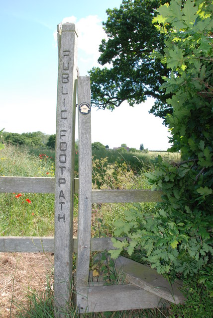
The parish is predominantly rural, characterized by picturesque countryside and rolling hills. It is bordered by the Shropshire Union Canal to the west, which offers opportunities for scenic walks and boating. The area is known for its natural beauty, featuring several nature reserves and green spaces, including Cannock Chase, the largest area of lowland heathland in the Midlands.

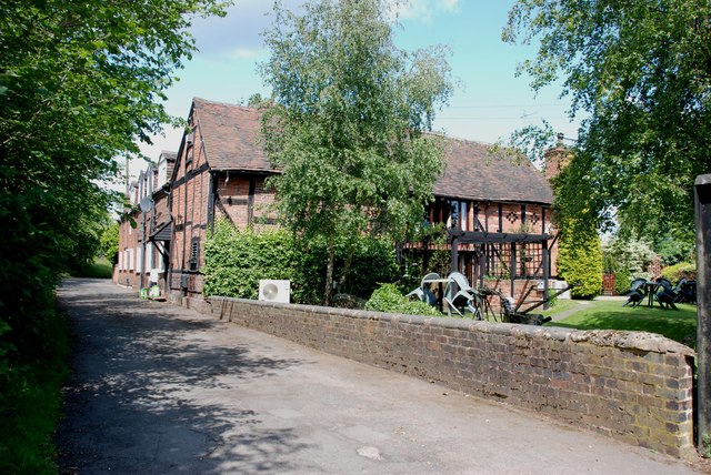
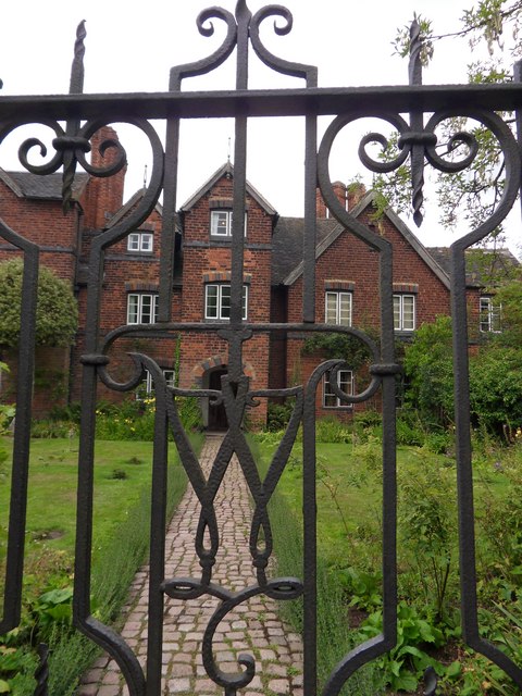
Featherstone has a rich history, with evidence of Iron Age settlements discovered in the surrounding area. The village itself dates back to medieval times, with some buildings dating back to the 16th century still standing today, adding to its charm and character.

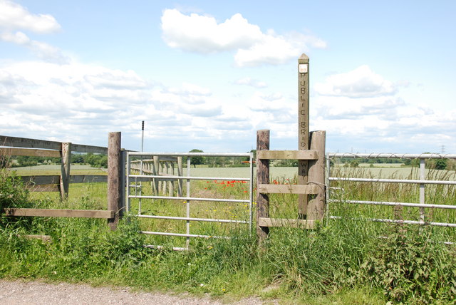
Despite its rural setting, Featherstone benefits from good transport links, with the M6 motorway passing nearby, providing easy access to major cities such as Birmingham and Manchester. The village is also served by regular bus services, connecting it to neighboring towns and villages.

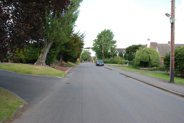
The community in Featherstone is close-knit and friendly, with a range of amenities to cater to residents' needs. These include a primary school, village hall, post office, local shops, and a pub. The parish also hosts various events and activities throughout the year, fostering a sense of community spirit.

Overall, Featherstone offers a peaceful and idyllic setting, making it an attractive place to live for those seeking a balance between rural serenity and convenient access to nearby urban centers.

If you have any feedback on the listing, please let us know in the comments section below.

Featherstone Images

Images are sourced within 2km of 52.644325/-2.102449 or Grid Reference SJ9305. Thanks to Geograph Open Source API. All images are credited.

Former colliery railway - Hilton Main South of the Bognop Road level crossing.
Former colliery railway - Hilton Main
South of the Bognop Road level crossing.
Former colliery railway - Hilton Main Looking across the level crossing on Bognop Road into the colliery site at Hilton Main.
Former colliery railway - Hilton Main
Looking across the level crossing on Bognop Road into the colliery site at Hilton Main.
HMP Oakwood (previously known as Featherstone 2) Work is progressing steadily on the new 1605 bed Category B prison near Wolverhampton. Completion is expected in April 2012. The three cell blocks will each house 480 inmates. The new prison will share the former Royal Ordnance Factory site with the existing HMP Featherstone Prison and Brinsford Young Offenders Institution.

The prison operated by G4S had the distinction of receiving the worst ever report by the HM Inspector of Prisons in October 2013.
HMP Oakwood (previously known as Featherstone 2)
Work is progressing steadily on the new 1605 bed Category B prison near Wolverhampton. Completion is expected in April 2012. The three cell blocks will each house 480 inmates. The new prison will share the former Royal Ordnance Factory site with the existing HMP Featherstone Prison and Brinsford Young Offenders Institution. The prison operated by G4S had the distinction of receiving the worst ever report by the HM Inspector of Prisons in October 2013.
Public Bridleway, Featherstone Lane
Bridleway from Featherstone Lane
Footpath from Featherstone Lane
Entrance to Featherstone Lane
Featherstone Farm Hotel, Featherstone
Cat and Kittens Lane, Featherstone This road runs between the former ordnance site near Featherstone and the M54, hence the road sign.
Cat and Kittens Lane, Featherstone
This road runs between the former ordnance site near Featherstone and the M54, hence the road sign.
Baneberry Drive, Featherstone
Church Road, Shareshill
Shareshill Post Office and Stores, Shareshill
Moseley Gate The front gated entrance to Moseley Old Hall.
Moseley Gate
The front gated entrance to Moseley Old Hall.
Moseley Wall Moseley Old Hall front elevation viewed from Moseley Old Hall Lane.
Moseley Wall
Moseley Old Hall front elevation viewed from Moseley Old Hall Lane.
Moseley Old Hall The Knot garden to the side elevation of Moseley Old Hall.
Moseley Old Hall
The Knot garden to the side elevation of Moseley Old Hall.
Behind Moseley Rear elevation of Moseley Old Hall.
Behind Moseley
Rear elevation of Moseley Old Hall.
Moseley Knot Knot garden to the side of Moseley Old Hall.
Moseley Knot
Knot garden to the side of Moseley Old Hall.
Moseley Old Hall Front elevation.
Moseley Old Hall
Front elevation.
Show me another place!

Featherstone is located at Grid Ref: SJ9305 (Lat: 52.644325, Lng: -2.102449)

Administrative County: Staffordshire

District: South Staffordshire

Police Authority: Staffordshire

What 3 Words

///unrealistic.vest.gifts. Near Featherstone, Staffordshire

Nearby Locations

Featherstone

Related Wikis

Brinsford Lodge

Brinsford Lodge was a hall of residence for The Polytechnic, Wolverhampton (now the University of Wolverhampton) from the mid-1960s to the early 1980s...
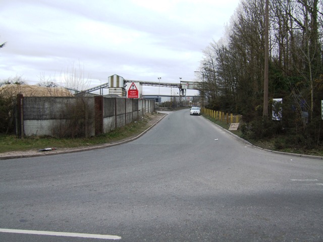
HM Prison Brinsford

HMP & YOI Prison Brinsford is an adult male Category B & C prison and Young Offenders Institution (YOI), located in the village of Featherstone (near Wolverhampton...

Featherstone, Staffordshire

Featherstone is a town in the district of South Staffordshire, England, near to the border with Wolverhampton. == History == Originally a farming community...

Moseley Old Hall

Moseley Old Hall is located in Fordhouses, north of Wolverhampton in the United Kingdom. It is notable as one of the hiding places of Charles II during...

HM Prison Featherstone

HM Prison Featherstone is a Category C men's prison, located in the village of Featherstone (near Wolverhampton), in Staffordshire, England. The prison...
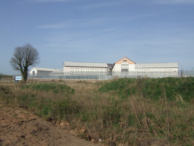
HM Prison Oakwood

HM Prison Oakwood is a Category C prison in Featherstone, Staffordshire, England. First opened in April 2012, the prison is operated by G4S and was primed...

Brinsford Parkway railway station

Brinsford Parkway is a proposed mainline railway station to the north of Wolverhampton, England. It has yet to be passed and is still in planning stages...

Wolverhampton Casuals F.C.

Wolverhampton Casuals Football Club are a football club based in Featherstone, near Wolverhampton, England. Established in 1899, they are currently members...

Nearby Amenities

Located within 500m of 52.644325,-2.102449
Traffic Calming: hump
Lat/Long: 52.6431753/-2.0963976
Bus Stop
Plover Close
Bus: yes
Naptan AtcoCode: 3800C614601
Naptan Bearing: N
Naptan CommonName: Plover Close
Naptan Indicator: Adj
Naptan Landmark: Plover Close
Naptan Street: Turnstone Drive
Naptan Verified: no
Public Transport: platform
Source: naptan_import
Lat/Long: 52.6438953/-2.0959593
Turning Circle
Lat/Long: 52.6454382/-2.0957195
Turning Circle
Lat/Long: 52.6458091/-2.097382
Turning Circle
Lat/Long: 52.6430332/-2.0959544
Turning Circle
Lat/Long: 52.6434187/-2.0981723
Turning Circle
Lat/Long: 52.6428839/-2.0990661
Turning Circle
Lat/Long: 52.6454117/-2.0968231
Generator Method: photovoltaic
Generator Output Electricity: yes
Generator Source: solar
Generator Type: solar_photovoltaic_panel
Location: roof
Power: generator
Lat/Long: 52.6420072/-2.0985362
Generator Method: photovoltaic
Generator Output Electricity: yes
Generator Source: solar
Generator Type: solar_photovoltaic_panel
Location: roof
Power: generator
Lat/Long: 52.6441799/-2.0953658
Generator Method: photovoltaic
Generator Output Electricity: yes
Generator Source: solar
Generator Type: solar_photovoltaic_panel
Location: roof
Power: generator
Lat/Long: 52.6446014/-2.0954382
Generator Method: photovoltaic
Generator Output Electricity: yes
Generator Source: solar
Generator Type: solar_photovoltaic_panel
Location: roof
Power: generator
Lat/Long: 52.6466308/-2.0966613
Generator Method: photovoltaic
Generator Output Electricity: yes
Generator Source: solar
Generator Type: solar_photovoltaic_panel
Location: roof
Power: generator
Lat/Long: 52.6458317/-2.0960712
Generator Method: photovoltaic
Generator Output Electricity: yes
Generator Source: solar
Generator Type: solar_photovoltaic_panel
Location: roof
Power: generator
Lat/Long: 52.6461442/-2.0961732
Generator Method: photovoltaic
Generator Output Electricity: yes
Generator Source: solar
Generator Type: solar_photovoltaic_panel
Location: roof
Power: generator
Lat/Long: 52.6460091/-2.0964575
Generator Method: photovoltaic
Generator Output Electricity: yes
Generator Source: solar
Generator Type: solar_photovoltaic_panel
Location: roof
Power: generator
Lat/Long: 52.6462418/-2.0967203
Generator Method: photovoltaic
Generator Output Electricity: yes
Generator Source: solar
Generator Type: solar_photovoltaic_panel
Location: roof
Power: generator
Lat/Long: 52.6452784/-2.097635
Generator Method: photovoltaic
Generator Output Electricity: yes
Generator Source: solar
Generator Type: solar_photovoltaic_panel
Location: roof
Power: generator
Lat/Long: 52.6438218/-2.0990753
Generator Method: photovoltaic
Generator Output Electricity: yes
Generator Source: solar
Generator Type: solar_photovoltaic_panel
Location: roof
Power: generator
Lat/Long: 52.6432115/-2.0977557
Generator Method: photovoltaic
Generator Output Electricity: yes
Generator Source: solar
Generator Type: solar_photovoltaic_panel
Location: roof
Power: generator
Lat/Long: 52.6435012/-2.0957011
Generator Method: photovoltaic
Generator Output Electricity: yes
Generator Source: solar
Generator Type: solar_photovoltaic_panel
Location: roof
Power: generator
Lat/Long: 52.6434898/-2.0954597
Power: pole
Source: bing
Lat/Long: 52.6403536/-2.1043539
Power: pole
Source: bing
Lat/Long: 52.6445054/-2.1038148
Power: pole
Source: bing
Lat/Long: 52.647573/-2.1019614
Power: pole
Source: bing
Lat/Long: 52.6464013/-2.1027151
Power: pole
Source: bing
Lat/Long: 52.6457911/-2.1031308
Power: pole
Source: bing
Lat/Long: 52.6451564/-2.1035358
Power: pole
Source: bing
Lat/Long: 52.6428291/-2.10356
Power: pole
Source: bing
Lat/Long: 52.6415808/-2.1035117
Power: pole
Source: bing
Lat/Long: 52.6485445/-2.1013364
Waterway: weir
Lat/Long: 52.6434917/-2.1059694
The data included in this document is from www.openstreetmap.org. The data is made available under ODbL.

Have you been to Featherstone?

Leave your review of Featherstone below (or comments, questions and feedback).