Fearby

Civil Parish in Yorkshire Harrogate

England

Fearby

Pasture to the South of Swinton Park As seen from the lane outside the perimeter of Swinton Park
Pasture to the South of Swinton Park Credit: Chris Heaton

Fearby is a civil parish located in the district of Harrogate, North Yorkshire, England. It is a small village situated within the picturesque Nidderdale Area of Outstanding Natural Beauty. The village is nestled in the rolling hills and lush green countryside, offering breathtaking views and a tranquil atmosphere.

Fearby has a rich history dating back to medieval times, and evidence of its past can be seen in the well-preserved architecture of its buildings. The village is characterized by traditional stone houses, many of which date back several centuries. The local church, St. Cuthbert's, is a prominent feature and showcases stunning architectural details.

Despite being a small village, Fearby offers a range of amenities for its residents and visitors. There is a village hall which hosts various community events and activities, contributing to a strong sense of community spirit. The local pub, The Black Swan, is a popular gathering spot for locals and visitors alike, offering a warm and friendly atmosphere.

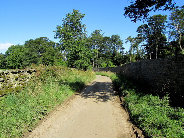
The surrounding countryside provides ample opportunities for outdoor activities, such as hiking, cycling, and birdwatching. The nearby Nidderdale Way, a long-distance footpath, passes through Fearby, making it an ideal base for exploring the beautiful Nidderdale landscape.

Fearby is conveniently located near the market town of Masham, which is just a short drive away. Masham offers additional amenities, including shops, cafes, and a weekly market.

Overall, Fearby is a charming and picturesque village, perfect for those seeking a peaceful retreat in the heart of the Yorkshire countryside.

If you have any feedback on the listing, please let us know in the comments section below.
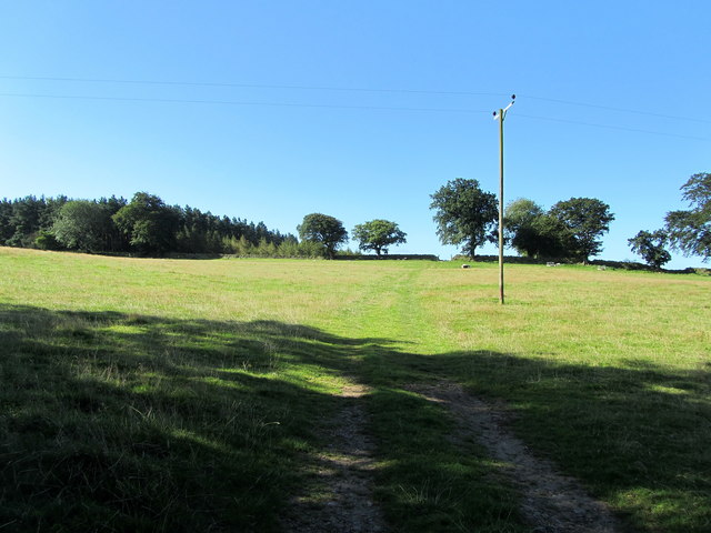
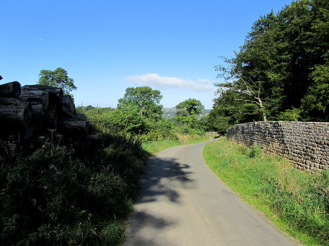
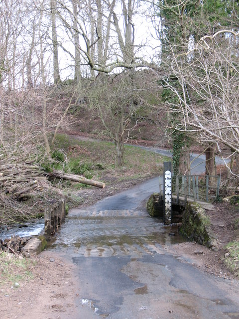
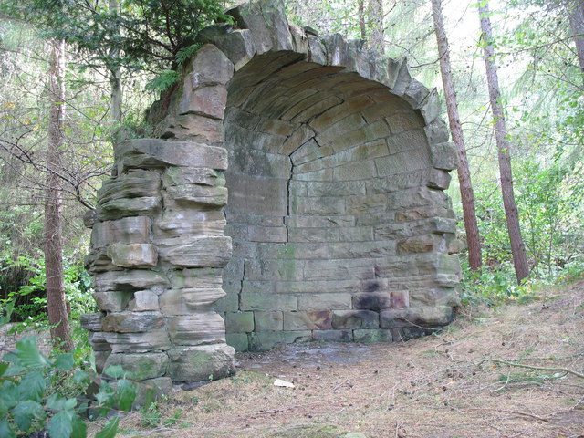
Fearby Images

Images are sourced within 2km of 54.22603/-1.698974 or Grid Reference SE1981. Thanks to Geograph Open Source API. All images are credited.

Pasture to the South of Swinton Park As seen from the lane outside the perimeter of Swinton Park
Pasture to the South of Swinton Park
As seen from the lane outside the perimeter of Swinton Park
Lane by the Perimeter of Swinton Park The park is surrounded by a very long perimeter wall, part of which is followed by this lane
Lane by the Perimeter of Swinton Park
The park is surrounded by a very long perimeter wall, part of which is followed by this lane
Bridge near Swinton Park over looking the River Burn
Bridge near Swinton Park
over looking the River Burn
Bridge with castellations near Swinton Park Bridge with castellations near Swinton Park
Bridge with castellations near Swinton Park
Ford and footbridge at Sole Beck This ford is on the minor road along the south side of the Burn valley near Swinton Park.
Ford and footbridge at Sole Beck
This ford is on the minor road along the south side of the Burn valley near Swinton Park.
Lane at edge of Swinton Park This lane follows the western boundary of Swinton Park as far as Warthermarske. Recent gales had brought down a large beech tree, blocking the road for several days.
Lane at edge of Swinton Park
This lane follows the western boundary of Swinton Park as far as Warthermarske. Recent gales had brought down a large beech tree, blocking the road for several days.
Stonefold Farm
Stonefold Farm
Ford and footbridge crossing Sole Beck, tributary of River Burn
Wall of Swinton Park, with cycling Byway sign
Stone Gazebo Curious structure once housed a seat overlooking the view up the valley of the River Burn. It was built "with grateful mind by William Danby Esq AD 1832"
Stone Gazebo
Curious structure once housed a seat overlooking the view up the valley of the River Burn. It was built "with grateful mind by William Danby Esq AD 1832"
Swinton Park Gazebo Tree cover has obscured the view from this folly known as The monkey house
Swinton Park Gazebo
Tree cover has obscured the view from this folly known as The monkey house
The River Burn Reflections in the Burn near Swinton.
The River Burn
Reflections in the Burn near Swinton.
Sole Beck This tributary of the River Burn has a man made bed for the last few metres of its course downstream from the ford.
Sole Beck
This tributary of the River Burn has a man made bed for the last few metres of its course downstream from the ford.
Lane outside Quarry House Narrow lane following the perimeter wall that encloses Swinton Park
Lane outside Quarry House
Narrow lane following the perimeter wall that encloses Swinton Park
Across the Burn valley The view northwards across the valley of the River Burn towards Healey.
Across the Burn valley
The view northwards across the valley of the River Burn towards Healey.
Quarry Gill Bridge Quarry Gill Bridge with Old Quarry Bridge Beneath

Grade: II
Date Listed: 9 August 1966
English Heritage Building ID: 325025

OS Grid Reference: SE1969079965
OS Grid Coordinates: 419690, 479965
Latitude/Longitude: 54.2150, -1.6996
Quarry Gill Bridge
Quarry Gill Bridge with Old Quarry Bridge Beneath Grade: II Date Listed: 9 August 1966 English Heritage Building ID: 325025 OS Grid Reference: SE1969079965 OS Grid Coordinates: 419690, 479965 Latitude/Longitude: 54.2150, -1.6996
Ford at Fearby Low Moor This ford on the Sole Beck is found at Fearby Low Moor.
Ford at Fearby Low Moor
This ford on the Sole Beck is found at Fearby Low Moor.
Fearby Low Moor Ford This  is another visit to this substantial ford. A link to a previous visit can be viewed at:
<a title="https://www.geograph.org.uk/photo/4341259" href="https://www.geograph.org.uk/photo/4341259">Link</a>
Fearby Low Moor Ford
This is another visit to this substantial ford. A link to a previous visit can be viewed at: Link
Show me another place!

Fearby is located at Grid Ref: SE1981 (Lat: 54.22603, Lng: -1.698974)

Division: North Riding

Administrative County: North Yorkshire

District: Harrogate

Police Authority: North Yorkshire

What 3 Words

///performed.thankful.keener. Near Masham, North Yorkshire

Nearby Locations

Fearby Fearby

Related Wikis

Fearby

Fearby is a village and civil parish in North Yorkshire, England. It is located in the valley of the River Burn 2 miles (3 km) west of Masham. Nearby settlements...

Colsterdale Light Railway

The Colsterdale Light Railway (CLR) was a narrow-gauge railway line in Colsterdale, North Yorkshire, England. It was built between 1903 and 1905 to allow...

Healey, North Yorkshire

Healey is a small village and civil parish in the Harrogate district of North Yorkshire, England. It is situated in the valley of the River Burn, to the...

Swinton Estate

The Swinton Estate is a large privately owned estate in North Yorkshire, England. It comprises some 20,000 acres (8,100 ha) of countryside in the Nidderdale...

Nearby Amenities

Located within 500m of 54.22603,-1.698974
Fearby
Is In: UK,Yorkshire,North Yorkshire
Place: hamlet
Population: 130
Wikipedia: en:En:Fearby
Lat/Long: 54.225165/-1.7040763
Telephone
Booth: K6
Covered: booth
Listed Status: Grade II
Lat/Long: 54.2249178/-1.7038918
Fearby Cross
Is In: UK,Yorkshire,North Yorkshire
Place: hamlet
Lat/Long: 54.2267956/-1.6972268
Bench
Lat/Long: 54.2252916/-1.7036426
Post Box
Post Box Type: lamp
Royal Cypher: EIIR
Royal Cypher Wikidata: Q33102113
Lat/Long: 54.2248956/-1.7039614
Power: pole
Lat/Long: 54.2217424/-1.6993056
Power: pole
Lat/Long: 54.2220523/-1.7003071
Power: pole
Lat/Long: 54.2223469/-1.7012468
Power: pole
Lat/Long: 54.2226682/-1.7022581
Power: pole
Lat/Long: 54.222999/-1.7033019
Power: pole
Lat/Long: 54.2233488/-1.704388
Parking
Lat/Long: 54.2268176/-1.6969885
The data included in this document is from www.openstreetmap.org. The data is made available under ODbL.

Have you been to Fearby?

Leave your review of Fearby below (or comments, questions and feedback).