Farington
Civil Parish in Lancashire South Ribble
England
Farington
Farington is a civil parish located in the county of Lancashire, England. Situated approximately 3 miles southeast of the town of Leyland, Farington covers an area of about 5 square miles. The parish is bordered by the River Lostock to the west and the M6 motorway to the east.
Farington is primarily a residential area, consisting of a mix of housing types including detached houses, semi-detached houses, and terraced houses. The majority of the properties were built in the 20th century, with some newer developments in recent years. The parish has a population of around 6,000 people.
The area is known for its strong community spirit, with several community groups and organizations actively involved in enhancing the quality of life for residents. Farington has a number of amenities, including a primary school, a community center, and several local shops and businesses.
Farington is well-connected to the surrounding areas. The M6 motorway runs nearby, providing easy access to cities such as Manchester and Liverpool. The nearby town of Leyland offers a wider range of amenities, including supermarkets, leisure facilities, and a train station with regular services to Preston and Manchester.
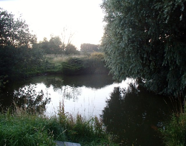
The parish is also blessed with natural beauty, with picturesque countryside and green spaces scattered throughout the area. Farington Moss, a local nature reserve, offers opportunities for outdoor activities and wildlife enthusiasts.
Overall, Farington is a thriving civil parish that offers a close-knit community, convenient amenities, and access to surrounding areas, making it an attractive place to live.
If you have any feedback on the listing, please let us know in the comments section below.
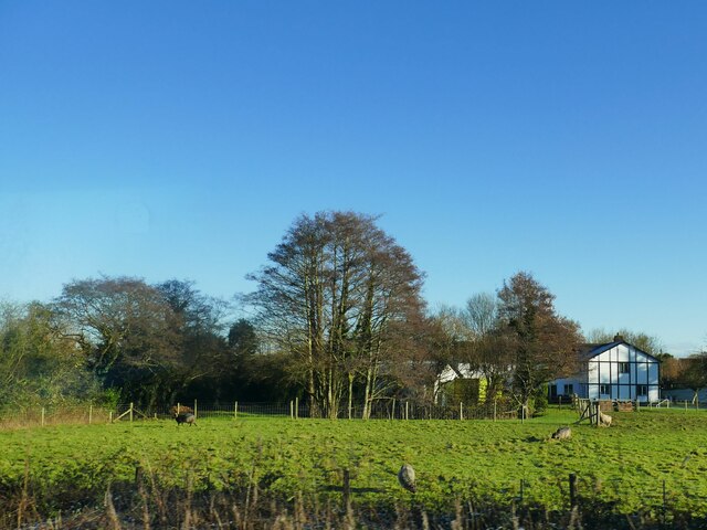
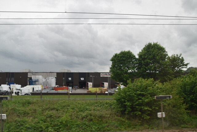
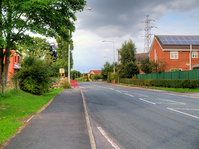
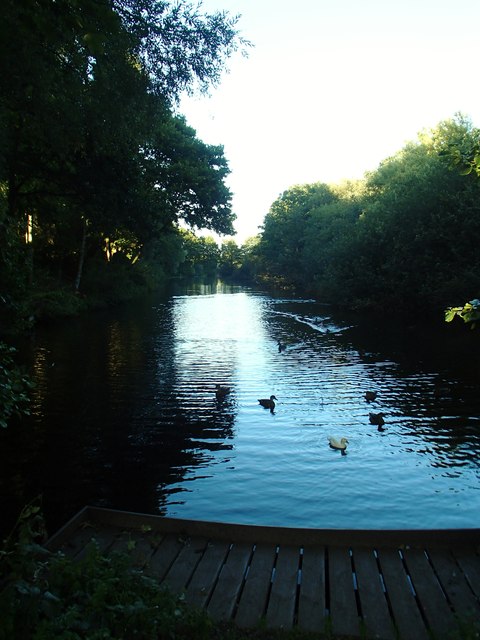
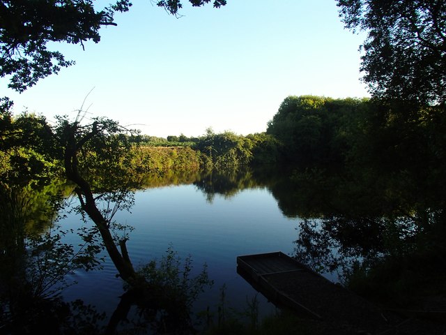
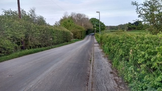
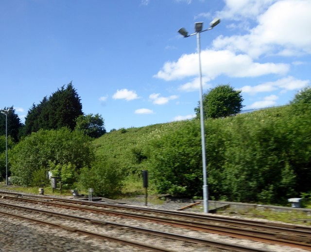
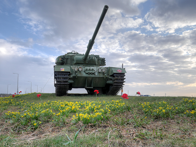
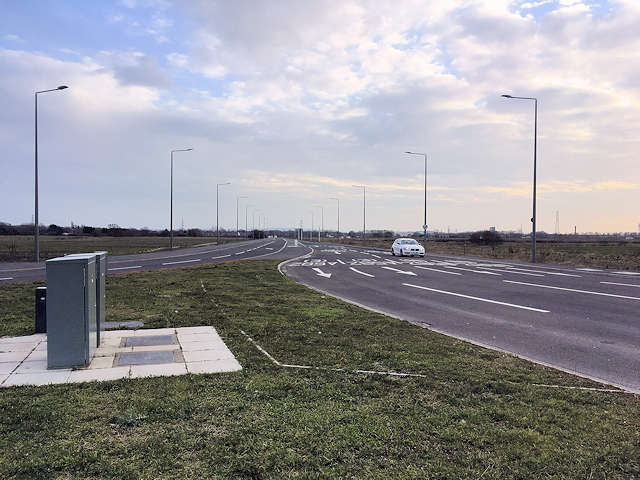
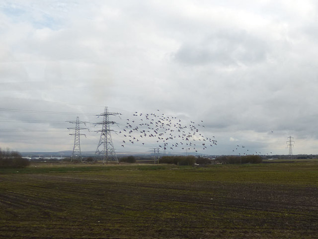
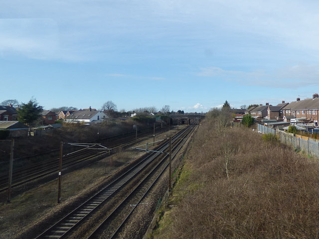
Farington Images
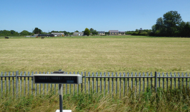
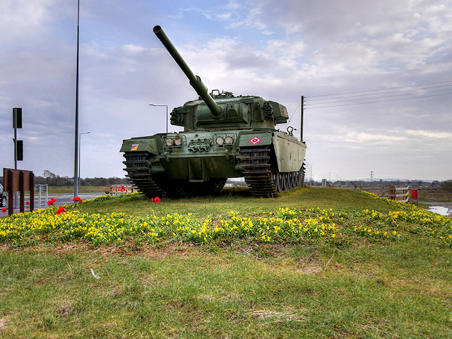
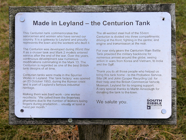
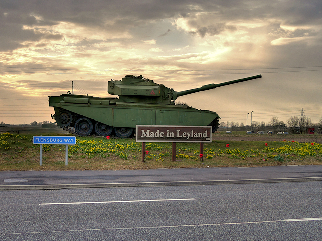
Images are sourced within 2km of 53.714092/-2.713822 or Grid Reference SD5224. Thanks to Geograph Open Source API. All images are credited.


Farington is located at Grid Ref: SD5224 (Lat: 53.714092, Lng: -2.713822)
Administrative County: Lancashire
District: South Ribble
Police Authority: Lancashire
What 3 Words
///giving.later.museum. Near Leyland, Lancashire
Nearby Locations
Related Wikis

Farington Moss
Farington Moss is a village approximately two miles to the north of Leyland, Lancashire, England. It is a typical English village with one school and one...

St Paul's Church, Farington
St Paul's Church is in the village of Farington Moss, Lancashire, England. It is an active Anglican parish church in the deanery of Leyland, the archdeaconry...

South Ribble (UK Parliament constituency)
South Ribble is a constituency represented in the House of Commons of the UK Parliament since 2019 by Katherine Fletcher, a Conservative. == History... ==
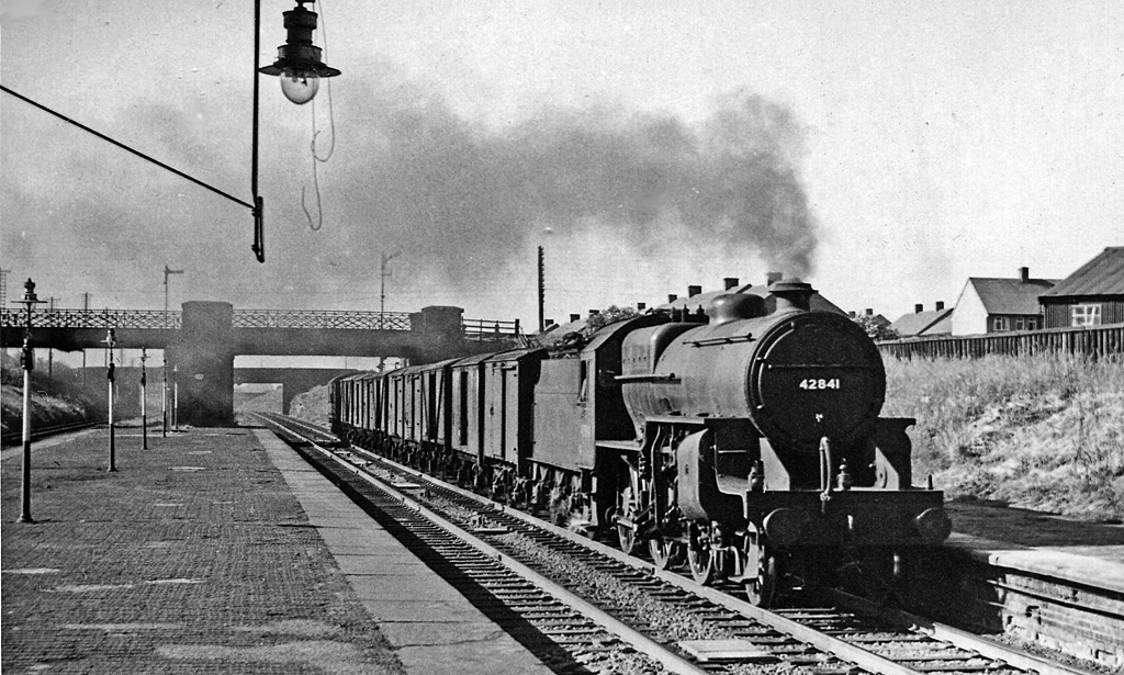
Farington railway station
Farington railway station served Farington, south of Preston in Lancashire, England. == History == The station opened on 31 October 1838 under the ownership...

Whitestake
Whitestake is a small village in the South Ribble district of Lancashire, England, on the eastern edge of New Longton It is at the boundary of the parishes...

Midge Hall
Midge Hall is a small village on the outskirts of Leyland in the borough of South Ribble, Lancashire, England. Notable features include the Midge Hall...
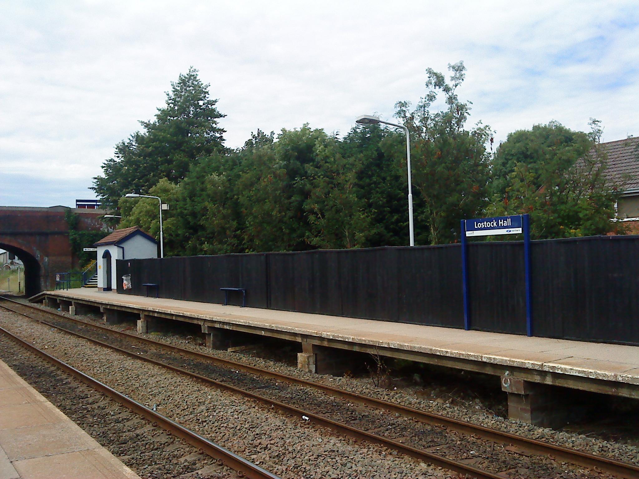
Lostock Hall railway station
Lostock Hall railway station is a railway station serving the village of Lostock Hall in the South Ribble borough of Lancashire, England. It is on the...

Lostock Hall
Lostock Hall is a suburban village within the South Ribble borough of Lancashire, England. It is located on the south side of the River Ribble, some...
Nearby Amenities
Located within 500m of 53.714092,-2.713822Have you been to Farington?
Leave your review of Farington below (or comments, questions and feedback).