Eye and Dunsden
Civil Parish in Oxfordshire South Oxfordshire
England
Eye and Dunsden

The requested URL returned error: 429 Too Many Requests
If you have any feedback on the listing, please let us know in the comments section below.
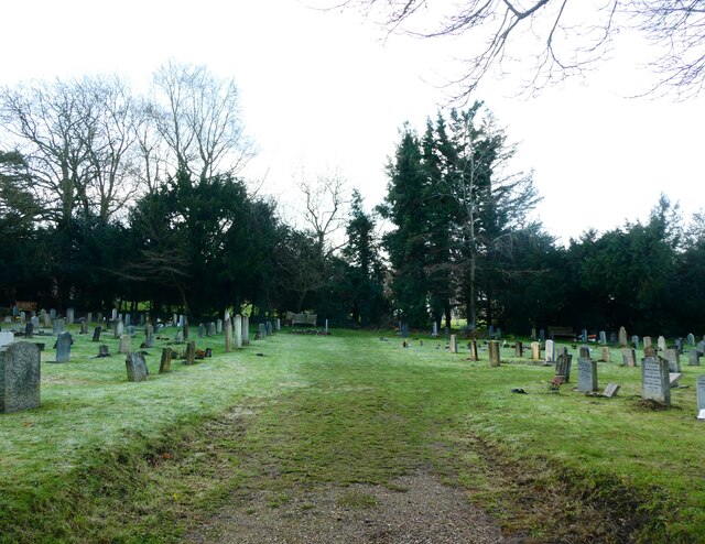
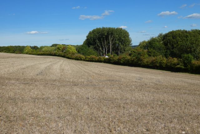
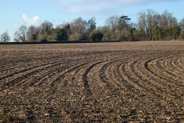
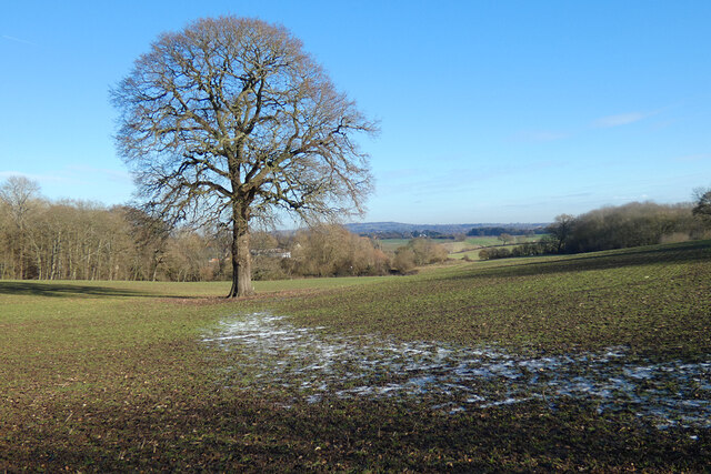
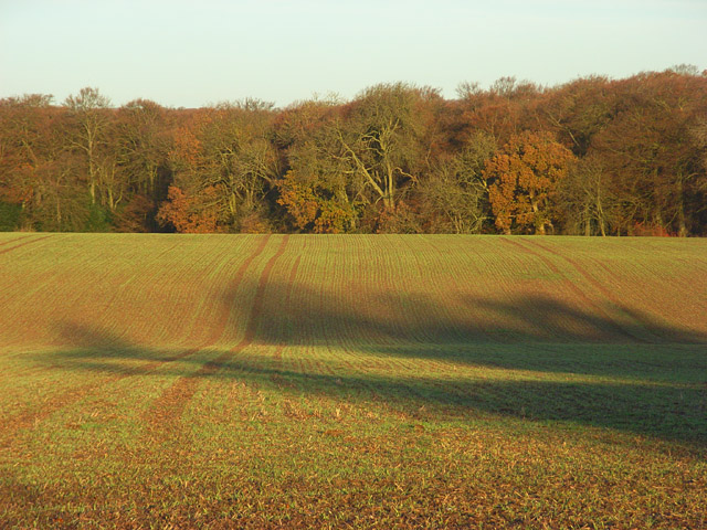
Eye and Dunsden Images
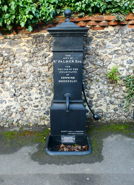
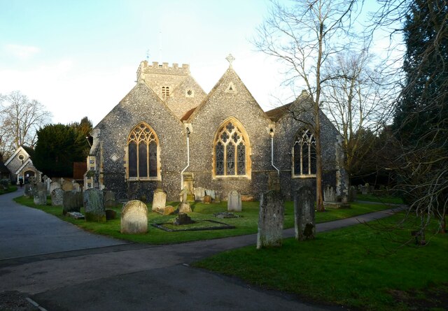
Images are sourced within 2km of 51.480511/-0.931639 or Grid Reference SU7476. Thanks to Geograph Open Source API. All images are credited.


Eye and Dunsden is located at Grid Ref: SU7476 (Lat: 51.480511, Lng: -0.931639)
Administrative County: Oxfordshire
District: South Oxfordshire
Police Authority: Thames Valley
What 3 Words
///pill.caked.grabs. Near Sonning, Berkshire
Nearby Locations
Related Wikis

Playhatch
Playhatch (or Play Hatch) is a hamlet in the civil parish of Eye & Dunsden in South Oxfordshire, England, about 2 miles (3.2 km) northeast of Reading,...
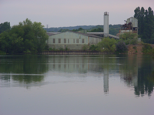
Sonning Works
The Sonning Works are a gravel works owned by Lafarge, located near Sonning Eye, Oxfordshire, England. == Overview == The gravel works is positioned on...
Eye and Dunsden
Eye and Dunsden is a largely rural civil parish in the most southern part of the English county of Oxfordshire. It includes the villages of Sonning Eye...

Berry Brook
The Berry Brook is a stream close to Sonning Eye in the flood plain of the River Thames, in southern Oxfordshire, England.The stream flows northeast from...
Nearby Amenities
Located within 500m of 51.480511,-0.931639Have you been to Eye and Dunsden?
Leave your review of Eye and Dunsden below (or comments, questions and feedback).