Exning

Civil Parish in Suffolk West Suffolk

England

Exning

Lorry parked on Fordham Road
Lorry parked on Fordham Road Credit: David Howard

Exning is a civil parish located in the county of Suffolk, England. It is situated approximately 4 miles northeast of the town of Newmarket and 13 miles northwest of the city of Bury St Edmunds. The parish covers an area of about 7 square miles and has a population of around 2,500 people.

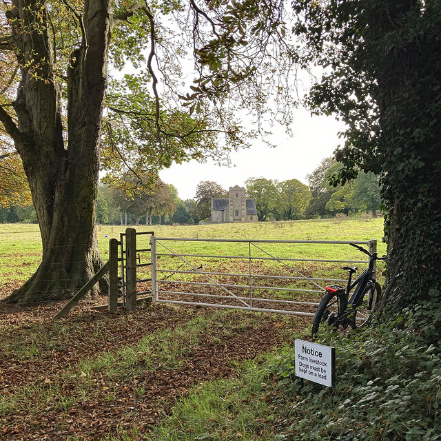
The village of Exning has a long history, with evidence of human habitation dating back to the Roman period. It was mentioned in the Domesday Book of 1086 and has remained a settled area ever since. The village is known for its picturesque setting, surrounded by beautiful countryside and farmland.

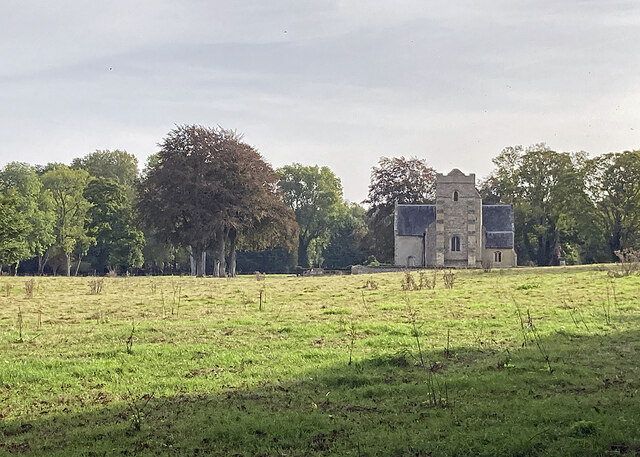
The parish is home to a variety of amenities and facilities. St Martin's Church, dating back to the 12th century, is a prominent landmark and a place of worship for the local community. There are also several pubs, shops, and restaurants in the village, providing residents with essential services and leisure options.

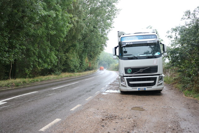
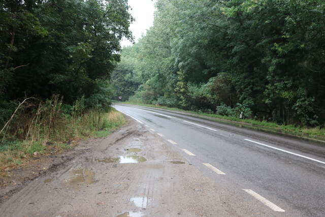
Exning is well-connected to the surrounding towns and cities. The A14 road runs nearby, linking the village to larger urban areas such as Cambridge and Ipswich. There are also regular bus services that connect Exning to Newmarket and other neighboring towns.

The parish of Exning offers a peaceful and rural lifestyle for its residents, while still providing convenient access to essential services and transportation links. Its rich history, natural beauty, and community spirit make it a desirable place to live in Suffolk.

If you have any feedback on the listing, please let us know in the comments section below.

Exning Images

Images are sourced within 2km of 52.27378/0.370381 or Grid Reference TL6166. Thanks to Geograph Open Source API. All images are credited.

Lorry parked on Fordham Road
Layby on Fordham Road
Welcome to Cambridgeshire The county boundary, half way between Exning and Burwell (ahead) - one of the most westerly points in Suffolk. The hump in the road ahead (in <a href="https://www.geograph.org.uk/gridref/TL5966">TL5966</a>) is where there was a bridge over the Cambridge to Mildenhall railway line, which closed in the 1960s.
Welcome to Cambridgeshire
The county boundary, half way between Exning and Burwell (ahead) - one of the most westerly points in Suffolk. The hump in the road ahead (in TL5966) is where there was a bridge over the Cambridge to Mildenhall railway line, which closed in the 1960s.
Farm track, barn and high cloud This section of a farm track is shared by the restricted byway from the B1103 west of Burwell to Haycroft Lane (ahead) and on to Landwade. On this fine early-August morning the clouds were fast-moving.
Farm track, barn and high cloud
This section of a farm track is shared by the restricted byway from the B1103 west of Burwell to Haycroft Lane (ahead) and on to Landwade. On this fine early-August morning the clouds were fast-moving.
A restricted byway on the edge of Suffolk This track runs from Landwade to the B1103 between Exning and Burwell (ahead). On a bright August morning the sun was briefly behind a scrap of high cloud.
A restricted byway on the edge of Suffolk
This track runs from Landwade to the B1103 between Exning and Burwell (ahead). On a bright August morning the sun was briefly behind a scrap of high cloud.
A line of trees on the edge of Suffolk The trees on the other side of this narrow field next to a restricted byway line the former course of the Cambridge to Mildenhall railway line, which is also the county boundary hereabouts. The line closed in the 1960s.

In the first week of August the harvest is well advanced in this part of East Anglia.
A line of trees on the edge of Suffolk
The trees on the other side of this narrow field next to a restricted byway line the former course of the Cambridge to Mildenhall railway line, which is also the county boundary hereabouts. The line closed in the 1960s. In the first week of August the harvest is well advanced in this part of East Anglia.
Beechams House and the course of the Mildenhall branch line Beechams House was originally a crossing-keeper's cottage. This is where the lanes from Exning to the top end of Burwell crossed the railway, whose course to Cambridge is ahead, to the left of the tall tree. The line's course is also the boundary between Suffolk (left) and Cambridgeshire for the next three-quarters of a mile or so.
Beechams House and the course of the Mildenhall branch line
Beechams House was originally a crossing-keeper's cottage. This is where the lanes from Exning to the top end of Burwell crossed the railway, whose course to Cambridge is ahead, to the left of the tall tree. The line's course is also the boundary between Suffolk (left) and Cambridgeshire for the next three-quarters of a mile or so.
Plantation and field boundary East of Haycroft Lane in the low chalk hills between Burwell and Newmarket. The lane here is the county boundary and this is the Suffolk side.
Plantation and field boundary
East of Haycroft Lane in the low chalk hills between Burwell and Newmarket. The lane here is the county boundary and this is the Suffolk side.
Farmland seen from Landwade Road
The A14 Newmarket Bypass
Power lines by Heath Road  Looking towards Exning.
Power lines by Heath Road
Looking towards Exning.
Exning: cottages on the corner Heath Road bends sharply here. The entrance to the cemetery is behind the camera.
Exning: cottages on the corner
Heath Road bends sharply here. The entrance to the cemetery is behind the camera.
Exning: Lacey's Lane Victorian houses on the southern edge of the village.
Exning: Lacey's Lane
Victorian houses on the southern edge of the village.
Exning: the corner of Lacey's Lane Looking from the end of Ducks Lane. Chapel Street is to the right.
Exning: the corner of Lacey's Lane
Looking from the end of Ducks Lane. Chapel Street is to the right.
Exning: the White Horse At the corner of Swan Lane. The Grade II listed building dates from the late 18th century.
Exning: the White Horse
At the corner of Swan Lane. The Grade II listed building dates from the late 18th century.
Towards Landwade Church St Nicholas is a 15th-century Grade II* listed church.
Towards Landwade Church
St Nicholas is a 15th-century Grade II* listed church.
Landwade: St Nicholas "Built c.1445 for Sir Walter Cotton. Cruciform plan and west tower. Some re-used Barnack stone and limestone dressings, flint and pebble rubble originally plastered. Interior details in clunch. Welsh slate roofs; plain tile pyramidal tower roof and pent roof to tower turret. Two massive gault brick buttresses, mid C19, to west elevation of tower" (from the Grade II* listing).
Landwade: St Nicholas
"Built c.1445 for Sir Walter Cotton. Cruciform plan and west tower. Some re-used Barnack stone and limestone dressings, flint and pebble rubble originally plastered. Interior details in clunch. Welsh slate roofs; plain tile pyramidal tower roof and pent roof to tower turret. Two massive gault brick buttresses, mid C19, to west elevation of tower" (from the Grade II* listing).
Show me another place!

Exning is located at Grid Ref: TL6166 (Lat: 52.27378, Lng: 0.370381)

Administrative County: Suffolk

District: West Suffolk

Police Authority: Suffolk

What 3 Words

///looks.grows.streamers. Near Exning, Suffolk

Nearby Locations

Exning

Related Wikis

The Rosery, Exning, Suffolk

The Rosery is an early Victorian country house in the town of Exning, Suffolk, England. The building was converted to a hotel in the 1970s. == Early... ==

Exning

Exning is a village and civil parish in the West Suffolk district of Suffolk in eastern England. It lies just off the A14 trunk road, roughly 12 miles...

Landwade

Landwade is a village and former civil parish, now in the parish of Exning, in the West Suffolk district, in the county of Suffolk, England. It is 4 miles...

Exning Road Halt railway station

Exning Road Halt railway station served the village of Exning, Suffolk, England from 1922 to 1962 on the Cambridge to Mildenhall railway. == History... ==

Nearby Amenities

Located within 500m of 52.27378,0.370381
Post Box
Collection Times: Mo-Fr 16:45; Sa 11:30
Operator: Royal Mail
Post Box Type: lamp
Ref: CB8 104
Royal Cypher: EIIR
Royal Cypher Wikidata: Q33102113
Source: survey
Lat/Long: 52.2747502/0.3754203
Man Made: wastewater_plant
Lat/Long: 52.2763204/0.371942
Exning
Man Made: village_sign
Source: survey
Tourism: artwork
Lat/Long: 52.2712981/0.3732012
The data included in this document is from www.openstreetmap.org. The data is made available under ODbL.

Have you been to Exning?

Leave your review of Exning below (or comments, questions and feedback).