Everton
Civil Parish in Bedfordshire
England
Everton
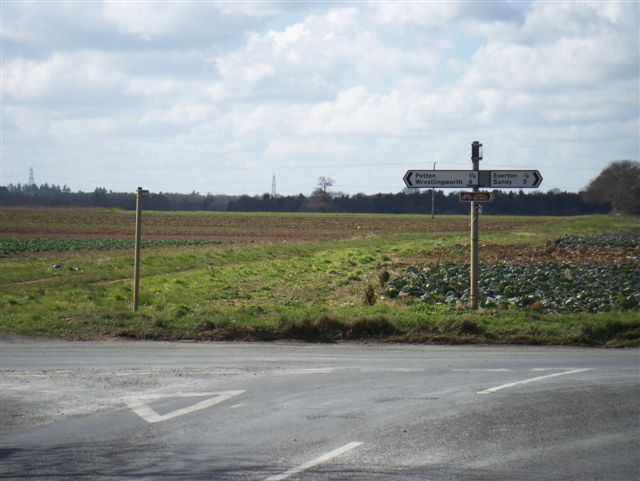
Everton is a civil parish located in the county of Bedfordshire, England. Situated approximately 12 miles south of Bedford and 6 miles north of Sandy, this small village covers an area of around 3 square miles. Everton is part of the Central Bedfordshire district and falls within the administrative area of Bedfordshire.
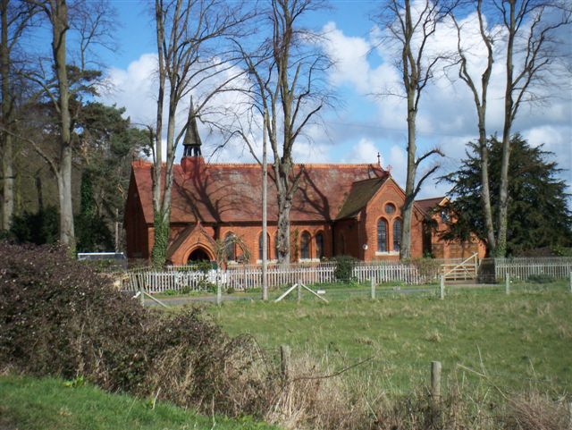
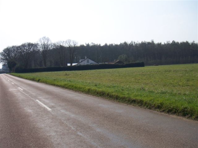
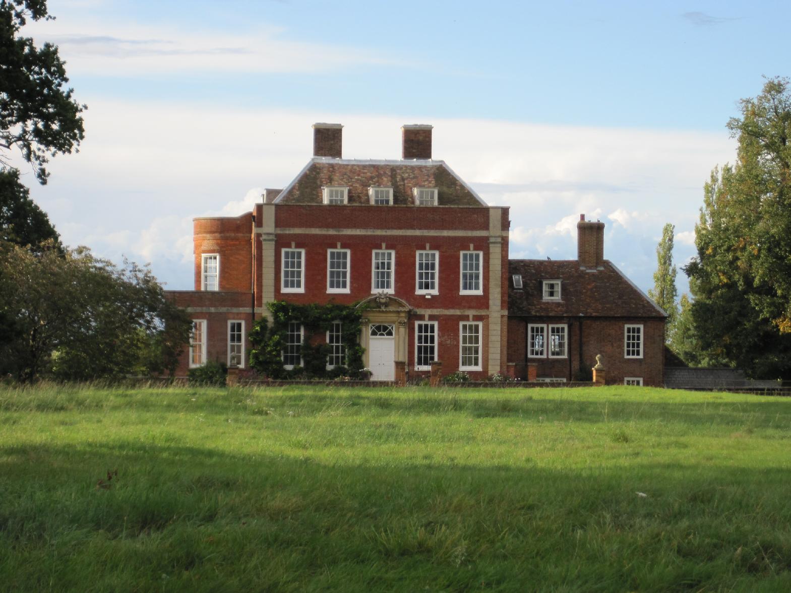
The village is known for its picturesque setting, surrounded by beautiful countryside and farmland. It is characterized by its charming thatched cottages and traditional architecture, which add to its rural appeal. Everton is home to a close-knit community, with a population of around 500 residents.
The village boasts a few amenities to cater to its inhabitants, including a local pub, The Thornton Arms, which serves as a social hub for the community. Additionally, there is a village hall that hosts various events and gatherings throughout the year.
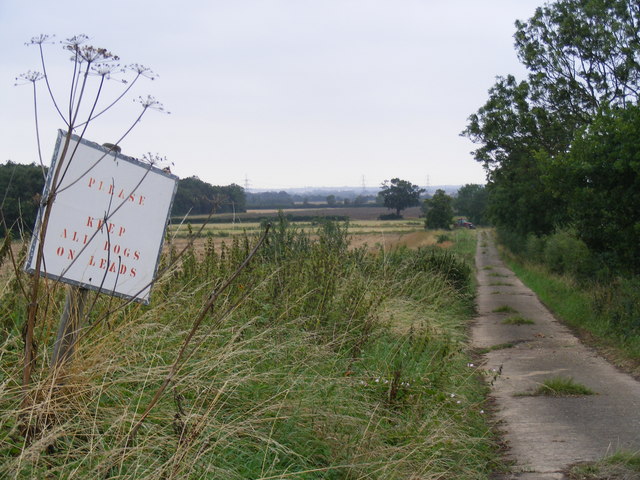
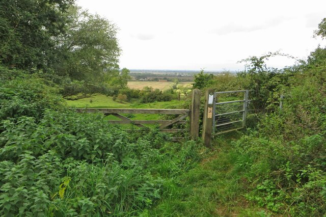
For outdoor enthusiasts, Everton offers plenty of opportunities for exploration and recreation. The parish is crisscrossed by footpaths and bridleways, allowing residents and visitors to enjoy the natural beauty of the surrounding area. Everton is also within close proximity to the popular Wrest Park, a historic country house and gardens that provide a great day out for families.
In terms of transportation, Everton is well-connected to neighboring towns and cities via the A1 road and the A603, providing easy access to the wider region. The nearest railway stations are located in Sandy and Biggleswade, both offering regular services to London and other major destinations.
Overall, Everton, Bedfordshire is a tranquil and idyllic village, offering a peaceful countryside lifestyle with the convenience of nearby amenities and transport links.
If you have any feedback on the listing, please let us know in the comments section below.
Everton Images
Images are sourced within 2km of 52.152853/-0.250586 or Grid Reference TL1951. Thanks to Geograph Open Source API. All images are credited.

Everton is located at Grid Ref: TL1951 (Lat: 52.152853, Lng: -0.250586)
Unitary Authority: Central Bedfordshire
Police Authority: Bedfordshire
What 3 Words
///duplicate.coverings.plausible. Near Everton, Bedfordshire
Nearby Locations
Related Wikis
Everton, Bedfordshire
Everton is a small rural village of about 200 dwellings (including outlying) and civil parish in the Central Bedfordshire district of Bedfordshire, England...
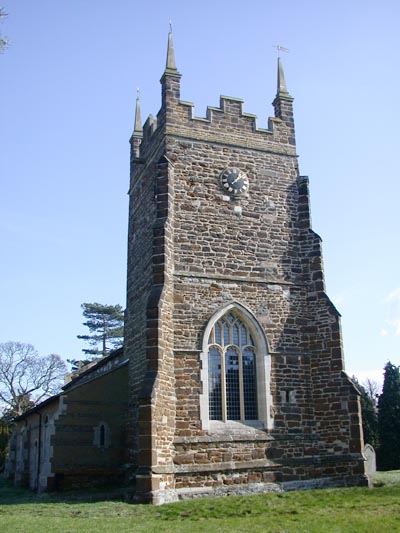
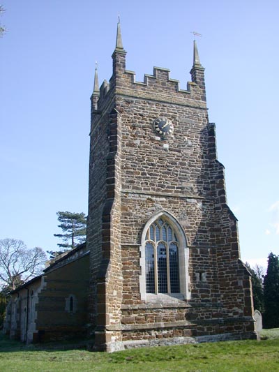
Church of St Mary, Everton, Bedfordshire
Church of St Mary is a Grade I listed church in Everton, Bedfordshire, England. It became a listed building on 26 November 1986. Its most famous rector...
RAF Tempsford
RAF Tempsford is a former Royal Air Force station located 2.3 miles (3.7 km) north east of Sandy, Bedfordshire, England and 4.4 miles (7.1 km) south of...
Tetworth
Tetworth is a village and former civil parish, now in the parish of Waresley-cum-Tetworth, in Cambridgeshire, England. Tetworth lies approximately 12 miles...
Nearby Amenities
Located within 500m of 52.152853,-0.250586Have you been to Everton?
Leave your review of Everton below (or comments, questions and feedback).
