English Bicknor
Civil Parish in Gloucestershire Forest of Dean
England
English Bicknor

English Bicknor is a civil parish located in the Forest of Dean district of Gloucestershire, England. Situated in the western part of the county, it covers an area of approximately 6 square kilometers and is home to a small population of around 200 residents.
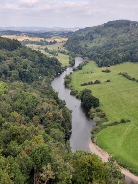
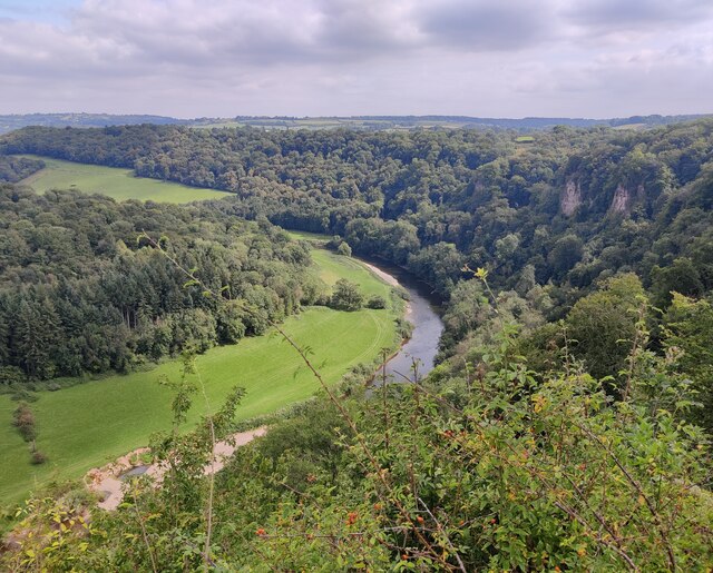
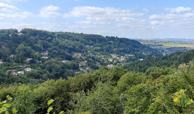
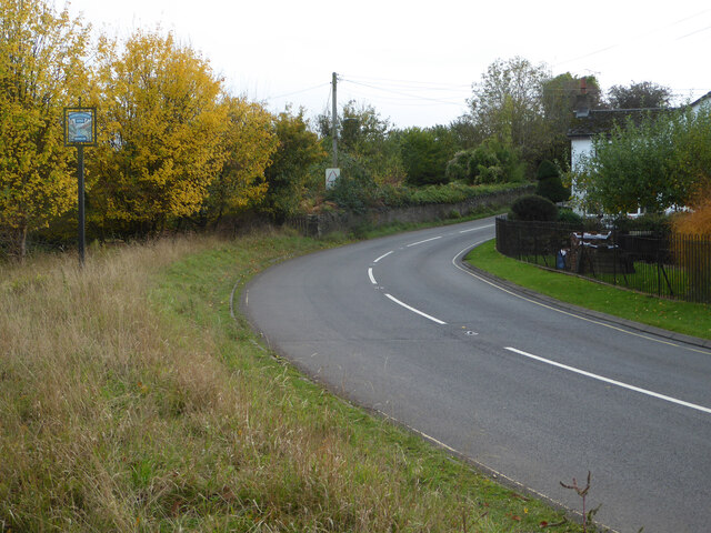
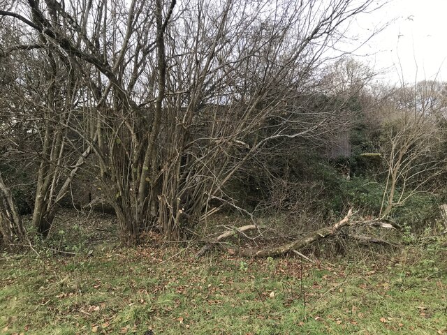
The parish consists of a collection of scattered settlements and hamlets, including English Bicknor itself, Lower Berry Hill, and Whitecliff. Nestled in the picturesque Wye Valley, the area is known for its stunning natural beauty, with rolling hills, meandering rivers, and dense woodlands surrounding the parish.
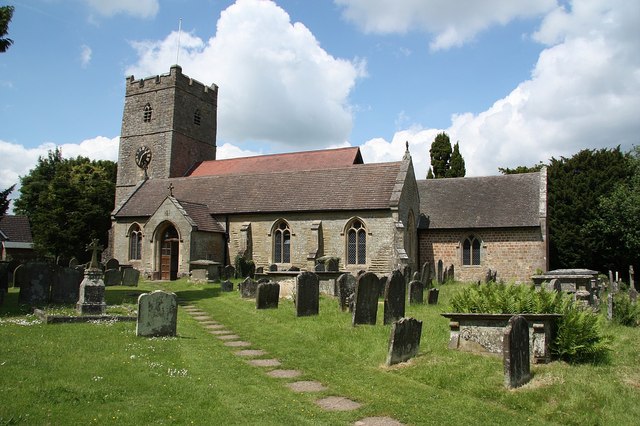
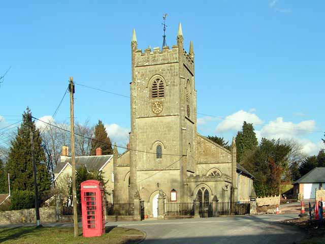
English Bicknor is rich in history, with evidence of human habitation dating back to the prehistoric era. The parish is home to several ancient monuments, including the 13th-century St. Mary's Church, which stands on the site of a former Saxon church. The church features a striking 15th-century timber bell tower, known as a "cage," which is a rare architectural feature in England.
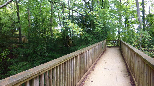
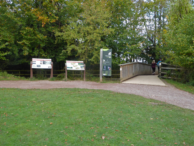
The area also boasts a number of walking and cycling trails, making it popular among outdoor enthusiasts and nature lovers. The nearby Wye Valley Walk offers breathtaking views of the surrounding countryside and allows visitors to explore the area's diverse flora and fauna.
English Bicknor is a peaceful and idyllic rural parish, offering a tranquil retreat from the hustle and bustle of city life. With its rich history, stunning natural landscapes, and welcoming community, it is a hidden gem within the Gloucestershire countryside.
If you have any feedback on the listing, please let us know in the comments section below.
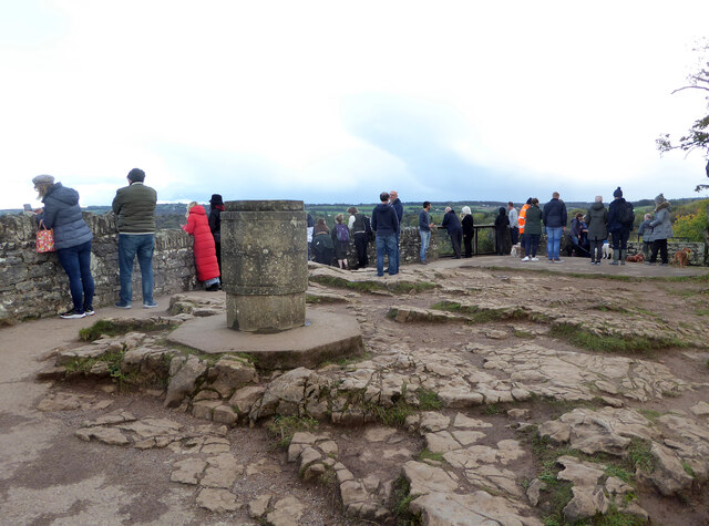
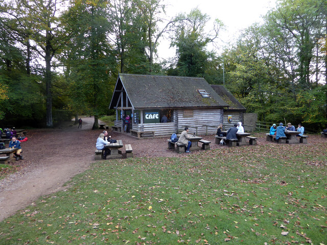
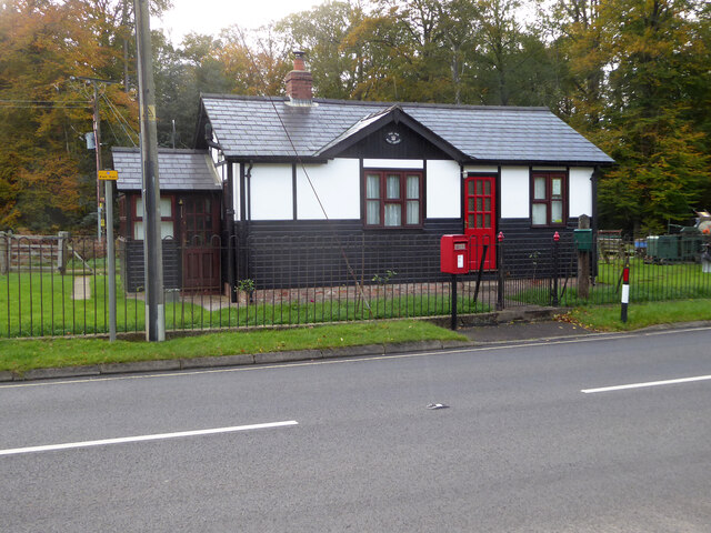
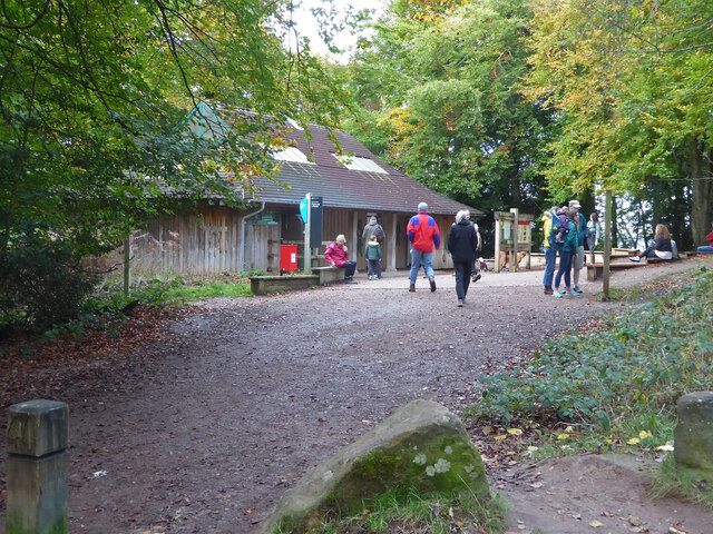
English Bicknor Images
Images are sourced within 2km of 51.830816/-2.617345 or Grid Reference SO5714. Thanks to Geograph Open Source API. All images are credited.


English Bicknor is located at Grid Ref: SO5714 (Lat: 51.830816, Lng: -2.617345)
Administrative County: Gloucestershire
District: Forest of Dean
Police Authority: Gloucestershire
What 3 Words
///consented.storybook.second. Near Lydbrook, Gloucestershire
Nearby Locations
Related Wikis
English Bicknor
English Bicknor is a village and civil parish in the Forest of Dean district of west Gloucestershire, England. The 2011 Census recorded the population...

English Bicknor Castle
English Bicknor Castle was a castle in the village of English Bicknor in Gloucestershire, England. The castle was built in the 11th century as a motte...

Brooks Head Grove
Brooks Head Grove (grid reference SO586145) is an 11.9-hectare (29-acre) biological Site of Special Scientific Interest in Gloucestershire, notified in...
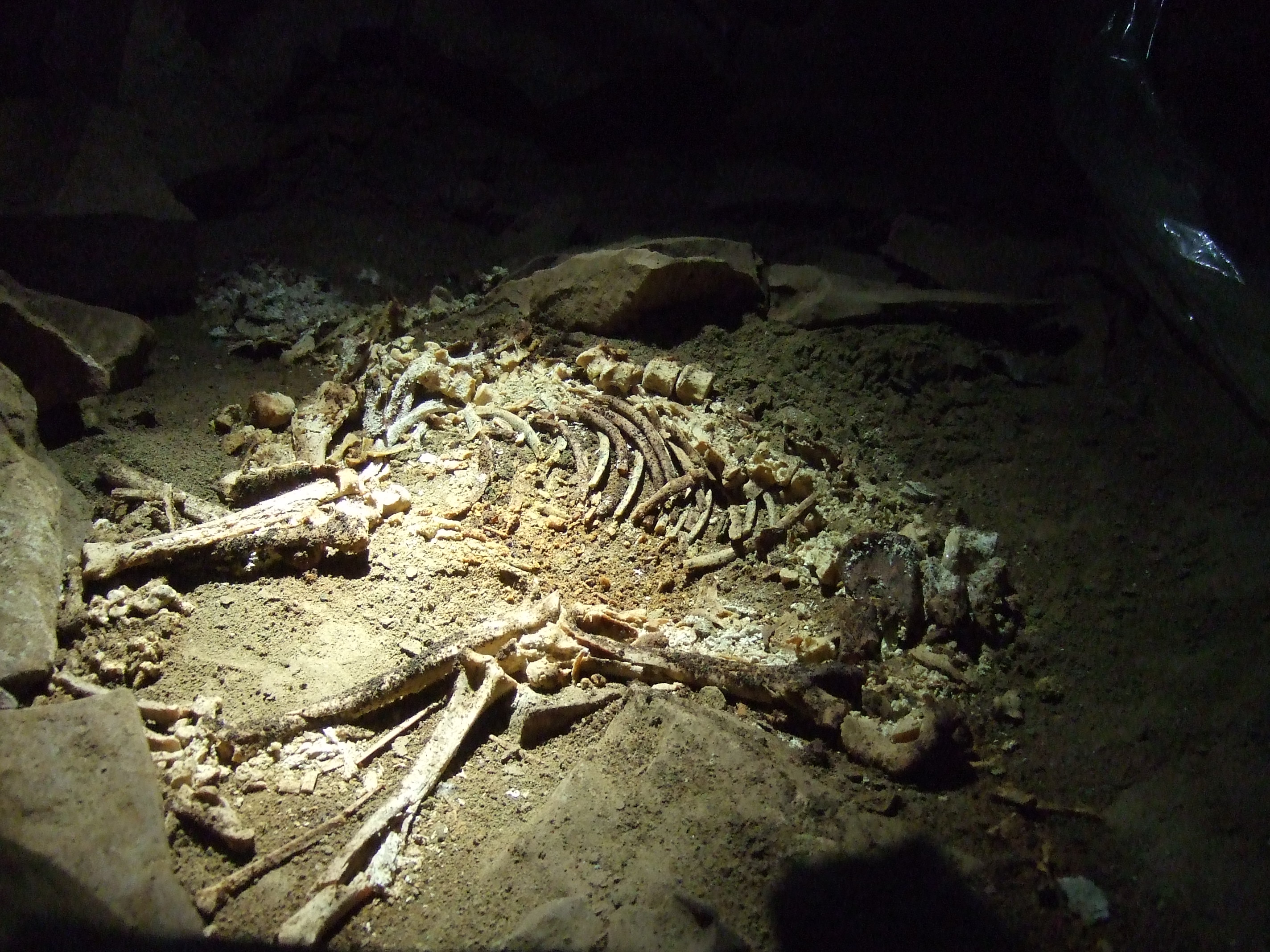
Slaughter Stream Cave
Slaughter Stream Cave, also known as Wet Sink, is a cave system in the Wye Valley, Forest of Dean. A series of fixed ladders and two pitches lead to sporting...

Eastbach Court
Eastbach Court is a historic Grade II listed mansion in English Bicknor, Gloucestershire, England. == History == The house was built on a former messuage...

Symonds Yat railway station
Symonds Yat railway station is a disused railway station on the Ross and Monmouth Railway constructed on the banks of the River Wye in Symonds Yat East...

Symonds Yat Rapids
Symonds Yat Rapids are a grade-2 man-made feature on the River Wye, near Symonds Yat on the Gloucestershire and Herefordshire border. They are most commonly...
Berry Hill, Gloucestershire
Berry Hill is a village in Gloucestershire, England, 1.5 miles north of the town of Coleford. Berry Hill includes the settlements of Five Acres to the...
Related Videos

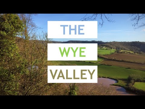
Walking in the Wye Valley - Symonds Yat, Biblins bridge and King Arthur's Cave
A beautiful autumn day for a walk in the Wye Valley. Starting at Symonds Yat Rock car park it's not long before fantastic views ...
Walking The Wye Valley - From Chepstow to Ross on Wye
Last week I went on a two day hike, following the Wye Valley Walk from Chepstow to Ross-on-Wye. The trail took me through ...

Discovering Secret UK Gems - Wye Valley, Berkshire & Hampshire Holiday Vlog!
travelvlog #gaycouple #lgbt Our little holiday in the UK for 2022. It was a twin-centre, basing ourselves in Premier Inns at ...

Best Things to Do in The Wye Valley! | Ross on Wye, Goodrich Castle, Symonds Yat and Monmouth
Hey everyone! In this video we finish off our Herefordshire adventure with a beautiful trip exploring the Wye Valley! We visit a ...
Nearby Amenities
Located within 500m of 51.830816,-2.617345Have you been to English Bicknor?
Leave your review of English Bicknor below (or comments, questions and feedback).