Ely
Civil Parish in Cambridgeshire East Cambridgeshire
England
Ely
Ely, Cambridgeshire is a civil parish located in the eastern part of England. Situated on the River Great Ouse, it is about 14 miles north-northeast of Cambridge. Ely is known for its historical significance and beautiful architecture.
The city is dominated by its magnificent Ely Cathedral, which dates back to the 11th century and is an iconic landmark in the region. The cathedral is renowned for its stunning Gothic architecture and is one of the largest in England. Visitors can explore its grand interiors, including the famous Octagon tower, and enjoy panoramic views of the surrounding countryside from its tower.
Ely also boasts a rich heritage, evident in its charming streets and buildings. The city center features a mix of medieval and Georgian architecture, offering a glimpse into its past. The riverside area is particularly picturesque, with traditional English pubs, quaint shops, and peaceful walks along the riverbank.
The city has a vibrant cultural scene, with various festivals and events taking place throughout the year. One of the most popular is the Ely Folk Festival, which showcases local and international folk music talent. The Ely Eel Festival is another highlight, celebrating the city's connection to the eel fishing industry.
Ely is a thriving market town, with a range of independent shops, boutiques, and cafes. The weekly market, held in the historic Market Square, offers a wide variety of local produce, crafts, and antiques. The city also has excellent transport links, making it easily accessible for both residents and visitors.
Overall, Ely, Cambridgeshire is a picturesque and historically significant city, offering a blend of stunning architecture, cultural events, and a charming market town atmosphere.
If you have any feedback on the listing, please let us know in the comments section below.
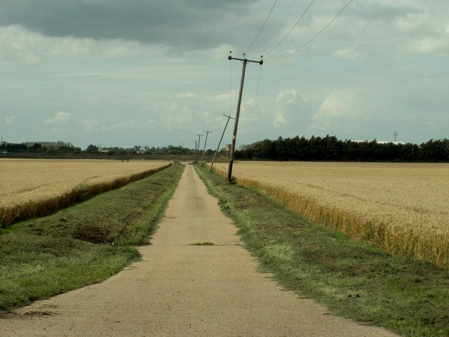
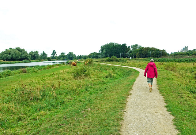
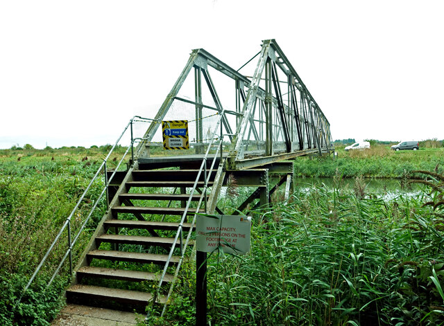
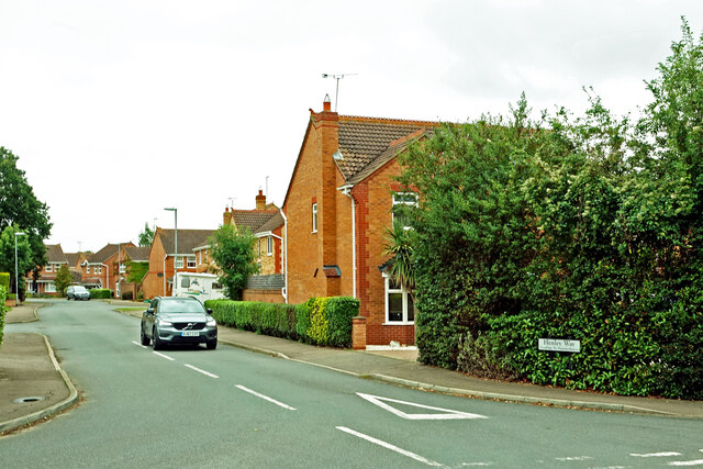
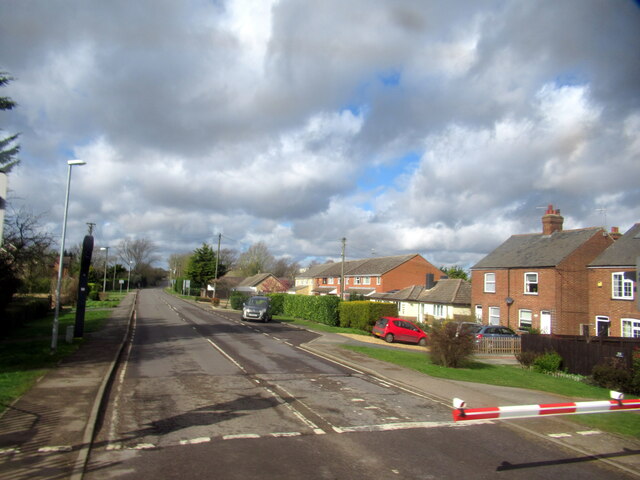
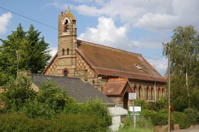
Ely Images
Images are sourced within 2km of 52.405755/0.304717 or Grid Reference TL5681. Thanks to Geograph Open Source API. All images are credited.


Ely is located at Grid Ref: TL5681 (Lat: 52.405755, Lng: 0.304717)
Division: Isle of Ely
Administrative County: Cambridgeshire
District: East Cambridgeshire
Police Authority: Cambridgeshire
What 3 Words
///shepherdess.motoring.leaky. Near Ely, Cambridgeshire
Nearby Locations
Related Wikis
Queen Adelaide, Cambridgeshire
Queen Adelaide is a hamlet on the River Great Ouse in the Fens about 1+1⁄2 miles (2.4 km) northeast of Ely, Cambridgeshire, England. The hamlet is named...

The Boat Race 2021
The Boat Race 2021 was an event comprising two side-by-side rowing races that took place on 4 April 2021. The Boat Race is contested annually between crews...
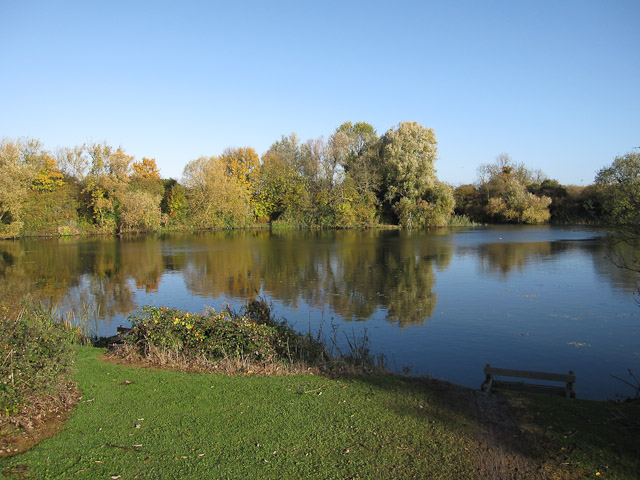
Ely Pits and Meadows
Ely Pits and Meadows is an 85.8-hectare (212-acre) Site of Special Scientific Interest (SSSI) on the eastern outskirts of Ely in Cambridgeshire. It is...

Roswell Pits
Roswell Pits is an 8 hectare nature reserve on the eastern outskirts of Ely in Cambridgeshire. It is managed by the Environment Agency. It is part of the...
Isle of Ely Rowing Club
Isle of Ely Rowing Club is a rowing club on the River Great Ouse based at Kiln Lane, Prickwillow Road, Ely, Cambridgeshire.The club was founded in 2004...

Princess of Wales Hospital, Ely
The Princess of Wales Hospital is a healthcare facility in Ely, Cambridgeshire. It is managed by the Cambridgeshire and Peterborough NHS Foundation Trust...

East Cambridgeshire
East Cambridgeshire (locally known as East Cambs) is a local government district in Cambridgeshire, England. Its council is based in the city of Ely. The...
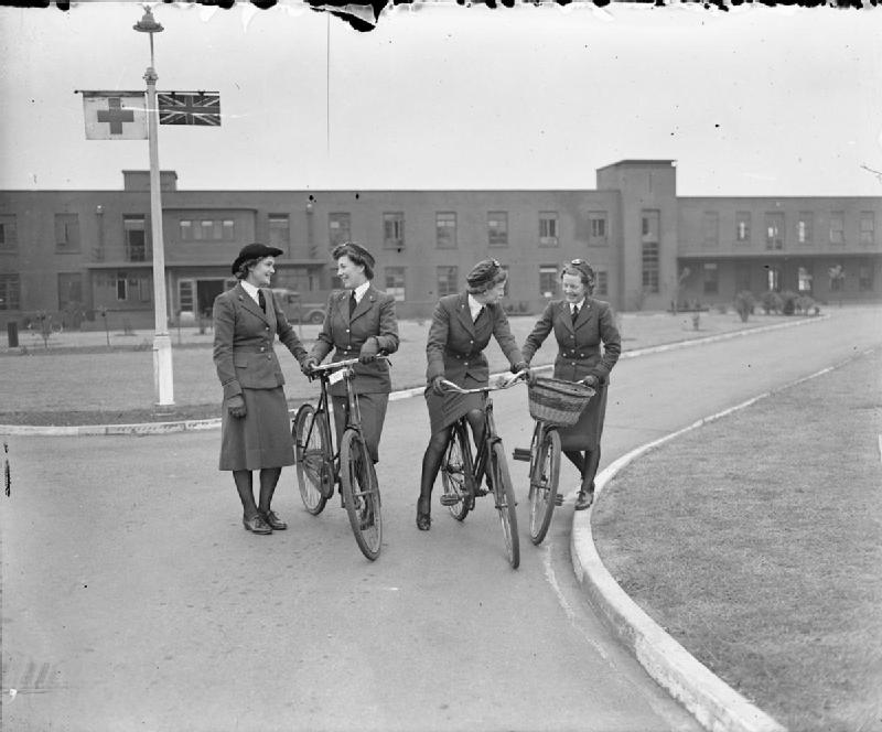
RAF Hospital Ely
RAF Hospital Ely (also known as RAF Ely and RAFH Ely), was a Royal Air Force staffed military hospital in Ely, Cambridgeshire, England. The hospital opened...
Nearby Amenities
Located within 500m of 52.405755,0.304717Have you been to Ely?
Leave your review of Ely below (or comments, questions and feedback).