Elton

Civil Parish in Derbyshire Derbyshire Dales

England

Elton

Junction A5012
Junction A5012 Credit: Chris Gunns

Elton is a civil parish located in the county of Derbyshire, England. Situated in the district of Derbyshire Dales, it covers an area of approximately 4.5 square miles. Elton is a small village with a population of around 300 residents.

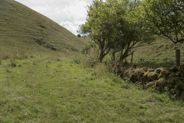
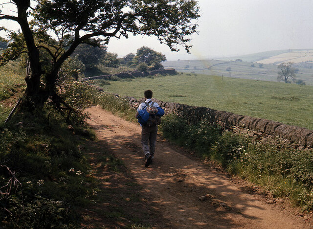
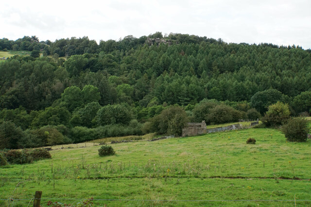
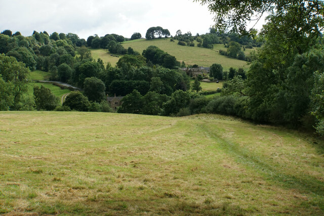
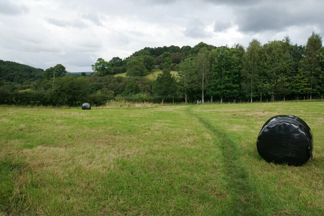
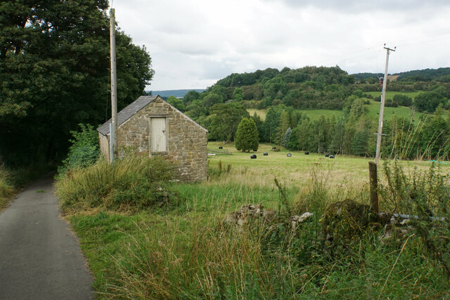
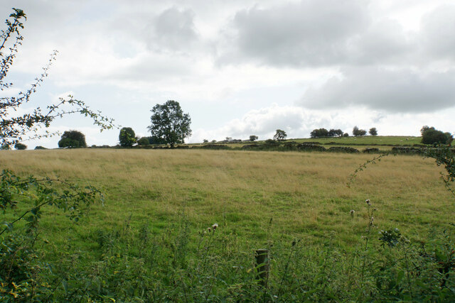
The village is nestled in the picturesque Peak District National Park, offering stunning natural landscapes and a tranquil environment. It is surrounded by rolling hills, lush green meadows, and dense woodlands, making it an ideal location for outdoor enthusiasts and nature lovers.

Elton has a rich history, with evidence of human settlement dating back to the Bronze Age. The village features several historic buildings, including the 12th-century Church of All Saints, which is a Grade II listed structure. The church boasts beautiful stained glass windows and intricate architectural details.

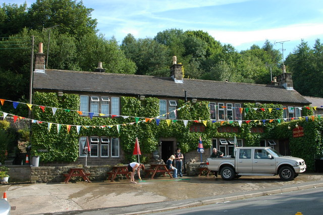
Despite its small size, Elton has a strong sense of community. The village has a local pub, The Robin Hood Inn, which serves as a popular gathering spot for residents and visitors alike. The pub offers a range of traditional British cuisine and a selection of beverages.

Elton is well-connected to other towns and cities in the region. It is located just a few miles away from the market town of Matlock, which provides amenities such as shops, schools, and healthcare facilities. The village is also within easy reach of the city of Derby, offering further employment and recreational opportunities.

Overall, Elton is a charming and idyllic village, known for its natural beauty, historic landmarks, and strong community spirit.

If you have any feedback on the listing, please let us know in the comments section below.
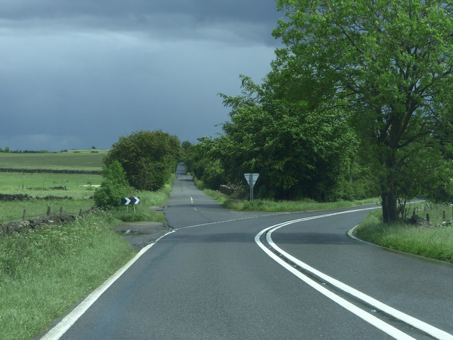
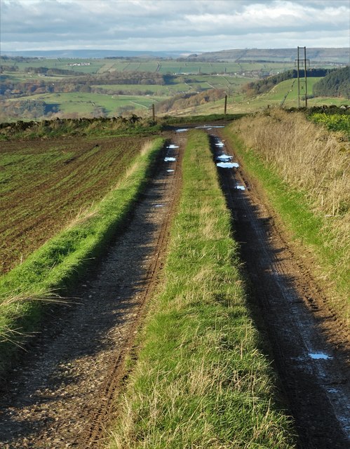
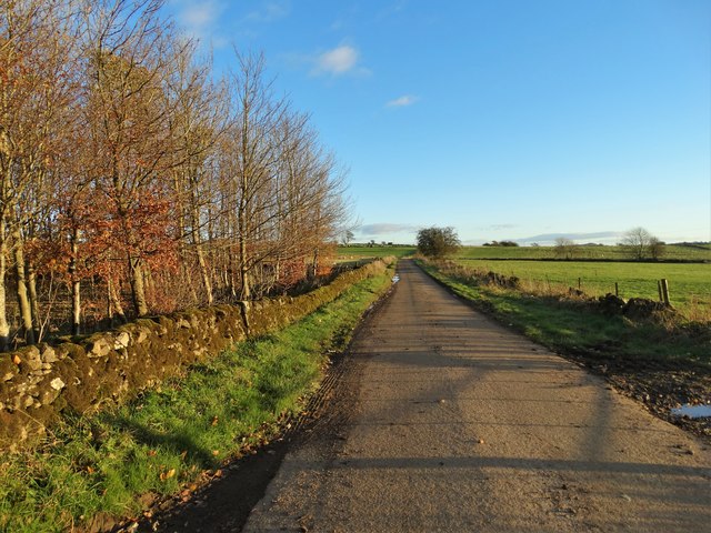
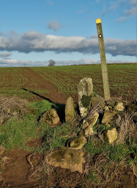
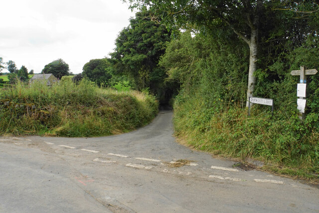
Elton Images

Images are sourced within 2km of 53.142461/-1.676196 or Grid Reference SK2160. Thanks to Geograph Open Source API. All images are credited.

Junction A5012
Junction A5012
Gratton Dale north of Mouldridge Grange
Cattle in Long Dale
Cattle in Long Dale
Field barn near Mouldridge Grange
Track on Elton Common
Sheep pasture east of Exlowmere Lane
Exlowmere Lane
Exlowmere Lane
Stile and footpath - Elton Common
Not a place I would choose to cycle Just where Long Dale and Gratton Dale join we were passed by a group of about 15 cyclists. These few have just gone through a very narrow stile and are heading down the dale which in places is very rough and rocky.
Not a place I would choose to cycle
Just where Long Dale and Gratton Dale join we were passed by a group of about 15 cyclists. These few have just gone through a very narrow stile and are heading down the dale which in places is very rough and rocky.
Looking back up Long Dale From the stile we look back along the way we have walked.
Looking back up Long Dale
From the stile we look back along the way we have walked.
Footpath to Elton We chose not to add the extra miles on our walk by going to Elton, but this is the footpath to the village.
Footpath to Elton
We chose not to add the extra miles on our walk by going to Elton, but this is the footpath to the village.
Hungerhill Lane, Elton Old trackway leading towards Gratton Dale
Hungerhill Lane, Elton
Old trackway leading towards Gratton Dale
Ruined barn near Birchover Hermit's Cave and Robin Hood's Stride are rocky outcrops on the opposite hill.
Ruined barn near Birchover
Hermit's Cave and Robin Hood's Stride are rocky outcrops on the opposite hill.
Path towards Elton Elton is over the top of the hill seen ahead.
Path towards Elton
Elton is over the top of the hill seen ahead.
Path to Birchover The path leaves Dudwood Lane by Meadowside Farm. The field has been harvested for silage.
Path to Birchover
The path leaves Dudwood Lane by Meadowside Farm. The field has been harvested for silage.
Barn by Dudwood Lane The valley of Ivy Bar Brook is down to the right, and Bradley Rocks are in the trees on the other side.
Barn by Dudwood Lane
The valley of Ivy Bar Brook is down to the right, and Bradley Rocks are in the trees on the other side.
The top of Dudwood Lane The lane is also the route of the Limestone Way.
The top of Dudwood Lane
The lane is also the route of the Limestone Way.
Hilltop fields near Elton The top is a bit further out of sight, on Blake Low.
Hilltop fields near Elton
The top is a bit further out of sight, on Blake Low.
Show me another place!

Elton is located at Grid Ref: SK2160 (Lat: 53.142461, Lng: -1.676196)

Administrative County: Derbyshire

District: Derbyshire Dales

Police Authority: Derbyshire

What 3 Words

///bangle.grills.straddled. Near Youlgreave, Derbyshire

Nearby Locations

Elton

Related Wikis

Elton, Derbyshire

Elton is a village and civil parish in the Derbyshire Dales district of Derbyshire, England, and lies within the Peak District. Its nearest towns are Bakewell...

All Saints' Church, Elton

All Saints’ Church, Elton is a Grade II listed Church of England church in Elton, Derbyshire. == History == Elton was originally one of the chapelries...

Duke of York Inn, Elton

The Duke of York Inn is a Grade II listed public house at Main Street, Elton, Derbyshire DE4 2BW.It is on the Campaign for Real Ale's National Inventory...

Dale End, Derbyshire

Dale End is a hamlet in Derbyshire, England to the west of Elton. == References ==

Gratton, Derbyshire

Gratton is a civil parish in the Derbyshire Dales district of central Derbyshire, half a mile west of the neighbouring village, Elton. == See also... ==
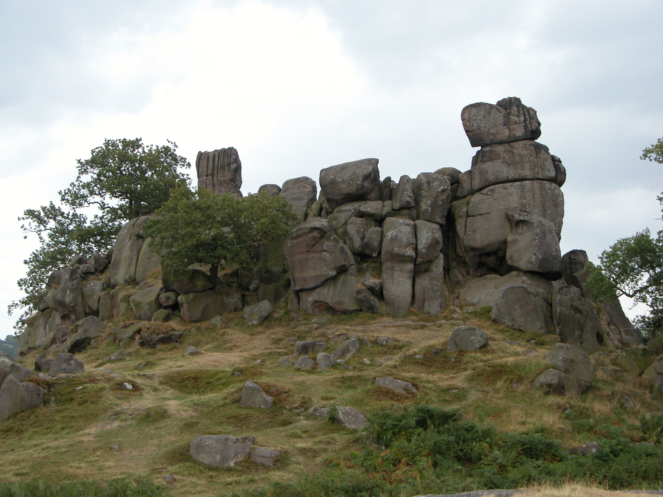
Robin Hood's Stride

Robin Hood's Stride (also known as Mock Beggar's Mansion) is a rock formation on the Limestone Way in Derbyshire close to the village of Elton. The nearest...

Birchover

Birchover is a village and civil parish in the Peak District National Park in Derbyshire, England, five miles north-west of Matlock. At the 2001 Census...

Derbyshire Dales (UK Parliament constituency)

Derbyshire Dales ( DAR-bee-sheer, -⁠shər) is a constituency that has been represented in the House of Commons of the UK Parliament since 2019 by Sarah...

Nearby Amenities

Located within 500m of 53.142461,-1.676196
Barrier: stile
Material: wood
Source: survey;bing;gps
Stile: stepover
Lat/Long: 53.1404707/-1.6763516
Barrier: stile
Stile: squeezer
Lat/Long: 53.1434792/-1.6738255
Barrier: stile
Ele: 276.2624512
Stile: squeezer
Lat/Long: 53.1442874/-1.6725307
Barrier: stile
Ele: 276.7431641
Stile: squeezer
Lat/Long: 53.1443725/-1.6723613
Ele: 276.5028076
Lat/Long: 53.1450317/-1.6709027
Barrier: stile
Ele: 276.0220947
Stile: squeezer
Lat/Long: 53.1450633/-1.6704788
Place Of Worship
Elton Bethel Methodist Chapel
Denomination: methodist
Ele: 268.0000000
Religion: christian
Lat/Long: 53.1452297/-1.6715977
Ele: 250.0000000
Lat/Long: 53.1456701/-1.6788907
Ele: 250.0000000
Lat/Long: 53.1455986/-1.6798039
Ele: 250.0000000
Lat/Long: 53.145498/-1.6802043
Barrier: stile
Ele: 250.0000000
Material: stone
Source: survey;gps
Stile: stepover
Lat/Long: 53.1454442/-1.6804286
Ele: 253.0000000
Lat/Long: 53.1450429/-1.6754101
Barrier: stile
Foot: yes
Material: wood
Source: survey;bing;gps
Stile: stepover
Lat/Long: 53.1416936/-1.6742341
Barrier: stile
Foot: yes
Material: wood
Source: survey;bing;gps
Stile: stepover
Lat/Long: 53.1422062/-1.6726795
Barrier: stile
Foot: yes
Material: stone
Source: gps;survery
Stile: squeezer
Lat/Long: 53.1422592/-1.6718328
Barrier: stile
Foot: yes
Lat/Long: 53.143482/-1.6704872
Barrier: stile
Foot: yes
Material: stone
Stile: squeezer
Lat/Long: 53.1411994/-1.6758317
Power: pole
Lat/Long: 53.138642/-1.6779149
Power: pole
Lat/Long: 53.1393392/-1.6789376
Power: pole
Lat/Long: 53.1400803/-1.6800195
Power: pole
Lat/Long: 53.1406833/-1.680913
Power: pole
Lat/Long: 53.1412728/-1.681803
Power: pole
Lat/Long: 53.1420345/-1.6829051
Power: pole
Lat/Long: 53.1439338/-1.6823757
Power: pole
Lat/Long: 53.1449973/-1.6820945
The Parish of Elton
Information: board
Tourism: information
Lat/Long: 53.1454142/-1.6706193
Entrance: main
Lat/Long: 53.1454352/-1.6706034
Generator Method: photovoltaic
Generator Output Electricity: yes
Generator Source: solar
Generator Type: solar_photovoltaic_panel
Location: roof
Power: generator
Lat/Long: 53.1453351/-1.6721442
The data included in this document is from www.openstreetmap.org. The data is made available under ODbL.

Have you been to Elton?

Leave your review of Elton below (or comments, questions and feedback).