Ellington
Civil Parish in Huntingdonshire Huntingdonshire
England
Ellington

Ellington is a civil parish located in the district of Huntingdonshire, in the county of Cambridgeshire, England. It is situated approximately 4 miles east of the town of Huntingdon and 16 miles northwest of the city of Cambridge. The parish covers an area of about 1,200 acres and has a population of around 400 people.
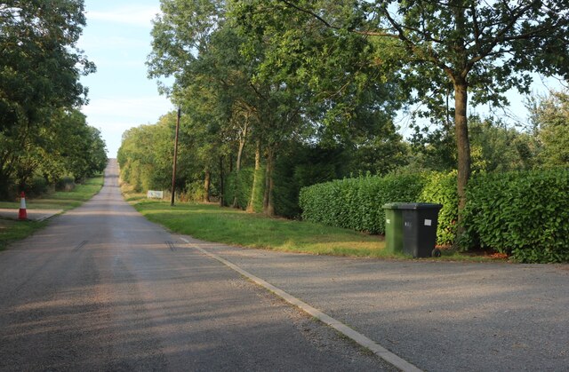
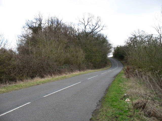
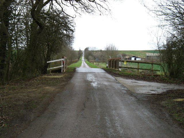
The village of Ellington is nestled in the picturesque countryside, surrounded by rolling hills, farmlands, and small waterways. It has a charming rural character and offers a tranquil and peaceful environment for its residents. The parish is primarily a residential area, with a mix of traditional cottages, modern houses, and a few local businesses.
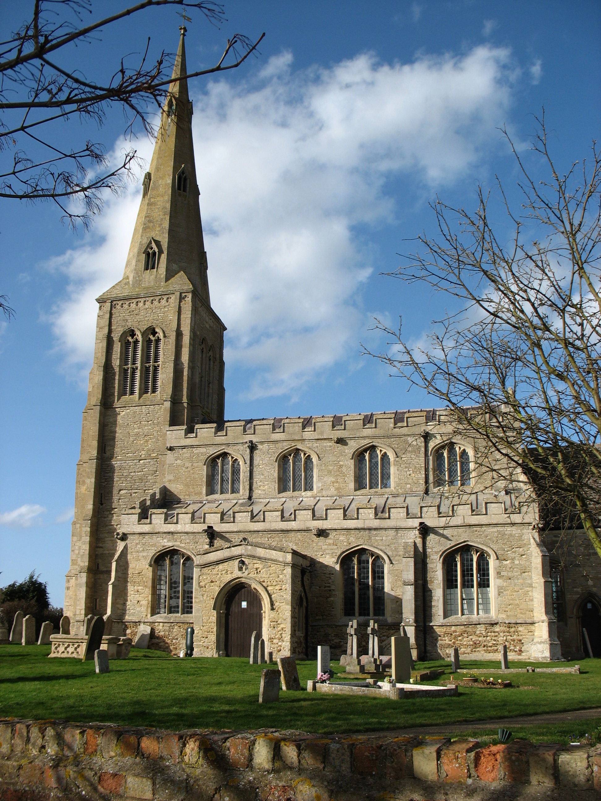
Ellington is known for its strong sense of community and has a range of amenities to cater to the needs of its residents. These include a village hall, a primary school, a pub, and a beautiful medieval church, St. Mary's Church, which has been a focal point of the village for centuries.
The parish is well-connected to neighboring towns and cities via a network of roads. The A14, a major road in the region, runs nearby, providing convenient access to Huntingdon, Cambridge, and beyond. Additionally, Ellington is served by regular bus services, making it easily accessible for those without private transportation.
The surrounding area offers plenty of opportunities for outdoor activities, such as walking, cycling, and fishing. The nearby Grafham Water, a large reservoir, is a popular spot for water sports enthusiasts. The beautiful countryside also provides a stunning backdrop for nature lovers and those seeking a peaceful retreat away from the hustle and bustle of city life.
If you have any feedback on the listing, please let us know in the comments section below.
Ellington Images
Images are sourced within 2km of 52.329796/-0.297181 or Grid Reference TL1671. Thanks to Geograph Open Source API. All images are credited.


Ellington is located at Grid Ref: TL1671 (Lat: 52.329796, Lng: -0.297181)
Administrative County: Cambridgeshire
District: Huntingdonshire
Police Authority: Cambridgeshire
What 3 Words
///dripped.climber.putts. Near Alconbury, Cambridgeshire
Nearby Locations
Related Wikis
Ellington, Cambridgeshire
Ellington is a village and civil parish in Cambridgeshire, England, 4 miles (6 km) west of Huntingdon in Huntingdonshire, a non-metropolitan district...
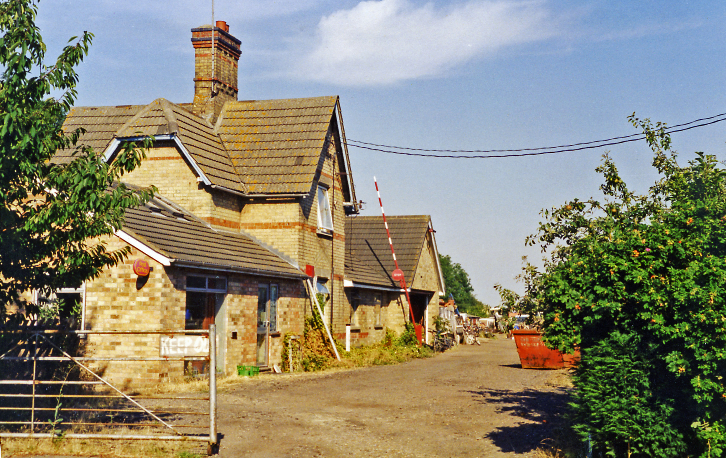
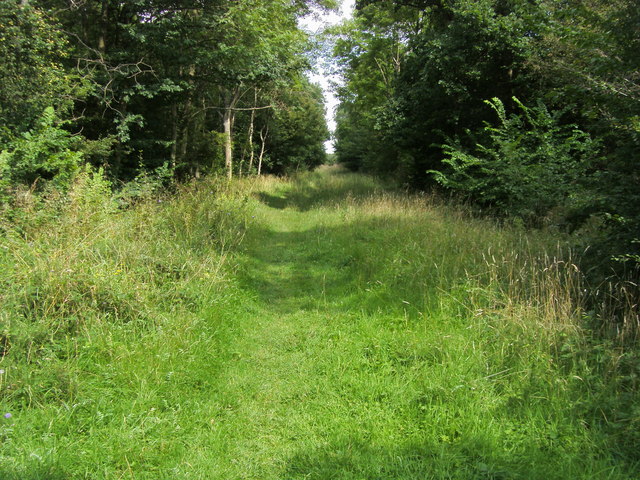
Grafham railway station
Grafham railway station was a railway station in Grafham, Cambridgeshire. The station and its line closed in 1959.In the 1990s the railway station buildings...
Brampton Wood
Brampton Wood is a 132.1-hectare (326-acre) biological Site of Special Scientific Interest in Cambridgeshire. The site is west of Brampton in Cambridgeshire...

Easton, Cambridgeshire
Easton is a village and civil parish in Cambridgeshire, England. Easton lies approximately 6 miles (10 km) west of Huntingdon, between the villages of...
Nearby Amenities
Located within 500m of 52.329796,-0.297181Have you been to Ellington?
Leave your review of Ellington below (or comments, questions and feedback).