Elkington
Civil Parish in Lincolnshire East Lindsey
England
Elkington
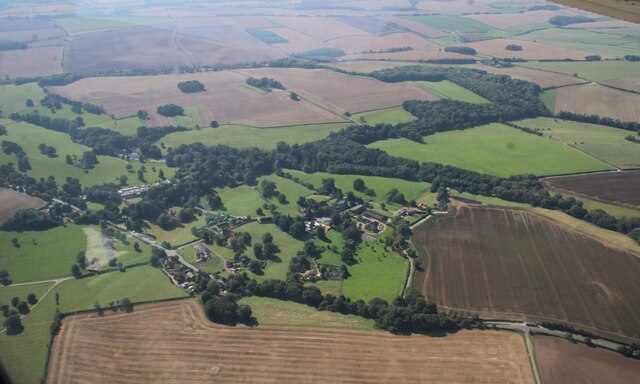
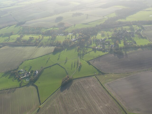
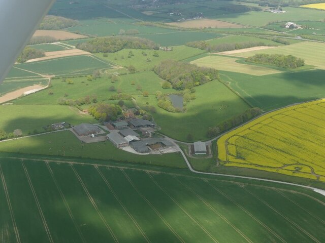
Elkington is a civil parish located in the East Lindsey district of Lincolnshire, England. Situated approximately 5 miles north-east of Louth, the village is nestled in a rural setting with stunning countryside views.
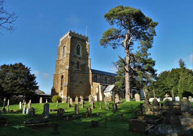
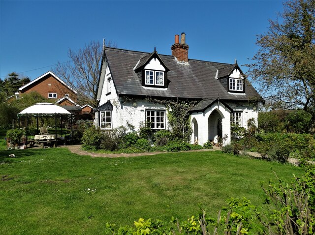
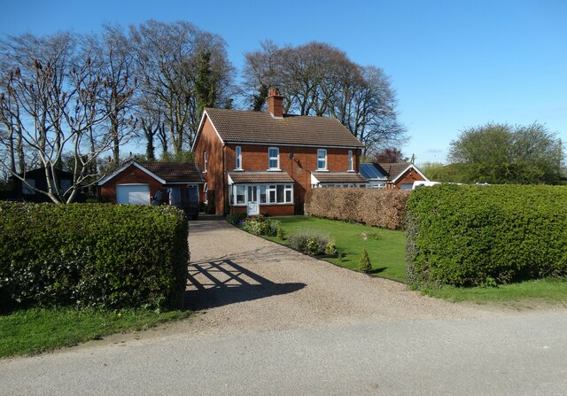
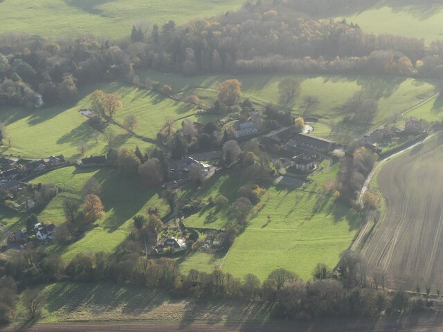
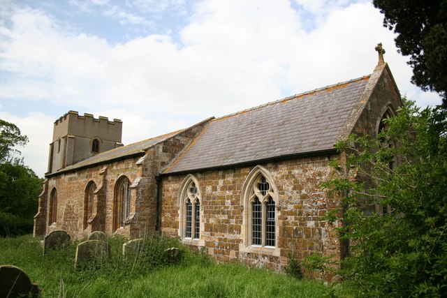
The parish covers an area of around 10 square kilometers and is home to a small population of approximately 200 residents. The village itself is characterized by beautiful stone houses, many of which date back to the 18th and 19th centuries, giving it a charming and historic feel.
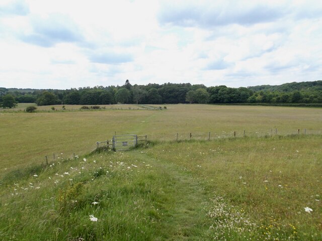
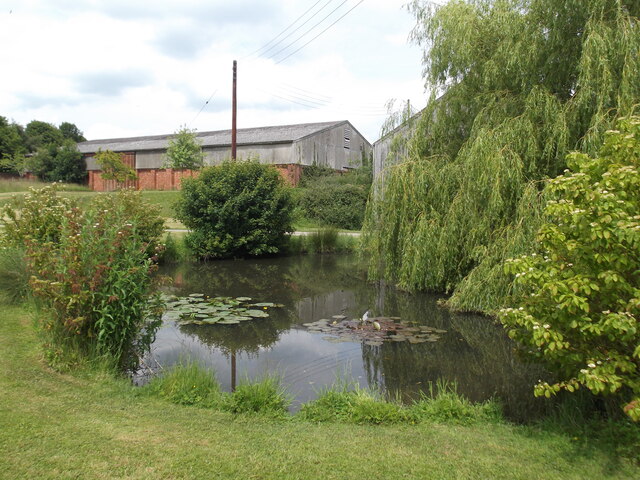
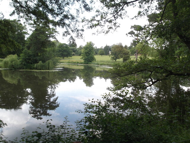
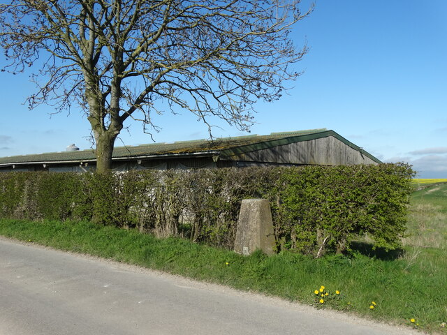
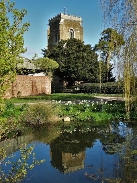
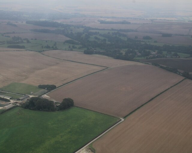
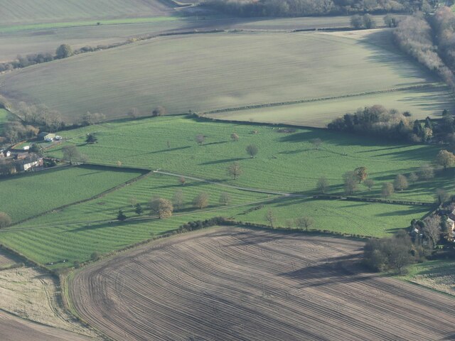
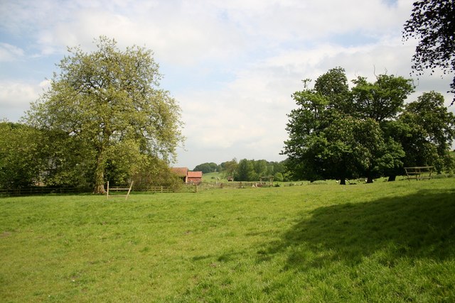
Elkington is renowned for its picturesque scenery, with rolling hills, open fields, and meandering streams. The surrounding countryside offers ample opportunities for outdoor activities such as walking, cycling, and birdwatching. The village is also close to the Lincolnshire Wolds, an Area of Outstanding Natural Beauty, which further enhances its appeal to nature enthusiasts.
Despite its small size, Elkington benefits from a strong sense of community. The village has a local pub that serves as a social hub for residents and visitors alike. Additionally, there is a village hall which hosts various events and activities throughout the year, fostering a sense of togetherness among the locals.
While Elkington is primarily a residential area, it is conveniently located near larger towns and cities. Louth, the nearest town, offers a range of amenities including shops, supermarkets, schools, and leisure facilities. The village is also well-connected by road, with easy access to the A16, making it an ideal place for those seeking a peaceful countryside lifestyle within reach of urban conveniences.
If you have any feedback on the listing, please let us know in the comments section below.
Elkington Images
Images are sourced within 2km of 53.387292/-0.058074 or Grid Reference TF2989. Thanks to Geograph Open Source API. All images are credited.


Elkington is located at Grid Ref: TF2989 (Lat: 53.387292, Lng: -0.058074)
Administrative County: Lincolnshire
District: East Lindsey
Police Authority: Lincolnshire
What 3 Words
///collected.samples.importers. Near Louth, Lincolnshire
Nearby Locations
Related Wikis

Acthorpe
Acthorpe is a hamlet in the East Lindsey district of Lincolnshire, England. It is situated approximately 2 miles (3 km) north-west from the town of Louth...

Welton Le Wold
Welton le Wold is a village and civil parish in the East Lindsey district of Lincolnshire, England. It is situated approximately 4 miles (6 km) west of...

Fotherby
Fotherby is a village and civil parish in the East Lindsey district of Lincolnshire, England. It is situated just east from the A16 road, 13 miles (21...

Fotherby Halt railway station
Fotherby Halt was a railway halt on the East Lincolnshire Railway which served the village of Fotherby in Lincolnshire between 1905 and 1961. The station...

Louth North railway station
Louth North railway station is the future southern terminus of the Lincolnshire Wolds Railway where it will occupy a new site on the Fairfield industrial...
Calcethorpe with Kelstern
Calcethorpe with Kelstern is a civil parish in the East Lindsey district of Lincolnshire, England. It is situated west from the market town of Louth, and...
North Ormsby Priory
North Ormsby Priory was a Gilbertine priory in North Ormsby, Lincolnshire, England. It was founded by Gilbert son of Robert of Ormsby with the consent...

County Hospital Louth
County Hospital Louth is a healthcare facility in High Holme Road, Louth, Lincolnshire, England. It is managed by United Lincolnshire Hospitals NHS Trust...
Nearby Amenities
Located within 500m of 53.387292,-0.058074Have you been to Elkington?
Leave your review of Elkington below (or comments, questions and feedback).