Edworth
Civil Parish in Bedfordshire
England
Edworth
The requested URL returned error: 429 Too Many Requests
If you have any feedback on the listing, please let us know in the comments section below.
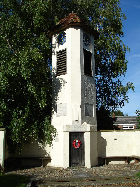
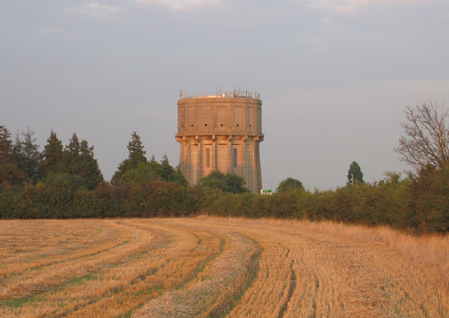
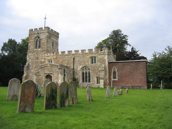
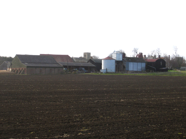
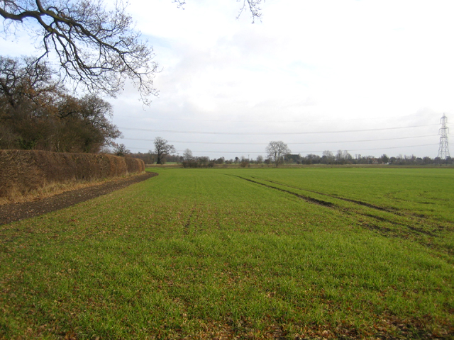
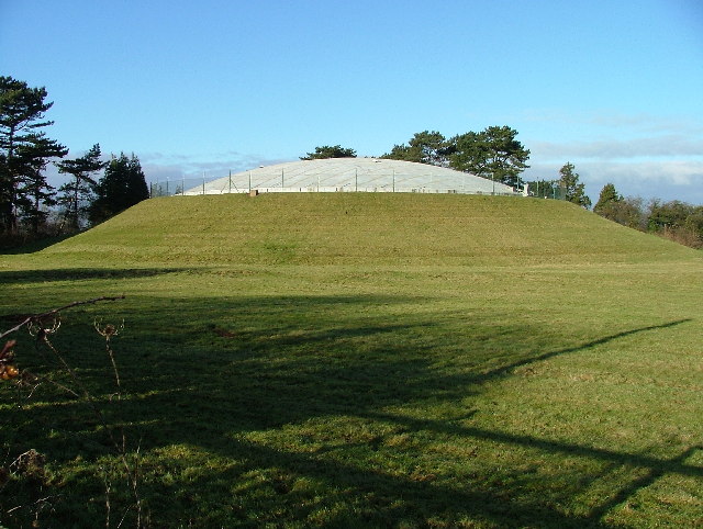
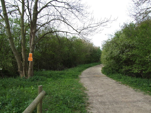
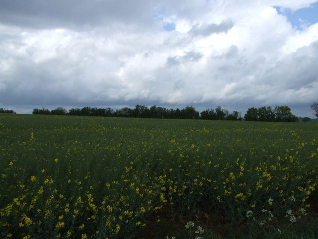
Edworth Images
Images are sourced within 2km of 52.054332/-0.215888 or Grid Reference TL2241. Thanks to Geograph Open Source API. All images are credited.


Edworth is located at Grid Ref: TL2241 (Lat: 52.054332, Lng: -0.215888)
Unitary Authority: Central Bedfordshire
Police Authority: Bedfordshire
What 3 Words
///establish.emerge.branded. Near Edworth, Bedfordshire
Nearby Locations
Related Wikis

Edworth Manor
Edworth Manor was a manor in Bedfordshire, England. The manor was mentioned in the Domesday Book. The manor was owned in the 16th & 17th centuries by the...
Edworth
Edworth is a hamlet and civil parish in the Central Bedfordshire district of the county of Bedfordshire, England about 12 miles (19 km) south-east of the...

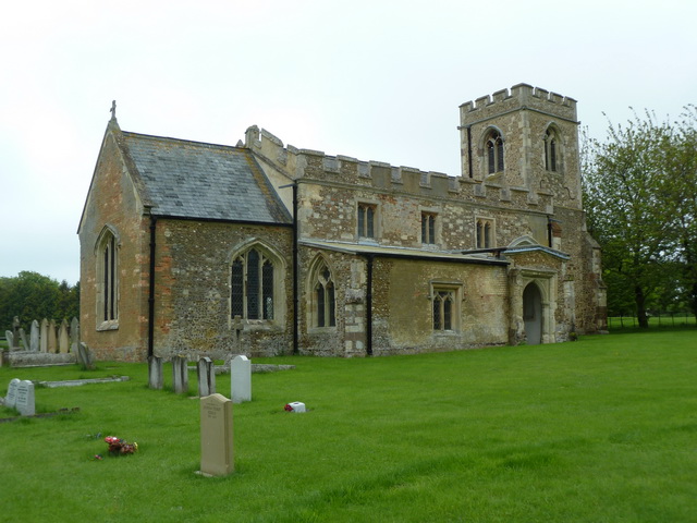
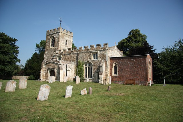
St George's Church, Edworth
St George's Church, Edworth, is a redundant Anglican church in the village of Edworth, Bedfordshire, England. It is recorded in the National Heritage...
Hinxworth
Hinxworth is a village and civil parish in North Hertfordshire, England. It sits just off the Great North Road between Baldock and Biggleswade. It has...
Nearby Amenities
Located within 500m of 52.054332,-0.215888Have you been to Edworth?
Leave your review of Edworth below (or comments, questions and feedback).