Edmondsham

Civil Parish in Dorset East Dorset

England

Edmondsham

River Crane spilling into the road
River Crane spilling into the road Credit: Clive Perrin

Edmondsham is a civil parish located in the county of Dorset, England. It is situated in the picturesque Cranborne Chase and West Wiltshire Downs Area of Outstanding Natural Beauty. The parish covers an area of approximately 6.5 square miles and is home to a small population of around 200 people.

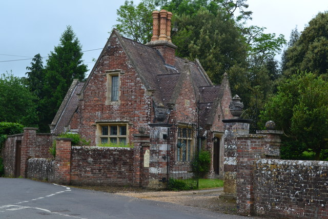
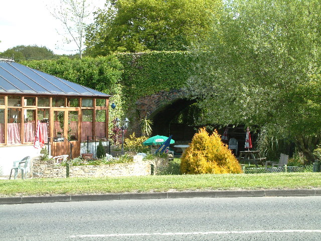
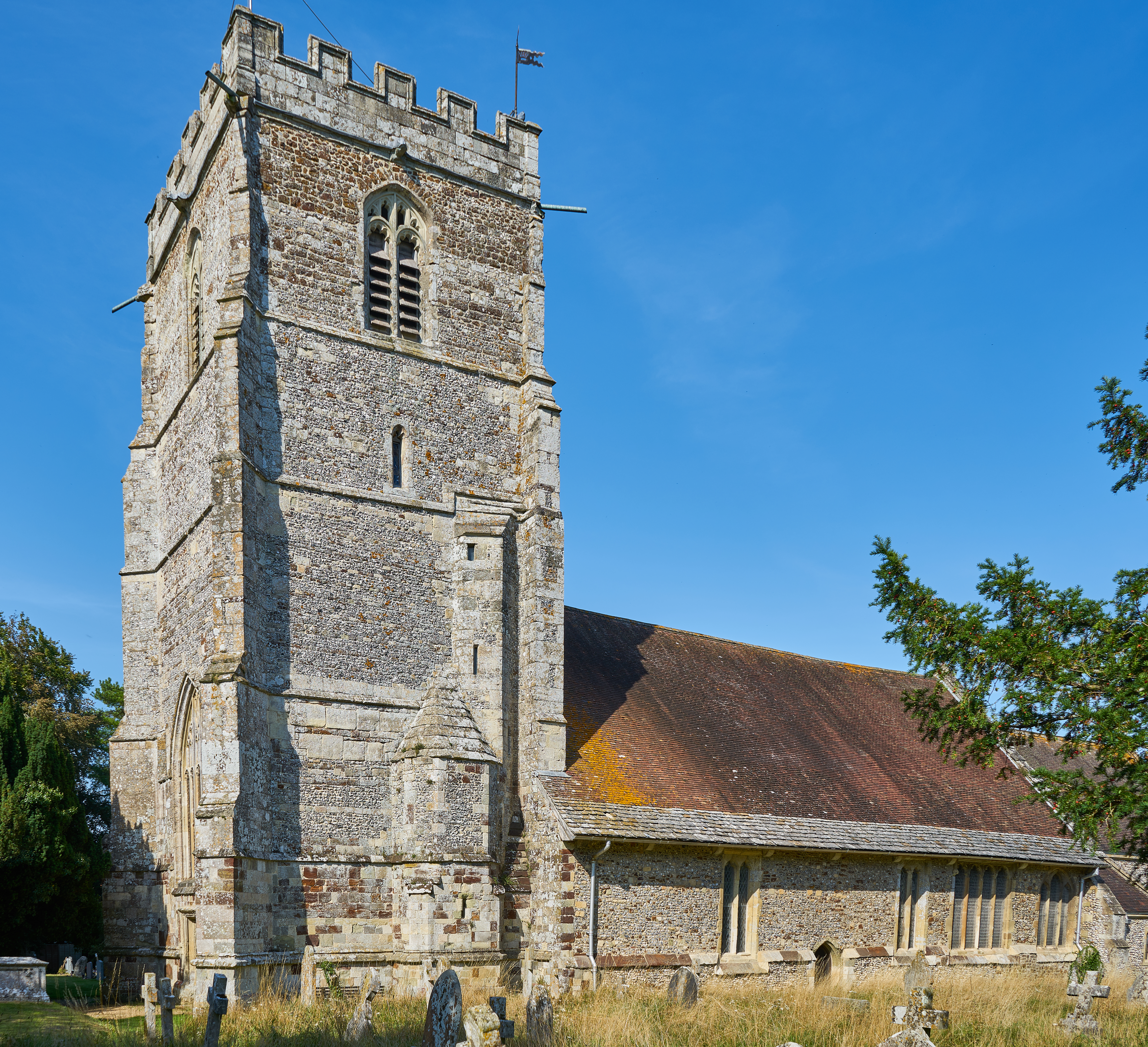
The village of Edmondsham itself is characterized by its charming traditional thatched cottages and historic buildings, including the Grade II listed Edmondsham House, a manor house dating back to the 16th century. The village also boasts a medieval church, St. Nicholas Church, which has a beautiful Norman doorway.

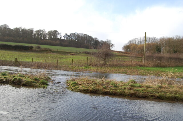
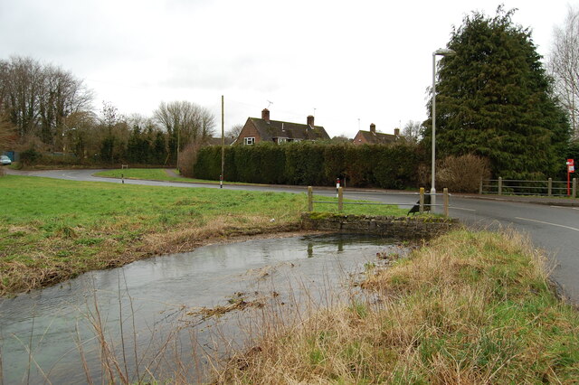
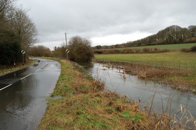
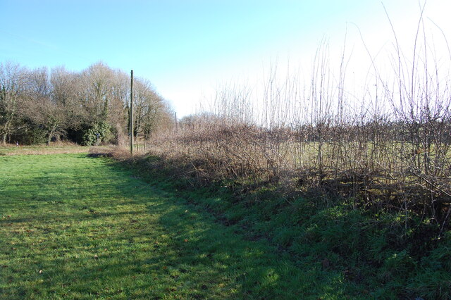
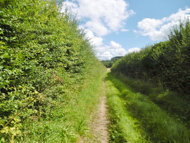
The surrounding countryside offers stunning views and is ideal for outdoor enthusiasts, with a network of footpaths and bridleways that crisscross the area. The River Allen, a chalk stream, meanders through the parish, adding to the area's natural beauty.

Edmondsham is a close-knit community, with various community events and activities taking place throughout the year. The village has a small primary school, which plays a central role in the community. There is also a village hall, where residents can gather for social events and gatherings.

Despite its small size, Edmondsham enjoys a rich history and a strong sense of community. It offers a peaceful and idyllic countryside setting, making it an attractive place to live for those seeking a rural retreat.

If you have any feedback on the listing, please let us know in the comments section below.
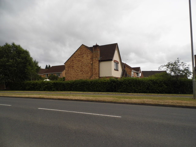
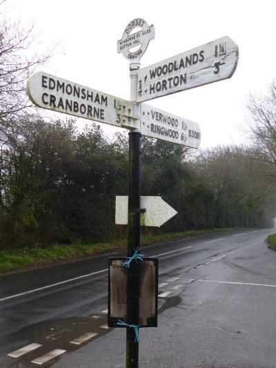
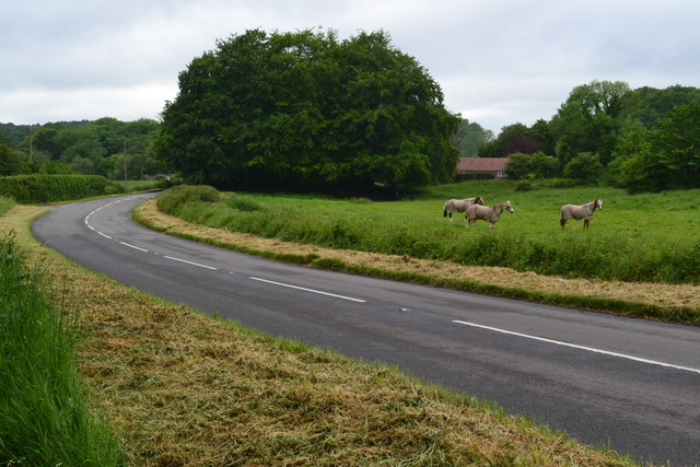
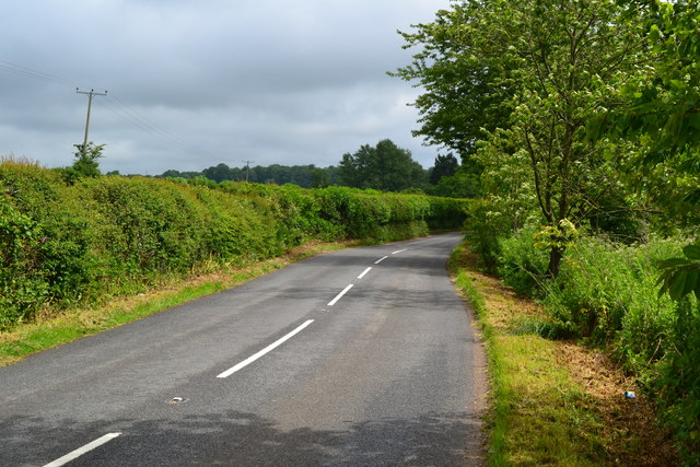
Edmondsham Images

Images are sourced within 2km of 50.901126/-1.901788 or Grid Reference SU0711. Thanks to Geograph Open Source API. All images are credited.

River Crane spilling into the road
River Crane in spate
Laid hedge showing vigorous new growth
House by Station Road, Romford I think there are more Station Roads in Britain without a station like this one than with one since the 60s.
House by Station Road, Romford
I think there are more Station Roads in Britain without a station like this one than with one since the 60s.
Permissive path near Sutton Hill Campsite There are a collection of permissive paths linking with footpaths and bridleways on the Edmundsham Estate.
Permissive path near Sutton Hill Campsite
There are a collection of permissive paths linking with footpaths and bridleways on the Edmundsham Estate.
Old Direction Sign - Signpost by the B3081, Sutton Hill, Wimborne St Giles Parish Annulus and bar finial - 3 arms; Dorset halo with NGR by the B3081, in parish of Wimborne St Giles (East Dorset District), Sutton Hill, junction of UC road to Woodlands, on verge.

Surveyed

Milestone Society National ID: DO_SU0609
Old Direction Sign - Signpost by the B3081, Sutton Hill, Wimborne St Giles Parish
Annulus and bar finial - 3 arms; Dorset halo with NGR by the B3081, in parish of Wimborne St Giles (East Dorset District), Sutton Hill, junction of UC road to Woodlands, on verge. Surveyed Milestone Society National ID: DO_SU0609
Fields beside Verwood Road
Woodland and field beside Verwood Road
Ford at Lower Holwell This ford on the River Crane is found just below Mill Farm at Lower Holwell. A video of the ford can be seen at:
<span class="nowrap"><a title="https://youtu.be/FNo6zIFcZ1k" rel="nofollow ugc noopener" href="https://youtu.be/FNo6zIFcZ1k">Link</a><img style="margin-left:2px;" alt="External link" title="External link - shift click to open in new window" src="https://s1.geograph.org.uk/img/external.png" width="10" height="10"/></span>
Ford at Lower Holwell
This ford on the River Crane is found just below Mill Farm at Lower Holwell. A video of the ford can be seen at: LinkExternal link
Horses beside Hare Lane
Hare Lane
Hare Lane
B3078 near Cranborne
Cranbone sewage works
Lodge at Edmondsham House
Holwell Farmhouse Cereal farm, judging from the surrounding fields; the farm has diversified into letting out buildings to craft industries, including bakery, brewery and woodturner.
Holwell Farmhouse
Cereal farm, judging from the surrounding fields; the farm has diversified into letting out buildings to craft industries, including bakery, brewery and woodturner.
Holwell, footpath Footpath and farm track between fields, from Cranborne to Jordan Hill.
Holwell, footpath
Footpath and farm track between fields, from Cranborne to Jordan Hill.
Holwell, stubble field Harvest home!
Holwell, stubble field
Harvest home!
Show me another place!

Edmondsham is located at Grid Ref: SU0711 (Lat: 50.901126, Lng: -1.901788)

Administrative County: Dorset

District: East Dorset

Police Authority: Dorset

What 3 Words

///dabbling.journey.hands. Near Verwood, Dorset

Related Wikis

Edmondsham

Edmondsham is a village in the county of Dorset in southern England. It is situated two miles north west of Verwood and ten miles north of Bournemouth...

Edmondsham House

Edmondsham House is a Tudor home with Georgian additions in Edmondsham near Wimborne Minster in Dorset, England. It is a Grade II* listed building. �...

Verwood railway station

Verwood railway station served the town of Verwood, Dorset, and its hinterland, from 1866 to 1964. It was one of many casualties of the mass closure of...

Boveridge

Boveridge is a hamlet in Dorset, England about 1 mile (1.6 km) north of Cranborne, 12 miles (19 km) south-west of Salisbury, Wiltshire, and 10 miles (16...

Monkton Up Wimborne Hundred

Monkton Up Wimborne Hundred or Up Wimborne Hundred was a hundred in the county of Dorset, England, containing the following parishes: Chettle Cranborne...

Cranborne

Cranborne is a village in East Dorset, England. At the 2011 census, the parish had a population of 779, remaining unchanged from 2001. The appropriate...

Cripplestyle

Cripplestyle is a hamlet in the civil parish of Alderholt in the county of Dorset, England. It lies close to the Dorset-Hampshire border. The nearest town...

Cranborne Hundred

Cranborne Hundred was a hundred in the county of Dorset, England, containing the following parishes: Ashmore Belchalwell (divided between Okeford Fitzpaine...

Nearby Amenities

Located within 500m of 50.901126,-1.901788
Material: wood
Power: pole
Source: bing
Lat/Long: 50.8980783/-1.8981083
Material: wood
Power: pole
Source: bing
Lat/Long: 50.898332/-1.8963971
Material: wood
Power: pole
Source: bing
Lat/Long: 50.8983692/-1.8992053
Material: wood
Power: pole
Source: bing
Transformer: distribution
Lat/Long: 50.8986636/-1.900289
Material: wood
Power: pole
Source: bing
Lat/Long: 50.8987871/-1.8975719
Material: wood
Power: pole
Source: bing
Lat/Long: 50.8988531/-1.9009756
Material: wood
Power: pole
Source: bing
Lat/Long: 50.8990341/-1.9016569
Material: wood
Power: pole
Source: bing
Lat/Long: 50.8992421/-1.8987252
Material: wood
Power: pole
Source: bing
Lat/Long: 50.8996786/-1.8999
Material: wood
Power: pole
Source: bing
Lat/Long: 50.8997192/-1.9028236
Material: wood
Power: pole
Source: bing
Lat/Long: 50.8999949/-1.9032608
Material: wood
Power: pole
Source: bing
Lat/Long: 50.9000254/-1.9013055
Material: wood
Power: pole
Source: bing
Lat/Long: 50.9000609/-1.9060933
Material: wood
Power: pole
Source: bing
Lat/Long: 50.9002368/-1.9076275
Material: wood
Power: pole
Source: bing
Lat/Long: 50.9003248/-1.9039904
Material: wood
Power: pole
Source: bing
Lat/Long: 50.9004686/-1.9040145
Material: wood
Power: pole
Source: bing
Lat/Long: 50.9010505/-1.9049614
Material: wood
Power: pole
Source: bing
Lat/Long: 50.9016493/-1.9059457
Material: wood
Power: pole
Source: bing
Lat/Long: 50.9021855/-1.9068336
Material: wood
Power: pole
Source: bing
Lat/Long: 50.9026879/-1.9077133
The data included in this document is from www.openstreetmap.org. The data is made available under ODbL.

Have you been to Edmondsham?

Leave your review of Edmondsham below (or comments, questions and feedback).