Edlaston and Wyaston
Civil Parish in Derbyshire Derbyshire Dales
England
Edlaston and Wyaston

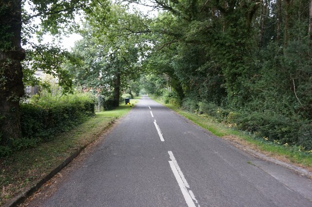
Edlaston and Wyaston is a civil parish located in the county of Derbyshire, England. It is situated approximately 6 miles south of Ashbourne and covers an area of around 5 square miles. The parish is composed of two main villages, Edlaston and Wyaston, which are often regarded as one entity.
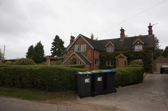
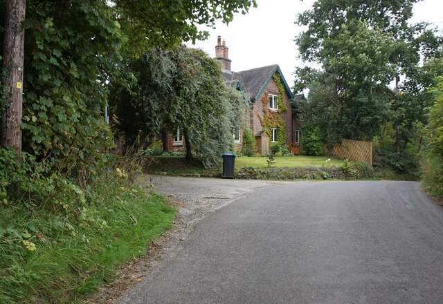
Edlaston is a small, picturesque village with a population of just over 200 people. It is known for its charming cottages, many of which date back to the 18th century. The village is surrounded by beautiful countryside, offering residents and visitors stunning views and ample opportunities for outdoor activities such as hiking and cycling. The village also has a village hall, which serves as a community hub for various events and activities.
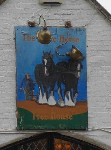
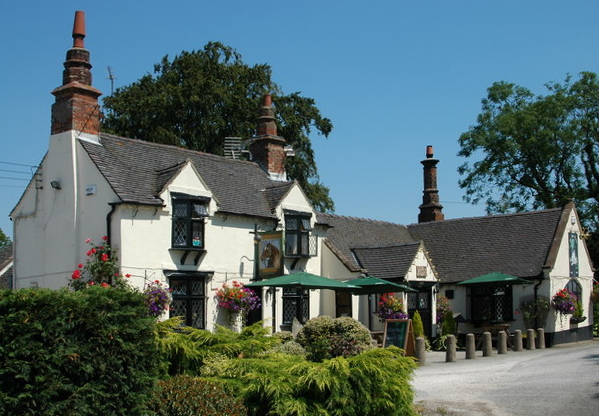
Wyaston, on the other hand, is a slightly larger village with a population of around 400 people. It is characterized by its mix of architectural styles, ranging from traditional stone houses to more modern developments. The village is home to a primary school, providing education for local children, as well as a village pub, which serves as a social gathering place for residents.
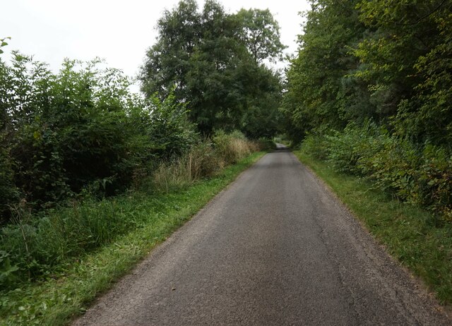
Both villages benefit from their proximity to the Peak District National Park, a popular tourist destination known for its natural beauty and outdoor recreational opportunities. The area is also well-connected, with good transport links to nearby towns and cities, making it an attractive place to live for those seeking a tranquil rural setting with easy access to urban amenities. Overall, Edlaston and Wyaston offer a peaceful and idyllic setting for residents and visitors alike.
If you have any feedback on the listing, please let us know in the comments section below.
Edlaston and Wyaston Images
Images are sourced within 2km of 52.984251/-1.743098 or Grid Reference SK1743. Thanks to Geograph Open Source API. All images are credited.


Edlaston and Wyaston is located at Grid Ref: SK1743 (Lat: 52.984251, Lng: -1.743098)
Administrative County: Derbyshire
District: Derbyshire Dales
Police Authority: Derbyshire
What 3 Words
///dare.enough.grafted. Near Mayfield, Staffordshire
Nearby Locations
Related Wikis
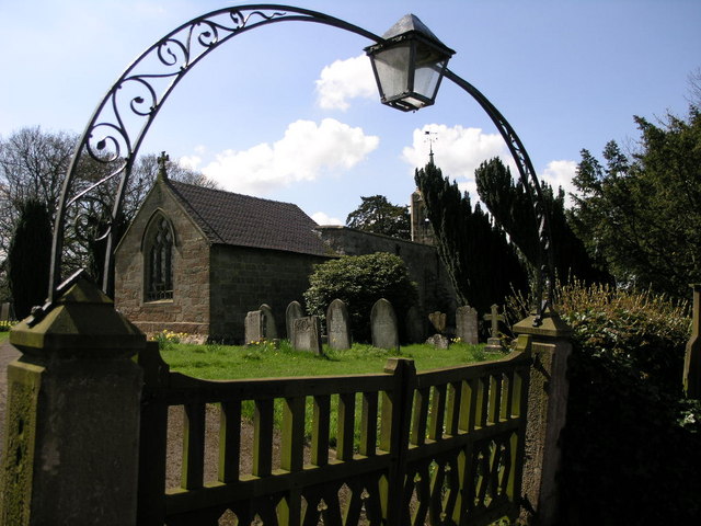
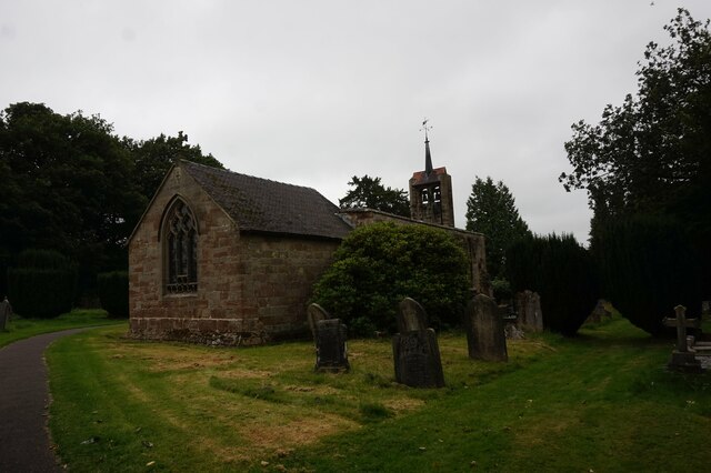
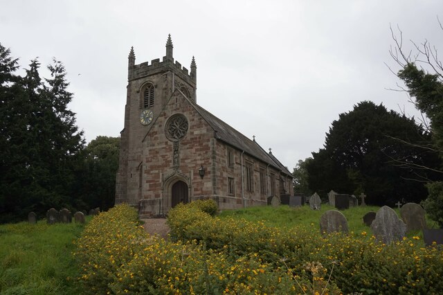
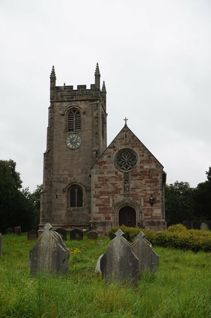
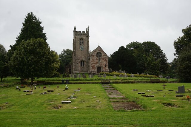
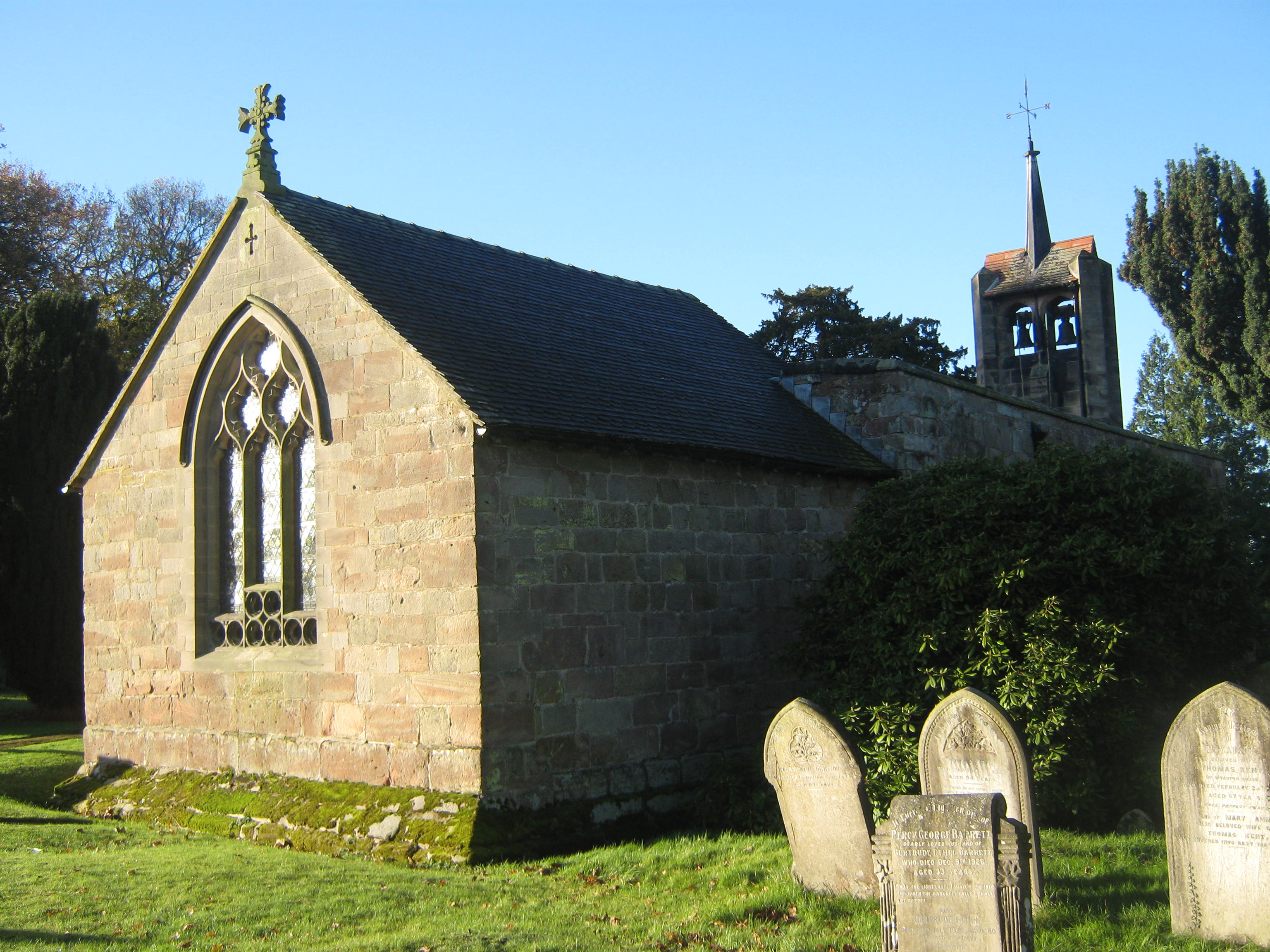
St James' Church, Edlaston
St James’ Church, Edlaston is a Grade II* listed parish church in the Church of England: 207 in Edlaston, Derbyshire. == History == The church dates from...
Edlaston
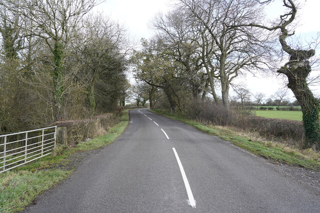
Edlaston is a village three miles south of Ashbourne in Derbyshire, just off the A515 road. It is in close proximity to the hamlet of Wyaston, and the...
Edlaston and Wyaston
Edlaston and Wyaston is a civil parish within the Derbyshire Dales district, in the county of Derbyshire, England. The parish includes the villages of...
Wyaston
Wyaston is a hamlet in Derbyshire, England. It is located 3 miles south of Ashbourne. Wyaston is in the civil parish of Edlaston and Wyaston. This is 1...
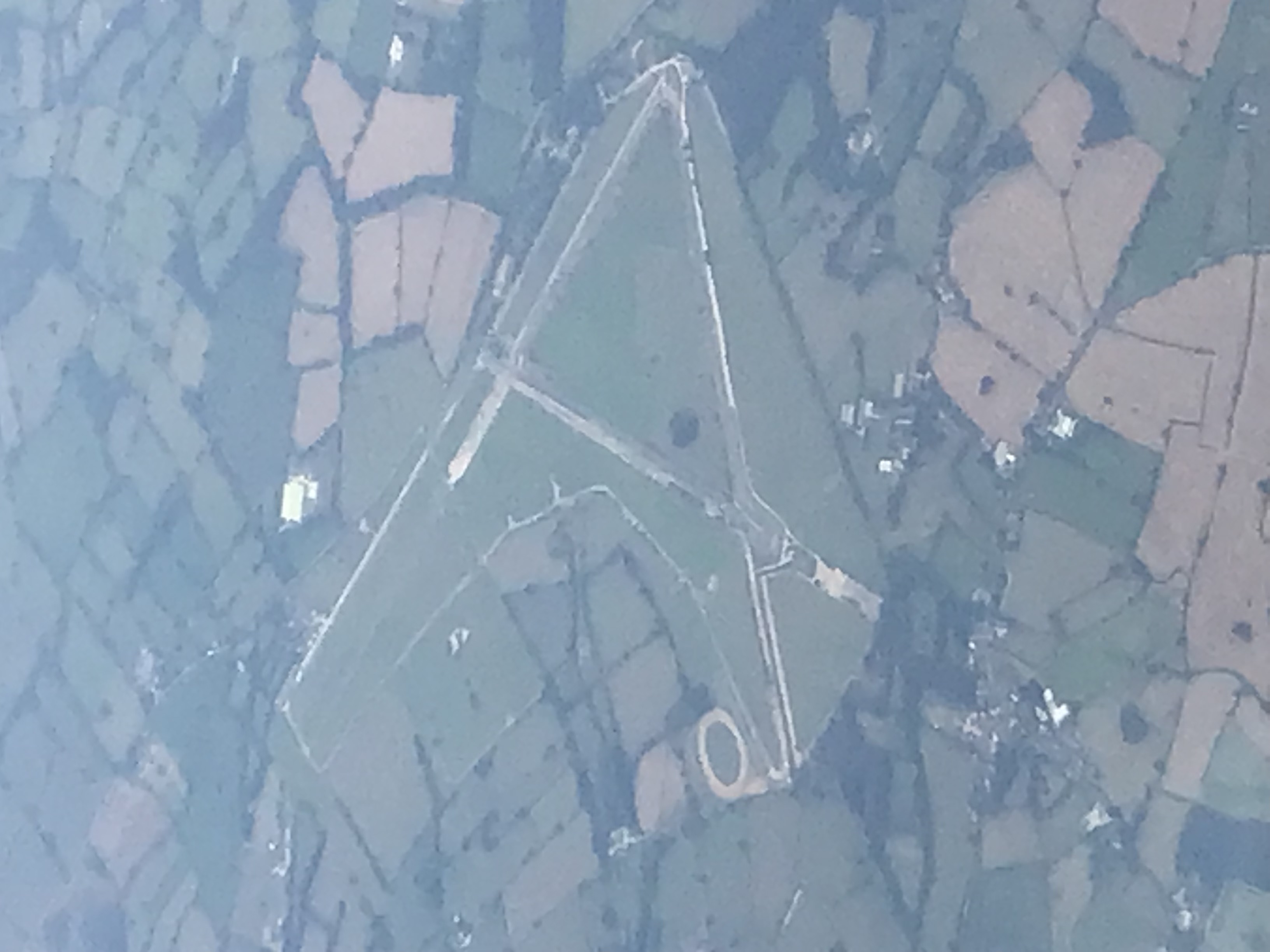
Darley Moor Airfield
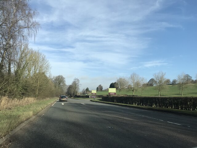
Darley Moor Airfield and Road Race Circuit is situated on a high plateau adjacent to the A515, two miles south of Ashbourne, Derbyshire, England. The airfield...

St Peter's Church, Snelston
St Peter's Church, Snelston is a Grade II* listed parish church in the Church of England: 319 in Snelston, Derbyshire. == History == The church dates...

Clifton and Compton
Clifton and Compton is a civil parish within the Derbyshire Dales district, in the county of Derbyshire, England. The parish, despite the name, only includes...

Clifton, Derbyshire
Clifton is a village in the Derbyshire Dales district of Derbyshire, England. The village is situated about 1.2 miles (2 km) south west of Ashbourne,...
Nearby Amenities
Located within 500m of 52.984251,-1.743098Have you been to Edlaston and Wyaston?
Leave your review of Edlaston and Wyaston below (or comments, questions and feedback).