Eaton Bray

Civil Parish in Bedfordshire

England

Eaton Bray

Beacon View Nice executive homes.
Beacon View Credit: Jeremy Bolwell

Eaton Bray is a civil parish located in the county of Bedfordshire, England. Situated approximately four miles southwest of the town of Dunstable, it is a small village with a population of around 2,000 residents. The village is nestled in the picturesque Chiltern Hills, offering beautiful views and a tranquil atmosphere.

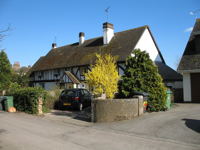
Eaton Bray has a rich history dating back centuries. It was mentioned in the Domesday Book of 1086 and has since been a thriving agricultural community. The village is known for its traditional English charm, with its quaint cottages, historic buildings, and a village green surrounded by a variety of trees.

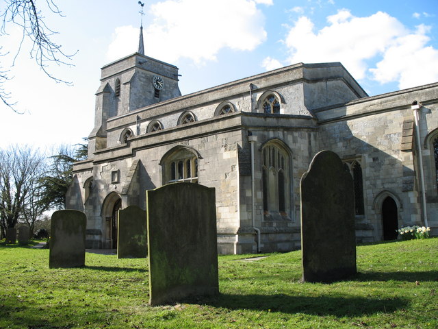
The heart of Eaton Bray is the All Saints Church, a Grade I listed building that dates back to the 14th century. The church is a prominent feature in the village, attracting visitors with its stunning architecture and fascinating history. The village also has a primary school, local shops, and a community center, offering essential amenities to its residents.

Surrounded by beautiful countryside, Eaton Bray provides ample opportunities for outdoor activities. The nearby Chiltern Hills offer scenic walks and cycling routes, while the Dunstable Downs, a short distance away, provide breathtaking views of the surrounding area.

Overall, Eaton Bray is a charming village with a rich history, picturesque surroundings, and a close-knit community. It offers a peaceful and idyllic lifestyle for its residents, making it a desirable place to live in the Bedfordshire county.

If you have any feedback on the listing, please let us know in the comments section below.
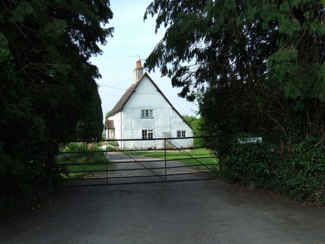
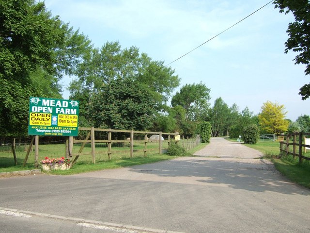
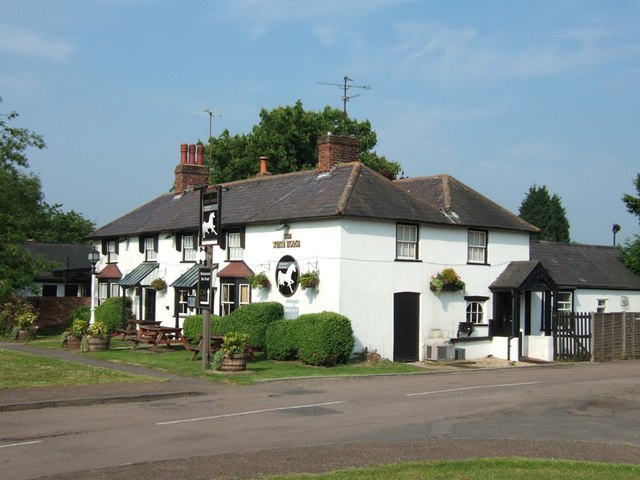
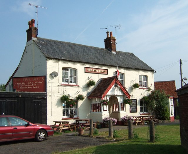
Eaton Bray Images

Images are sourced within 2km of 51.883468/-0.600123 or Grid Reference SP9621. Thanks to Geograph Open Source API. All images are credited.

Beacon View Nice executive homes.
Beacon View
Nice executive homes.
Northall Village Hall A great local amenity. Nicely maintained too.
Northall Village Hall
A great local amenity. Nicely maintained too.
Parish Paths Partnership PPP is a measure to ensure paths stay used and open, through promoting their benefits. Surely a valuable lesson against the backdrop of a national virus pandemic, lockdowns, furlough schemes, lifestyle re-evaluations, mental health benefits of outdoor exercise, community spirit and social cohesion etc.
Parish Paths Partnership
PPP is a measure to ensure paths stay used and open, through promoting their benefits. Surely a valuable lesson against the backdrop of a national virus pandemic, lockdowns, furlough schemes, lifestyle re-evaluations, mental health benefits of outdoor exercise, community spirit and social cohesion etc.
The Swan public house Another nice pub.
The Swan public house
Another nice pub.
September Cottage and No.2 Charming semi-detached cottages on the south side of Church Lane, Eaton Bray.
September Cottage and No.2
Charming semi-detached cottages on the south side of Church Lane, Eaton Bray.
St Mary the Virgin - Eaton Bray The church dates to the 13th Century and is built from stone quarried in the nearby village of Totternhoe.   There is further information and a virtual tour at <span class="nowrap"><a title="http://www.stmaryseatonbray.org.uk/About-Our-Church/" rel="nofollow ugc noopener" href="http://www.stmaryseatonbray.org.uk/About-Our-Church/">Link</a><img style="margin-left:2px;" alt="External link" title="External link - shift click to open in new window" src="https://s1.geograph.org.uk/img/external.png" width="10" height="10"/></span>
St Mary the Virgin - Eaton Bray
The church dates to the 13th Century and is built from stone quarried in the nearby village of Totternhoe. There is further information and a virtual tour at LinkExternal link
Village Green - Eaton Bray The green is divided by a road and served by two pubs - The Five Bells on the Right and The White Horse on the left.
Village Green - Eaton Bray
The green is divided by a road and served by two pubs - The Five Bells on the Right and The White Horse on the left.
Northall Baptist Church ... in case you hadn't noticed ! Some places can be tricky to identify, while others ...
This is down a little lane which strikes off to the southwest from the busy A4146 through the main part of Northall.
Northall Baptist Church
... in case you hadn't noticed ! Some places can be tricky to identify, while others ... This is down a little lane which strikes off to the southwest from the busy A4146 through the main part of Northall.
"Barncroft", Eaton Bray This is one of several houses and cottages along a lane called "The Rye" leading westwards out of Eaton Bray. It looks quite old, and seems to have had its timbers painted over rather than the usual black & white appearance of such half-timbered buildings.
"Barncroft", Eaton Bray
This is one of several houses and cottages along a lane called "The Rye" leading westwards out of Eaton Bray. It looks quite old, and seems to have had its timbers painted over rather than the usual black & white appearance of such half-timbered buildings.
Ouzel Brook Looking North-East as the lane called The Rye crosses the Ouzel Brook between Eaton Bray and Billington. Originally I thought that this was the River Ouzel, but in fact it joins that river just a few hundred yards to the southwest in this same square. Looking at the map, the River Ouzel can be seen coming northwestwards from the direction of Eaton Bray and joining this Ouzel Brook at a T-junction. The River Ouzel is the county boundary between Buckinghamshire (to the south) and Bedfordshire (to the north). This county boundary is marked by dark dashes and dots along its course, while the Ouzel Brook has the dots of a Civil Parish boundary, with Billington CP to the NW and Eaton Bray CP to the SE.
Ouzel Brook
Looking North-East as the lane called The Rye crosses the Ouzel Brook between Eaton Bray and Billington. Originally I thought that this was the River Ouzel, but in fact it joins that river just a few hundred yards to the southwest in this same square. Looking at the map, the River Ouzel can be seen coming northwestwards from the direction of Eaton Bray and joining this Ouzel Brook at a T-junction. The River Ouzel is the county boundary between Buckinghamshire (to the south) and Bedfordshire (to the north). This county boundary is marked by dark dashes and dots along its course, while the Ouzel Brook has the dots of a Civil Parish boundary, with Billington CP to the NW and Eaton Bray CP to the SE.
Ouzel Brook off The Rye Looking South-West as the lane called The Rye crosses the Ouzel Brook between Eaton Bray and Billington. About 300 yards/metres to the Southwest this brook meets the - not much bigger - River Ouzel. For more information see <a href="https://www.geograph.org.uk/photo/182656">SP9521 : Ouzel Brook</a>
Ouzel Brook off The Rye
Looking South-West as the lane called The Rye crosses the Ouzel Brook between Eaton Bray and Billington. About 300 yards/metres to the Southwest this brook meets the - not much bigger - River Ouzel. For more information see SP9521 : Ouzel Brook
Farm Buildings along The Rye These are a group of isolated farm buildings alongside the lane called The Rye between Eaton Bray and Billington.
Farm Buildings along The Rye
These are a group of isolated farm buildings alongside the lane called The Rye between Eaton Bray and Billington.
Entrance to Mead Open Farm As can be seen from the sign, Mead Farm is open to the public every day.
Entrance to Mead Open Farm
As can be seen from the sign, Mead Farm is open to the public every day.
The Rye near Billington The lane from Eaton Bray to Billington is called The Rye. Here it is approaching a T-junction with Stanbridge Road near Billington. Most of the lane is through fields, but this last stretch is overarched by trees as can be seen.
The Rye near Billington
The lane from Eaton Bray to Billington is called The Rye. Here it is approaching a T-junction with Stanbridge Road near Billington. Most of the lane is through fields, but this last stretch is overarched by trees as can be seen.
Terraced cottages, Northall - with cat These cottages are at the end of the lane with <a href="https://www.geograph.org.uk/photo/182652">SP9520 : Northall Baptist Church</a> on it. They run along part of the Two Ridges Link.
Terraced cottages, Northall - with cat
These cottages are at the end of the lane with SP9520 : Northall Baptist Church on it. They run along part of the Two Ridges Link.
The White Horse, Eaton Bray One of two pubs virtually next to each other in the middle of Eaton Bray. The other pub is <a href="https://www.geograph.org.uk/photo/183109">SP9620 : The Five Bells, Eaton Bray</a>
The White Horse, Eaton Bray
One of two pubs virtually next to each other in the middle of Eaton Bray. The other pub is SP9620 : The Five Bells, Eaton Bray
The Five Bells, Eaton Bray This pub advertises itself as a Thai restaurant. It is adjacent to <a href="https://www.geograph.org.uk/photo/183107">SP9620 : The White Horse, Eaton Bray</a>
The Five Bells, Eaton Bray
This pub advertises itself as a Thai restaurant. It is adjacent to SP9620 : The White Horse, Eaton Bray
Great Green Farm, Eaton Bray A rather messy looking farmyard on The Rye, Eaton Bray.
Great Green Farm, Eaton Bray
A rather messy looking farmyard on The Rye, Eaton Bray.
Show me another place!

Eaton Bray is located at Grid Ref: SP9621 (Lat: 51.883468, Lng: -0.600123)

Unitary Authority: Central Bedfordshire

Police Authority: Bedfordshire

What 3 Words

///struts.absorb.hitters. Near Eaton Bray, Bedfordshire

Nearby Locations

Eaton Bray

Related Wikis

Eaton Bray

Eaton Bray is a village and civil parish in Bedfordshire, England. It is situated about three miles south-west of the town of Dunstable and is part of...

Eaton Bray Rural District

Eaton Bray was a rural district in Bedfordshire, England from 1894 to 1933. == History == The district had its origins in the Leighton Buzzard Rural Sanitary...

Church of St Mary, Eaton Bray

Church of St Mary is a Grade I listed church in Eaton Bray, Bedfordshire, England. It became a listed building on 3 February 1967. The arcades of the nave...
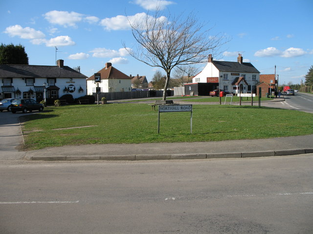
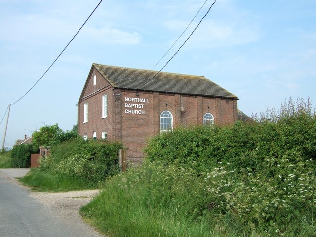
Northall

Northall is a hamlet in the parish of Edlesborough, in Buckinghamshire, England. This large hamlet straddles the A4146 road halfway between Edlesborough...

Nearby Amenities

Located within 500m of 51.883468,-0.600123
Place: farm
Lat/Long: 51.884659/-0.6024129
Building: yes
Lat/Long: 51.8848709/-0.6033678
Place: farm
Lat/Long: 51.8837782/-0.5949242
Place: farm
Lat/Long: 51.8822152/-0.597306
Place: farm
Lat/Long: 51.8835795/-0.5977459
Building: yes
Lat/Long: 51.8819636/-0.5958469
Building: yes
Lat/Long: 51.8817053/-0.5945165
Direction: 200
Generator Method: photovoltaic
Generator Output Electricity: yes
Generator Solar Modules: 22
Generator Source: solar
Generator Type: solar_photovoltaic_panel
Location: roof
Power: generator
Lat/Long: 51.8827339/-0.5988064
The data included in this document is from www.openstreetmap.org. The data is made available under ODbL.

Have you been to Eaton Bray?

Leave your review of Eaton Bray below (or comments, questions and feedback).