Broadway

Settlement in Pembrokeshire

Wales

Broadway

North end of Broad Haven beach Looking south-east to Emmet Rock and beyond to the houses  and hotel at Broad Haven.
North end of Broad Haven beach Credit: Trevor Rickard

Broadway is a small village located in Pembrokeshire, Wales. Situated approximately 2 miles east of the town of Laugharne, Broadway is nestled in a picturesque rural setting. The village is known for its charming and tranquil atmosphere, attracting visitors looking to escape the hustle and bustle of city life.

Broadway is characterized by its traditional Welsh architecture, with many of the buildings dating back to the 18th and 19th centuries. The village offers a delightful mix of stone cottages, quaint shops, and a local pub, providing a warm and welcoming ambiance to residents and visitors alike.

Surrounded by stunning countryside, Broadway is an ideal location for outdoor enthusiasts. The village is surrounded by rolling hills, verdant meadows, and picturesque woodland, offering ample opportunities for walking, hiking, and cycling. The nearby Laugharne estuary also provides a beautiful backdrop for leisurely strolls and birdwatching.

In terms of amenities, Broadway offers limited facilities, with a few local shops and services catering to the needs of the community. However, for a wider range of amenities, residents can easily access the nearby town of Laugharne, which offers a wider selection of shops, restaurants, and recreational facilities.

Broadway's central location ensures easy access to other attractions in Pembrokeshire. The village is within a short drive of the stunning Pembrokeshire Coast National Park, renowned for its rugged cliffs, sandy beaches, and abundant wildlife. Additionally, the historic town of Carmarthen is just a short distance away, providing further options for shopping, dining, and entertainment.

Overall, Broadway offers a peaceful and idyllic setting, making it an attractive destination for those seeking a quiet retreat in the heart of the Welsh countryside.

If you have any feedback on the listing, please let us know in the comments section below.
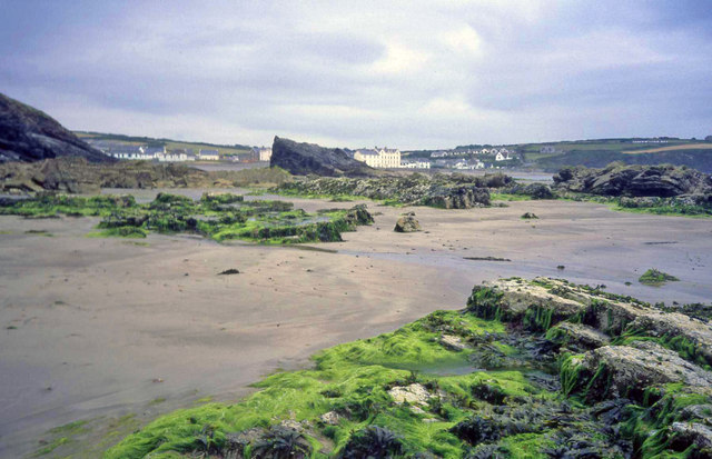
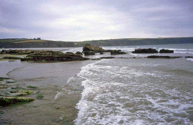
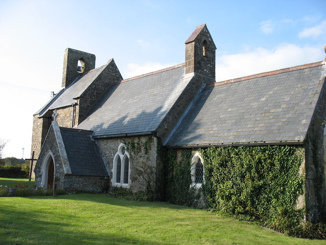
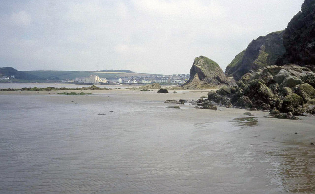
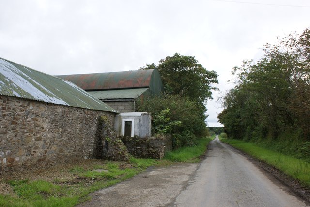
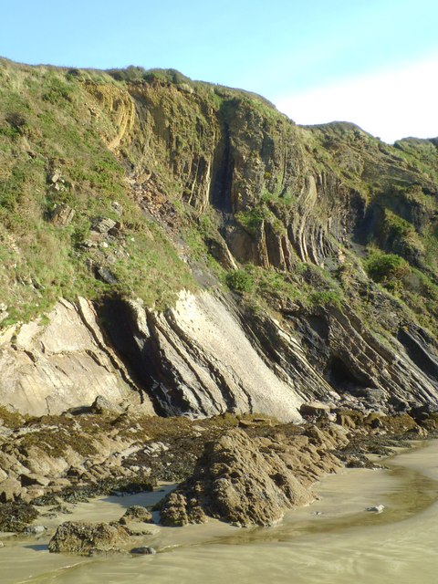
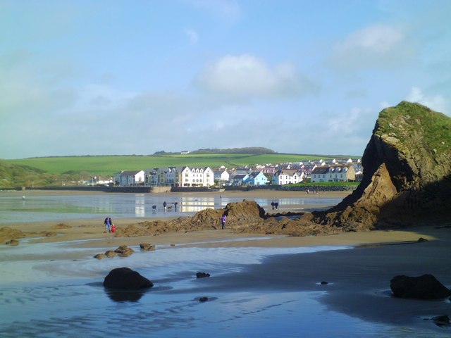
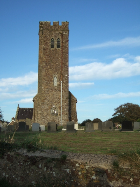
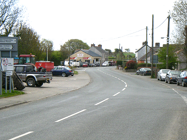
Broadway Images

Images are sourced within 2km of 51.781479/-5.078379 or Grid Reference SM8713. Thanks to Geograph Open Source API. All images are credited.

North end of Broad Haven beach Looking south-east to Emmet Rock and beyond to the houses  and hotel at Broad Haven.
North end of Broad Haven beach
Looking south-east to Emmet Rock and beyond to the houses and hotel at Broad Haven.
Shag Rock and Broad Haven Beach Looking south at low tide towards the cliffs at Little haven.
Shag Rock and Broad Haven Beach
Looking south at low tide towards the cliffs at Little haven.
All Saints Church, Walton West
Broad Haven beach At low tide looking north-east towards the village. Settlands rocks on the right.
Broad Haven beach
At low tide looking north-east towards the village. Settlands rocks on the right.
Entrance to Rosehill Caravan Park
Broomsgrove Farm. Long Lane Looking south-west towards Broad Haven.
Broomsgrove Farm. Long Lane
Looking south-west towards Broad Haven.
Folded rock strata at The Settlands Folded sedimentary rocks of carboniferous age coal measure sandstones, shales etc. The coal measure series run in a narrow band from St Bride's Bay eastwards through the Haverfordwest area to emerge on the SE coast near Saundersfoot. Coal was once mined in this area, but the contorted strata gives some idea as to how difficult extraction must have been.
Folded rock strata at The Settlands
Folded sedimentary rocks of carboniferous age coal measure sandstones, shales etc. The coal measure series run in a narrow band from St Bride's Bay eastwards through the Haverfordwest area to emerge on the SE coast near Saundersfoot. Coal was once mined in this area, but the contorted strata gives some idea as to how difficult extraction must have been.
Heading for Broad Haven At low tide one can walk along the beach from Little Haven to Broad Haven. This is the view of Broad Haven beach and village as the second headland is passed.
Heading for Broad Haven
At low tide one can walk along the beach from Little Haven to Broad Haven. This is the view of Broad Haven beach and village as the second headland is passed.
Broad Haven beach Looking across the sandy beach towards buildings on the sea front.
Broad Haven beach
Looking across the sandy beach towards buildings on the sea front.
Rocky foreshore at Broad Haven At the north end of Broad Haven beach, sand gives way to rocks and cliffs composed of coal measures sandstones.
Rocky foreshore at Broad Haven
At the north end of Broad Haven beach, sand gives way to rocks and cliffs composed of coal measures sandstones.
Broad Haven beach The north end of the beach where rocky outcrops and cliffs take over from smooth sands.
Broad Haven beach
The north end of the beach where rocky outcrops and cliffs take over from smooth sands.
Evening light, Broad Haven beach October sunset from Broad Haven beach. Looking towards the Marloes peninsula and Stack Rocks.
Evening light, Broad Haven beach
October sunset from Broad Haven beach. Looking towards the Marloes peninsula and Stack Rocks.
Sunset at Broad Haven October sunset from the north end of Broad Haven beach.
Sunset at Broad Haven
October sunset from the north end of Broad Haven beach.
Fenton Farm The original farmhouse forms the middle section of the visible building, which has been extended on each end (in 2003) to make it into a large family residence. The barns around the farmyard have been converted to good self-catering lets.
Fenton Farm
The original farmhouse forms the middle section of the visible building, which has been extended on each end (in 2003) to make it into a large family residence. The barns around the farmyard have been converted to good self-catering lets.
Along Gilton Lane In the general direction of Giltons Farm and the village of Broadway.
Along Gilton Lane
In the general direction of Giltons Farm and the village of Broadway.
Giltons Farm Along the access road to Giltons Farm.
Giltons Farm
Along the access road to Giltons Farm.
Stubble north of Giltons Across a partially harvested wheatfield, with Foxhill Farm beyond.
Stubble north of Giltons
Across a partially harvested wheatfield, with Foxhill Farm beyond.
Stubble field north of Giltons
Show me another place!

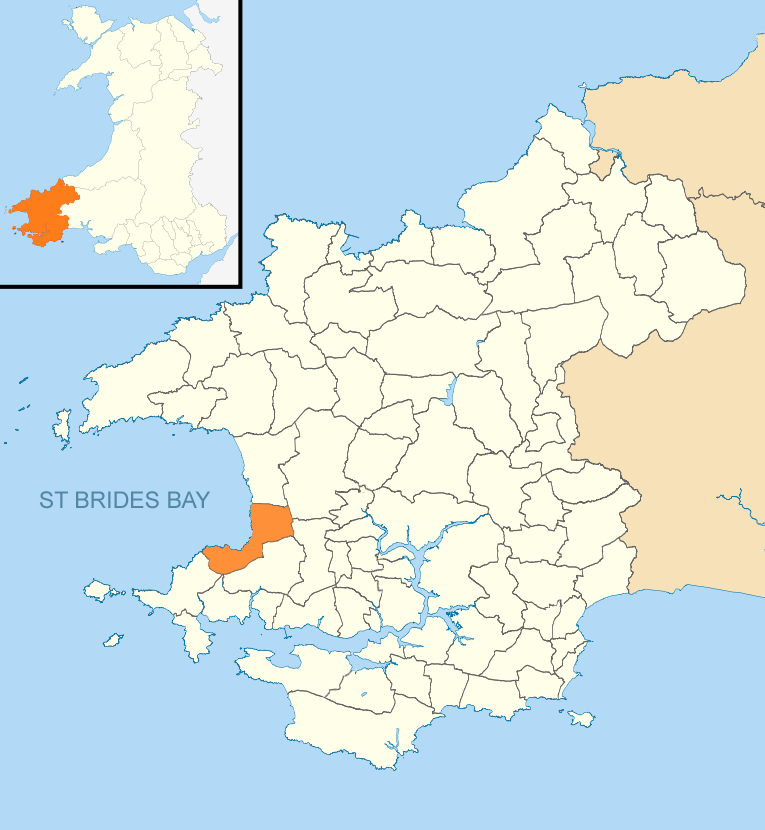
Broadway is located at Grid Ref: SM8713 (Lat: 51.781479, Lng: -5.078379)

Unitary Authority: Pembrokeshire

Police Authority: Dyfed Powys

What 3 Words

///narrating.corals.seagull. Near Broad Haven, Pembrokeshire

Nearby Locations

Broadway

Related Wikis

The Havens

The Havens is the name of a community and an electoral ward in Pembrokeshire, West Wales. The community includes the villages of Little Haven, Broad Haven...

Little Haven

Little Haven (Welsh: Hafan Fach) is a village at the south-east corner of St Bride's Bay, Pembrokeshire, Wales. It is in the Pembrokeshire Coast National...

Broad Haven

Broad Haven (Welsh: Aberllydan) is a village and seaside resort in the south east corner of St Bride's Bay at the western terminus of the B4341 road in...

Haroldston West

Haroldston West is a rural coastal parish in west Pembrokeshire, Wales, 5.5 miles (8.9 km) west of Haverfordwest. It is in the community of Merlin's Bridge...

Little and Broad Haven Lifeboat Station

Little and Broad Haven Lifeboat Station is a Royal National Lifeboat Institution (RNLI) lifeboat station in Pembrokeshire, West Wales. The station was...

Walwyn's Castle

Walwyn's Castle (Welsh: Castell Gwalchmai) is a village, parish and community in the county of Pembrokeshire, Wales, and is 84 miles (135 km) from Cardiff...

Druidston

Druidston is a hamlet within the community of Nolton and Roch on the St Brides Bay coast of Pembrokeshire, Wales. Druidston Cross is an eastern outlier...

Tiers Cross

Tiers Cross is a village, community and electoral ward containing the community in Pembrokeshire, West Wales. It includes the areas of Thornton and Dreenhill...

Nearby Amenities

Located within 500m of 51.781479,-5.078379
Broadway
Created By: Potlatch 0.10b
Place: hamlet
Lat/Long: 51.7812014/-5.0760709
Direction: S
Generator Method: photovoltaic
Generator Output Electricity: yes
Generator Solar Modules: 12
Generator Source: solar
Generator Type: solar_photovoltaic_panel
Location: roof
Power: generator
Lat/Long: 51.7814663/-5.0812505
Direction: S
Generator Method: photovoltaic
Generator Output Electricity: yes
Generator Solar Modules: 9
Generator Source: solar
Generator Type: solar_photovoltaic_panel
Location: roof
Power: generator
Lat/Long: 51.7811577/-5.0805505
Direction: S
Generator Method: photovoltaic
Generator Output Electricity: yes
Generator Solar Modules: 6
Generator Source: solar
Generator Type: solar_photovoltaic_panel
Location: roof
Power: generator
Lat/Long: 51.7811601/-5.0806175
The data included in this document is from www.openstreetmap.org. The data is made available under ODbL.

Have you been to Broadway?

Leave your review of Broadway below (or comments, questions and feedback).