Eastfield
Civil Parish in Yorkshire Scarborough
England
Eastfield

Eastfield is a civil parish located in the county of Yorkshire, England. Situated in the borough of Scarborough, it is a small community with a population of approximately 5,000 residents. Eastfield is conveniently located just a few miles away from the popular seaside town of Scarborough, making it an attractive residential area for those seeking a quieter lifestyle while still having easy access to amenities and attractions.
The parish is primarily residential, consisting of a mix of housing types including detached houses, semi-detached houses, and some apartment complexes. There are also a number of green spaces and parks scattered throughout the area, providing residents with opportunities for outdoor activities and relaxation.
Eastfield benefits from excellent transport links, with the A64 road passing nearby and providing easy access to the neighboring towns and cities. The nearby Scarborough railway station offers regular train services to major cities such as York and Leeds, further enhancing the area's connectivity.
Residents of Eastfield have access to a range of amenities, including several schools, a supermarket, local shops, and a community center. For leisure and recreation, there are numerous sports facilities, including a leisure center with a swimming pool and a golf course.
Overall, Eastfield offers a pleasant and convenient place to live, with its proximity to Scarborough's amenities and attractions, good transport links, and a range of local facilities. Its residential nature and green spaces make it an appealing option for those seeking a peaceful and family-friendly community in the heart of Yorkshire.
If you have any feedback on the listing, please let us know in the comments section below.
Eastfield Images
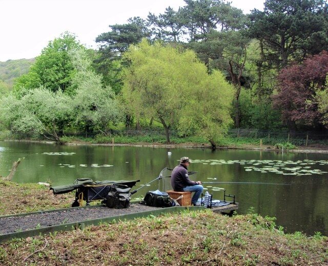
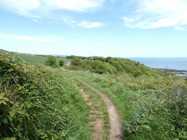
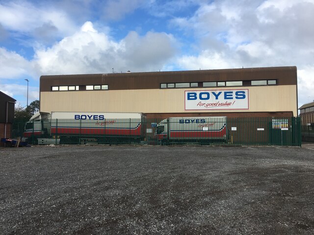
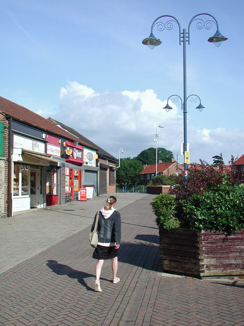
Images are sourced within 2km of 54.245697/-0.39991 or Grid Reference TA0484. Thanks to Geograph Open Source API. All images are credited.


Eastfield is located at Grid Ref: TA0484 (Lat: 54.245697, Lng: -0.39991)
Division: North Riding
Administrative County: North Yorkshire
District: Scarborough
Police Authority: North Yorkshire
What 3 Words
///grins.tonic.boosted. Near Scarborough, North Yorkshire
Nearby Locations
Related Wikis
Eastfield, North Yorkshire
Eastfield is a town and civil parish in North Yorkshire, England. It was granted town status in January 2016. It is directly south of Scarborough and is...

George Pindar School
George Pindar School is a coeducational secondary school in Eastfield, Scarborough in North Yorkshire, England. It was previously named George Pindar Community...
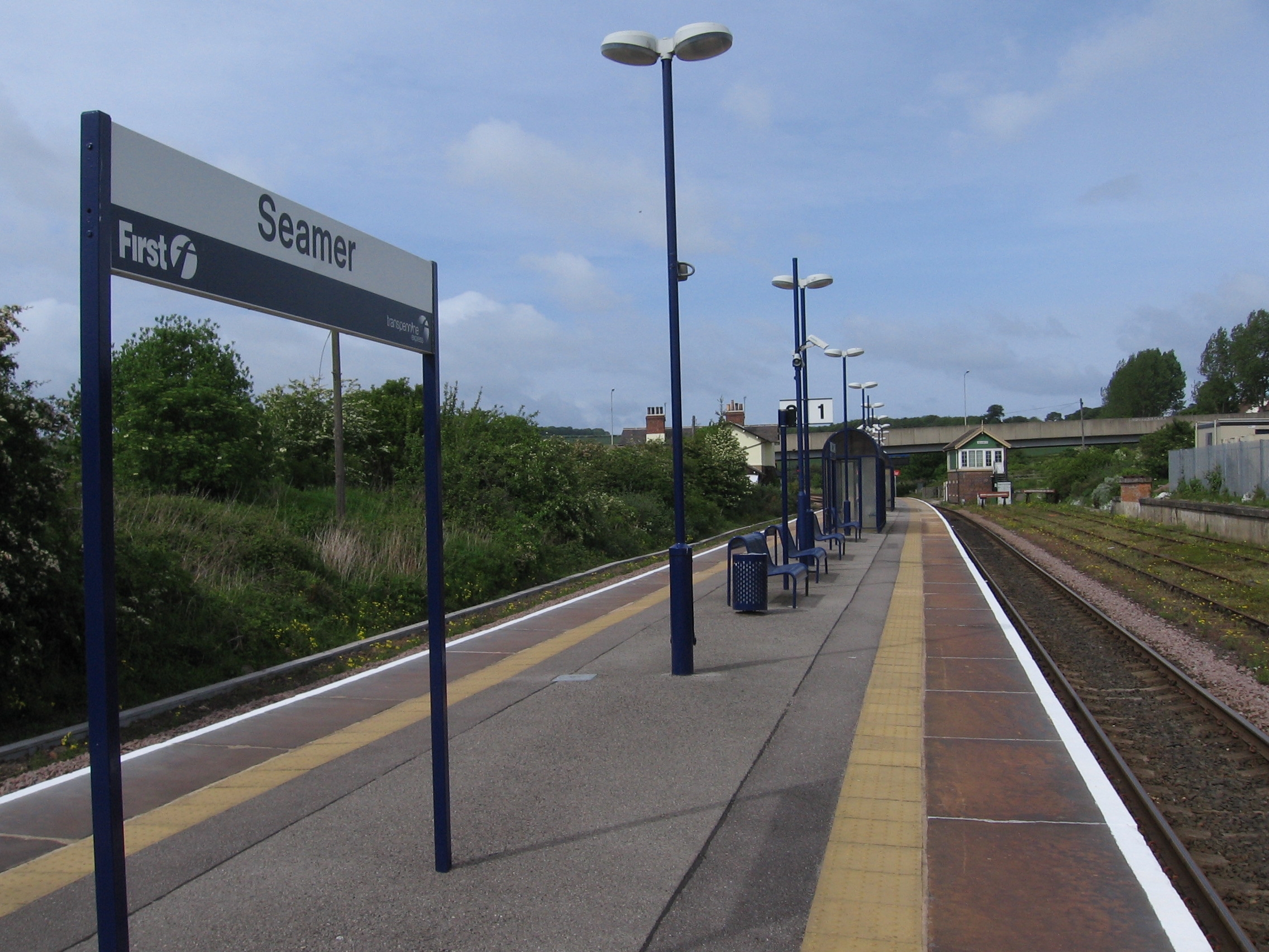
Seamer railway station
Seamer railway station serves the village of Seamer in North Yorkshire, England. It lies near the end of the Scarborough branch on the TransPennine Express...

Osgodby, coastal North Yorkshire
Osgodby is a village and civil parish in the district and county of North Yorkshire, England. Until 2023, it was in the borough of Scarborough. Approximately...
Nearby Amenities
Located within 500m of 54.245697,-0.39991Have you been to Eastfield?
Leave your review of Eastfield below (or comments, questions and feedback).