Eastcotts
Civil Parish in Bedfordshire
England
Eastcotts
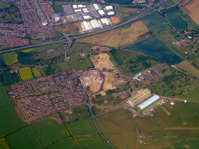
Eastcotts is a civil parish located in the county of Bedfordshire, England. It is situated approximately 2 miles south of Bedford town center and covers an area of around 5 square miles. The parish is bordered by the parishes of Cardington, Cople, Wilstead, and Cotton End.
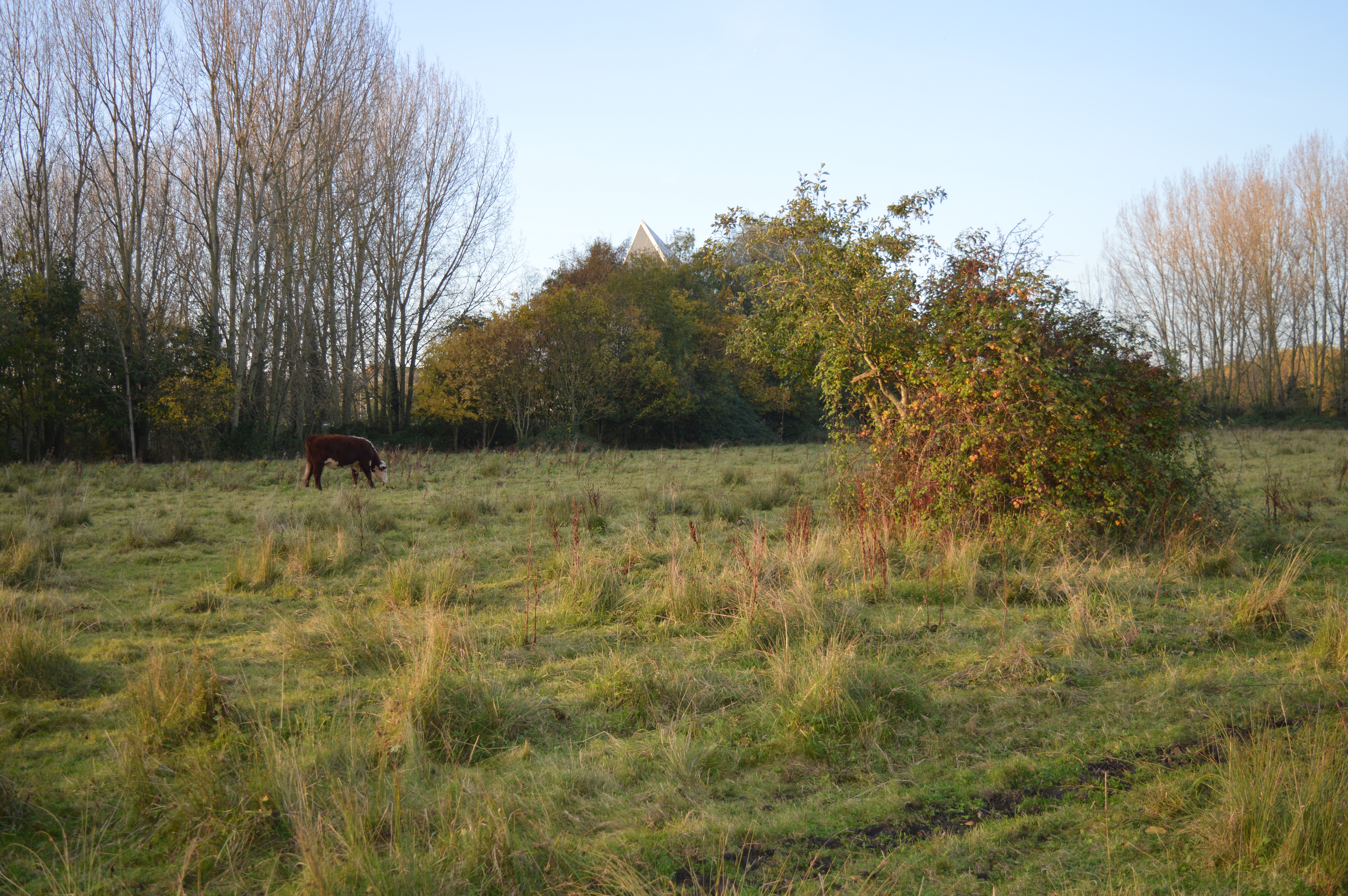
The landscape of Eastcotts is primarily rural, characterized by open fields, farmland, and some small woodland areas. The River Ouse runs through the eastern boundary of the parish, providing scenic views and recreational opportunities for residents and visitors alike.
The population of Eastcotts is estimated to be around 2,500 people, living in a mix of residential areas, including the villages of Shortstown and Southcotts. The majority of residents are employed in nearby towns and cities, such as Bedford and Milton Keynes.
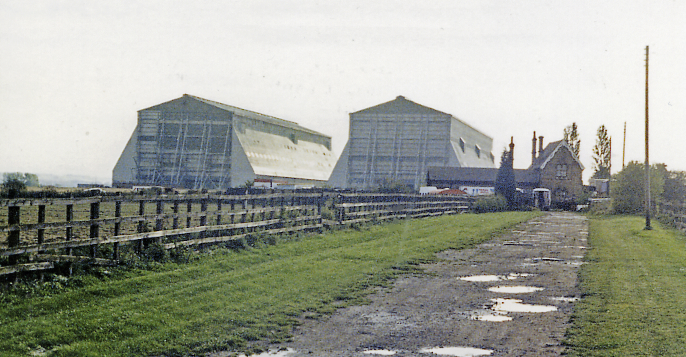
Eastcotts has a rich history, with evidence of human habitation dating back to the prehistoric period. The area was predominantly agricultural until the 20th century when the Shortstown Aerodrome was established during World War I. Today, the former aerodrome site has been redeveloped into a residential area.
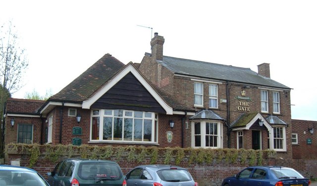
The parish is served by several amenities, including a primary school, a community center, and a local pub. Additionally, there are numerous footpaths and bridleways that allow for enjoyable walks and outdoor activities in the surrounding countryside.
Overall, Eastcotts offers a peaceful and picturesque setting for those seeking a rural lifestyle while still having easy access to nearby towns and amenities.
If you have any feedback on the listing, please let us know in the comments section below.
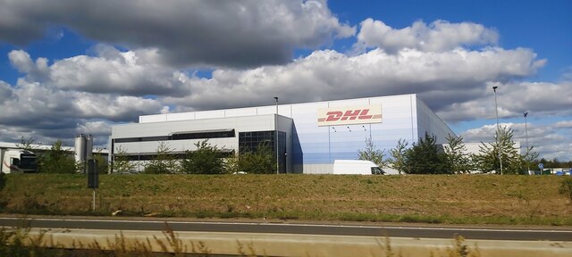
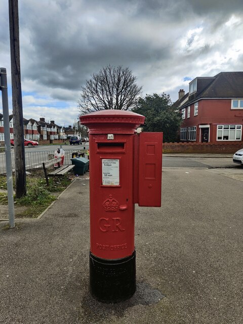
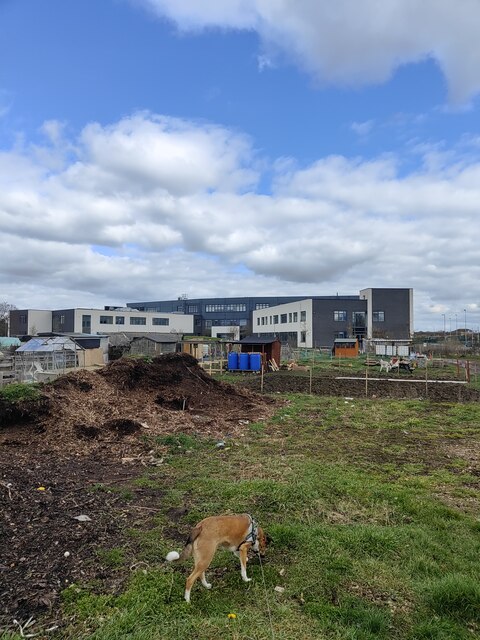
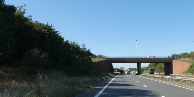
Eastcotts Images
Images are sourced within 2km of 52.117492/-0.43506 or Grid Reference TL0747. Thanks to Geograph Open Source API. All images are credited.


Eastcotts is located at Grid Ref: TL0747 (Lat: 52.117492, Lng: -0.43506)
Unitary Authority: Bedford
Police Authority: Bedfordshire
What 3 Words
///tides.jelly.wacky. Near Cardington, Bedfordshire
Related Wikis
Harrowden, Bedfordshire
Harrowden is a one-street hamlet in the civil parish of Eastcotts, in Bedfordshire. Harrowden has only 18 houses and 32 people on the electoral roll. Elstow...
Kingsbrook, Bedford
Kingsbrook is an electoral ward and area within the town of Bedford, England. The boundaries of Kingsbrook are approximately the River Great Ouse and Priory...

Shortstown
Shortstown is a village and civil parish on the outskirts of Bedford, on a ridge above the River Great Ouse, originally called Tinkers Hill.This ridge...
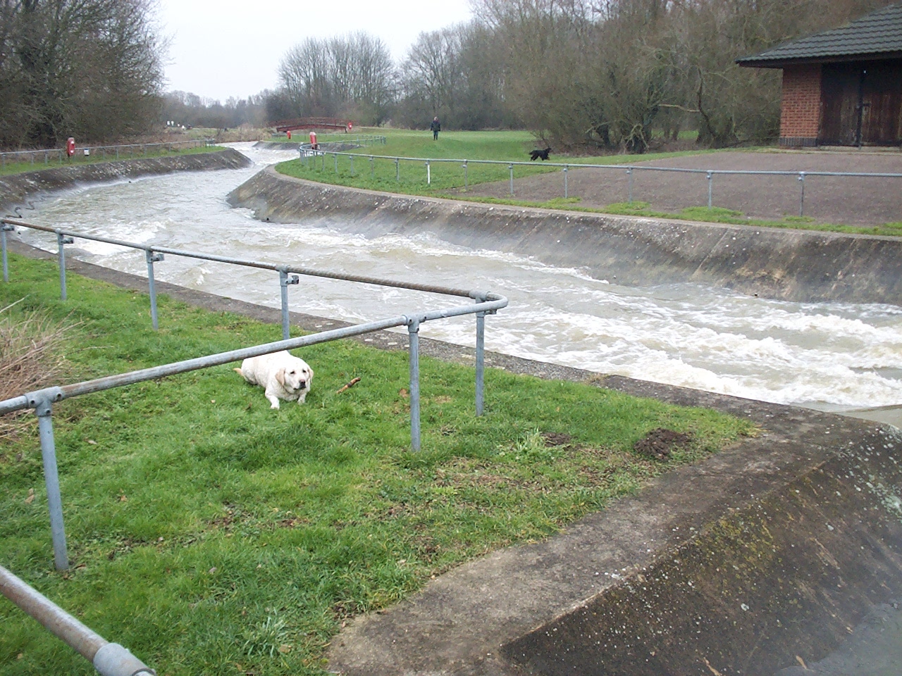
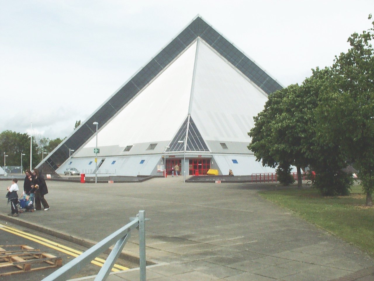
Cardington Artificial Slalom Course
Cardington Artificial Slalom Course (CASC) was the first artificial whitewater canoe slalom course in the UK when it was completed in July 1982, having...

Bedford Academy
Bedford Academy (formerly John Bunyan Upper School) is a mixed secondary school and sixth form located in the Kingsbrook area of Bedford, Bedfordshire...
Heart Bedford
Heart Bedford (formerly Chiltern Radio 96.9) was an Independent Local Radio station based in the Priory Business Park in Bedford, Bedfordshire in England...
Cardington railway station
Cardington was a railway station on the Bedford to Hitchin Line which served the village of Cardington in Bedfordshire, England. Opened in 1857, it gave...
Fenlake Meadows
Fenlake Meadows is a 19.2 hectare Local Nature Reserve located in the Kingsbrook area of Bedford. It is owned and managed by Bedford Borough Council.This...
Nearby Amenities
Located within 500m of 52.117492,-0.43506Have you been to Eastcotts?
Leave your review of Eastcotts below (or comments, questions and feedback).