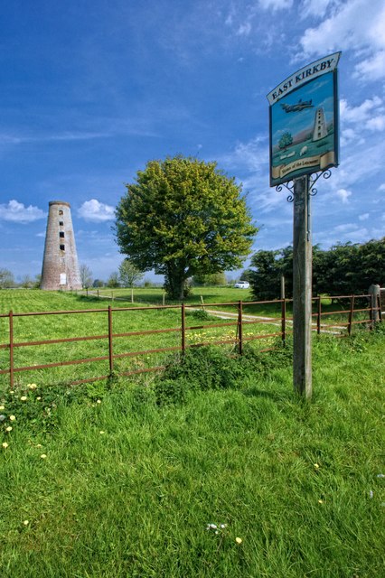
East Kirkby
Civil Parish in Lincolnshire East Lindsey
England
East Kirkby

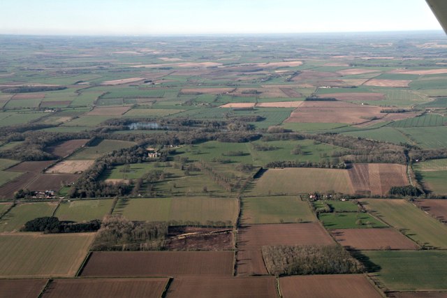
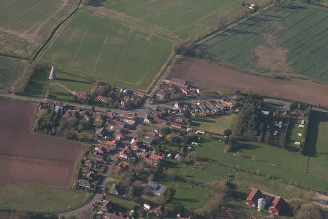
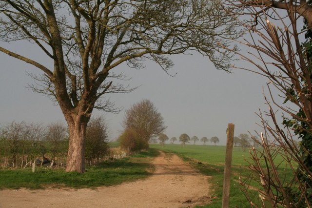
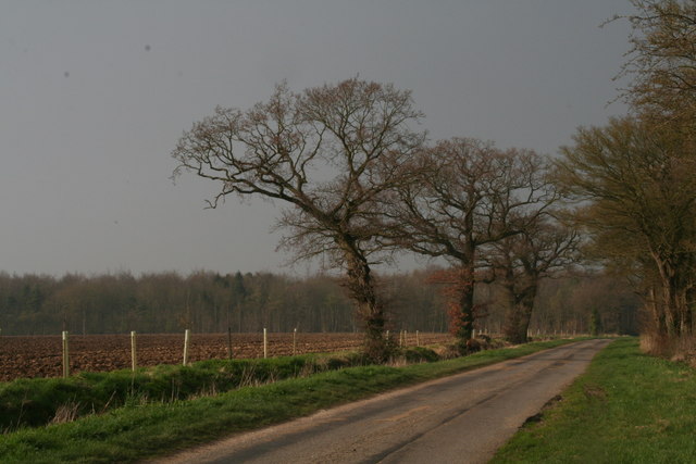
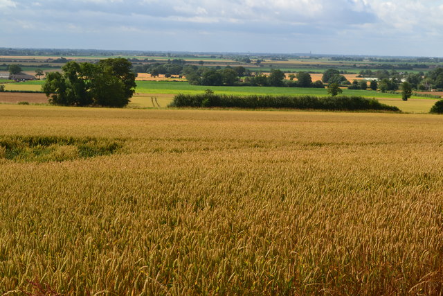
East Kirkby is a civil parish located in the East Lindsey district of Lincolnshire, England. Situated approximately 8 miles east of the town of Horncastle, it covers an area of around 771 hectares. The village is nestled in the picturesque Lincolnshire Wolds, an Area of Outstanding Natural Beauty.
East Kirkby is primarily an agricultural village, with a charming rural character. The landscape is dominated by rolling hills, open fields, and small wooded areas. The parish is home to a small population, with around 200 residents according to the latest census.
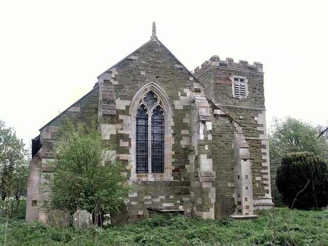
One of the notable landmarks in East Kirkby is the Church of St. Nicholas, a Grade II listed building dating back to the 12th century. This historic church features a Norman tower and elements of Early English architecture. It serves as a place of worship for the local community.
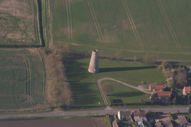
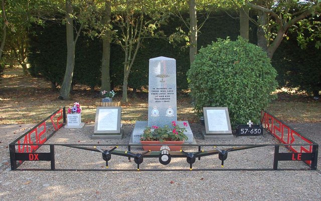
Another prominent feature of the area is the East Kirkby Airfield. During World War II, this airfield was a base for the Royal Air Force's Bomber Command. Today, the airfield is home to the Lincolnshire Aviation Heritage Centre, a popular attraction for aviation enthusiasts. Visitors can explore the museum's collection of wartime aircraft and artifacts, as well as experience taxi rides in a Lancaster bomber.
Overall, East Kirkby offers a tranquil and picturesque setting, with its rural charm, historic church, and ties to aviation history. It is a place where visitors can immerse themselves in the natural beauty and rich heritage of the Lincolnshire countryside.
If you have any feedback on the listing, please let us know in the comments section below.
East Kirkby Images
Images are sourced within 2km of 53.13686/-0.008302 or Grid Reference TF3361. Thanks to Geograph Open Source API. All images are credited.


East Kirkby is located at Grid Ref: TF3361 (Lat: 53.13686, Lng: -0.008302)
Administrative County: Lincolnshire
District: East Lindsey
Police Authority: Lincolnshire
What 3 Words
///shifting.fenced.dolly. Near Stickney, Lincolnshire
Nearby Locations
Related Wikis
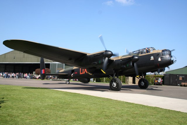
Lincolnshire Aviation Heritage Centre
The Lincolnshire Aviation Heritage Centre is an aviation museum in East Kirkby, Lincolnshire, England. It was opened to the public in 1988 by Lincolnshire...
RAF East Kirkby
Royal Air Force East Kirkby or more simply RAF East Kirkby is a former Royal Air Force station near the village of East Kirkby, south of Horncastle in...
East Kirkby
East Kirkby is a village and civil parish in the East Lindsey district of Lincolnshire, England. It is situated 7 miles (11 km) south-east from Horncastle...

Hagnaby
Hagnaby is a small village and former civil parish, now in the parish of East Kirkby, in the East Lindsey district of Lincolnshire, England. It is 4 miles...
Nearby Amenities
Located within 500m of 53.13686,-0.008302Have you been to East Kirkby?
Leave your review of East Kirkby below (or comments, questions and feedback).