East Claydon
Civil Parish in Buckinghamshire
England
East Claydon

The requested URL returned error: 429 Too Many Requests
If you have any feedback on the listing, please let us know in the comments section below.
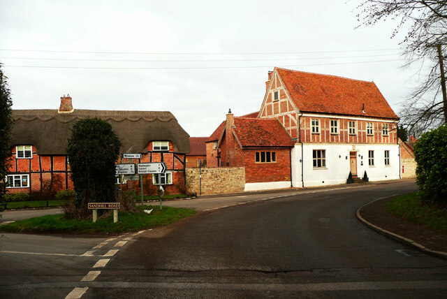
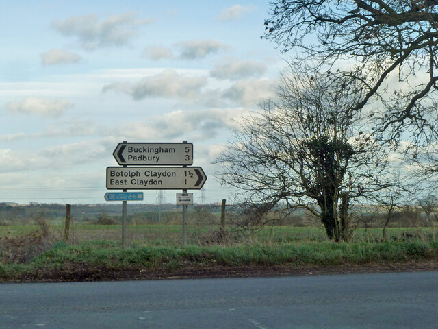
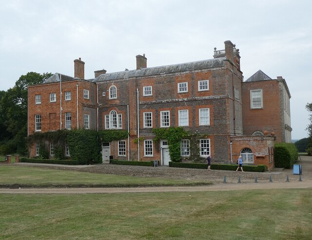
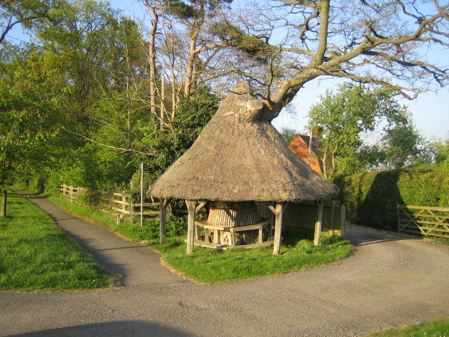
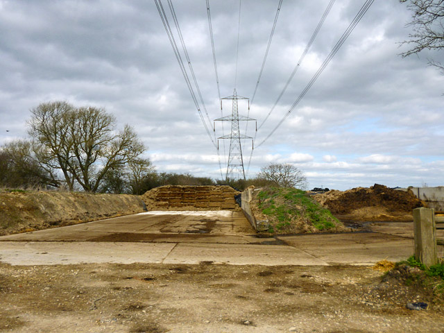
East Claydon Images
Images are sourced within 2km of 51.919544/-0.929144 or Grid Reference SP7325. Thanks to Geograph Open Source API. All images are credited.


East Claydon is located at Grid Ref: SP7325 (Lat: 51.919544, Lng: -0.929144)
Unitary Authority: Buckinghamshire
Police Authority: Thames Valley
What 3 Words
///enchanted.binders.eclipses. Near Winslow, Buckinghamshire
Nearby Locations
Related Wikis
East Claydon
East Claydon is a village and is also a civil parish in the unitary authority of Buckinghamshire, England. It is about 2+1⁄2 miles (4 km) south-west of...

Botolph Claydon
Botolph Claydon is a hamlet in the civil parish of East Claydon, in Buckinghamshire, England. It is situated about 9 miles (14 km) east of Bicester in...
Granborough Road railway station
Granborough Road railway station (initially Grandborough Road) was a station serving the village of Granborough, to the north of Quainton in Buckinghamshire...

Winslow Road railway station
Winslow Road railway station served the village of East Claydon near Winslow to the north of Quainton in Buckinghamshire, England. It was the second station...
Nearby Amenities
Located within 500m of 51.919544,-0.929144Have you been to East Claydon?
Leave your review of East Claydon below (or comments, questions and feedback).