East Chevington
Civil Parish in Northumberland
England
East Chevington
East Chevington is a civil parish located in the county of Northumberland, in the northeast region of England. It is situated about 20 miles north of the historic market town of Morpeth and covers an area of approximately 8 square kilometers. The parish is bordered by the villages of Lynemouth to the east and Widdrington Station to the west.
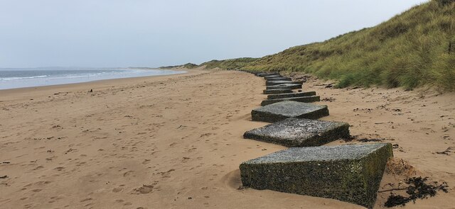
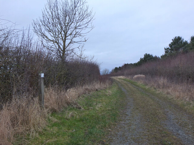
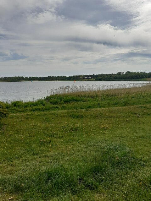
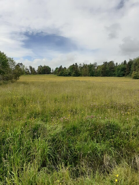
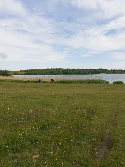
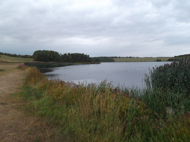
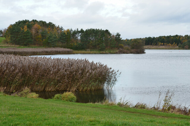
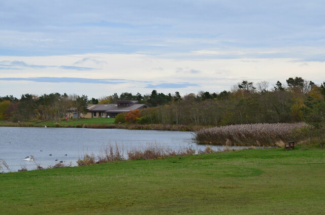
The landscape of East Chevington is predominantly rural, characterized by open fields, farmlands, and rolling hills. It is known for its picturesque countryside, with stunning views of the Northumberland coastline and the North Sea. The area is also home to a variety of wildlife, including red squirrels, deer, and a myriad of bird species.
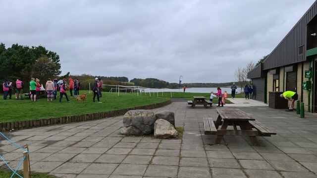
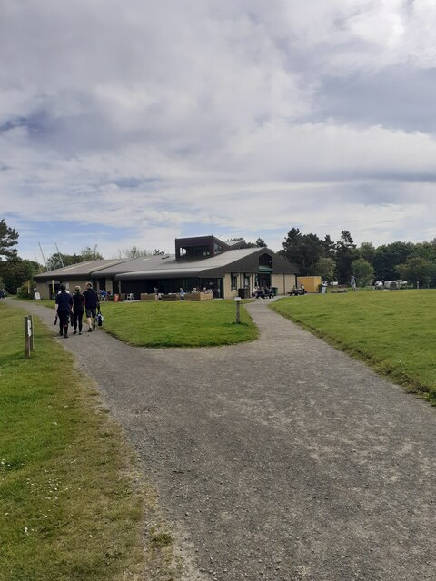
The main settlement in East Chevington is the village of Hadston, which serves as a residential hub for the local community. The village offers a range of amenities, including a primary school, a community center, a post office, and several shops and pubs. The neighboring village of Red Row is also part of the civil parish.
East Chevington has a rich industrial history, with coal mining being a significant industry in the area until the closure of the local colliery in the 1960s. Today, the parish has diversified its economy, with agriculture, tourism, and small-scale businesses playing an important role in the local economy.
Overall, East Chevington is a tranquil and scenic civil parish that offers a peaceful rural lifestyle, while also providing easy access to nearby towns and amenities.
If you have any feedback on the listing, please let us know in the comments section below.
East Chevington Images
Images are sourced within 2km of 55.290834/-1.599118 or Grid Reference NZ2599. Thanks to Geograph Open Source API. All images are credited.


East Chevington is located at Grid Ref: NZ2599 (Lat: 55.290834, Lng: -1.599118)
Unitary Authority: Northumberland
Police Authority: Northumbria
What 3 Words
///stun.activity.organs. Near Hadston, Northumberland
Nearby Locations
Related Wikis

Hadston
Hadston is a village and former civil parish, now in the parish of East Chevington, in Northumberland, England, about 2.5 miles (4 km) south of Amble....

East Chevington
East Chevington is a parish in Northumberland, England, and was a village until it disappeared in the 1900s.In 2001, the parish had a population of 3,192...

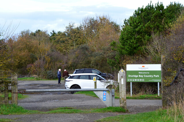
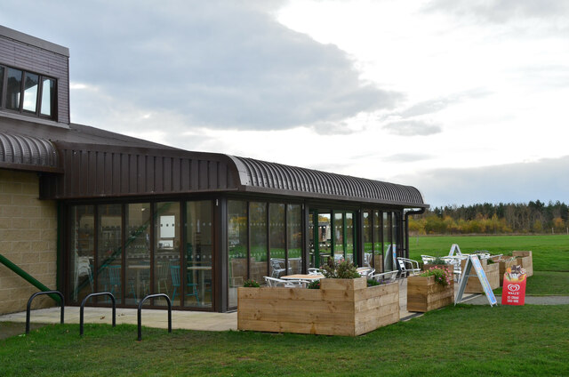
Druridge Bay Country Park
Druridge Bay Country Park is adjacent to Druridge Bay between Amble and Cresswell, on the coastline of Northumberland, England. The country park was opened...

Broomhill (Northumberland) railway station
Broomhill railway station served the village of Broomhill in Northumberland, England, a former pit village. The station was on a short branch line of about...

Broomhill, Northumberland
Broomhill is a village in Northumberland, England. It lies to the south-west of Amble, a short distance inland from the North Sea. Broomhill is split into...

Togston
Togston is a settlement and civil parish about 10 miles from Morpeth, in the county of Northumberland, England. The parish includes the hamlet of North...
HM Prison Castington
HM Prison Castington was a male juvenile's prison and Young Offenders Institution, located in the village of Acklington in Northumberland, England. The...

RAF Acklington
Royal Air Force Acklington, simply known as RAF Acklington, is a former Royal Flying Corps and Royal Air Force station located 3.2 miles (5.1 km) south...
Related Videos


Adventures & me going arse over tit(2)
Fishing trip walking back from druridge bay through country park just us having a mooch yem and me falling arse over tit bloody ...
Druridge Bay Country Park. Zwiastun
Zapowiedź do filmu.
Nearby Amenities
Located within 500m of 55.290834,-1.599118Have you been to East Chevington?
Leave your review of East Chevington below (or comments, questions and feedback).