East Bergholt
Civil Parish in Suffolk Babergh
England
East Bergholt

The requested URL returned error: 429 Too Many Requests
If you have any feedback on the listing, please let us know in the comments section below.
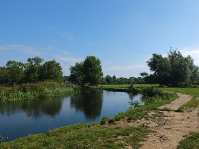
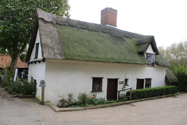
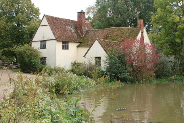
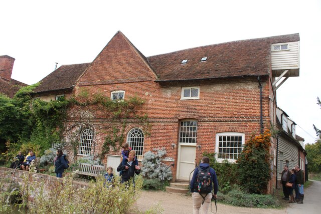
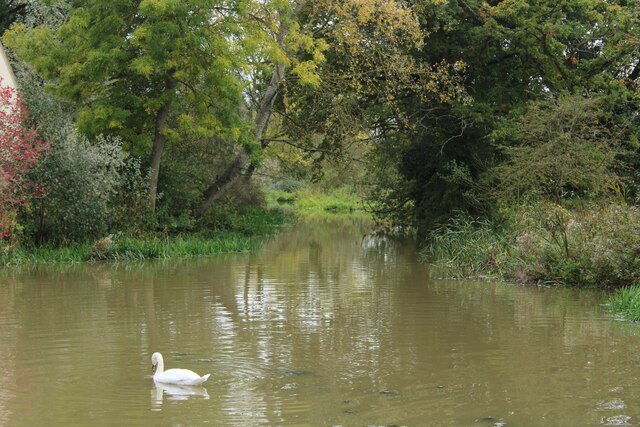
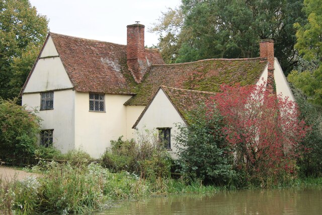
East Bergholt Images
Images are sourced within 2km of 51.973335/1.027699 or Grid Reference TM0834. Thanks to Geograph Open Source API. All images are credited.


East Bergholt is located at Grid Ref: TM0834 (Lat: 51.973335, Lng: 1.027699)
Administrative County: Suffolk
District: Babergh
Police Authority: Suffolk
What 3 Words
///infringe.catch.fever. Near East Bergholt, Suffolk
Nearby Locations
Related Wikis

East Bergholt High School
East Bergholt High School is a secondary school in East Bergholt, Suffolk, 11 miles (18 km) north of Colchester, Essex, and nine miles (14 km) south of...

East Bergholt
East Bergholt is a village in the Babergh District of Suffolk, England, just north of the Essex border. The nearest town and railway station is Manningtree...

East Bergholt Abbey
East Bergholt Abbey was an abbey in Suffolk, England. It was built on land purchased in 1857 on the site of Old Hall manor. == History == === Old Hall... ===

Bridge Cottage
Bridge Cottage is a 16th-century thatched cottage in Flatford, East Bergholt, Suffolk, England. It has been a National Trust property since 1943 and a...
Related Videos
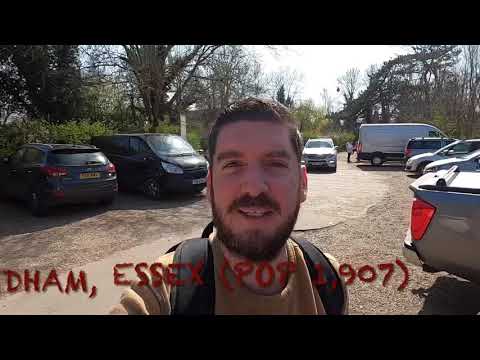
Dedham Vale - Amazing Flatland Walk in Essex
We walked across Dedham Vale in Essex, to where the famous landscape gardener, John Constable created some of his most ...
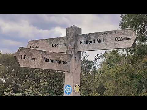
Flatford Mill, Suffolk, UK. Constable Country. Walking from Manningtree train station.
Flatford Mill (Suffolk) on the river Stour, near Manningtree, Essex. A place where Constable lived and was inspired to create a ...
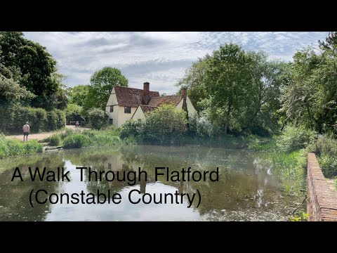
A Walk Through Flatford (Constable Country) & RSPB Wildlife Garden
A gentle walk through the National Trust property at Flatford, Near East Berholt and Dedham in Essex. Otherwise known as ...
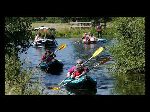
Constable Country - Dedham and Flatford Mill, Britain, in 4K by Rodger Tamblyn. People boating
The video is deliberately long, (no quick cut scenes) for a slow relaxed watching experience and to get a feel for the area without ...
Nearby Amenities
Located within 500m of 51.973335,1.027699Have you been to East Bergholt?
Leave your review of East Bergholt below (or comments, questions and feedback).