Eagle and Swinethorpe
Civil Parish in Lincolnshire North Kesteven
England
Eagle and Swinethorpe

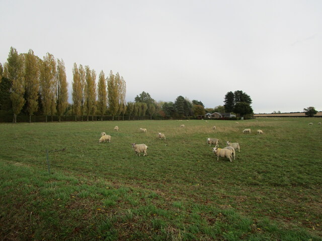
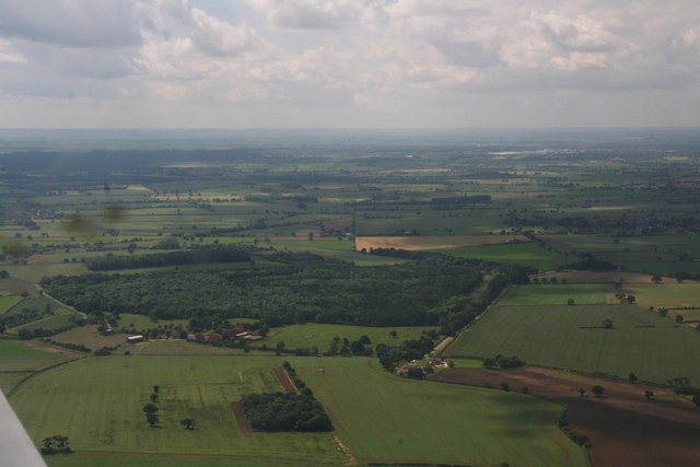
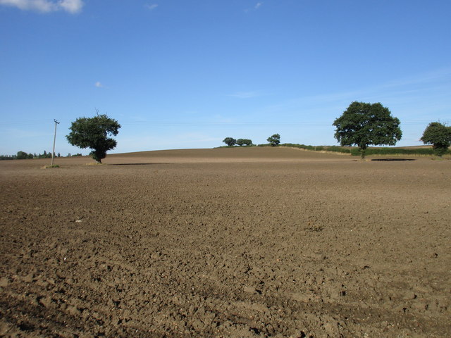
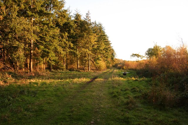
Eagle and Swinethorpe is a civil parish located in the county of Lincolnshire, England. It is situated approximately 12 miles south of the city of Lincoln. The parish consists of two small villages, Eagle and Swinethorpe, which are separated by a distance of about 2 miles.
Eagle is the larger of the two villages and has a population of around 900 residents. It is known for its picturesque countryside and charming rural character. The village features a mix of traditional stone cottages and modern houses. It has a village hall, a primary school, and a local pub, providing essential amenities to its residents.
Swinethorpe, on the other hand, is a smaller village with a population of around 150 people. It is known for its tranquil atmosphere and scenic views. The village primarily consists of residential properties, with a few small businesses and farms scattered throughout the area.
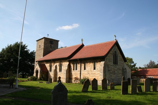
Both villages boast a strong sense of community and are known for their friendly and welcoming atmosphere. The surrounding countryside offers ample opportunities for outdoor activities such as walking, cycling, and horse riding. The parish is also home to several historical landmarks, including the Grade II listed St. Andrew's Church in Eagle.
Overall, Eagle and Swinethorpe is a peaceful and idyllic civil parish that offers a rural lifestyle while still being within easy reach of larger towns and cities.
If you have any feedback on the listing, please let us know in the comments section below.
Eagle and Swinethorpe Images
Images are sourced within 2km of 53.192754/-0.691736 or Grid Reference SK8766. Thanks to Geograph Open Source API. All images are credited.


Eagle and Swinethorpe is located at Grid Ref: SK8766 (Lat: 53.192754, Lng: -0.691736)
Administrative County: Lincolnshire
District: North Kesteven
Police Authority: Lincolnshire
What 3 Words
///shrimps.footsteps.reissued. Near North Collingham, Nottinghamshire
Nearby Locations
Related Wikis
Eagle, Lincolnshire
Eagle is a village in the North Kesteven district of Lincolnshire, England. It is situated 7 miles (11 km) south-west from Lincoln and 2 miles (3.2 km...

Eagle Barnsdale
Eagle Barnsdale is a village in the North Kesteven district of Lincolnshire, England. The population can be found included in the civil parish of Eagle...
Tunman Wood
Tunman Wood is a local nature reserve with an area of over 53 ha (130 acres) located near Eagle Barnsdale, Lincolnshire. It is an area of ancient woodland...

North Scarle
North Scarle is a village and civil parish in the North Kesteven district of Lincolnshire, England. The population of the civil parish at the 2011 census...

Swinderby railway station
Swinderby railway station serves the villages of Swinderby, North Scarle, Eagle and Morton Hall in Lincolnshire, England. The station is 8.75 miles (14...

Morton Hall
Morton Hall is a small village in the civil parish of Swinderby , in the North Kesteven district of Lincolnshire, England. It is situated 8 miles (13 km...

Thorpe-on-the-Hill railway station
Thorpe on the Hill railway station was a station serving the village of Thorpe-on-the-Hill, Lincolnshire, England. == Opening == It was opened as Thorpe...
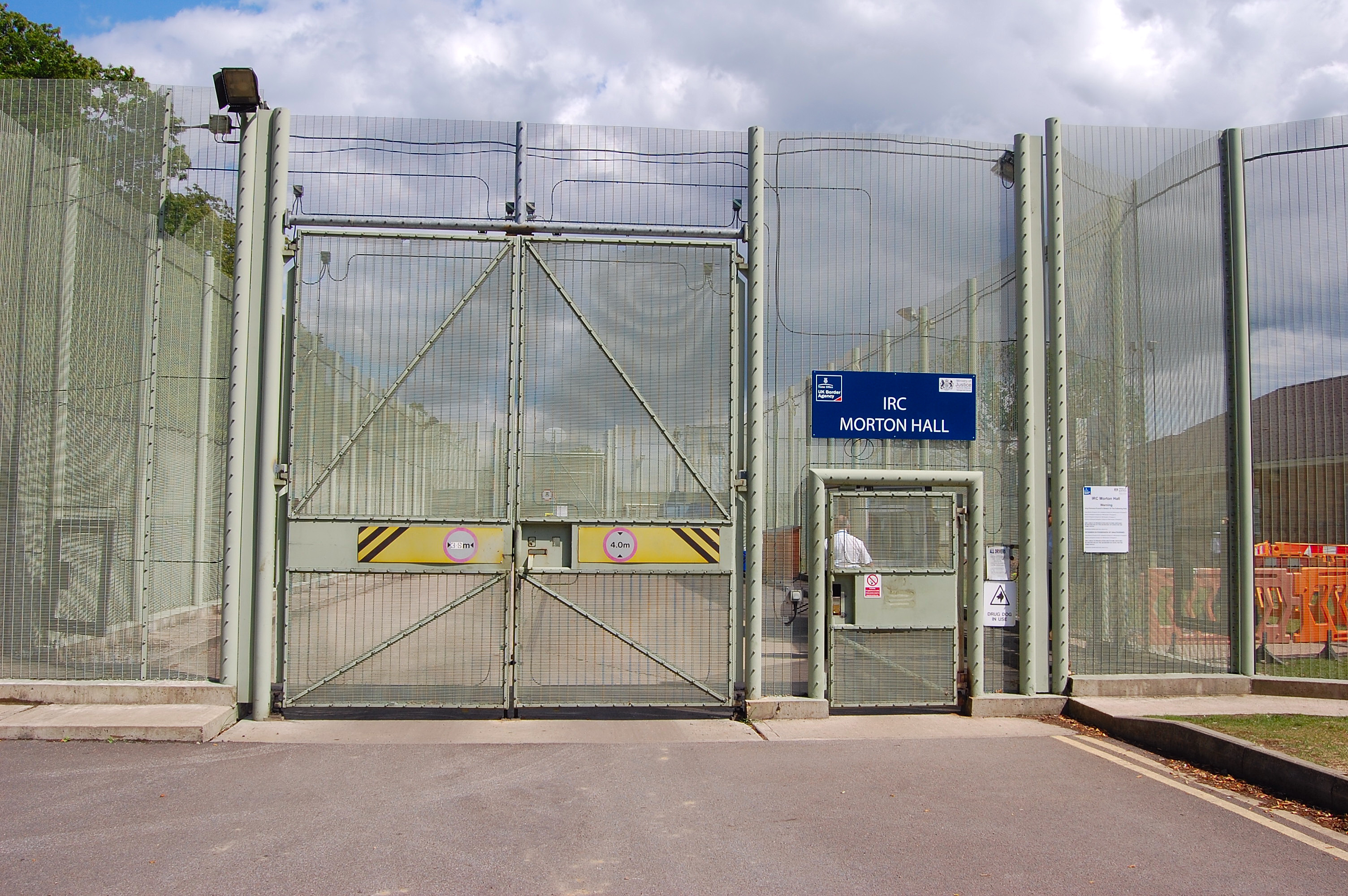
HM Prison Morton Hall
HM Prison Morton Hall is a Category C men's prison, located in the village of Morton Hall (near Lincoln) in Lincolnshire, England. The centre is operated...
Nearby Amenities
Located within 500m of 53.192754,-0.691736Have you been to Eagle and Swinethorpe?
Leave your review of Eagle and Swinethorpe below (or comments, questions and feedback).