Broad's Green

Settlement in Essex Chelmsford

England

Broad's Green

Hatchfields, Great Waltham
Hatchfields, Great Waltham Credit: David Howard

Broad's Green is a small village located in the county of Essex, England. Situated approximately 3 miles northeast of the town of Braintree, it falls within the Braintree District Council area. With a population of just over 600 residents, Broad's Green offers a peaceful and close-knit community atmosphere.

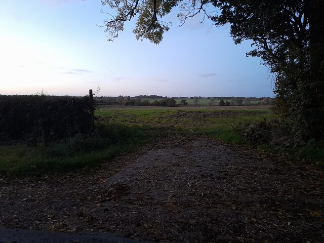
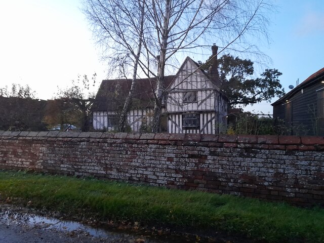
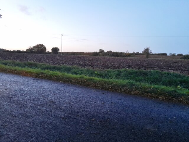
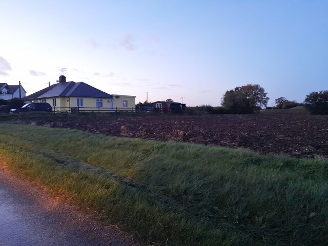
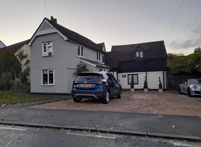
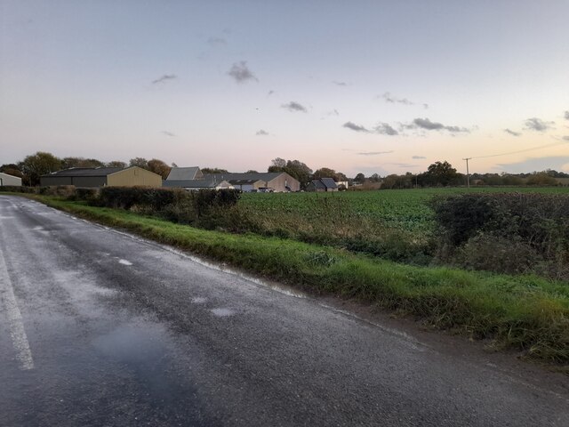
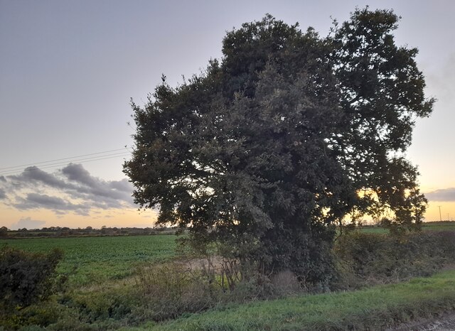
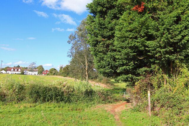
The village is surrounded by picturesque countryside, characterized by rolling fields and farmland, making it an ideal location for those seeking a tranquil rural retreat. The landscape is dotted with charming old cottages and traditional farmhouses, adding to the village's quaint and timeless appeal.

Despite its small size, Broad's Green boasts several amenities to cater to its residents. The village is home to a primary school, providing education for children within the local area. Additionally, there is a village hall that serves as a hub for community events and gatherings. Nearby, the town of Braintree offers a wider range of amenities, including shops, supermarkets, and recreational facilities.

For outdoor enthusiasts, Broad's Green offers access to various walking and cycling routes, allowing residents to explore the stunning surrounding countryside. The village is also within close proximity to the Flitch Way, a former railway line converted into a nature reserve, providing further opportunities for outdoor pursuits.

Overall, Broad's Green offers a peaceful and idyllic setting, perfect for those looking for a rural lifestyle while still being within reach of nearby towns and amenities. Its close-knit community and stunning countryside make it a desirable place to live for those seeking a slower pace of life.

If you have any feedback on the listing, please let us know in the comments section below.

Broad's Green Images

Images are sourced within 2km of 51.78566/0.453869 or Grid Reference TL6912. Thanks to Geograph Open Source API. All images are credited.

Hatchfields, Great Waltham
Walthambury Farm, Great Waltham
Barrack Lane at the junction of Bury Lane
Fields by Mashbury Road, Great Waltham
Tudor farmhouse on Mashbury Road, Great Waltham This is Barnett's Farm
Tudor farmhouse on Mashbury Road, Great Waltham
This is Barnett's Farm
Fields by Mashbury Road near Pleshey
Houses and field by Mashbury Road near Pleshey
House on Main Road, Great Waltham It was white before this.
House on Main Road, Great Waltham
It was white before this.
Main Road, Great Waltham
Pleshey Road looking towards Walthambury Farm
Tree on Pleshey Road, Great Waltham
Great Waltham View towards Great Waltham from near Salt House Farm.
Great Waltham
View towards Great Waltham from near Salt House Farm.
Great Waltham Post Office Walthambury Stores in Great Waltham.
Great Waltham Post Office
Walthambury Stores in Great Waltham.
Large house on Chelmsford Road, Minnow End Minnow End is the hamlet between Great Waltham and Little Waltham
Large house on Chelmsford Road, Minnow End
Minnow End is the hamlet between Great Waltham and Little Waltham
Blasford Hill, Little Waltham
Chatham Hall Lane at the junction of Blasford Hill
Field by Chatham Hall Lane, Little Waltham
Show me another place!

Broad's Green is located at Grid Ref: TL6912 (Lat: 51.78566, Lng: 0.453869)

Administrative County: Essex

District: Chelmsford

Police Authority: Essex

What 3 Words

///backed.corals.impeached. Near Chelmsford, Essex

Related Wikis

Broad's Green

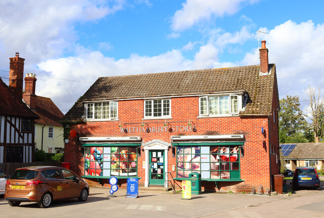
Broads Green is a hamlet in the civil parish of Great Waltham and the Chelmsford district, of Essex, England. Nearby settlements include the town of Chelmsford...

Breeds, Essex

Breeds is a hamlet in the Great Waltham civil parish of the Chelmsford district of Essex, England. It is situated on South Street of the village of Great...
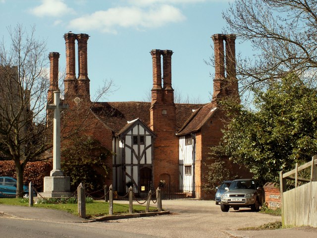
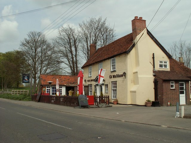
Great Waltham

Great Waltham, also known as Church End, is a village and civil parish in the Chelmsford district, in the county of Essex, England. == Description == The...

Minnow End

Minnow End is a hamlet in the parish of Great Waltham in Chelmsford district, in the English county of Essex. Nearby settlements include the town of Chelmsford...

Fanner's Green

Fanner's Green is a hamlet and cul-de-sac road in the Great Waltham civil parish of the Chelmsford district of Essex, England. It is situated 1 mile (1...

Broomfield Hospital

Broomfield Hospital is an acute district general hospital in Chelmsford, Essex. It is managed by the Mid and South Essex NHS Foundation Trust. == History... ==

Chelmer Valley High School

Chelmer Valley High School (CVHS) is an academy based on a large site on the outskirts of Chelmsford, Essex, England. It has specialisms in engineering...

Little Waltham Meadows

Little Waltham Meadows is an 8.9-hectare (22-acre) nature reserve south of Little Waltham in Essex. It is owned and managed by the Essex Wildlife Trust...

Nearby Amenities

Located within 500m of 51.78566,0.453869
Broad's Green
Place: hamlet
Source: npe
Wikidata: Q4539197
Lat/Long: 51.7852837/0.4530624
Kerb: no
Lat/Long: 51.7839626/0.4481971
Kerb: no
Lat/Long: 51.7876144/0.4525363
Material: wood
Power: pole
Lat/Long: 51.7859348/0.4505317
Barrier: block
Bicycle: designated
Foot: designated
Horse: designated
Motor Vehicle: no
Lat/Long: 51.7843406/0.4526765
Material: wood
Power: pole
Lat/Long: 51.7868719/0.4603879
Material: wood
Power: pole
Lat/Long: 51.7868769/0.4584246
Material: wood
Power: pole
Lat/Long: 51.7867468/0.4571848
Material: wood
Power: pole
Lat/Long: 51.7865477/0.4557783
Material: wood
Power: pole
Lat/Long: 51.7863513/0.4546495
Material: wood
Power: pole
Lat/Long: 51.7861713/0.4533356
Material: wood
Power: pole
Lat/Long: 51.7859995/0.4518055
Material: wood
Power: pole
Lat/Long: 51.7866541/0.4487235
Post Box
Collection Times: Mo-Fr 09:00; Sa 07:00
Ref: CM3 61D
Royal Cypher: EIIR
Royal Cypher Wikidata: Q33102113
Lat/Long: 51.7849686/0.4531088
Material: wood
Power: pole
Lat/Long: 51.7858826/0.4494792
Waste Basket
Check Date: 2024-02-28
Colour: red
Waste: dog_excrement
Lat/Long: 51.7876427/0.4524624
Check Date: 2024-02-28
Covered: no
Leisure: picnic_table
Material: wood
Lat/Long: 51.785223/0.4535263
Check Date: 2024-02-28
Covered: no
Leisure: picnic_table
Material: wood
Lat/Long: 51.7851905/0.4535386
Check Date: 2024-02-28
Covered: no
Leisure: picnic_table
Material: wood
Lat/Long: 51.7851616/0.4535747
Entrance: yes
Lat/Long: 51.7851721/0.4535978
Entrance: yes
Lat/Long: 51.785248/0.4536253
Toilets
Changing Table: no
Check Date Wheelchair: 2024-02-28
Fee: no
Male: yes
Wheelchair: no
Lat/Long: 51.7852883/0.4536918
Covered: no
Leisure: picnic_table
Material: wood
Lat/Long: 51.7850868/0.453837
Covered: no
Leisure: picnic_table
Material: wood
Lat/Long: 51.7851166/0.4539264
Covered: no
Leisure: picnic_table
Material: wood
Lat/Long: 51.7851336/0.4540065
Fire Hydrant
Emergency: fire_hydrant
Lat/Long: 51.7899735/0.4519055
Booth: K6
Covered: booth
Disused Amenity: telephone
Man Made: telephone_box
Lat/Long: 51.7853169/0.4535667
The data included in this document is from www.openstreetmap.org. The data is made available under ODbL.

Have you been to Broad's Green?

Leave your review of Broad's Green below (or comments, questions and feedback).