Dunstable
Civil Parish in Bedfordshire
England
Dunstable

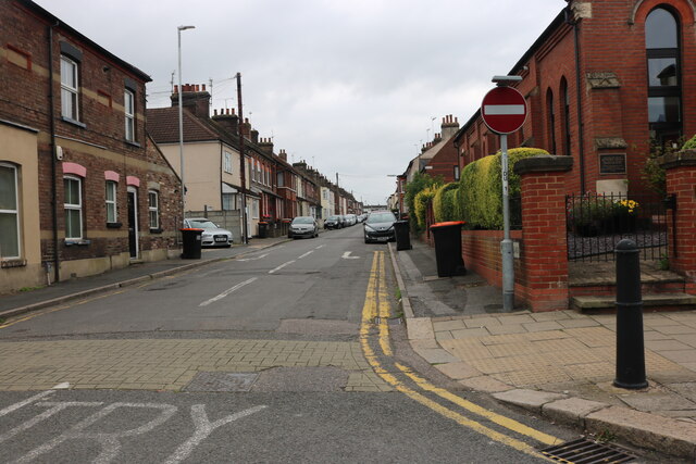
Dunstable is a civil parish located in the county of Bedfordshire, England. Situated around 30 miles north of London, Dunstable is a historic market town with a rich heritage dating back centuries. It has a population of approximately 36,000 residents.
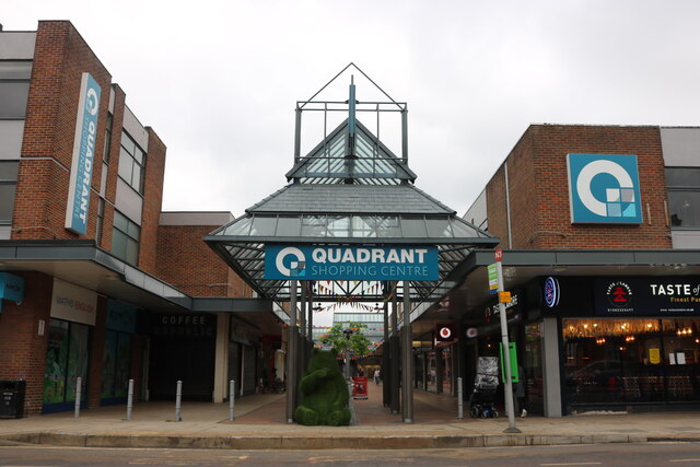
The town is known for its strategic location, placed at the crossroads of the ancient Icknield Way and the Roman road Watling Street. This made Dunstable an important center for trade and commerce in the past. Today, it still retains its market town character, with a regular market held in the town center.
Dunstable boasts several notable landmarks and attractions. The Priory Church of St. Peter stands as a prominent feature in the town, dating back to the 12th century. It is a Grade I listed building and is known for its impressive architecture and stained glass windows. Another notable site is the Dunstable Downs, a chalk escarpment and an Area of Outstanding Natural Beauty. It offers stunning views of the surrounding countryside and is a popular spot for outdoor activities such as walking, kite flying, and paragliding.
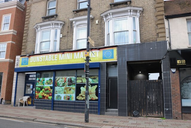
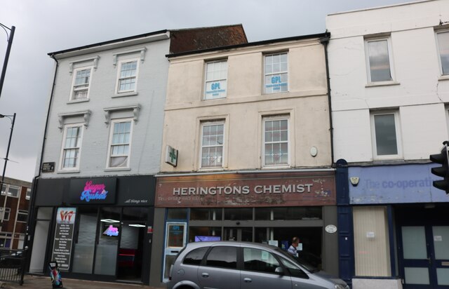
The town has a range of amenities and facilities, including a variety of shops, restaurants, and leisure centers. It also has several schools, making it an attractive place for families.
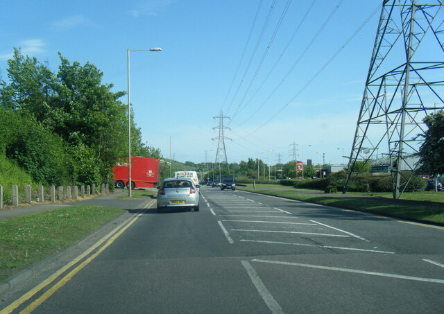
Dunstable has good transport links, with easy access to major roads and motorways, including the M1, A5, and A505. Additionally, it has a railway station that provides frequent services to London and other nearby towns.
Overall, Dunstable offers a mix of historical charm, natural beauty, and modern amenities, making it a vibrant place to live and visit.
If you have any feedback on the listing, please let us know in the comments section below.
Dunstable Images
Images are sourced within 2km of 51.885426/-0.519085 or Grid Reference TL0221. Thanks to Geograph Open Source API. All images are credited.


![Red Kite in flight Red Kites [Milvus milvus] have become very common in various parts of the UK since reintroduction programmes began in 1990. They frequently visit a garden in Dunstable to feed. The Chiltern Hills is where the first introductions took place.](https://s1.geograph.org.uk/geophotos/07/23/01/7230165_f9635f85.jpg)
![Red Kite in flight Red Kites [Milvus milvus] have become very common in various parts of the UK since reintroduction programmes began in 1990. They frequently visit a garden in Dunstable to feed. The Chiltern Hills is where the first introductions took place.](https://s0.geograph.org.uk/geophotos/07/23/06/7230636_e09618b8.jpg)

Dunstable is located at Grid Ref: TL0221 (Lat: 51.885426, Lng: -0.519085)
Unitary Authority: Central Bedfordshire
Police Authority: Bedfordshire
What 3 Words
///estate.shin.mugs. Near Dunstable, Bedfordshire
Nearby Locations
Related Wikis
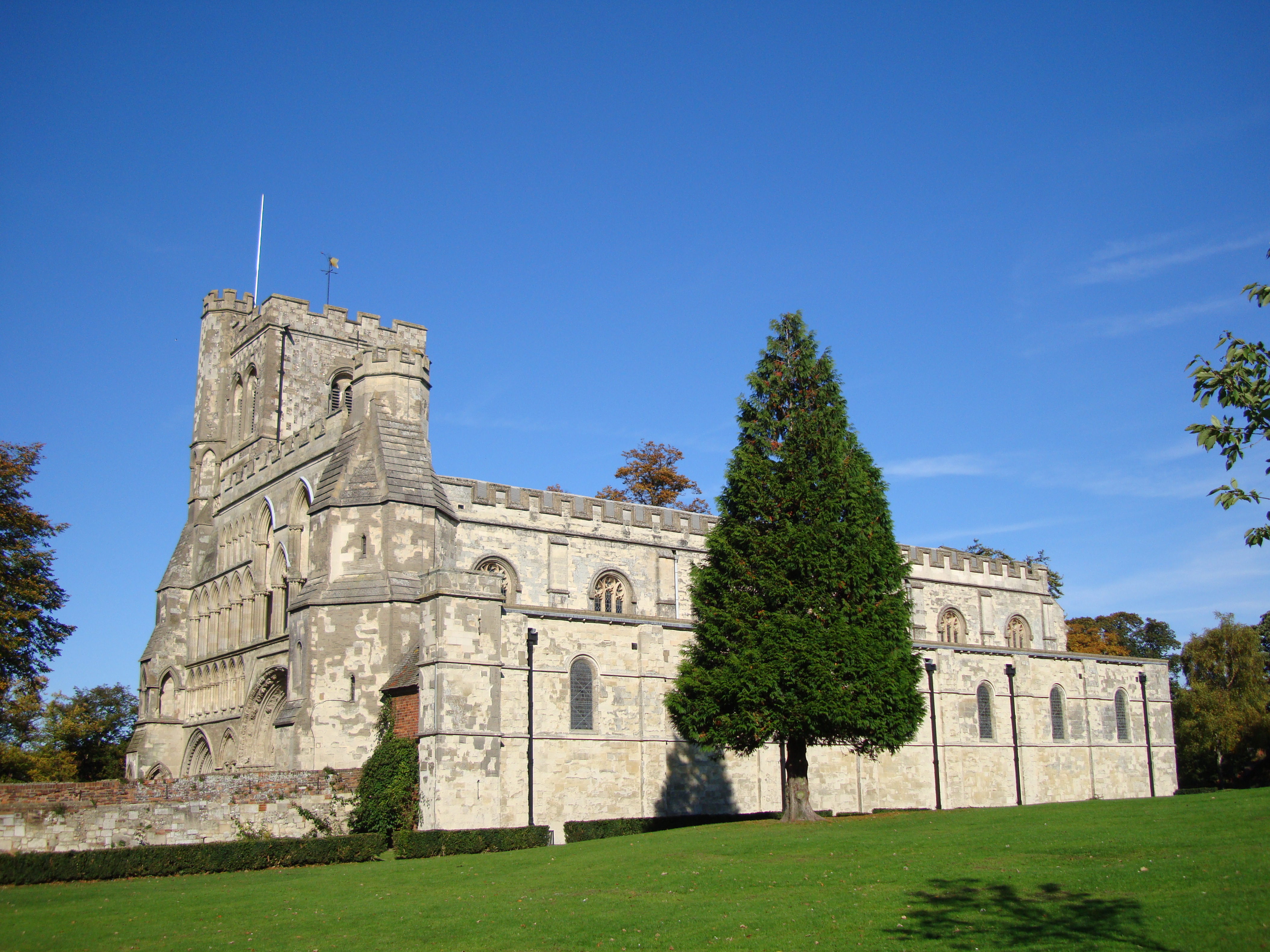
Dunstable Priory
The Priory Church of St Peter with its monastery (Dunstable Priory) was founded in 1132 by Henry I for Augustinian Canons in Dunstable, Bedfordshire, England...

Dunstable
Dunstable ( DUN-stə-bəl) is a market town and civil parish in Bedfordshire, England, east of the Chiltern Hills, 30 miles (50 kilometres) north of London...

Dunstable Friary
Dunstable Friary was a Dominican friary in Dunstable, Bedfordshire, England. It was located to the west of Watling Street, between the present-day High...
Municipal Borough of Dunstable
The town of Dunstable in Bedfordshire, England was governed as an ancient borough between the twelfth century and the sixteenth century. The town’s borough...
Nearby Amenities
Located within 500m of 51.885426,-0.519085Have you been to Dunstable?
Leave your review of Dunstable below (or comments, questions and feedback).