Broadplat

Settlement in Oxfordshire South Oxfordshire

England

Broadplat

Pasture, Greys The edge of a field to the north of Shepherd's Green.
Pasture, Greys Credit: Andrew Smith

Broadplat is a picturesque village located in the county of Oxfordshire, England. Situated on the banks of the River Thames, it is part of the larger parish of Long Wittenham. With a population of around 500, Broadplat offers a tranquil and idyllic setting for its residents.

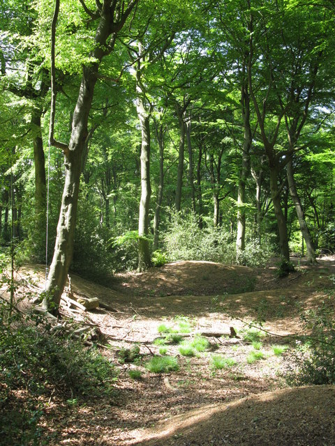
The village is renowned for its stunning natural beauty, characterized by rolling green hills, charming cottages, and the meandering river. The surrounding countryside provides ample opportunities for outdoor activities such as walking, cycling, and boating, attracting nature enthusiasts and visitors alike.

Broadplat is steeped in history, with evidence of human habitation dating back to the Iron Age. The village's name is derived from the Old English words "brad" meaning broad and "plat" meaning plot of land, reflecting its spacious and open landscape.

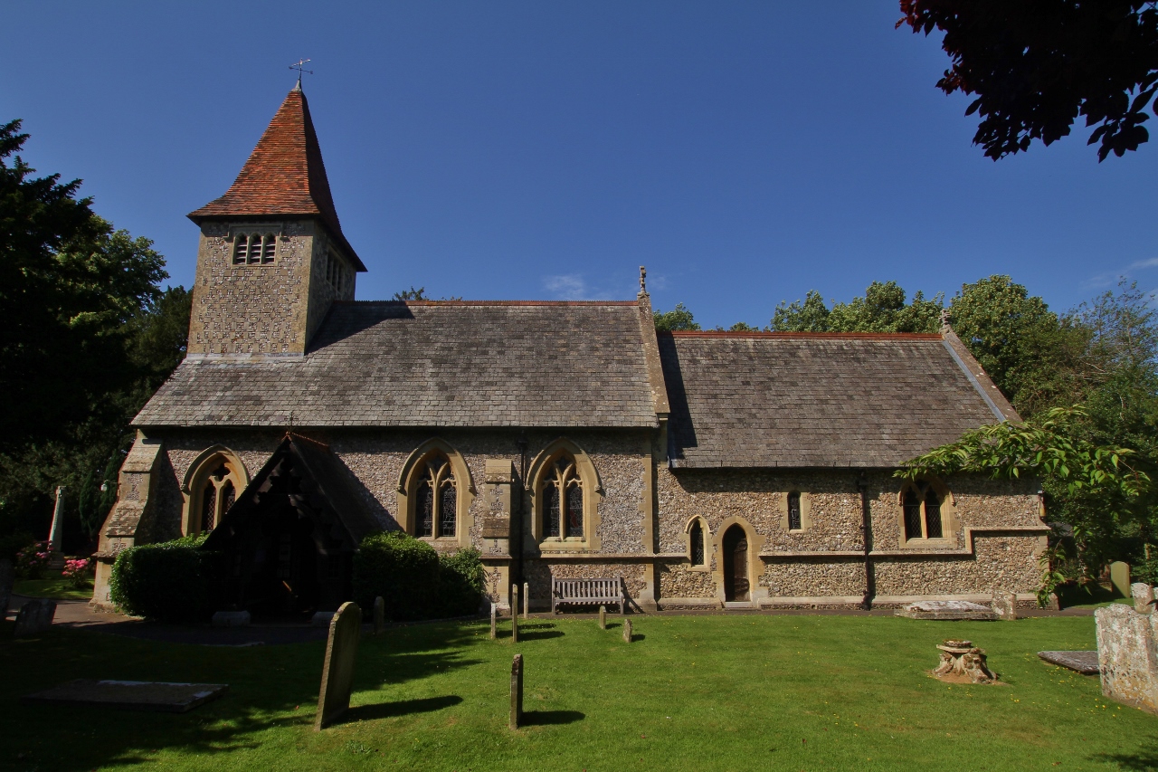
Despite its small size, Broadplat boasts a strong sense of community, with a local pub serving as a popular meeting place for residents to socialize and relax. The village also has a primary school, providing education for the local children.

Surrounded by the larger towns of Abingdon and Didcot, Broadplat benefits from its proximity to amenities and transport links. The nearby Didcot Parkway railway station connects the village to London and other major cities, making it an attractive location for commuters.

In summary, Broadplat is a charming and historic village nestled in the heart of Oxfordshire. With its scenic beauty, sense of community, and convenient location, it offers a delightful place to live or visit for those seeking a peaceful rural retreat.

If you have any feedback on the listing, please let us know in the comments section below.

Broadplat Images

Images are sourced within 2km of 51.541188/-0.9487819 or Grid Reference SU7383. Thanks to Geograph Open Source API. All images are credited.

Pasture, Greys The edge of a field to the north of Shepherd's Green.
Pasture, Greys
The edge of a field to the north of Shepherd's Green.
Hollow at Famous Copse One of several old clay and flint pits in this area. This one has a rope swing.
Hollow at Famous Copse
One of several old clay and flint pits in this area. This one has a rope swing.
It's not a joke Warning sign in front of the ha ha at Greys Court. As well as a wall the ha ha hides a pond.
It's not a joke
Warning sign in front of the ha ha at Greys Court. As well as a wall the ha ha hides a pond.
Old Mound in a Field Marked as an Antiquity on the map, this is all there is to see.
Burial? Remains of an old castle? Here is what the experts have to say: <span class="nowrap"><a title="http://www.gatehouse-gazetteer.info/English%20sites/4637.html" rel="nofollow ugc noopener" href="http://www.gatehouse-gazetteer.info/English%20sites/4637.html">Link</a><img style="margin-left:2px;" alt="External link" title="External link - shift click to open in new window" src="https://s1.geograph.org.uk/img/external.png" width="10" height="10"/></span>
All a bit of an anti climax really.
Old Mound in a Field
Marked as an Antiquity on the map, this is all there is to see. Burial? Remains of an old castle? Here is what the experts have to say: LinkExternal link All a bit of an anti climax really.
Flowercroft Wood The owner allows public access to these woods.
Flowercroft Wood
The owner allows public access to these woods.
Flower Meadow, Rotherfield Greys A bit of set aside in full bloom.
Flower Meadow, Rotherfield Greys
A bit of set aside in full bloom.
Hamlet of Crosslanes Crosslanes is only three or four houses.
Hamlet of Crosslanes
Crosslanes is only three or four houses.
Willow Herb on the Golf Course
Beacon, Rotherfield Greys This is in a field over the road from the Maltsters Arms pub.
It's just a fire basket on a pole. Was it done for the Millennium or something? 
It would be a fine thing to fire it up on a Summer night and carry your pint over and sit round it, but I guess that would be a tad too wild for the Health & Safety inquisitors.
Beacon, Rotherfield Greys
This is in a field over the road from the Maltsters Arms pub. It's just a fire basket on a pole. Was it done for the Millennium or something? It would be a fine thing to fire it up on a Summer night and carry your pint over and sit round it, but I guess that would be a tad too wild for the Health & Safety inquisitors.
Sheep in  Long Grass
Sheep in Long Grass
Flowercroft Wood 2 These woods are open to walkers under a joint agreement between the owner and the Forestry Department.
Flowercroft Wood 2
These woods are open to walkers under a joint agreement between the owner and the Forestry Department.
Fritillary Butterfly, Flowercroft Wood
Grey's Court House 16th century tudor mansion used as a family home until 2003
Grey's Court House
16th century tudor mansion used as a family home until 2003
Tower House & Tower, Grey's Court Greys Court is a Tudor country house and associated gardens, located at the southern end of the Chiltern Hills at Rotherfield Greys, near Henley-on-Thames in Oxfordshire. It is owned by the National Trust.

The name derives from an old connection to the Grey family, descendants of the Norman knight Anchetil de Greye. The estate or manor of Rotherfield Greys upon which Greys Court is situated is specifically mentioned in the Domesday Book. <span class="nowrap"><a title="http://en.wikipedia.org/wiki/Greys_Court" rel="nofollow ugc noopener" href="http://en.wikipedia.org/wiki/Greys_Court">Link</a><img style="margin-left:2px;" alt="External link" title="External link - shift click to open in new window" src="https://s1.geograph.org.uk/img/external.png" width="10" height="10"/></span>

Website: <span class="nowrap"><a title="http://www.nationaltrust.org.uk/main/w-greyscourt" rel="nofollow ugc noopener" href="http://www.nationaltrust.org.uk/main/w-greyscourt">Link</a><img style="margin-left:2px;" alt="External link" title="External link - shift click to open in new window" src="https://s1.geograph.org.uk/img/external.png" width="10" height="10"/></span>
Tower House & Tower, Grey's Court
Greys Court is a Tudor country house and associated gardens, located at the southern end of the Chiltern Hills at Rotherfield Greys, near Henley-on-Thames in Oxfordshire. It is owned by the National Trust. The name derives from an old connection to the Grey family, descendants of the Norman knight Anchetil de Greye. The estate or manor of Rotherfield Greys upon which Greys Court is situated is specifically mentioned in the Domesday Book. LinkExternal link Website: LinkExternal link
Farmland south of Grey's Court
Heart shaped pond - Grey's Court Part of the formal gardens to the east of the house
Heart shaped pond - Grey's Court
Part of the formal gardens to the east of the house
Formal Garden - Grey's Court Greys Court is a Tudor country house and associated gardens, located at the southern end of the Chiltern Hills at Rotherfield Greys, near Henley-on-Thames in Oxfordshire. It is owned by the National Trust.

The name derives from an old connection to the Grey family, descendants of the Norman knight Anchetil de Greye. The estate or manor of Rotherfield Greys upon which Greys Court is situated is specifically mentioned in the Domesday Book. <span class="nowrap"><a title="http://en.wikipedia.org/wiki/Greys_Court" rel="nofollow ugc noopener" href="http://en.wikipedia.org/wiki/Greys_Court">Link</a><img style="margin-left:2px;" alt="External link" title="External link - shift click to open in new window" src="https://s1.geograph.org.uk/img/external.png" width="10" height="10"/></span>

Website: <span class="nowrap"><a title="http://www.nationaltrust.org.uk/main/w-greyscourt" rel="nofollow ugc noopener" href="http://www.nationaltrust.org.uk/main/w-greyscourt">Link</a><img style="margin-left:2px;" alt="External link" title="External link - shift click to open in new window" src="https://s1.geograph.org.uk/img/external.png" width="10" height="10"/></span>
Formal Garden - Grey's Court
Greys Court is a Tudor country house and associated gardens, located at the southern end of the Chiltern Hills at Rotherfield Greys, near Henley-on-Thames in Oxfordshire. It is owned by the National Trust. The name derives from an old connection to the Grey family, descendants of the Norman knight Anchetil de Greye. The estate or manor of Rotherfield Greys upon which Greys Court is situated is specifically mentioned in the Domesday Book. LinkExternal link Website: LinkExternal link
Tower at Grey's Court Viewed from the formal garden
Tower at Grey's Court
Viewed from the formal garden
Show me another place!

Broadplat is located at Grid Ref: SU7383 (Lat: 51.541188, Lng: -0.9487819)

Administrative County: Oxfordshire

District: South Oxfordshire

Police Authority: Thames Valley

What 3 Words

///events.obvious.hologram. Near Rotherfield Peppard, Oxfordshire

Nearby Locations

Broadplat

Related Wikis

Rotherfield Greys

Rotherfield Greys is a village and civil parish in the Chiltern Hills in South Oxfordshire. It is 2 miles (3 km) west of Henley-on-Thames and just over...

Rotherfield Greys Castle

Rotherfield Greys Castle, initially known as Retherfield Castle, is a 14th-century fortified manor house built in Rotherfield Greys, Oxfordshire. Only...

Greys Court

Greys Court is a Tudor country house and gardens in the southern Chiltern Hills at Rotherfield Greys, near Henley-on-Thames in the county of Oxfordshire...

Rotherfield Peppard

Rotherfield Peppard (often referred to simply as Peppard by locals) is a village and civil parish in the Chiltern Hills in South Oxfordshire. It is centred...

Lambridge Wood

Lambridge Wood is a 73.8-hectare (182-acre) biological Site of Special Scientific Interest north-west of Henley-on-Thames in Oxfordshire. It is in the...

Badgemore

Badgemore is the site of an ancient manor situated West of Henley-on-Thames in Oxfordshire. == History == William the Conqueror gave Henry de Ferrers a...

Lower Assendon

Lower Assendon is a village in the Assendon valley in the Chiltern Hills, about 1.5 miles (2.4 km) northwest of Henley-on-Thames in South Oxfordshire...

Bix and Assendon

Bix and Assendon, formerly just Bix is a mainly rural civil parish in the high Chilterns just north of Henley-on-Thames in South Oxfordshire, in the county...

Nearby Amenities

Located within 500m of 51.541188,-0.9487819
Barrier: stile
Foot: yes
Material: wood
Stile: stepover
Lat/Long: 51.5411342/-0.944784
Barrier: stile
Bicycle: no
Foot: yes
Material: wood
Stile: stepover
Lat/Long: 51.537588/-0.9484281
Barrier: stile
Bicycle: no
Foot: yes
Material: wood
Stile: stepover
Lat/Long: 51.5377692/-0.9513974
Barrier: kissing_gate
Bicycle: no
Foot: yes
Lat/Long: 51.5394157/-0.9547521
Barrier: stile
Bicycle: no
Foot: yes
Material: wood
Stile: stepover
Lat/Long: 51.5373311/-0.9458428
The data included in this document is from www.openstreetmap.org. The data is made available under ODbL.

Have you been to Broadplat?

Leave your review of Broadplat below (or comments, questions and feedback).