Downham West

Civil Parish in Norfolk King's Lynn and West Norfolk

England

Downham West

Bridleway by Old Bedford River
Bridleway by Old Bedford River Credit: Hugh Venables

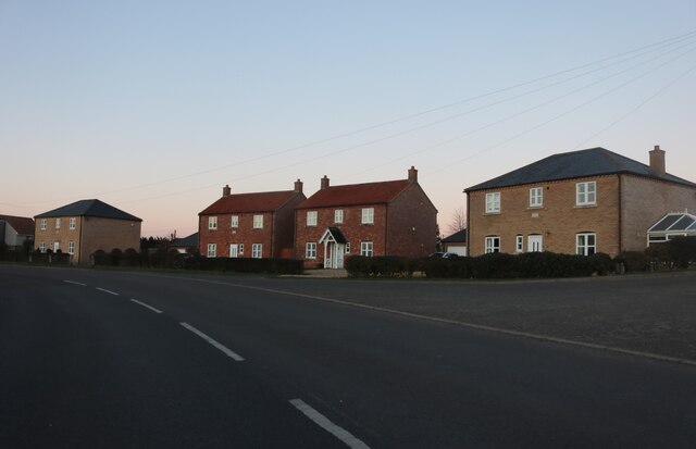
Downham West is a civil parish located in the county of Norfolk, in the East of England. It is situated near the town of Downham Market and covers an area of approximately 6.5 square miles. The parish is predominantly rural, with a mix of agricultural land, small villages, and hamlets.

The population of Downham West is around 500 residents, according to the latest census data. The parish is home to a number of historic buildings and landmarks, including the Grade I listed church of St. Edmund, which dates back to the 12th century.

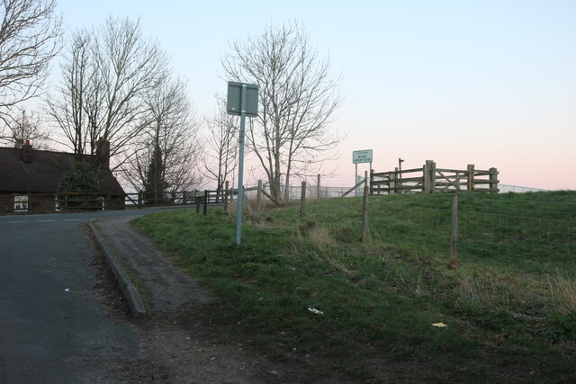
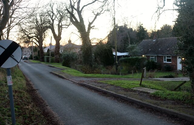
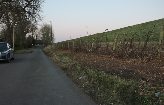
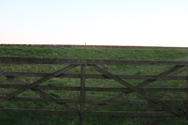
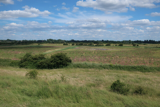
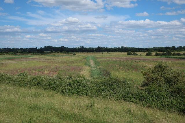
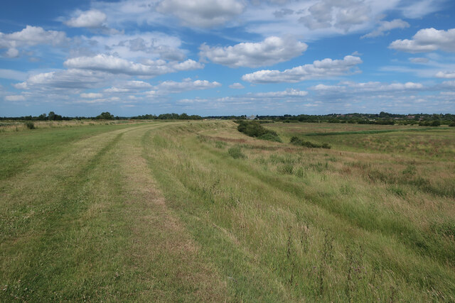
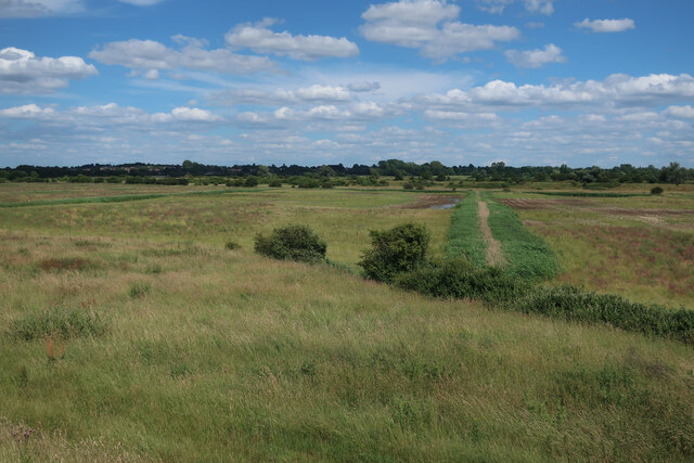
Downham West is known for its picturesque countryside, with rolling fields, meadows, and woodlands surrounding the small communities within the parish. The area is popular with walkers, cyclists, and nature enthusiasts, who can enjoy the tranquil surroundings and wildlife.

The parish has a strong sense of community, with various local events and activities taking place throughout the year. There are also a number of amenities and services available to residents, including a village hall, shops, and schools. Overall, Downham West offers a peaceful and idyllic setting for those looking to enjoy rural life in Norfolk.

If you have any feedback on the listing, please let us know in the comments section below.

Downham West Images

Images are sourced within 2km of 52.599099/0.338735 or Grid Reference TF5802. Thanks to Geograph Open Source API. All images are credited.

Bridleway by Old Bedford River
Denver Sluice Several of the Fenland rivers and drainage channels meet here, see <a href="https://www.geograph.org.uk/photo/4330741">TF5801 : The description of the Denver sluices</a>
Denver Sluice
Several of the Fenland rivers and drainage channels meet here, see TF5801 : The description of the Denver sluices
Pontoon on the Great Ouse by Denver Sluice
Bridleway to Salters Lode By the Great Ouse, with piling to reinforce the bank. The river is higher than the surrounding fields, as is common in the Fens.
Bridleway to Salters Lode
By the Great Ouse, with piling to reinforce the bank. The river is higher than the surrounding fields, as is common in the Fens.
By Downham Bridge on Farthing Road
Farthing Road, Downham Market
Farthing Road, Downham Market The River Great Ouse is behind the bank.
Farthing Road, Downham Market
The River Great Ouse is behind the bank.
The bank of the Great Ouse, Downham Market This is a private strip of grassland along the river bank.
The bank of the Great Ouse, Downham Market
This is a private strip of grassland along the river bank.
Little bridge in Salters Lode It provides access to the half of the village over Well Creek
Little bridge in Salters Lode
It provides access to the half of the village over Well Creek
New houses on Downham Road, Salters Lode These were designed to look similar to the existing houses.
New houses on Downham Road, Salters Lode
These were designed to look similar to the existing houses.
Downham Road at the junction of Farthing Road
Downham Road, Salter's Lode Well Creek is behind the banking.
Downham Road, Salter's Lode
Well Creek is behind the banking.
Former arable land near Denver Sluice The area is relatively small and bounded by The Great Ouse and the Relief Channel, which makes it a good area to change water levels without affecting any neighbouring fields. See <a href="https://www.geograph.org.uk/photo/4765173">TF5801 : Farmland between Great Ouse and Relief Channel</a> for an earlier view.
Former arable land near Denver Sluice
The area is relatively small and bounded by The Great Ouse and the Relief Channel, which makes it a good area to change water levels without affecting any neighbouring fields. See TF5801 : Farmland between Great Ouse and Relief Channel for an earlier view.
Wetland creation area near Denver Sluice Former arable land. The area is relatively small and bounded by The Great Ouse and the Relief Channel, which makes it a good area to change water levels without affecting any neighbouring fields. See <a href="https://www.geograph.org.uk/photo/2734301">TF5801 : Farmland by River Great Ouse</a> for an earlier view.
Wetland creation area near Denver Sluice
Former arable land. The area is relatively small and bounded by The Great Ouse and the Relief Channel, which makes it a good area to change water levels without affecting any neighbouring fields. See TF5801 : Farmland by River Great Ouse for an earlier view.
Former arable land near Denver Sluice The area is relatively small and bounded by The Great Ouse and the Relief Channel, which makes it a good area to change water levels without affecting any neighbouring fields. See <a href="https://www.geograph.org.uk/photo/4765173">TF5801 : Farmland between Great Ouse and Relief Channel</a> for an earlier view.
Former arable land near Denver Sluice
The area is relatively small and bounded by The Great Ouse and the Relief Channel, which makes it a good area to change water levels without affecting any neighbouring fields. See TF5801 : Farmland between Great Ouse and Relief Channel for an earlier view.
Bank of the Great Ouse See <a href="https://www.geograph.org.uk/photo/4765194">TF5802 : Bridleway by River Great Ouse</a> for a view before the arable fields were converted to wetland.
Bank of the Great Ouse
See TF5802 : Bridleway by River Great Ouse for a view before the arable fields were converted to wetland.
Former arable land near Denver Sluice The area is relatively small and bounded by The Great Ouse and the Relief Channel, which makes it a good area to change water levels without affecting any neighbouring fields.
Former arable land near Denver Sluice
The area is relatively small and bounded by The Great Ouse and the Relief Channel, which makes it a good area to change water levels without affecting any neighbouring fields.
Show me another place!

Downham West is located at Grid Ref: TF5802 (Lat: 52.599099, Lng: 0.338735)

Administrative County: Norfolk

District: King's Lynn and West Norfolk

Police Authority: Norfolk

What 3 Words

///trophy.relating.storybook. Near Downham Market, Norfolk

Nearby Locations

Downham West

Related Wikis

Downham West

Downham West is a civil parish in the English county of Norfolk The parish is 47.6 miles (76.6 km) west of Norwich, 16.3 miles (26.2 km) south-south-west...

Well Creek

Well Creek is a waterway in Norfolk, England that is a tributary to the River Great Ouse. Rising from the River Nene, the waterway in its current alignment...

Downham Market railway station

Downham Market railway station (formerly Downham) is on the Fen line in the east of England, serving the town of Downham Market, Norfolk. It is 86 miles...

Denver railway station (England)

Denver railway station (originally opened as Denver Road Gate) was a station in Denver, Norfolk on the Great Eastern Railway route between King's Lynn...

Have you been to Downham West?

Leave your review of Downham West below (or comments, questions and feedback).