Downham
Civil Parish in Lancashire Ribble Valley
England
Downham

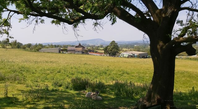
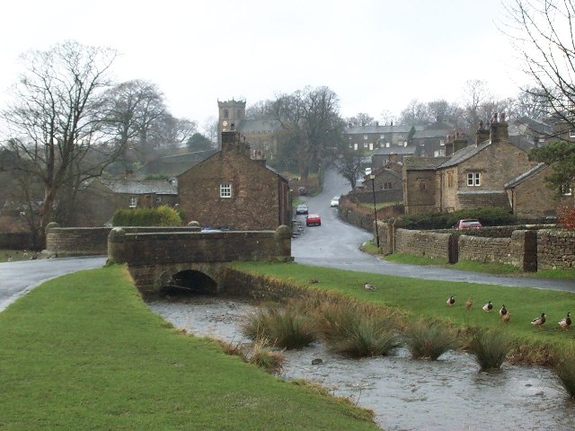
Downham is a civil parish located in Lancashire, England. It is a small village situated in the picturesque Ribble Valley, surrounded by rolling countryside and farmland. The village is known for its quaint charm and traditional English architecture, with many of the buildings dating back centuries.
The parish is home to a population of around 200 residents, making it a tight-knit community where neighbors know each other by name. The village has a small primary school, church, and village hall, providing essential services and amenities for its residents.
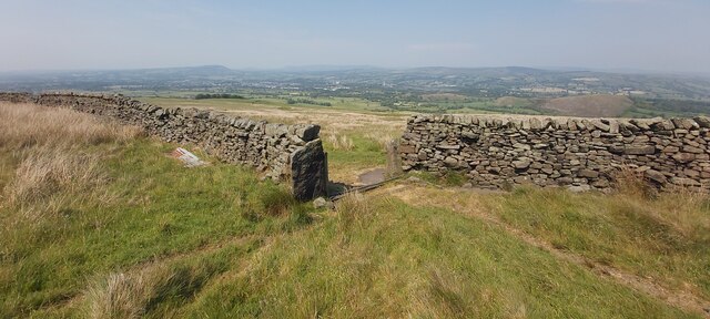
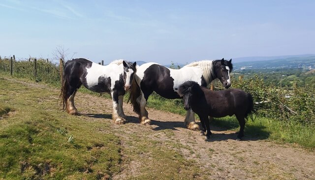
Downham is a popular destination for tourists looking to explore the Lancashire countryside, with many scenic walking trails and cycling routes in the surrounding area. The village is also known for its annual village fete, which attracts visitors from near and far.
Overall, Downham is a peaceful and idyllic village, offering a tranquil escape from the hustle and bustle of city life. Its charming atmosphere and stunning rural surroundings make it a hidden gem in the heart of Lancashire.
If you have any feedback on the listing, please let us know in the comments section below.
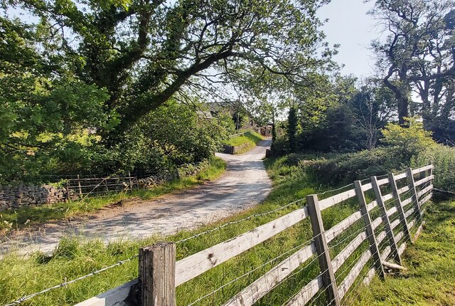
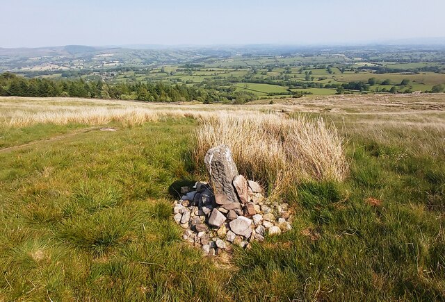
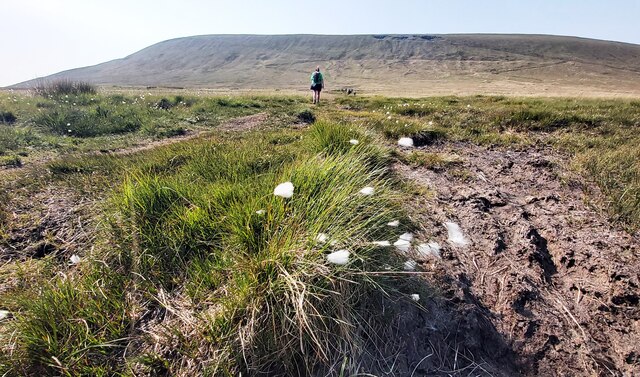
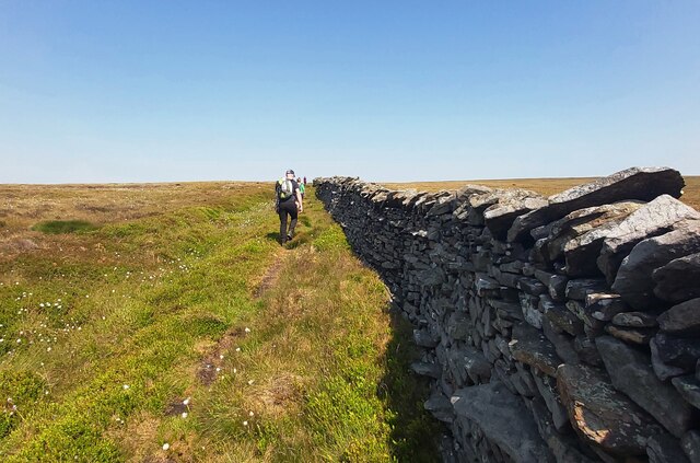
Downham Images
Images are sourced within 2km of 53.886733/-2.31125 or Grid Reference SD7943. Thanks to Geograph Open Source API. All images are credited.


Downham is located at Grid Ref: SD7943 (Lat: 53.886733, Lng: -2.31125)
Administrative County: Lancashire
District: Ribble Valley
Police Authority: Lancashire
What 3 Words
///rounds.lawfully.spine. Near Chatburn, Lancashire
Nearby Locations
Related Wikis
Downham, Lancashire
Downham is a village and civil parish in Lancashire, England. It is in the Ribble Valley district and at the United Kingdom 2001 census had a population...
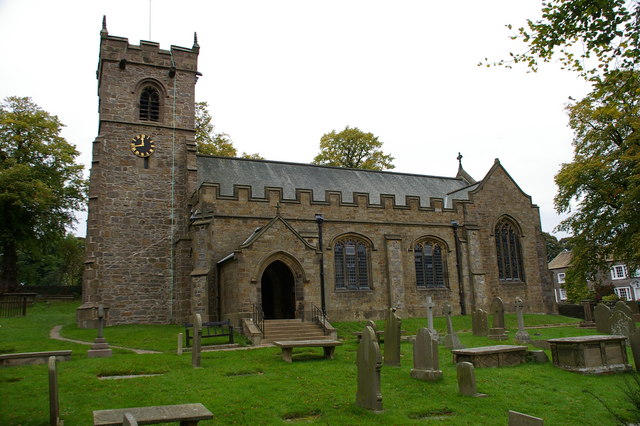
St Leonard's Church, Downham
St Leonard's Church is in the village of Downham, Lancashire, England. It is an active Anglican parish church in the diocese of Blackburn. The tower...
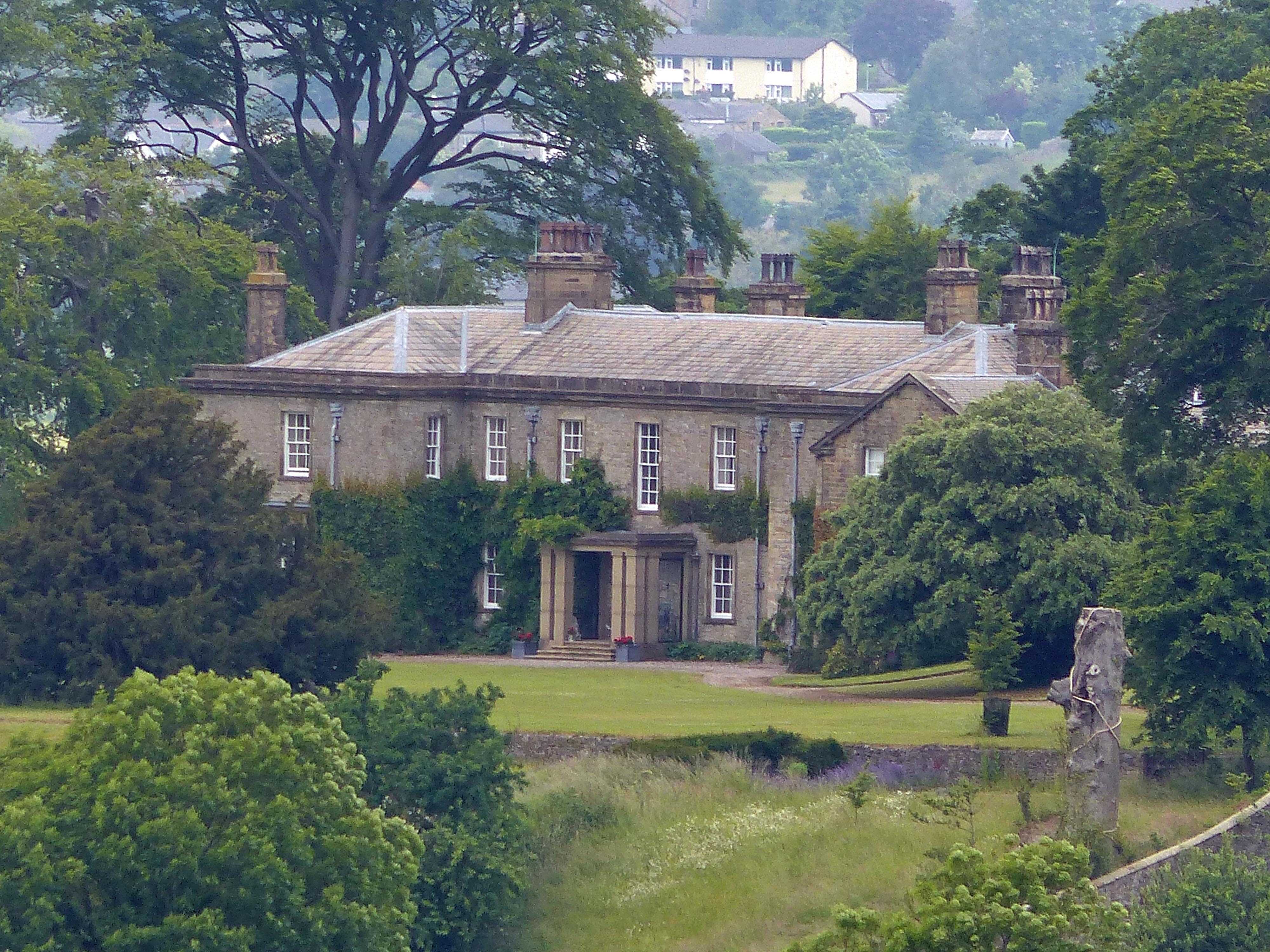
Downham Hall
Downham Hall is an English country house in Downham, Lancashire, England. == Overview == Downham Hall was designed by George Webster (1797–1864) in 1835...

Twiston
Twiston is a village and a civil parish in the Ribble Valley District, in the English county of Lancashire. It is near the town of Clitheroe and the village...
Nearby Amenities
Located within 500m of 53.886733,-2.31125Have you been to Downham?
Leave your review of Downham below (or comments, questions and feedback).