Doulting
Civil Parish in Somerset Mendip
England
Doulting

Doulting is a civil parish located in the county of Somerset, England. Situated in the Mendip Hills, it is approximately 4 miles to the southwest of Shepton Mallet and 17 miles south of the city of Bath. The parish covers an area of around 1,500 acres and has a population of about 700 residents.
Doulting is renowned for its historical significance, particularly for its connection to the stone industry. The village has a long history of quarrying, dating back to Roman times. The famous Doulting Stone, a type of limestone, has been extracted from local quarries for centuries and has been used in the construction of many notable buildings across the country, including Wells Cathedral.
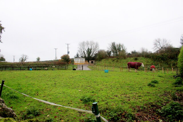
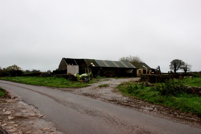
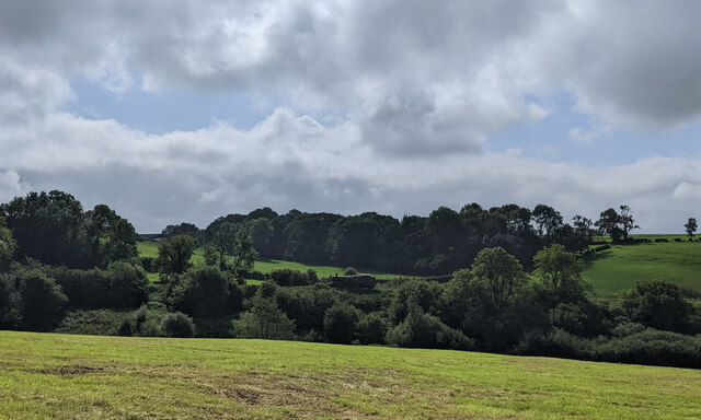
The village itself is small, consisting of a few scattered houses and farms. It is surrounded by picturesque countryside, offering stunning views of the Mendip Hills and the Somerset Levels. The parish is also home to the Doulting Stone Quarry, which continues to operate today.
In terms of amenities, Doulting has a church, St. Aldhelm's Church, which dates back to the 12th century. The village also has a primary school, providing education for local children. Additionally, there are a few pubs and shops in nearby Shepton Mallet, providing essential services for residents.
Doulting offers a tranquil and rural lifestyle, with its rich history and natural beauty attracting visitors and residents alike. It is a place where the ancient craft of stone quarrying continues to thrive, preserving the heritage of the area.
If you have any feedback on the listing, please let us know in the comments section below.
Doulting Images
Images are sourced within 2km of 51.18498/-2.509708 or Grid Reference ST6442. Thanks to Geograph Open Source API. All images are credited.


Doulting is located at Grid Ref: ST6442 (Lat: 51.18498, Lng: -2.509708)
Administrative County: Somerset
District: Mendip
Police Authority: Avon and Somerset
What 3 Words
///richly.sniff.magnets. Near Shepton Mallet, Somerset
Nearby Locations
Related Wikis

St Aldhelm's Well
St Aldhelm's Well in Doulting, Somerset, England, is an ancient spring which is the source of the River Sheppey. The site is a Grade II listed building...
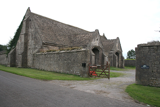
Tithe Barn, Manor Farm, Doulting
The Tithe Barn at Manor Farm (also known as Abbey Barn) in Doulting, Somerset, England, was built in the 15th century, and has been designated as a Grade...
Doulting
Doulting is a village and civil parish 1.5 miles (2 km) east of Shepton Mallet, on the A361, in the Mendip district of Somerset, England. == History... ==

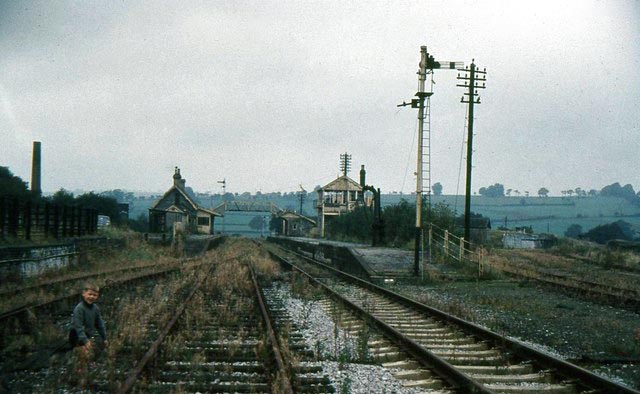
Doulting Railway Cutting
Doulting Railway Cutting (grid reference ST648424) is a 2.8 hectare geological Site of Special Scientific Interest in Somerset, notified in 1971. The cutting...

Doulting Stone Quarry
Doulting Stone Quarry (grid reference ST648436) is a limestone quarry at Doulting, on the Mendip Hills, Somerset, England. At present there are only three...

Mendip Vale railway station
Mendip Vale is the western terminus of the East Somerset Railway. == Services == All trains terminate at Mendip Vale, with a 5-10 minute wait while the...

Merryfield Lane railway station
Merryfield Lane Halt is a railway station at the summit of the East Somerset Railway. It was built in 1981 and originally served as the terminus of the...
Shepton Mallet (Charlton Road) railway station
Shepton Mallet (Charlton Road) was a station on the Somerset and Dorset Joint Railway in the county of Somerset in England. Opened as Shepton Mallet on...
Nearby Amenities
Located within 500m of 51.18498,-2.509708Have you been to Doulting?
Leave your review of Doulting below (or comments, questions and feedback).