Dorrington
Civil Parish in Lincolnshire North Kesteven
England
Dorrington
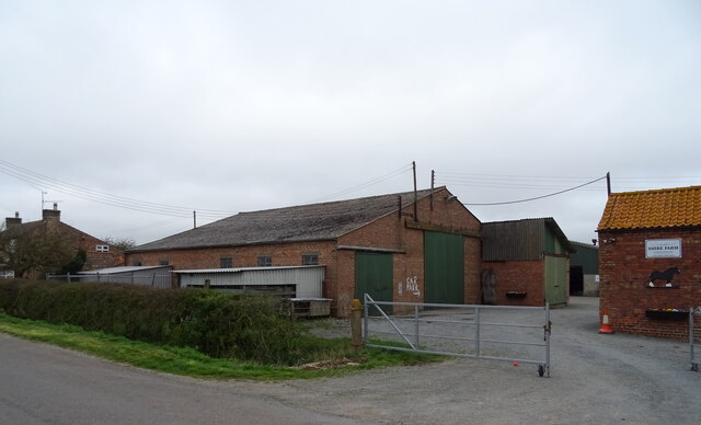
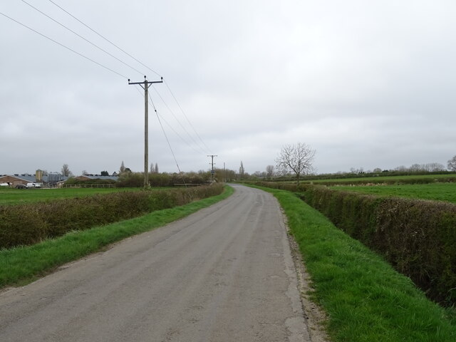
Dorrington is a civil parish located in the North Kesteven district of Lincolnshire, England. It is situated approximately 6 miles south of the city of Lincoln and covers an area of about 7.5 square miles. The parish is predominantly rural, characterized by agricultural fields, small woodlands, and open countryside.
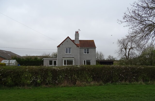
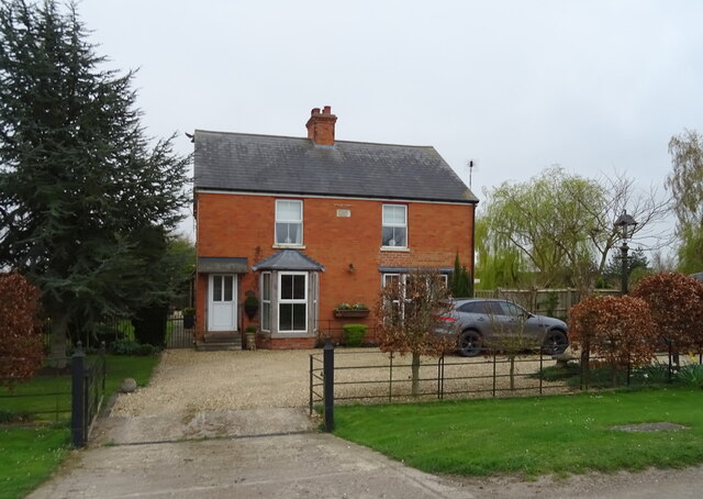
The village of Dorrington itself is a small settlement with a population of around 600 residents. It is nestled in the Lincolnshire countryside and has a charming and picturesque atmosphere. The village is known for its quaint cottages, historic buildings, and well-maintained gardens.
Dorrington boasts a range of amenities and services, including a primary school, a village hall, and a local pub. The village has a strong sense of community, and regular events and activities are organized for residents to enjoy.
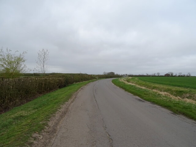
The surrounding countryside offers ample opportunities for outdoor activities such as walking, cycling, and horse riding. The parish is also home to several nature reserves and wildlife areas, providing a haven for local fauna and flora.
Transport links in Dorrington are good, with regular bus services connecting the village to nearby towns and cities. The A15 road runs through the parish, providing easy access to Lincoln and other major routes.
Overall, Dorrington is a peaceful and idyllic rural parish, offering a high quality of life for its residents and a charming destination for visitors seeking tranquility and natural beauty.
If you have any feedback on the listing, please let us know in the comments section below.
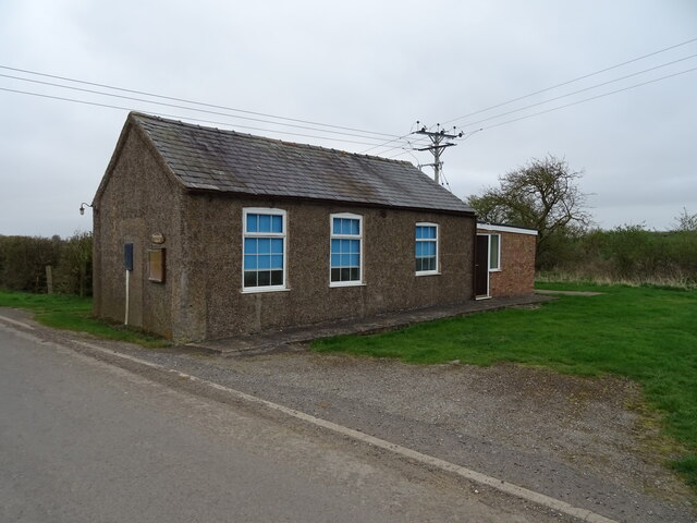
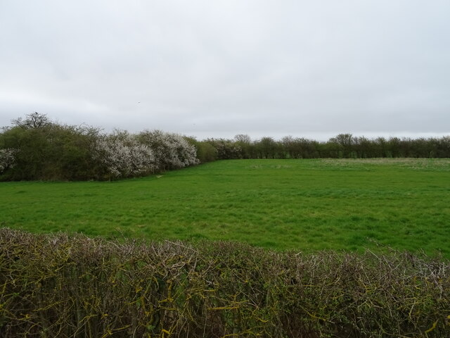
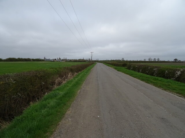
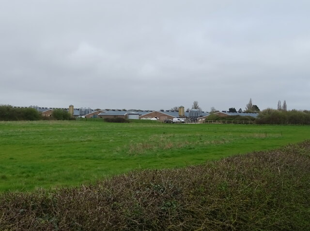
Dorrington Images
Images are sourced within 2km of 53.069146/-0.35507 or Grid Reference TF1053. Thanks to Geograph Open Source API. All images are credited.


Dorrington is located at Grid Ref: TF1053 (Lat: 53.069146, Lng: -0.35507)
Administrative County: Lincolnshire
District: North Kesteven
Police Authority: Lincolnshire
What 3 Words
///stoppage.subsystem.album. Near Ruskington, Lincolnshire
Nearby Locations
Related Wikis

North Ings Farm Museum
The North Ings Farm Museum is a working farm museum containing a 2 ft (610 mm) narrow gauge railway, running on a circuit of 1⁄4 mile (0.40 km). It is...

Digby railway station
Digby railway station was a railway station in Digby, Lincolnshire, which was open between 1882 and 1961. == History == The railway line between Sleaford...

RAF Anwick
Royal Air Force Anwick or more simply RAF Anwick is a former Second World War faux Royal Air Force decoy station near the village of Anwick, 21.3 mi (34...

Dorrington, Lincolnshire
Dorrington is a village and civil parish in the North Kesteven district of Lincolnshire, England. It is situated 1.2 miles (2 km) both south from Digby...
Nearby Amenities
Located within 500m of 53.069146,-0.35507Have you been to Dorrington?
Leave your review of Dorrington below (or comments, questions and feedback).